Antique World Map 1655 — Hondius, Nova Totius Terrarum Orbis

Description
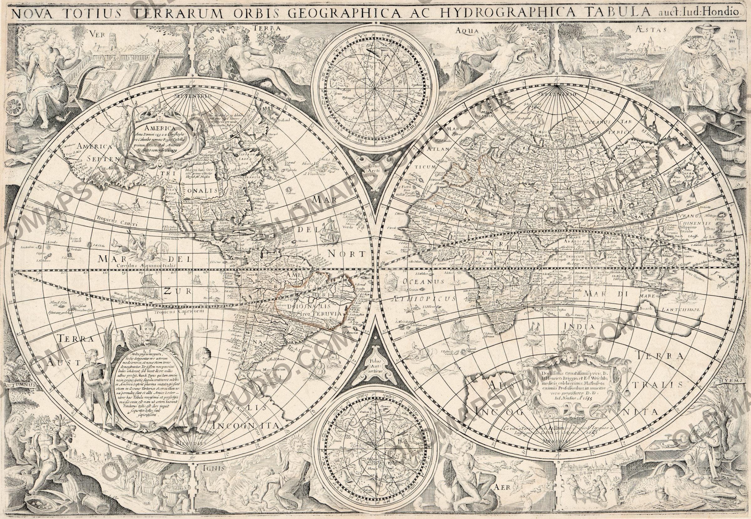
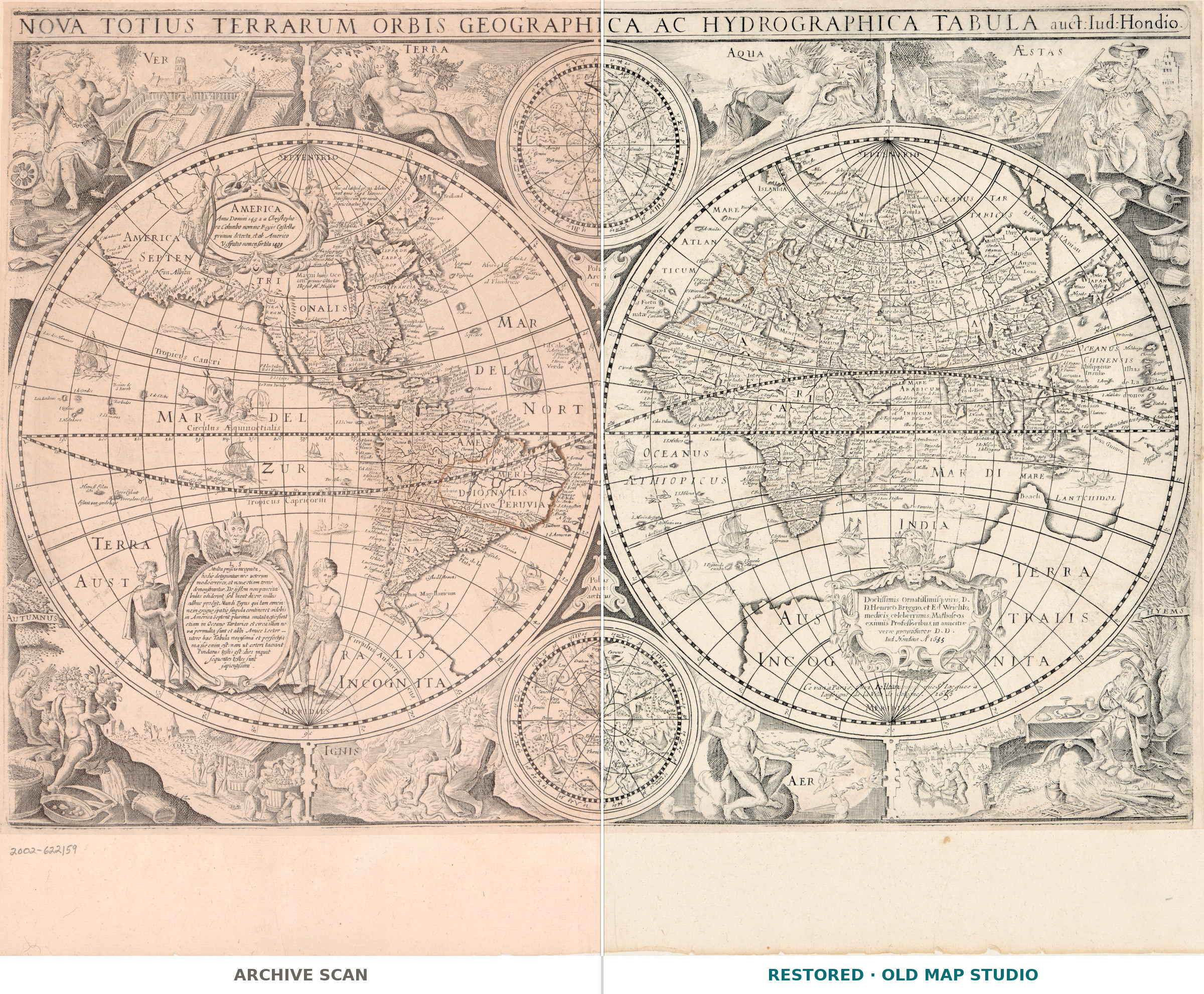
An old world map of 1655, with the sky drawn beside the earth
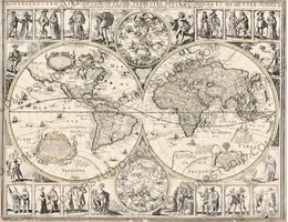
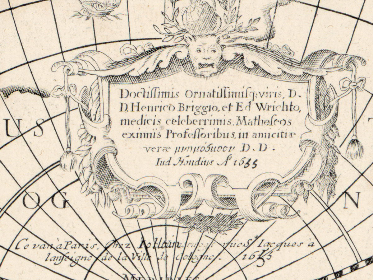
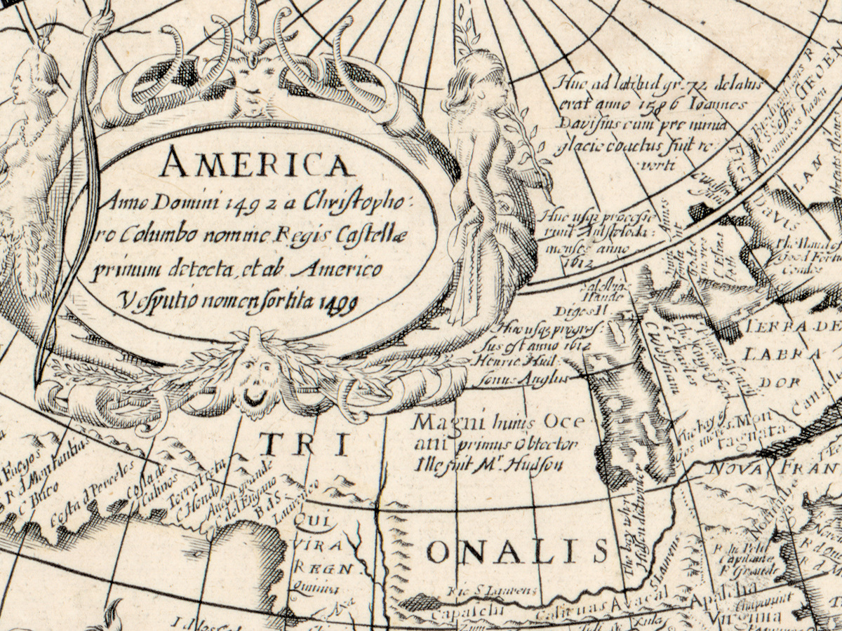
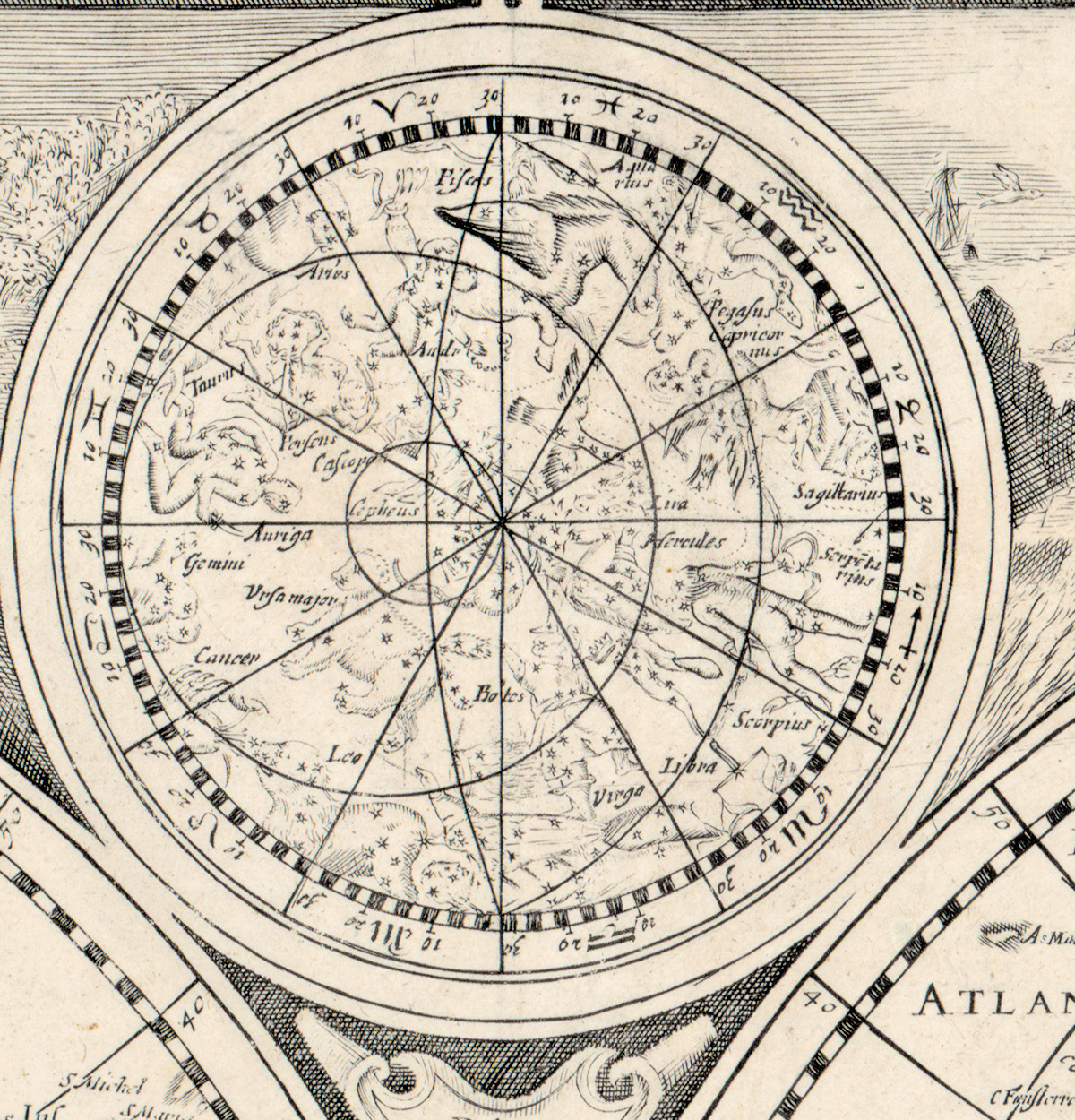
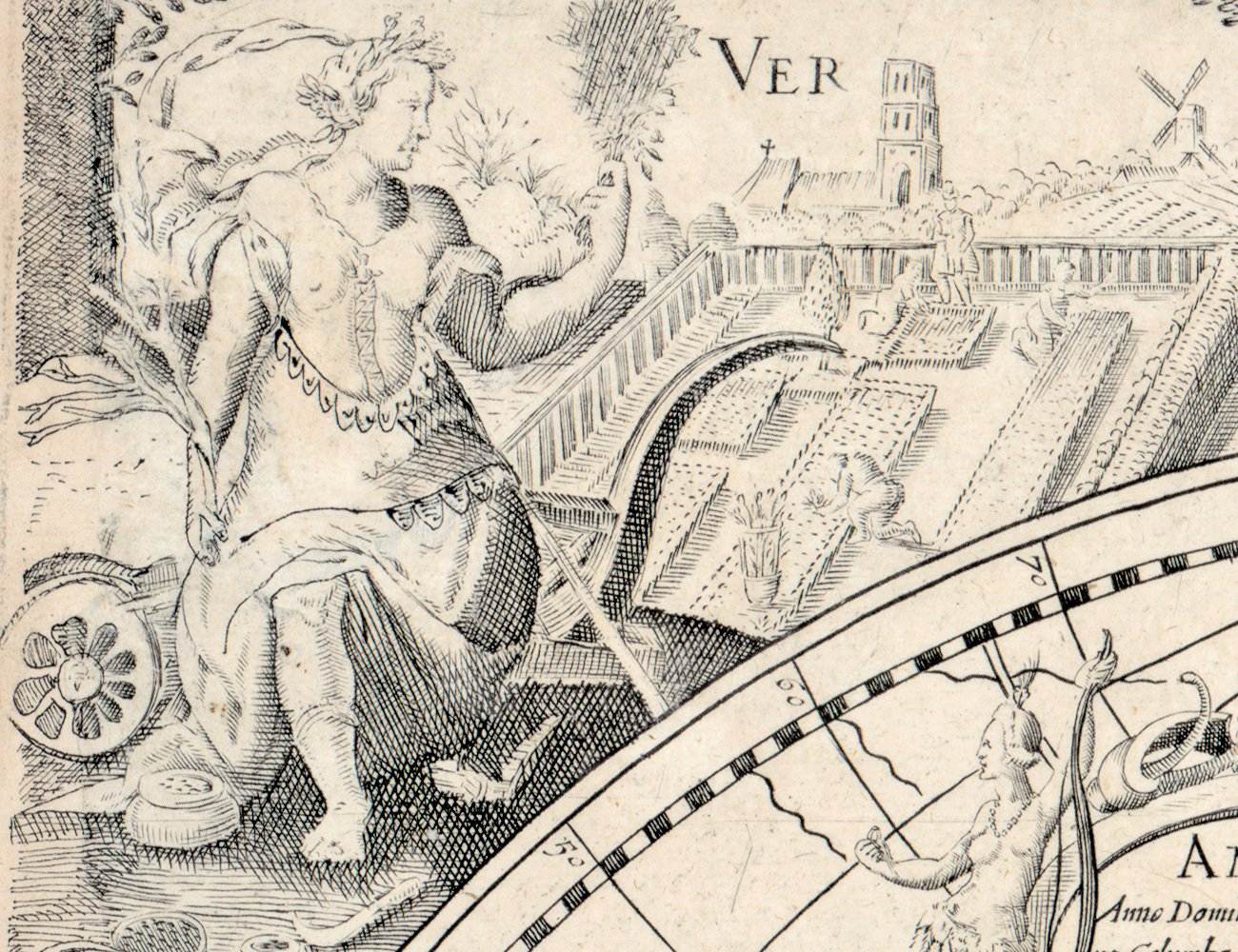
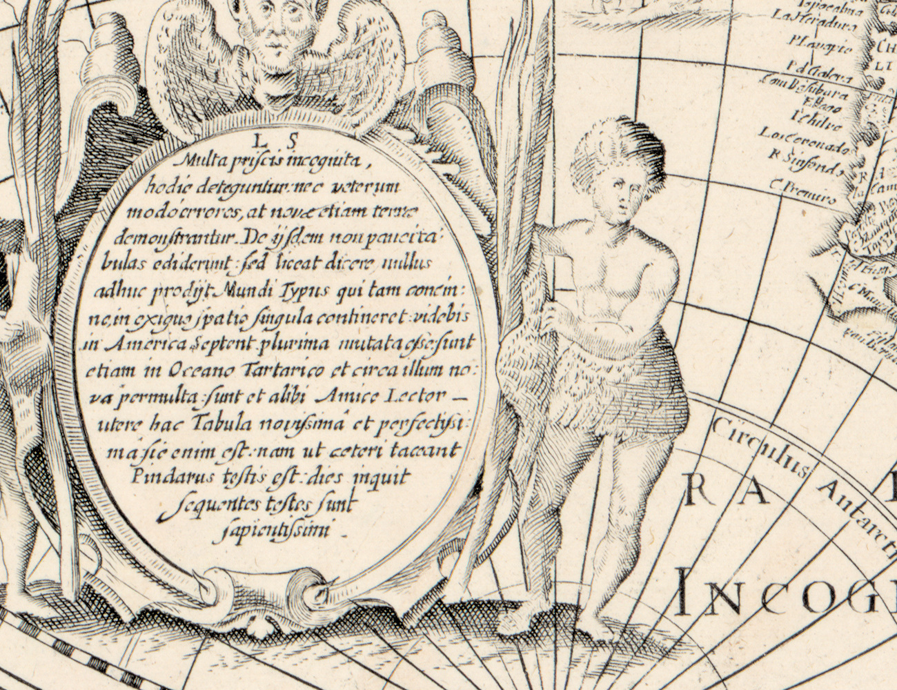
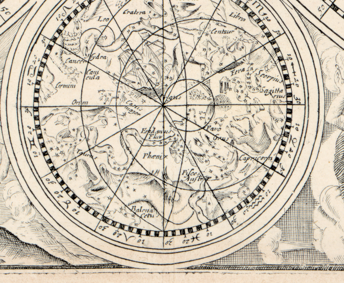
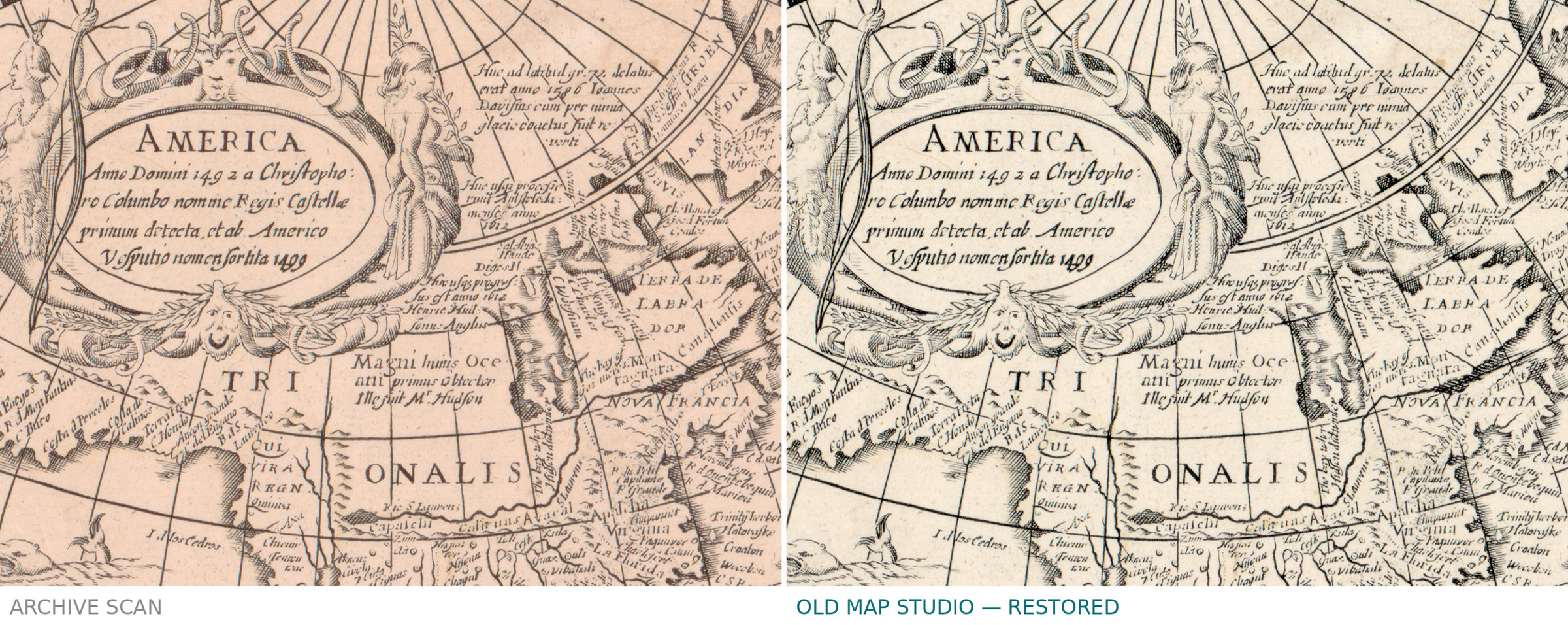
Two hemispheres of the earth, each 28 cm across, on a sheet of 39 by 57 cm. What sets this sheet apart from the usual pair of hemispheres is listed plainly in the Library of Congress record: besides the text and the illustrations it carries two ancillary celestial hemispheres, so the northern and southern sky sit on the same page as the northern and southern half of the world. Relief is drawn pictorially, in the small hill symbols of the period. The record names Jodocus Hondius, gives the year as 1655, puts the place of printing as Amsterdam with a question mark and names no publisher at all.
Your file
| Original | Jodocus Hondius, Amsterdam, 1655, publisher not named in the record |
| Sheet | 39 × 57 cm, two hemispheres of 28 cm |
| Scan | 6680 × 5301 px, from the library's own scan, not an upscale |
| Print size at 300 dpi | up to 56 cm (22 in) on the long side |
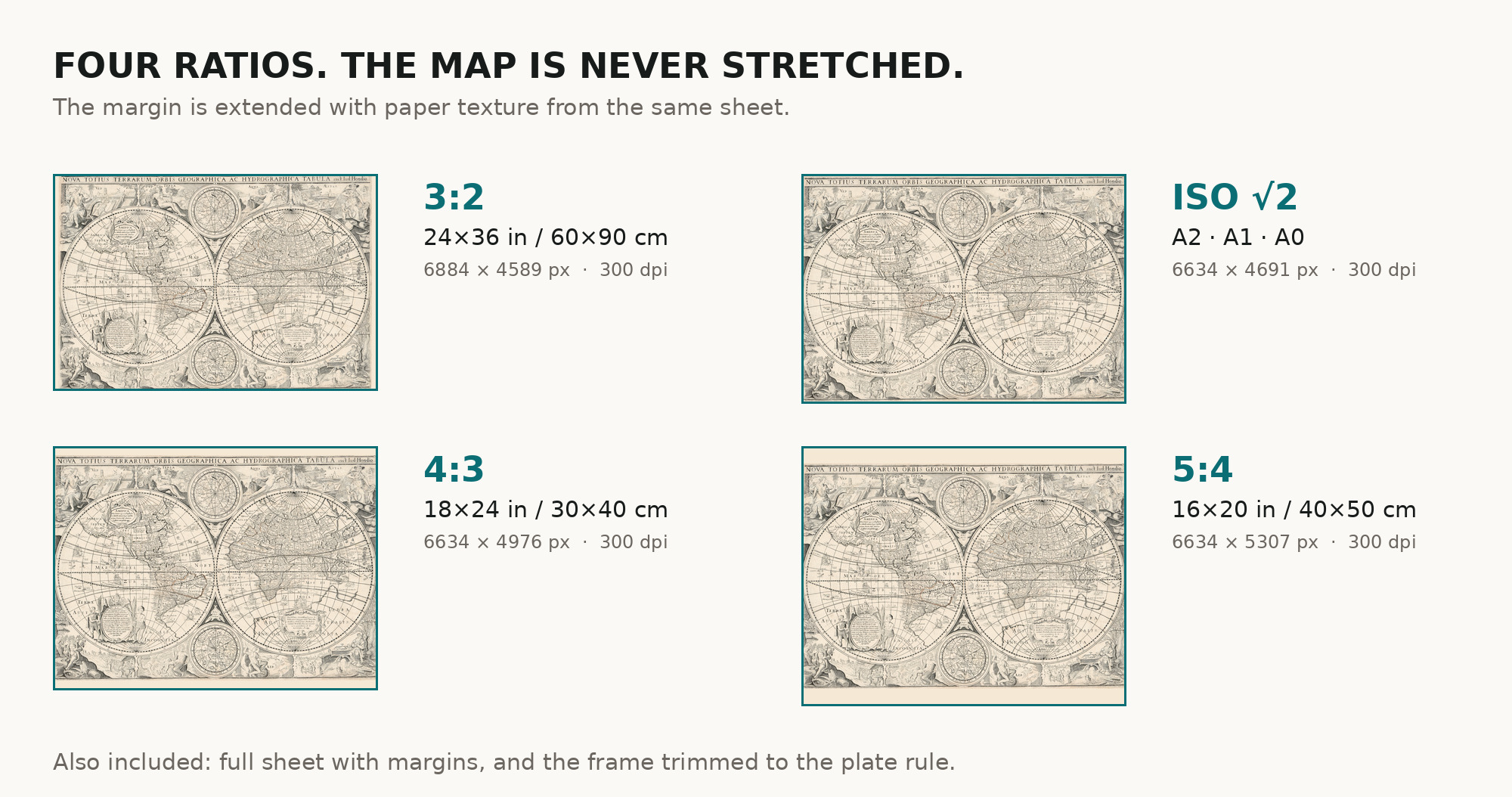
| You download | six ZIP archives: full sheet, trimmed, 3:2, 4:3, 5:4 and ISO A |
| Inside each one | one JPEG at 300 dpi, the restoration passport as a PDF, a READ ME |
How to print
- Print at 300 dpi at the size above and do not let the shop scale the file up.
- Pick the archive whose proportions match your frame, so nothing is cropped or stretched.
- Ask for matte fine-art paper, printed in sRGB with auto-enhancement off.
- Where to print it: print shops near you and checked prices at online labs.
Source and rights
Library of Congress, Geography and Map Division, call number G3200 1655 .H6, LCCN 2002622159. The library states the sheet is free to use and reuse. The archive and the shelfmark are named in the passport inside every ZIP. Catalogue record: Library of Congress →
Features
- Latin
Attachments
Reviews
No reviews found
See also
-
 Antique World Map 1709 — Moll, A New and Correct Map
-
Antique World Map 1645 — Blaeu, Novvelle et Exacte Description
-
Antique World Map 1799 — Chart of the World
-
Antique World Map c. 1675 — Seller, Novissima Totius Orbis
-
Antique World Map 1816 — Stieler, Planiglob der Antipoden
-
Antique World Map 1757 — The Earth's Western Planisphere