Antique World Map c. 1635 — Blaeu, Nova Totius Terrarum Orbis
WCBLAEU1635

Description
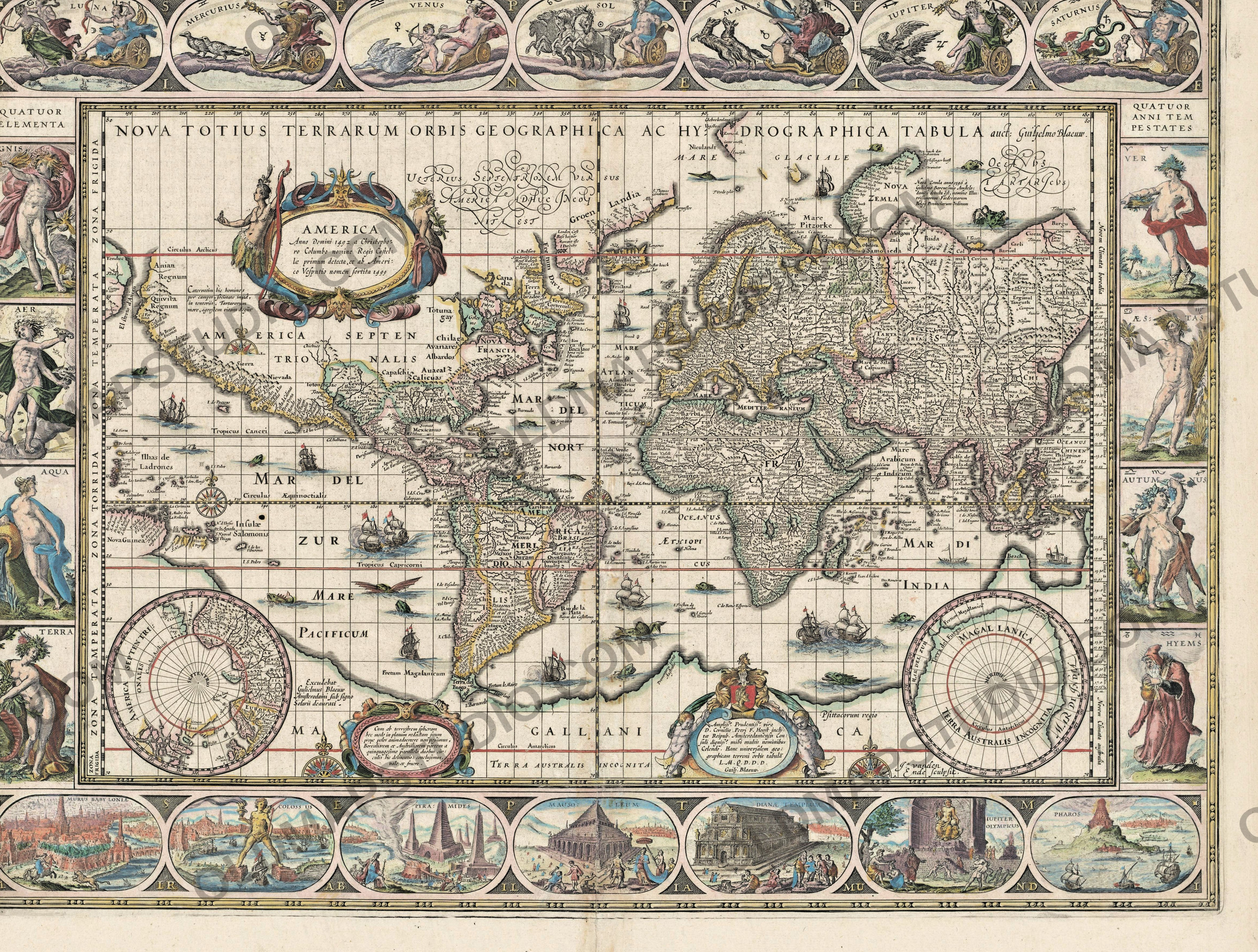
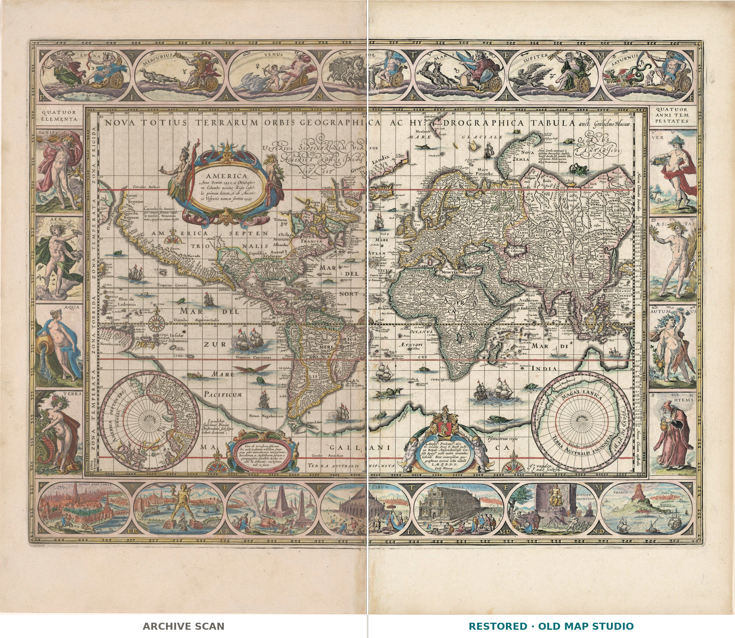
Blaeu's world map in its decorative borders
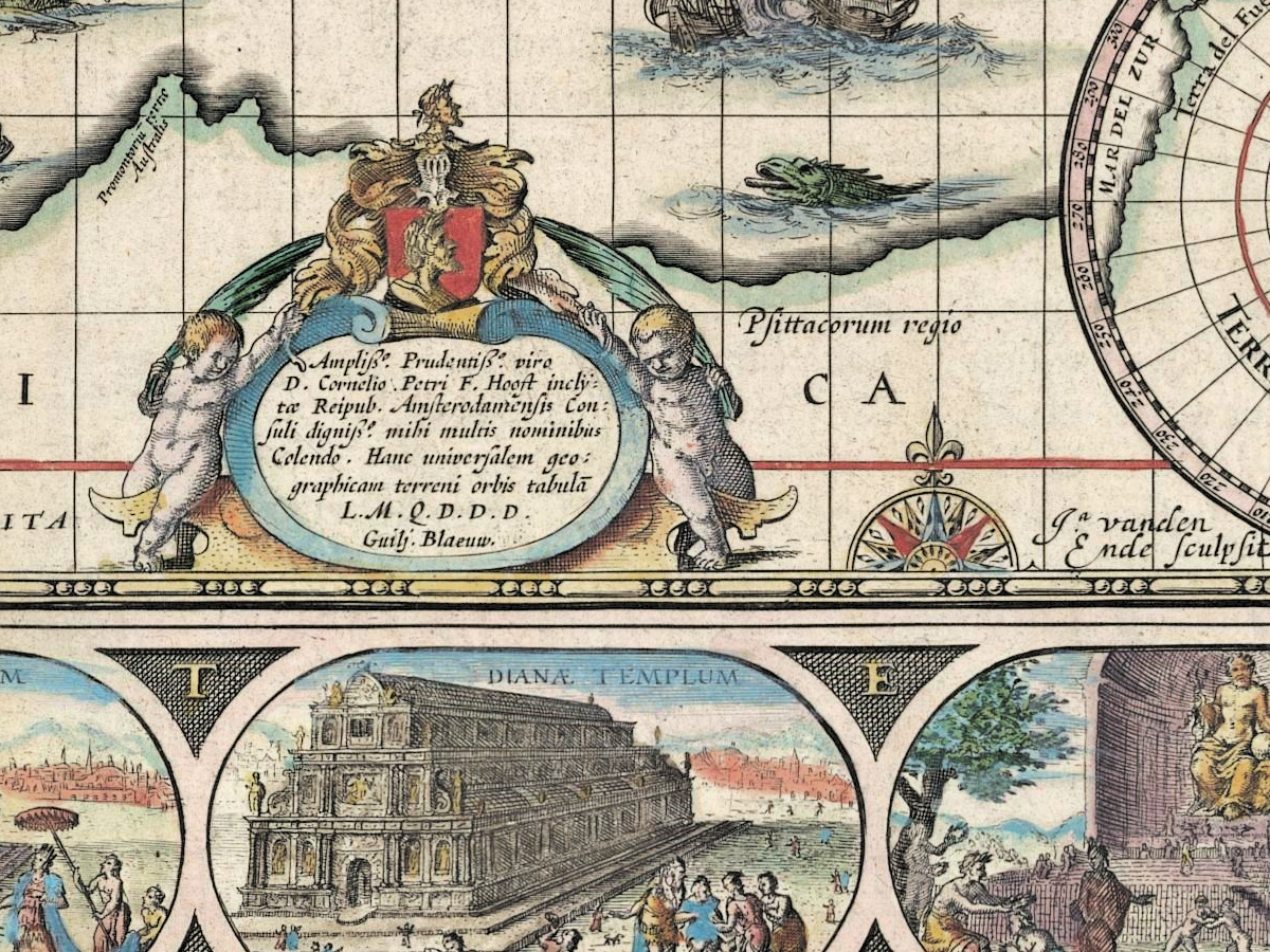
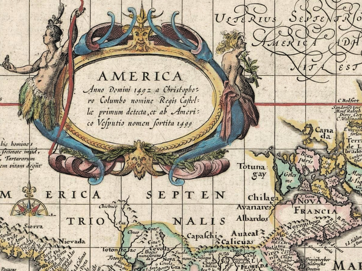
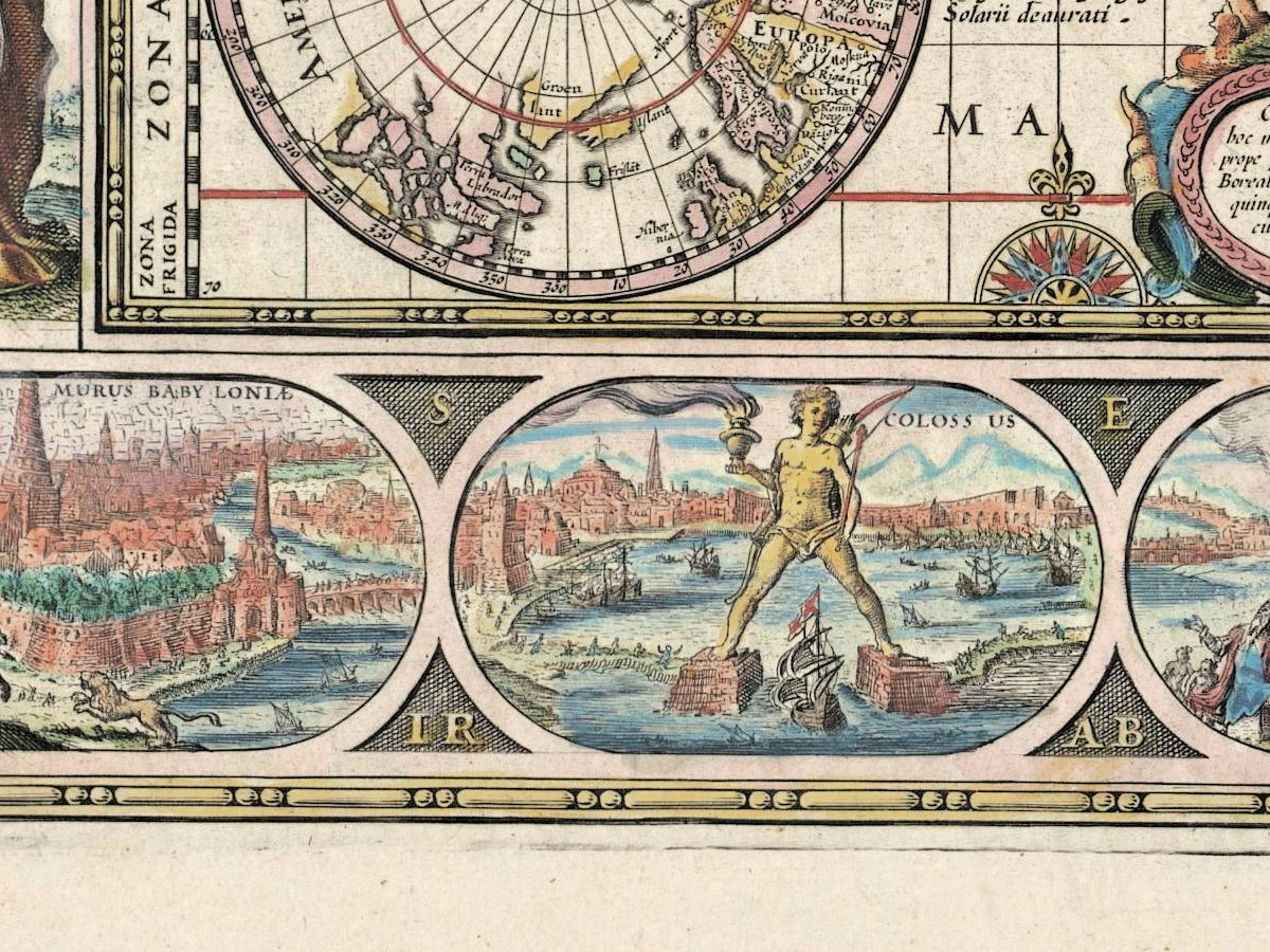
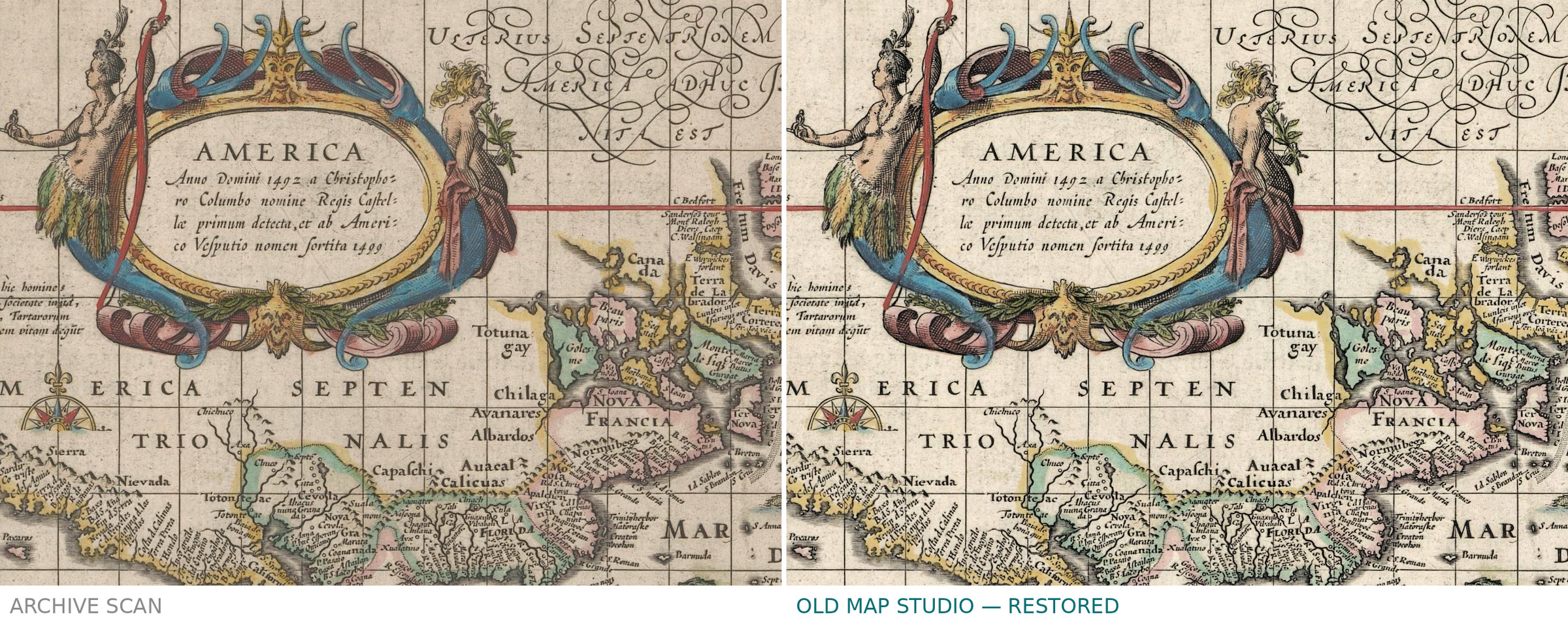
A world map from the Amsterdam house of Blaeu, published as Nova totius terrarum orbis geographica ac hydrographica tabula and dedicated by Willem Janszoon Blaeu to the Amsterdam burgomaster Cornelis Pietersz. Hooft. The plate was etched and engraved by Jan Aertse van den Ende, and the sheet was issued hand-colored, with two polar maps and allegorical borders: the heavenly bodies, the four elements, the seasons and the seven wonders of the ancient world. The Rijksmuseum dates it 1635–1649 and records letterpress text on the back.
Your file
| Original | Willem Janszoon Blaeu, Amsterdam, c. 1635, etching and engraving, hand color |
| Sheet | 41.3 × 54.5 cm |
| Scan | full sheet 5039 × 4221 px; the map inside the trimmed border 4669 × 3536 px. From the museum's own scan, not an upscale |
| Print size at 300 dpi | the map prints to 39 cm (15 in), the full sheet with margins to 42 cm (16 in) |
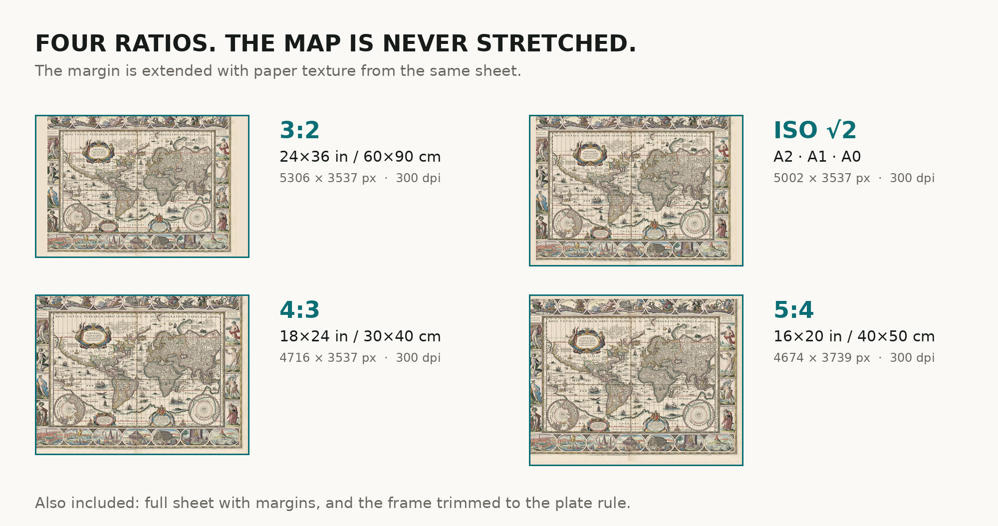
| You download | six ZIP archives: full sheet, trimmed, 3:2, 4:3, 5:4 and ISO A |
| Inside each one | one JPEG at 300 dpi, the restoration passport as a PDF, a READ ME |
How to print
- Print at 300 dpi at the size above and do not let the shop scale the file up.
- Pick the archive whose proportions match your frame, so nothing is cropped or stretched.
- Where to print it: print shops near you and checked prices at online labs.
Source and rights
Rijksmuseum, Amsterdam, object RP-P-1958-66, public domain. We obtained the scan through Wikimedia Commons. Catalogue record: Rijksmuseum →
Every map is a scan of a real sheet held in a named archive — library, shelfmark and year, all stated. Nothing generated, nothing redrawn.
Features
Map details
Century
1600s
Year
1635
Full original title
Nova totius terrarum orbis geographica ac hydrographica tabula
Place of publication
Amsterdam
Technique
Etching and engraving
Original color
Hand coloring
Language of the map
- Latin
File & printing
Full sheet width, px
5039
Full sheet height, px
4221
Map at 300 dpi, cm
39
Full sheet at 300 dpi, cm
42
Aspect ratio
1.19
Orientation
Landscape
Provenance & rights
Source archive
Rijksmuseum
Shelfmark or file ID
RP-P-1958-66
Rights
Public domain
Attachments
Reviews
No reviews found
See also
-
 Antique World Map 1764 — Bellin, Carte réduite du globe
-
Antique World Map c. 1807 — Hansteen, Abweichungskarte
-
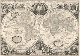
Antique World Map 1641 — Hondius, Nova Totius Terrarum Orbis
-
Antique World Map c. 1740 — Delisle, Hemisphere Septentrional
-
Antique World Map 1541 — Fries, Typus Orbis Ptolemaei
-
Antique World Map c. 1739 — Delisle, Hemisphere Meridional