Antique World Map c. 1508 — Egerton Portolan Atlas, Plate 14
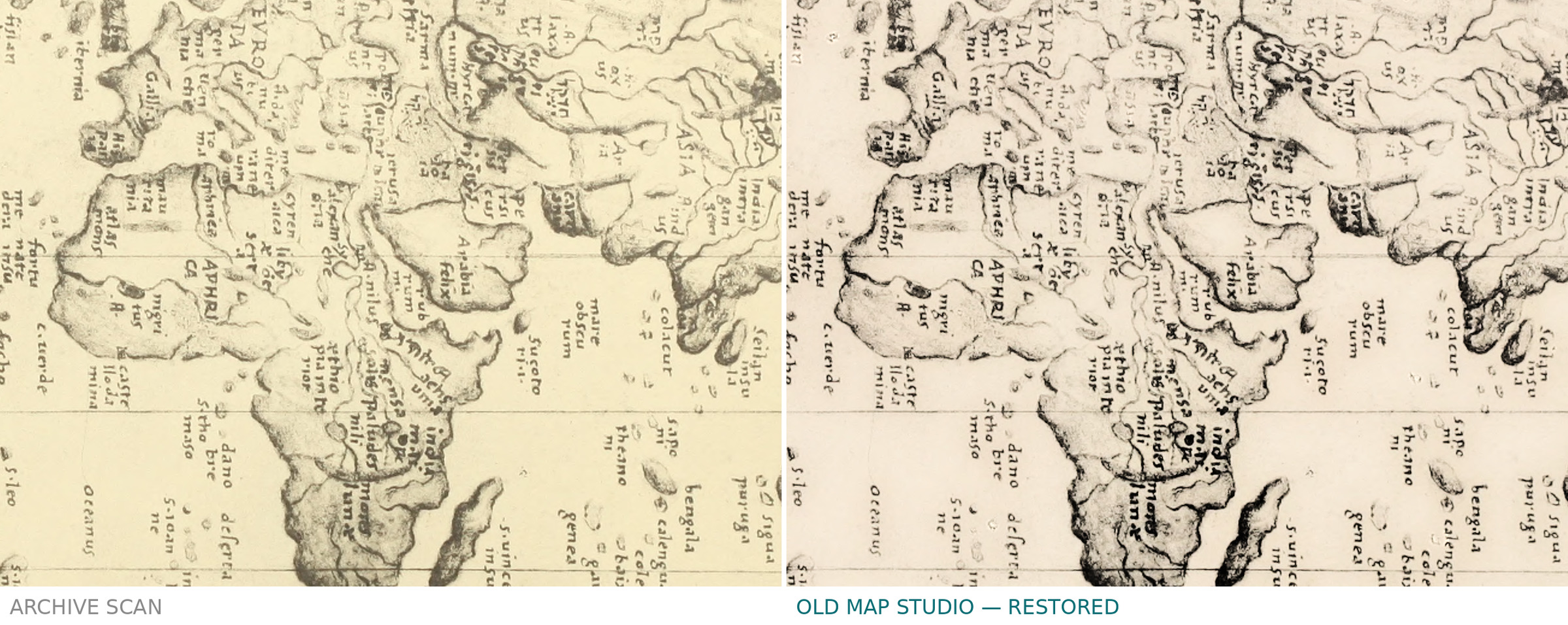
Description
An old world map from a manuscript portolan atlas, c. 1508
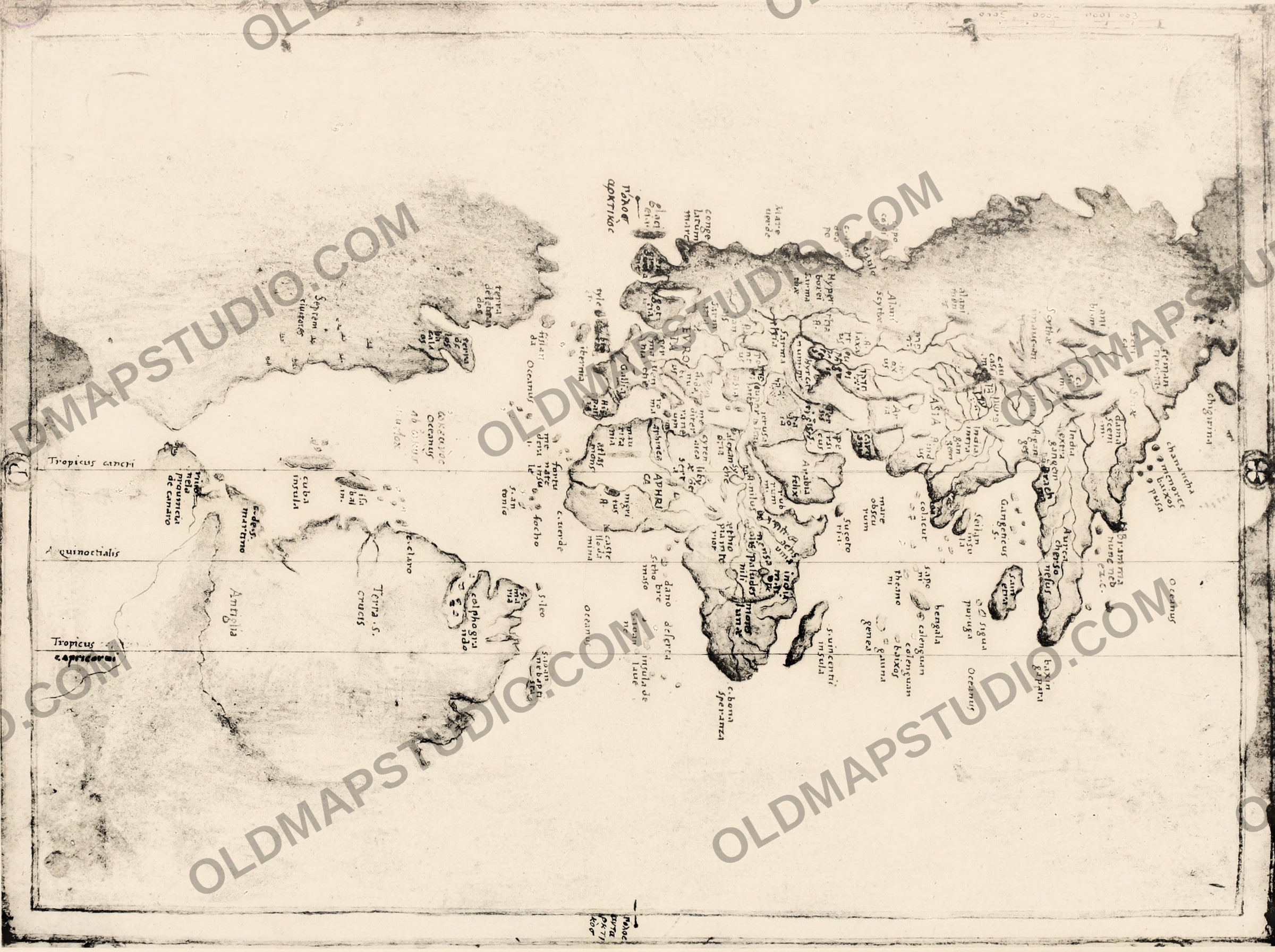
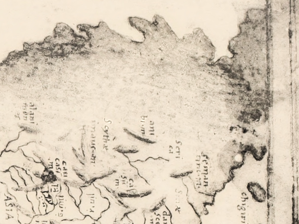
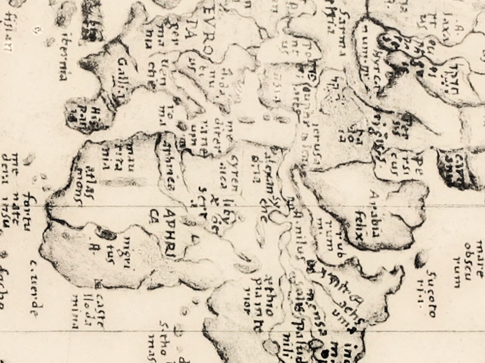
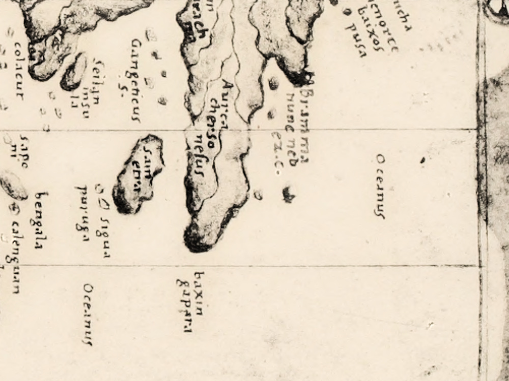
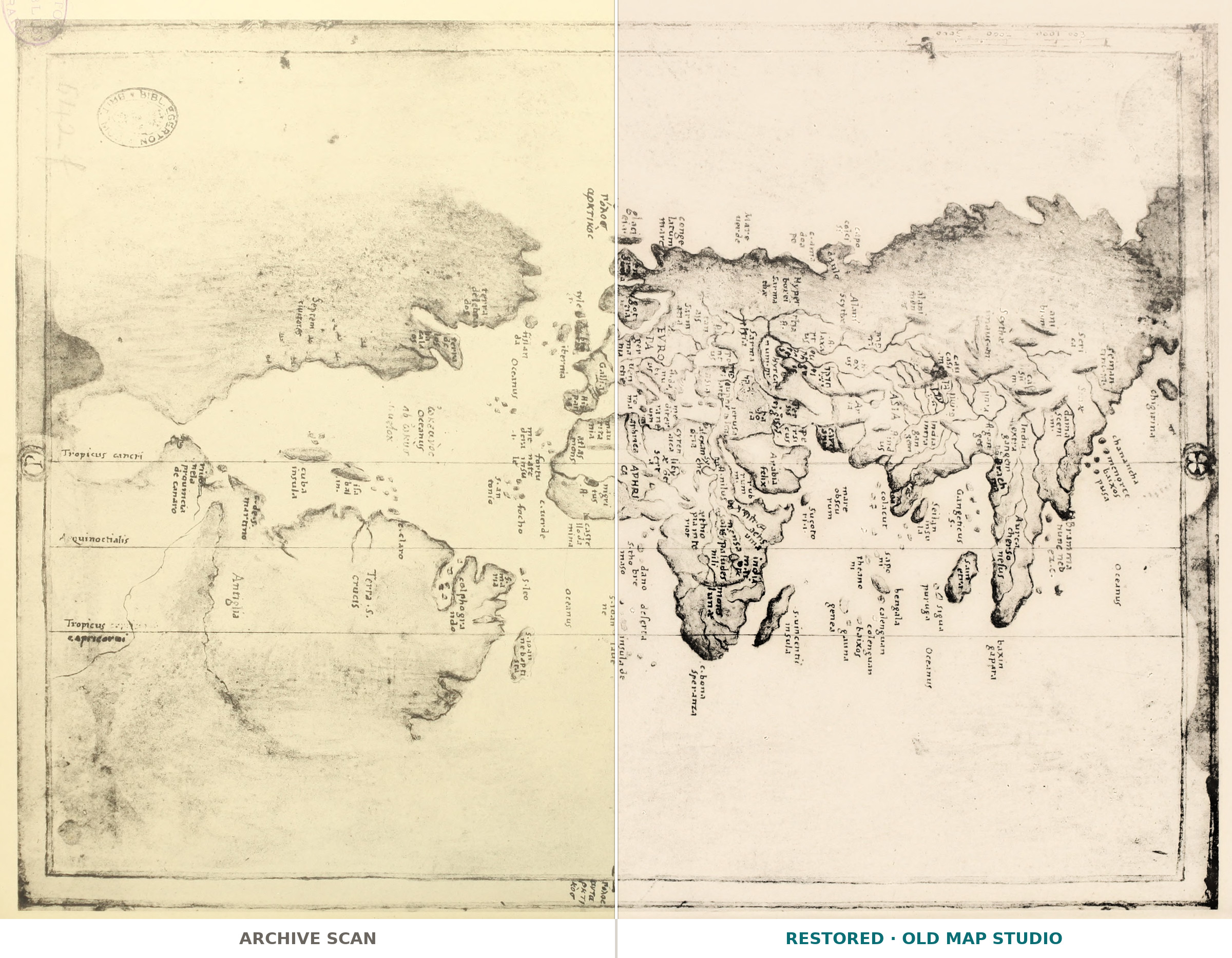
Plate 14 of Stevenson's 1911 photographic facsimile, made for the Hispanic Society of America, of a manuscript atlas in the British Library, Egerton MS 2803. The edition names Visconte Maggiolo as supposed author and dates the atlas to about 1508 — its attribution, not settled fact.
What is on the sheet
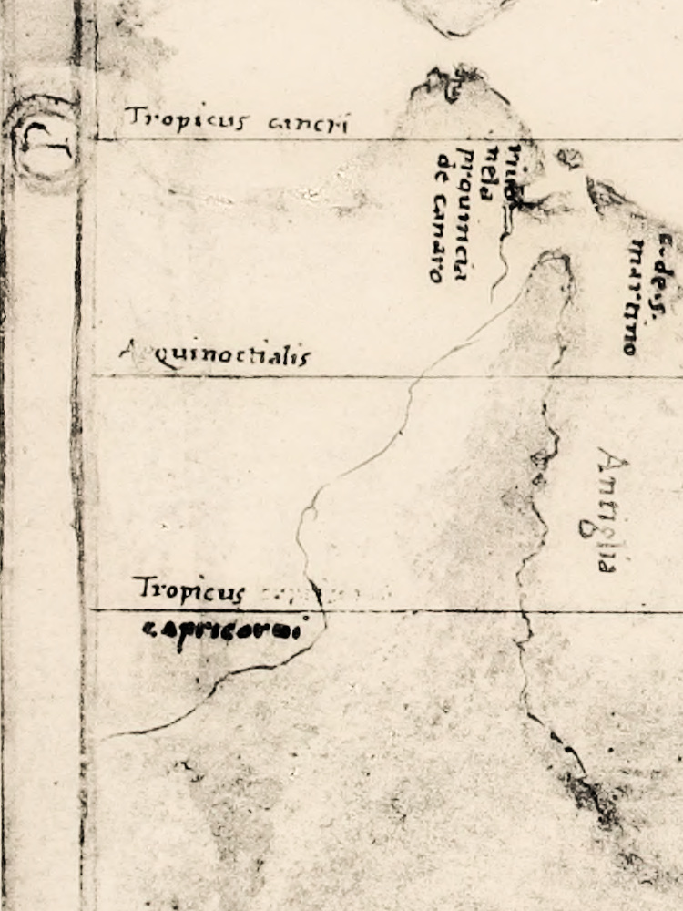
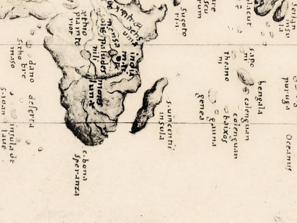
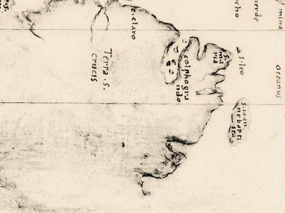
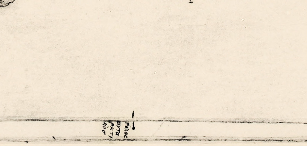
Read from the plate itself: a map of the whole world in a frame with a degree scale. Three parallels are named Tropicus cancri, Aequinoctialis and Tropicus capricorni, and the poles are labeled in Greek: πόλος ἀρκτικός at the top, πόλος ἀνταρκτικός at the bottom. The Old World reads EVROPA, ASIA, APHRICA, Arabia felix, Ethiopia, C. bona Speranza, s. Laurentii for Madagascar, Seilan and Chersonesus aurea. In the west stand Terra S. crucis, the early name for Brazil, cuba insula, Antiglia, Septem civitates and C. de Sto. Agostinho, with the terra de bacalaos in the northwest. The plate is a photograph, so there is no color.
Your file
| Original | manuscript atlas, British Library, Egerton MS 2803; plate 14 of the 1911 photographic facsimile |
| Scan | full sheet 3744 × 2792 px; the map inside the trimmed border 3640 × 2720 px |
| Print size at 300 dpi | the map prints to 30 cm (12 in), the full sheet with margins to 31 cm (12 in) |
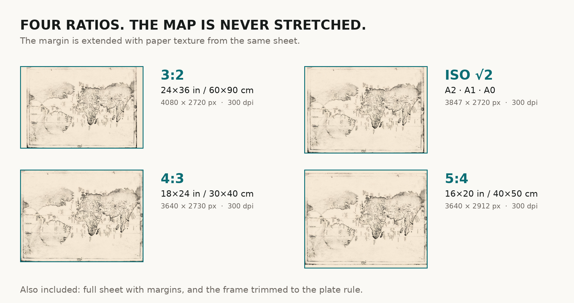
| You download | six ZIP archives: full sheet, trimmed, 3:2, 4:3, 5:4 and ISO A |
| Inside each one | one JPEG at 300 dpi, the restoration passport as a PDF, a READ ME |
How to print
- Pick the archive whose proportions match your frame; ask for matte fine-art paper in sRGB with auto-enhancement off.
- Where to print it: print shops near you and checked prices at online labs.
Source and rights
The file is made from Wikimedia Commons, Atlasofportolanc00magg_orig_0014.tif, plate 14 of the 1911 facsimile, which was published in the United States before 1930 and is in the public domain there. There is no TIFF master in the package. Catalogue record: Wikimedia Commons →
Features
- Latin
Attachments
Reviews
No reviews found
See also
-
 Antique World Map 1715 — Renard, Planisphere
-
Antique World Map 1708 — De la Feuille, Mapemonde Planisphere
-
Antique World Map c. 1690 — Morden & Berry, To Capt. John Wood
-
Old World Map — Mappemonde de Leipzig, Jomard's Monuments
-
Antique World Map c. 1807 — Arrowsmith, The World
-
Antique World Map 1740 — Seutter, Diversi Globi Terr-Aquei