Antique World Map 1579 — Ortelius, Typus Orbis Terrarum


Description
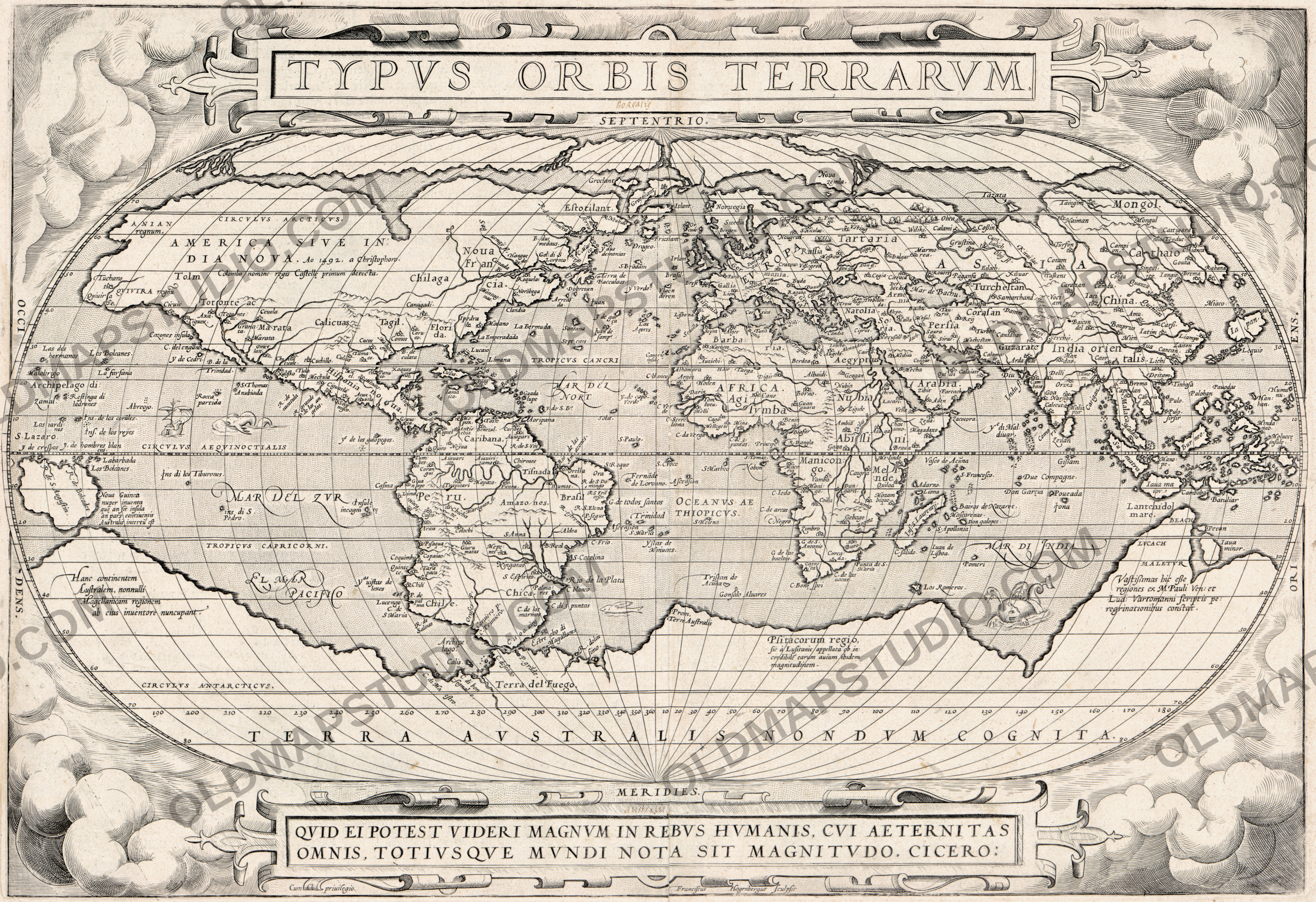
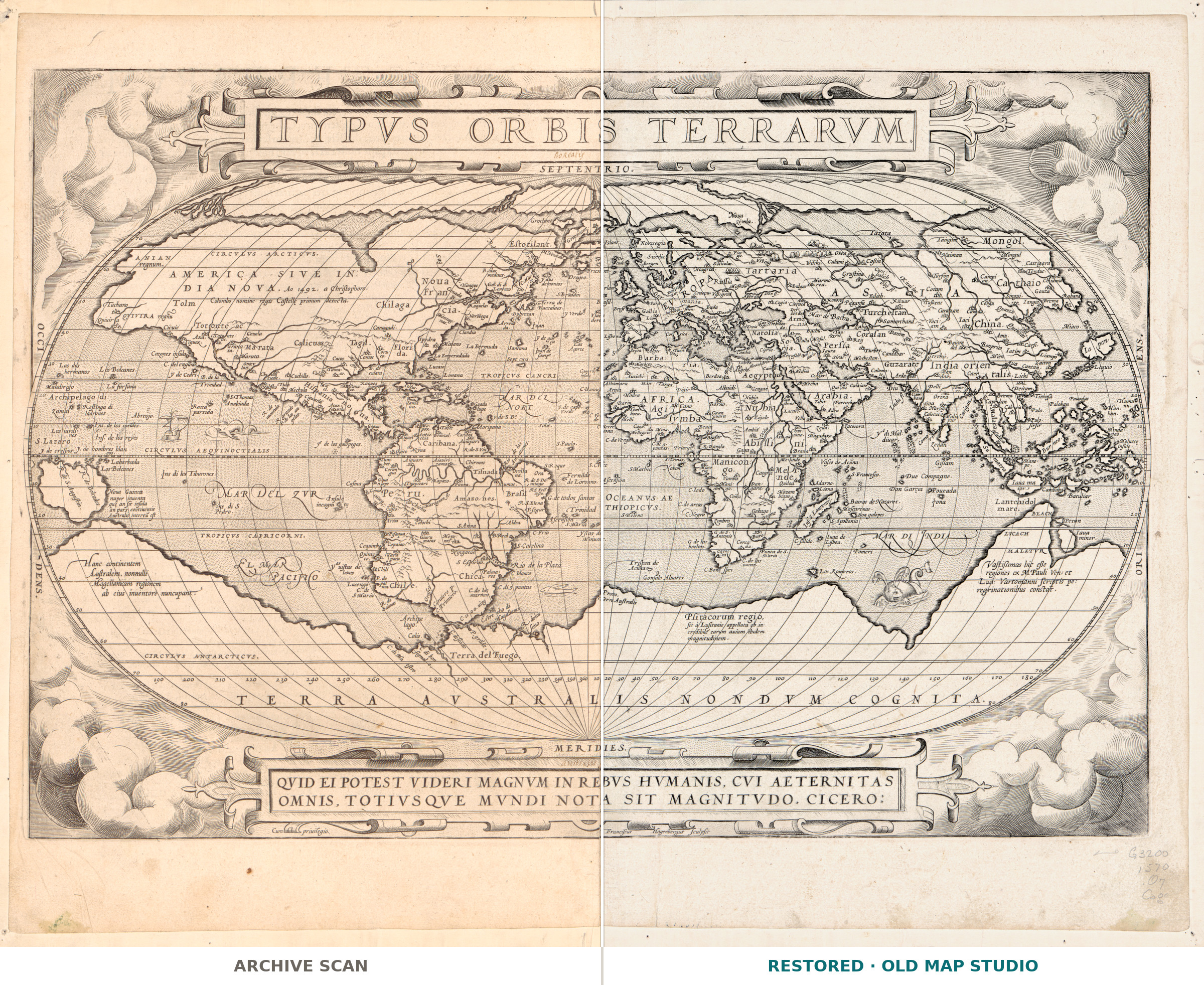
An old world map of 1579, the oval plate from Ortelius's Theatrum
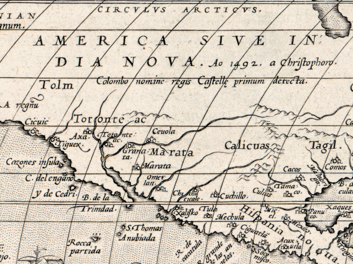
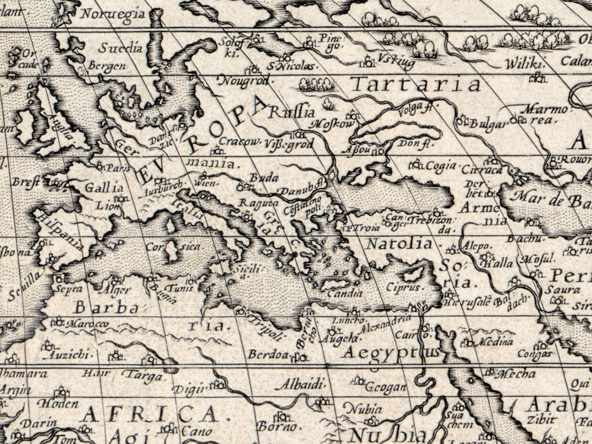
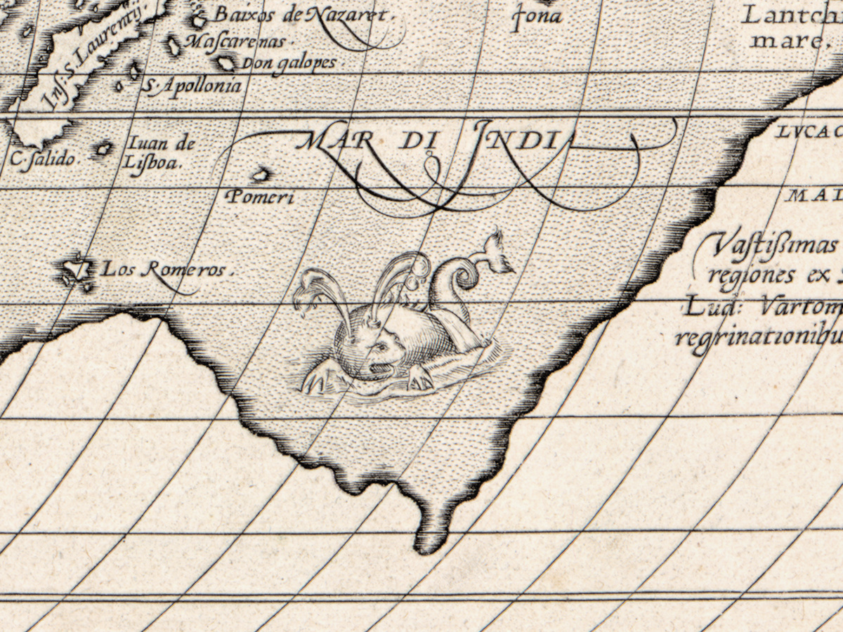
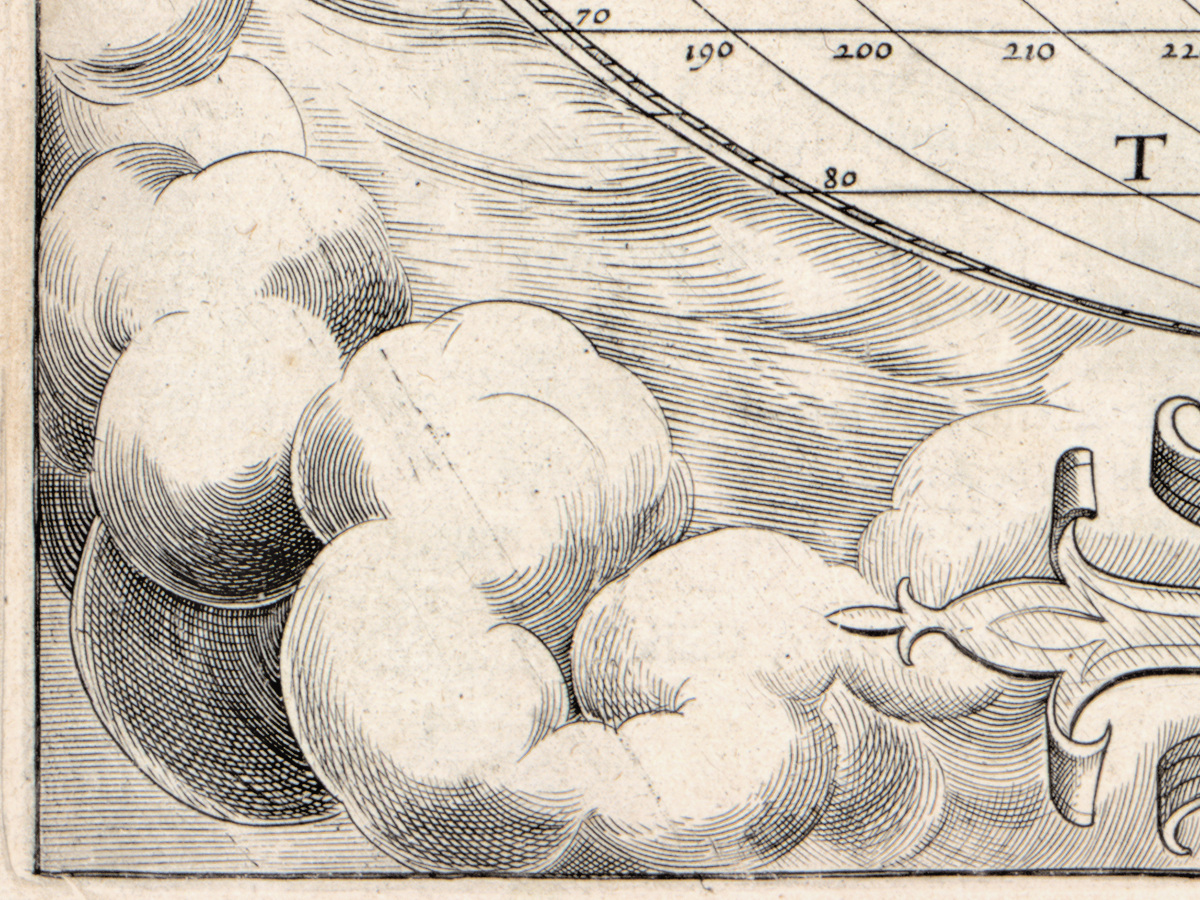
This is the world map that opened the Theatrum orbis terrarum, the atlas Abraham Ortelius first assembled in Antwerp and kept reissuing for the rest of his life. The Library of Congress record places this sheet in the Latin edition and dates it 1579 or later for a reason you can see on the plate itself: the copper had cracked, and the clouds in the lower left corner were cut again. A worn plate is normally a defect; here it is the evidence of which printing you have.
What is on the sheet
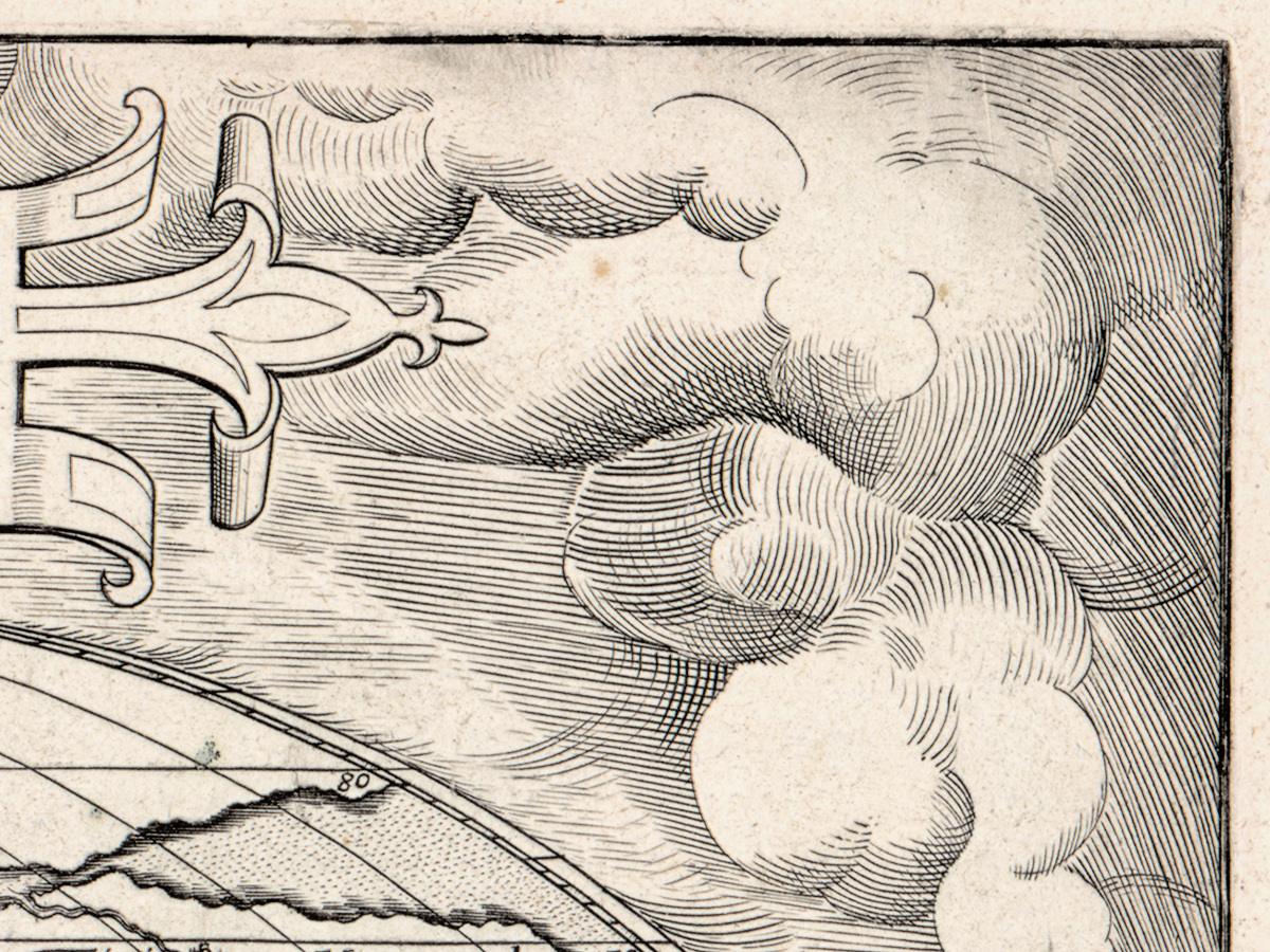
The map is an oval, 25 by 50 cm, and the oval sits inside an illustrated border of clouds — the frame is part of the engraving, not a later addition. Around it the paper runs out to 41 by 53 cm. The plate was cut by Frans Hogenberg, the Antwerp engraver who worked on the atlas and is named in the catalogue record alongside Ortelius. All lettering on the face is Latin. On the back there is Latin text with a privilege statement in the lower left: map on one side, the page of the book on the other.
Ortelius, and what the record does and does not say
Abraham Ortelius (1527–1598) sold maps and antiquities in Antwerp before he published this atlas. The record for this sheet is short and we keep to it: it gives the Latin edition, the oval within the cloud border, the Latin text on the verso, the crack and the re-engraved clouds. It does not name the printing technique, it does not say whether the sheet was colored, and it does not give the year of the atlas volume. Where the record is silent, this page is silent too.
Your file
| Original | Abraham Ortelius, Antwerp, 1579; plate engraved by Frans Hogenberg |
| Sheet | map 25 × 50 cm, sheet 41 × 53 cm |
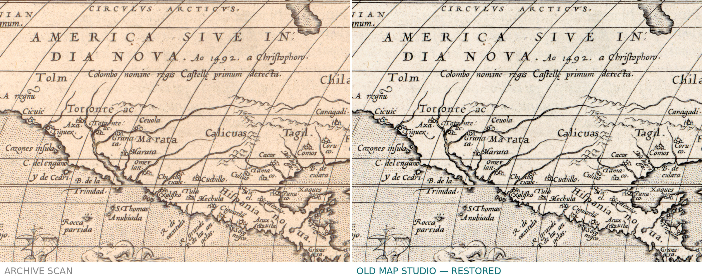
| Scan | full sheet 6278 × 4937 px; the map inside the plate border 5904 × 4045 px. From the library's own scan, not an upscale |
| Print size at 300 dpi | the map prints to 49 cm (19 in), the full sheet with margins to 53 cm (20 in) |
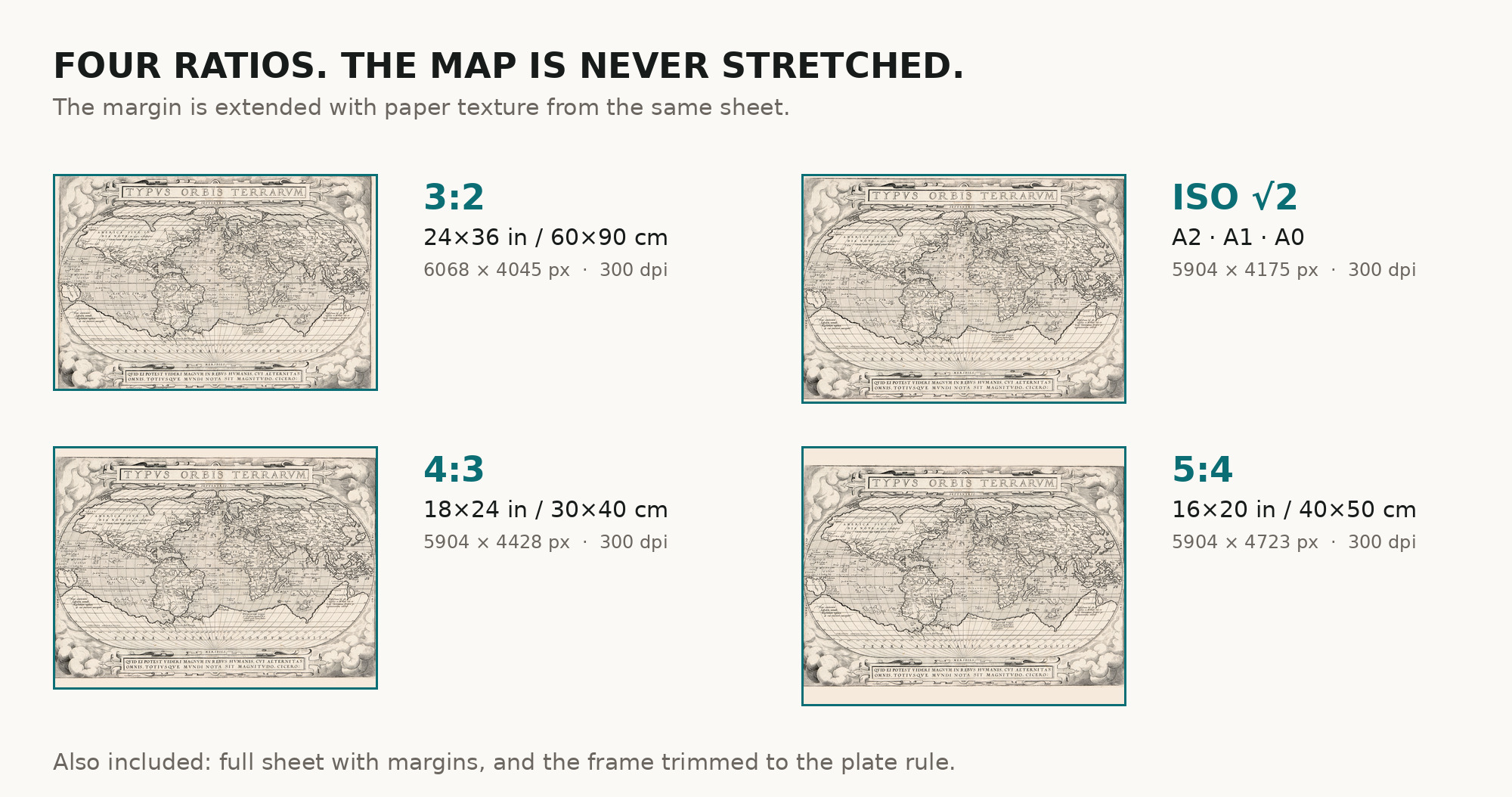
| You download | six ZIP archives: full sheet, trimmed, 3:2, 4:3, 5:4 and ISO A |
| Inside each one | one JPEG at 300 dpi, the restoration passport as a PDF, a READ ME |
How to print
- Pick the archive whose proportions match your frame, so nothing is cropped or stretched.
- An oval inside a rectangle wants a wide mat — leave room on the short sides.
- Ask for matte fine-art paper, printed in sRGB with auto-enhancement off.
- Where to print it: print shops near you and checked prices at online labs.
Source and rights
Library of Congress, Geography and Map Division, call number G3200 1579 .O7, LCCN 2017585794. The Library states that the content is free to use and reuse and asks to be credited as Library of Congress, Geography and Map Division. The record also notes that the Library's copy is mounted on cloth. Catalogue record: Library of Congress →
Questions
What exactly do I get after payment?
Six ZIP archives, each with one JPEG at 300 dpi, the restoration passport as a PDF and a READ ME. There is no TIFF master in the package.
How large can I print it?
Two numbers, because you get two files. The map, cut to the plate border, prints to 49 cm (19 in) on the long side. The full sheet with its margins prints to 53 cm (20 in).
Why 1579 and not 1570?
The catalogue record dates this state to 1579 or later because of the crack in the copper and the re-engraved clouds in the lower left corner.
Is the coloring original?
The record says nothing about coloring, so we claim nothing either. We add no color of our own.
Features
- Latin
Attachments
Reviews
No reviews found
See also
-
 Antique World Map 1740 — Seutter, Diversi Globi Terr-Aquei
-
Antique World Map 1794 — Dunn, A New Map of the World
-
Old World Map — Mappemonde de Leipzig, Jomard's Monuments
-
Antique World Map 1680 — Sanson, A Mapp of All the World
-
Antique World Map 1708 — De la Feuille, Mapemonde Planisphere
-
Antique World Map 1706 — Moll, A New Map of the World