Old World Map 1570 — Ortelius, Typus Orbis Terrarum, Colored


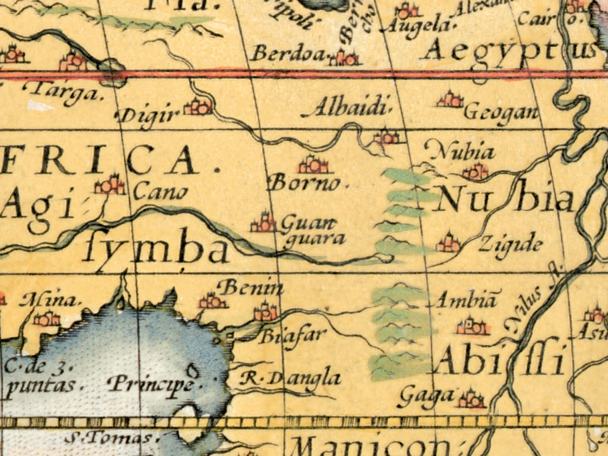
Description
An old world map from Ortelius’s Theatrum orbis terrarum, Antwerp 1570, in a colored copy
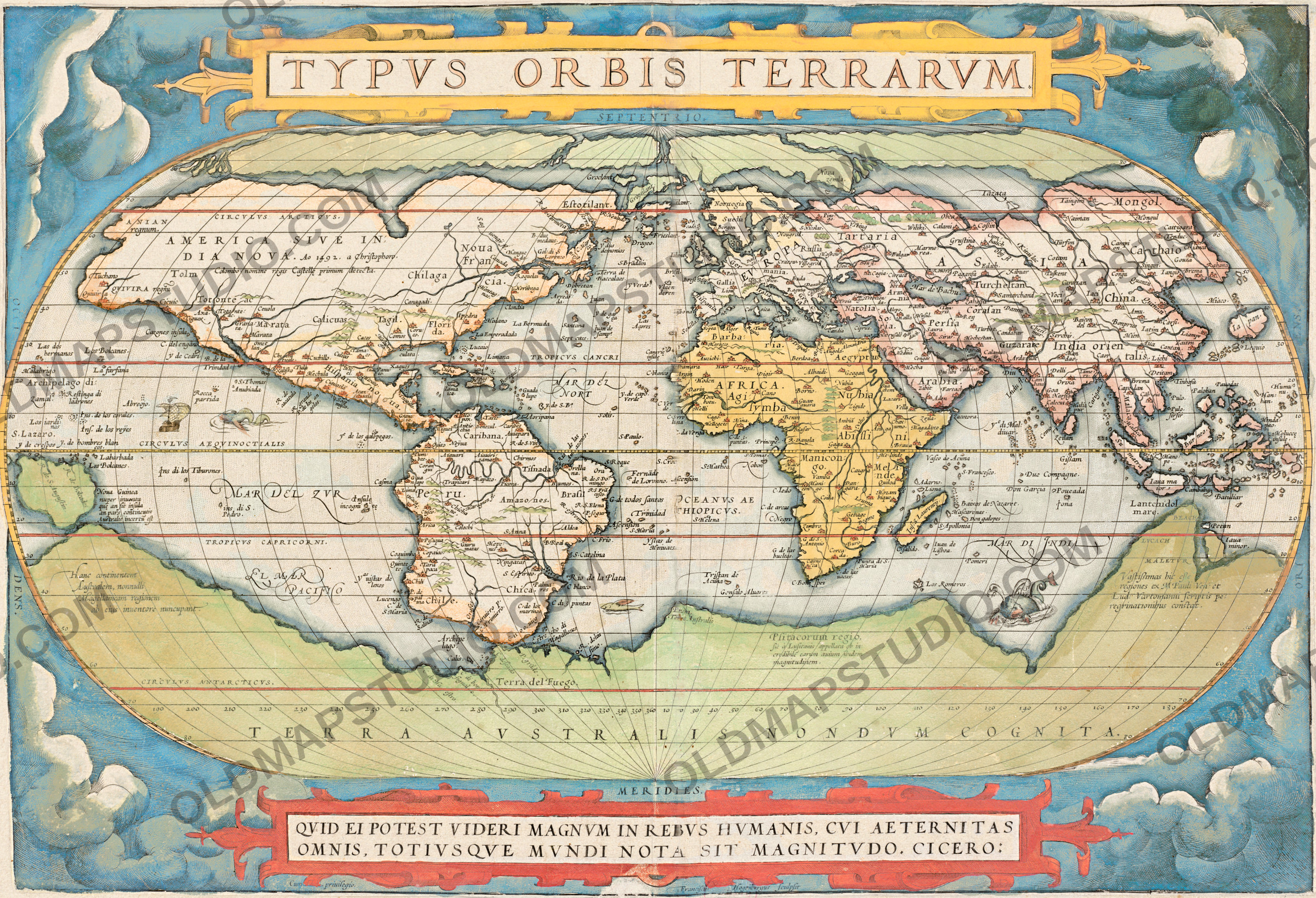
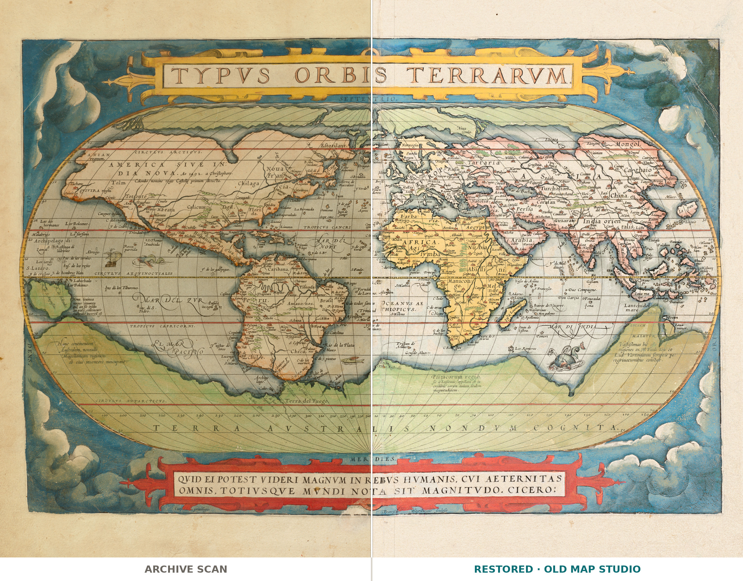
Typus orbis terrarum is the world map of Abraham Ortelius’s Theatrum orbis terrarum, published in Antwerp in 1570. The Boston Public Library’s Norman B. Leventhal Map & Education Center keeps this copy as a colored sheet of 46 × 64 cm, with relief shown pictorially, and quotes in its notes a line of Cicero: “Quid ei potest videri magnum in rebus humanis, cui aeternitas omnis, totius que mundi nota sit magnitudo” (the record’s transcription reads “magmitudo”). What can seem great in human affairs to one who knows all eternity and the size of the whole world?

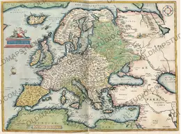
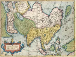
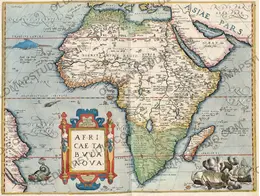
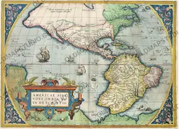
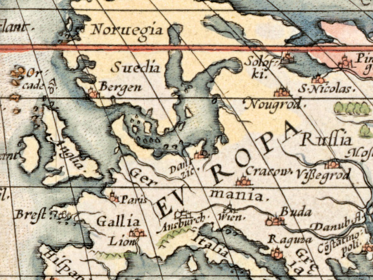
The library’s description calls the Theatrum the first modern world atlas: for the first time a set of maps, current at the date of publication, was designed, drawn and engraved to be published together in one bound volume. Ortelius did not call it an atlas. His title, “Theater of the World”, suggested both that the whole known world could be viewed in one book and that the Earth was a stage on which human actions unfolded. Most of its maps show European countries and provinces, but it also includes this map of the world, as well as one map for each of the four continents.
Abraham Ortelius (1527–1598) was born and died in Antwerp. Britannica describes him as trained as an engraver and setting up a book and antiquary business about 1554; about 1560, under the influence of Gerardus Mercator, he became interested in mapmaking. Stanford Libraries’ catalog of another 1570 copy of the atlas explains what was new: it was “the first undertaking of its kind to reduce the best available maps to a uniform format”, and Ortelius named the mapmakers whose work he used.
For the world map he turned to Mercator himself. The Boston description says it was based on Mercator’s large world map published the year before, in 1569, and that it showed almost a century of European exploration in the Americas, with fairly accurate coasts near the Equator and strongly distorted shapes in southern South America and in northern and western North America.
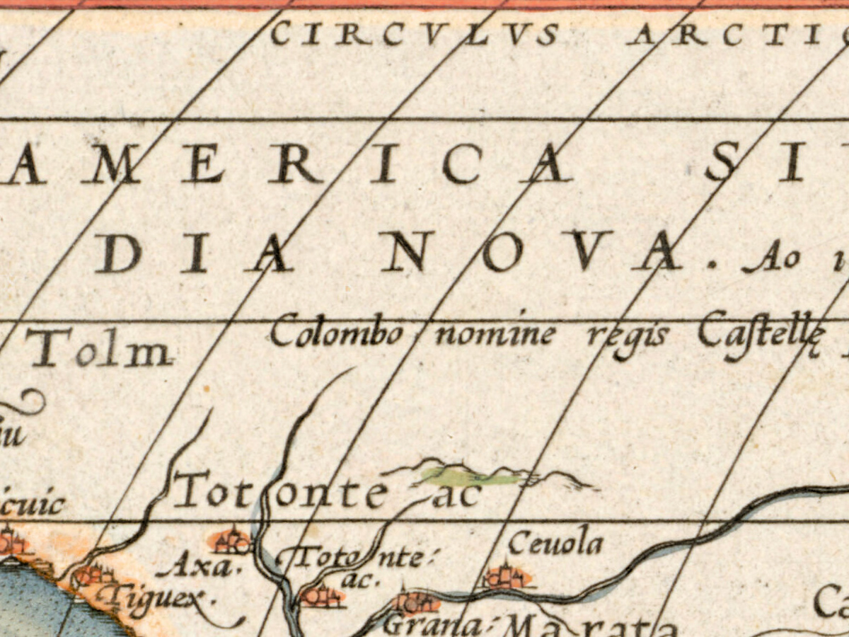
![Across North America: AMERICA SIVE INDIA NOVA. Ao 1492. a Christophoro. Colombo nomine regis Castellę primum detecta. [America or the New India, first discovered in 1492 by Christopher Columbus in the name of the King of Castile]](/images/story/ortelius-1570-colored-america-columbus-1492.jpg)
What to look for on the sheet
- The southern polar continent, which the library says the map showed “prematurely”, since the southern oceans had not yet been explored.
- The coasts of the Americas: relatively accurate in the equatorial areas, greatly distorted in southern South America and in northern and western North America.
- Relief shown pictorially, as the library record notes.
- The Cicero motto quoted in the library’s record.
- The names “Catayo” and “China”, which the University of Vienna’s China bibliography notes on another copy of this map.
![On the great southern continent: Psitacorum regio [the region of parrots], with a note that the Portuguese gave it this name for the incredible size of the birds there](/images/story/ortelius-1570-colored-psitacorum-regio-parrots.jpg)
Britannica notes that in 1575 he was appointed geographer to Philip II of Spain. The Boston description counts 33 editions in the 41 years after 1570 and translations into German, Dutch, French, Spanish, Italian and English, and dates from its success the golden age of Flemish and Dutch cartography; Stanford’s catalog, citing Van der Krogt, counts 37 editions, the last in 1641. The Boston Public Library showed this sheet in “Journeys of the Imagination” (2006), and the Leventhal Map Center included it in “Shakespeare’s Here and Everywhere” (2016–2017).
Everything on this sheet: full record
Every inscription on the sheet
All lettering on the sheet is engraved: the title and the Cicero motto in roman capitals, the circles, continents and some seas in spaced capitals, place names in roman or italic lower case, and the longer notes in italic. Inscriptions are given letter for letter, with V for U where the sheet has it; the long s is written as s. Translations are in square brackets. Inside the oval only the circles, the continents, the oceans and the longer notes are listed here, not the several hundred small place names.
- Top cartouche: TYPVS ORBIS TERRARVM. [picture of the world]. Just below it, on the band above the oval: SEPTENTRIO. [north].
- Bottom cartouche: QVID EI POTEST VIDERI MAGNVM IN REBVS HVMANIS, CVI AETERNITAS OMNIS, TOTIVSQVE MVNDI NOTA SIT MAGNITVDO. CICERO: [what can seem great in human affairs to one who knows all eternity and the size of the whole world? Cicero]. Above it: MERIDIES. [south]. The word AETERNITAS stands whole at the end of the first line.
- Below the bottom cartouche, small italic: at the left Cum … priuilegio. [with privilege], the two words separated by a scroll of the frame; at the right Franciscus Hogenbergus sculpsit [Frans Hogenberg engraved it]. No date stands beside the engraver’s line.
- On the side bands, split by the oval: at the left OCCI … DENS. [west], reading downward; at the right ORI … ENS. [east], reading upward.
- The circles, lettered along their lines: CIRCVLVS ARCTICVS., TROPICVS CANCRI, CIRCVLVS AEQVINOCTIALIS, TROPICVS CAPRICORNI,, CIRCVLVS ANTARCTICVS. Longitudes run along the bottom of the oval from 190 at the left through 360 to 180 at the right; latitudes are numbered in tens along both sides of the oval.
- Continents: AMERICA SIVE IN|DIA NOVA. Ao 1492. a Christophoro. Colombo nomine regis Castellę primum detecta. [America or the New India, first discovered in 1492 by Christopher Columbus in the name of the King of Castile]; EV … ROPA, split by Germany; A S I A spread across the continent; AFRICA.; and along the south, the widest name on the sheet, TERRA AVSTRALIS NONDVM COGNITA. [the southern land, not yet known].
- Seas: MAR DEL ZVR and, further south, EL MAR PACIFICO in the Pacific; MAR DEL NORT in the North Atlantic; OCEANVS AETHIOPICVS. in the South Atlantic, lettered in two lines as OCEANVS AE | THIOPICVS.; MAR DI INDI in the Indian Ocean; Lantchidol mare. south of Java.
- Note at New Guinea, in the far west of the oval: Noua Guinea nuper inuenta quę an sit insula an pars continentis Australis incertũ est [New Guinea, recently found; whether it is an island or part of the southern continent is uncertain].
- Note in the southern continent below the South Pacific, at the far west of the oval: Hanc continentem Australem, nonnulli Magellanicam regionem ab eius inuentore nuncupant. [this southern continent some call the Magellanic region, after its discoverer].
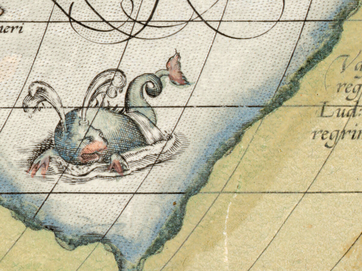
- Note in the southern continent south of Africa, near Prom. Terre Australis [the cape of the southern land]: Psitacorum regio, sic á Lusitanis appellata ob incredibilẽ earum auium ibidem magnitudinem. [the region of parrots, so called by the Portuguese for the incredible size of these birds there].
- Note in the southern continent below Java, next to BEACH, LVCACH and MALETVR: Vastissimas hic esse regiones ex M Pauli Ven: et Lud: Vartomanni scriptis peregrinationibus constat. [that there are very vast regions here is clear from the written travels of Marco Polo the Venetian and Ludovico di Varthema].
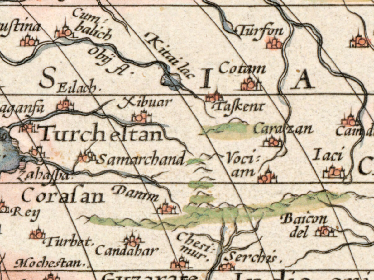
- Above the North American coast: ANIAN regnum. [the kingdom of Anian]; in the far north Groclant, Groenlant, Estotilant., Frieslant. and Noua zemla.; in East Asia Mongol., Cathaio, China., and the island Iapan..
Discrepancies on the sheet itself: Los Bolcanes appears twice in the Pacific, once north of the Tropic of Cancer and once just south of the Equator near New Guinea. The name of America breaks after IN, so the first line reads AMERICA SIVE IN. The Boston record transcribes the motto as “totius que … magmitudo”; the sheet has TOTIVSQVE and MAGNITVDO.
Editions and other known copies
- Boston Public Library, Norman B. Leventhal Map & Education Center, G1006 .T54 1570 (this copy): “Antwerp : A. Ortelius”, “1 map : col. ; 46 x 64 cm”, “Scale not given”, “Appears in the author’s Theatrum orbis terrarum. Antverpiae. 1570.” The record links the library’s 1570 atlas as scanned by Internet Archive; it does not say whether this sheet is bound in that volume.
- Library of Congress, atlas G1006 .T5 1570b: Antwerp, 1570, with the colophon of Coppenius Diesth, 53 maps colored by hand, 45 cm; cited as Koeman Ort 1.
- David Rumsey Map Collection, Stanford: atlas of 1570 with the Coppenius colophon, 53 maps, not colored, 42 × 30 cm; cited as Van der Krogt 31:001B (colophon 31:001C).
- Qatar National Library, HC.MAP.00004: dated [1571], colored by hand, map 25 × 49 cm on a sheet 43 × 57 cm, Dutch text on the back; the record calls it “First state, either the first or second Dutch printing (1571 or 1573)”.
- Northeastern University Library, Arader collection, american_ortelius_002: Typvs Orbis Terrarvm, 1570; the record gives no size, coloring or state.
- Marcel van den Broecke (Ort 1) dates this plate from 1570 and writes that it was replaced from 1586 by a second plate (Ort 2), followed by a third, dated 1587 (Ort 3). He separates the plates by the motto: on the second plate AETER:|NITAS is broken over two lines, “whereas it is unbroken on plate Ort 1”. Within the first plate he lists six states, among them a mended crack in the lower left corner (1.3, 1575) and the date 1584, later 1585, added beside the engraver’s name (1.5, 1.6). The Boston record names no state.
Catalog entries and sources
Boston Public Library: call number G1006 .T54 1570; identifier 05_01_000247; barcode 30000002782909; permalink ark:/50959/x633f946s. Van den Broecke, Ortelius Atlas Maps: Ort 1 (Koeman/Meurer 1; Karrow 1/6; van der Krogt AN 0001:31A), with Shirley (1993) map 122; plate 337 × 493 mm. Van den Broecke gives the motto as Cicero, Tusculan Disputations 4.37.
Sources for the story and this record: the Boston Public Library and Digital Commonwealth records of this sheet; Marcel van den Broecke, Ortelius Atlas Maps; the Stanford Libraries record of the 1570 atlas; the Library of Congress record of the 1570 atlas; the Qatar National Library record; the Northeastern University Library record; Encyclopaedia Britannica on Abraham Ortelius.
This copy
- Colored by hand throughout: the corners and side bands blue with white clouds, the title cartouche yellow, the bottom cartouche red, the tropics and polar circles drawn over in red; Africa yellow, parts of Asia and the East Indies pink, the southern continent and the Arctic lands green, the Americas pale with orange coasts.
- The whole engraved frame is on the sheet, with a margin of bare paper on all four sides.
- A vertical center fold runs through the middle of the sheet, through the title across the S of ORBIS and down through the Atlantic; along it a narrow strip is lighter and the first letter of OCEANVS is partly lost.
- In the lower left corner of the frame no crack and no repair marks can be seen on the scan.
- Below the engraver’s line, on the paper, there are faint pink marks that cannot be read; small brown spots lie in the margins.
Your file
| Original | Abraham Ortelius, Antwerp, 1570, from the Theatrum orbis terrarum; Boston Public Library, Leventhal Map & Education Center, G1006 .T54 1570; colored sheet 46 × 64 cm |
| Scan | full sheet 10880 × 8160 px; the map inside the trimmed border 10300 × 7030 px |
| Print size at 300 dpi | the map prints to 87 cm (34 in), the full sheet with margins to 92 cm (36 in) |
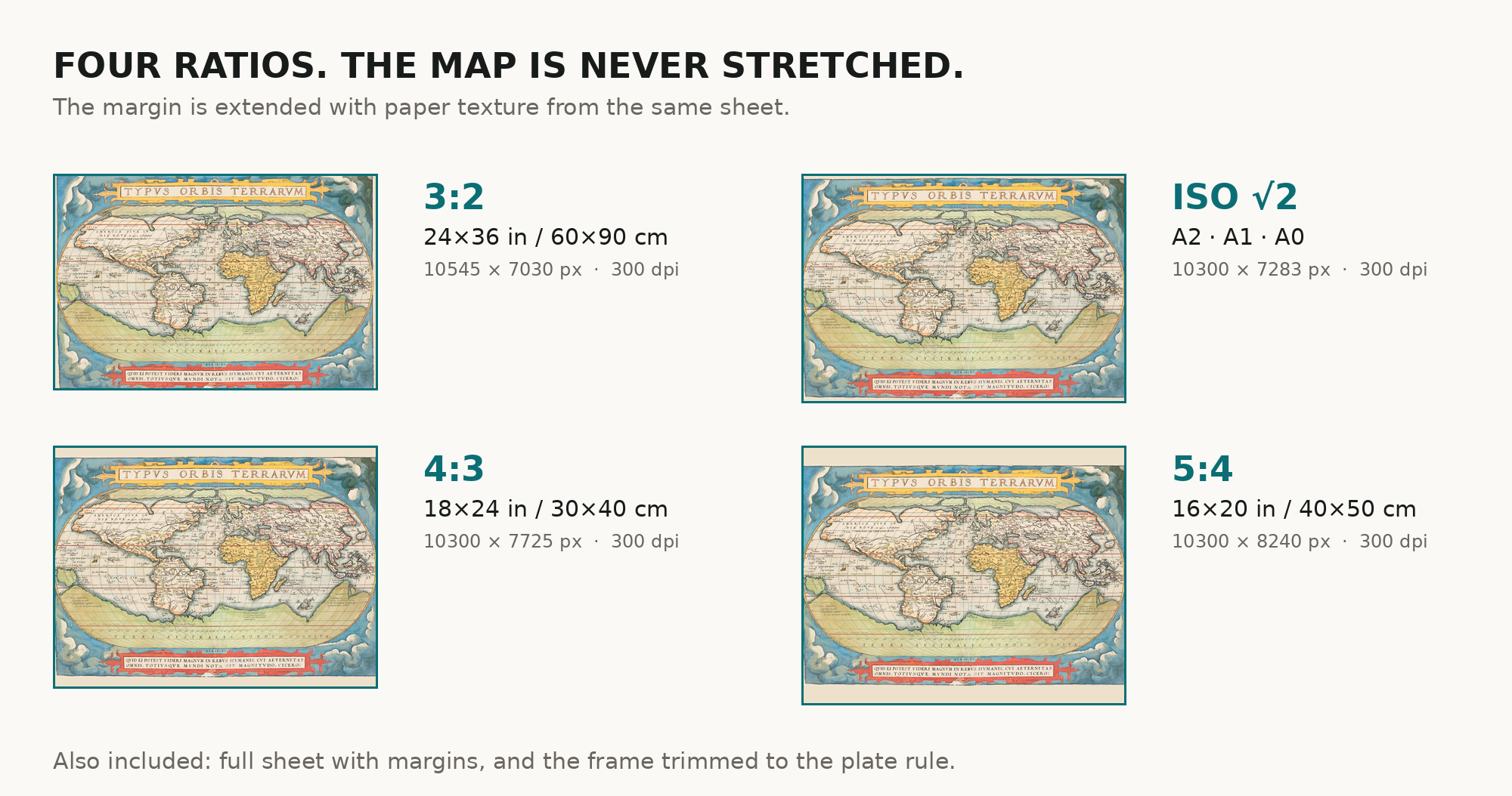
| You download | six ZIP archives: full sheet, trimmed, 3:2, 4:3, 5:4 and ISO A |
| Inside each one | one JPEG at 300 dpi, the restoration passport as a PDF, a READ ME |
How to print
- Print at 300 dpi at the size above and do not let the shop scale the file up.
- Pick the archive whose proportions match your frame, so nothing is cropped or stretched.
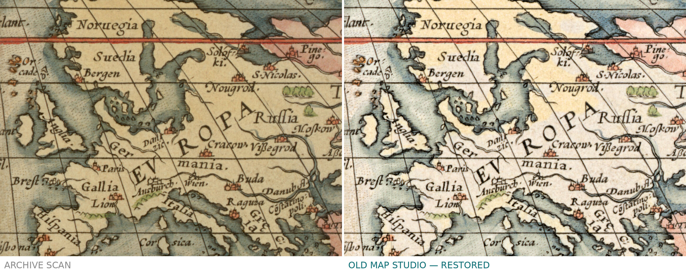
- Ask for matte fine-art paper, sRGB, auto-enhancement off. The coloring was kept in restoration, not repainted.
- Where to print it: print shops near you and checked prices at online labs.
Source and rights
The file is made from the digitized image published by the Boston Public Library, Norman B. Leventhal Map & Education Center, call number G1006 .T54 1570 (the record notes that the atlas was scanned by Internet Archive), with the statement “No known copyright restrictions. No known restrictions on use.” The record gives Antwerp, 1570, and describes the sheet as colored (“col.”), but names neither the method of coloring nor the printing technique. There is no TIFF master in the package. Catalogue record: Leventhal Map & Education Center →
Questions
What exactly do I get after payment?
Six ZIP archives, each with one JPEG at 300 dpi, the restoration passport as a PDF and a READ ME. There is no TIFF master in the package.
How large can I print it?
The map to 87 cm (34 in) on the long side at 300 dpi, the full sheet with margins to 92 cm (36 in), from the scan’s own resolution, not an upscale.
Is the coloring original?
The library record describes the sheet as colored. It does not say when or by whom it was colored, and we do not guess. We kept the color as scanned and did not add any.
Why do the edition counts differ?
They come from two catalogs. The Boston Public Library counts 33 editions in 41 years; Stanford Libraries, citing Van der Krogt, counts 37, the last in 1641. We quote both.
Features
- Latin
Attachments
Reviews
No reviews found