Antique Map of America 1570 — Ortelius, Americae sive Novi Orbis
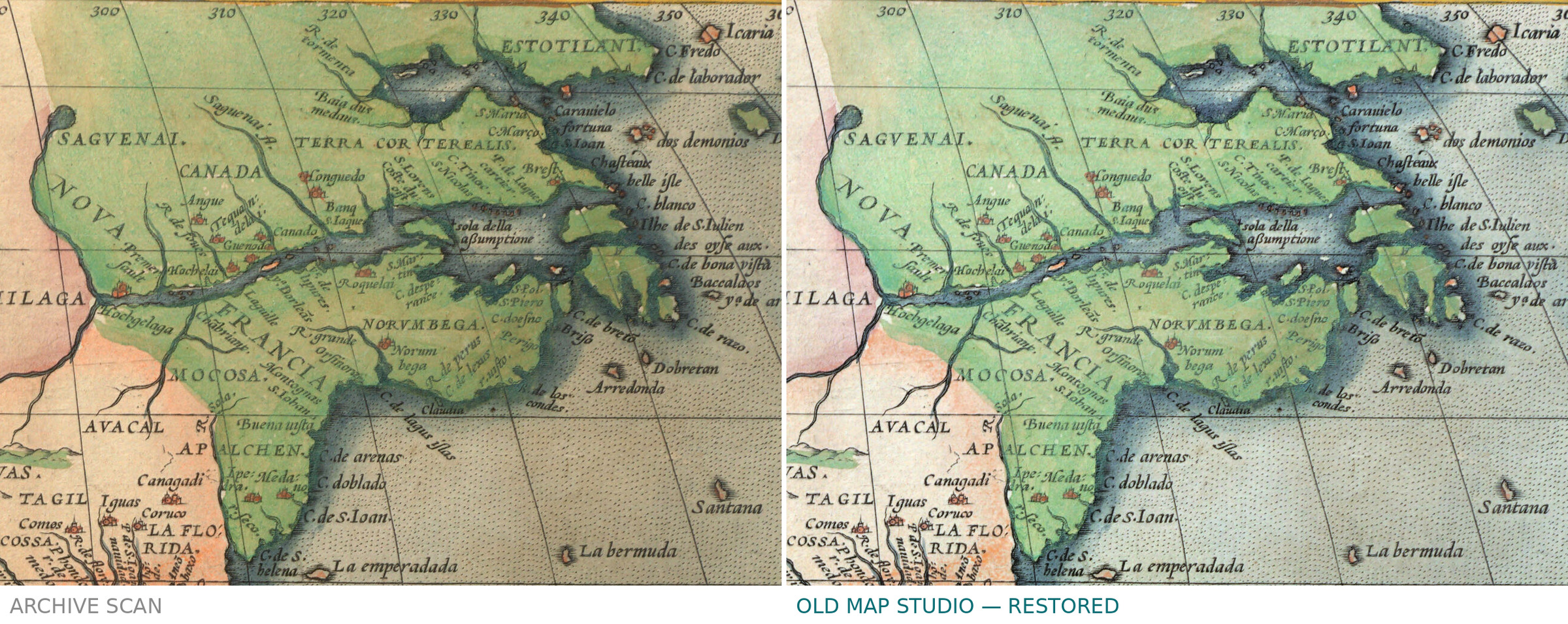
Description
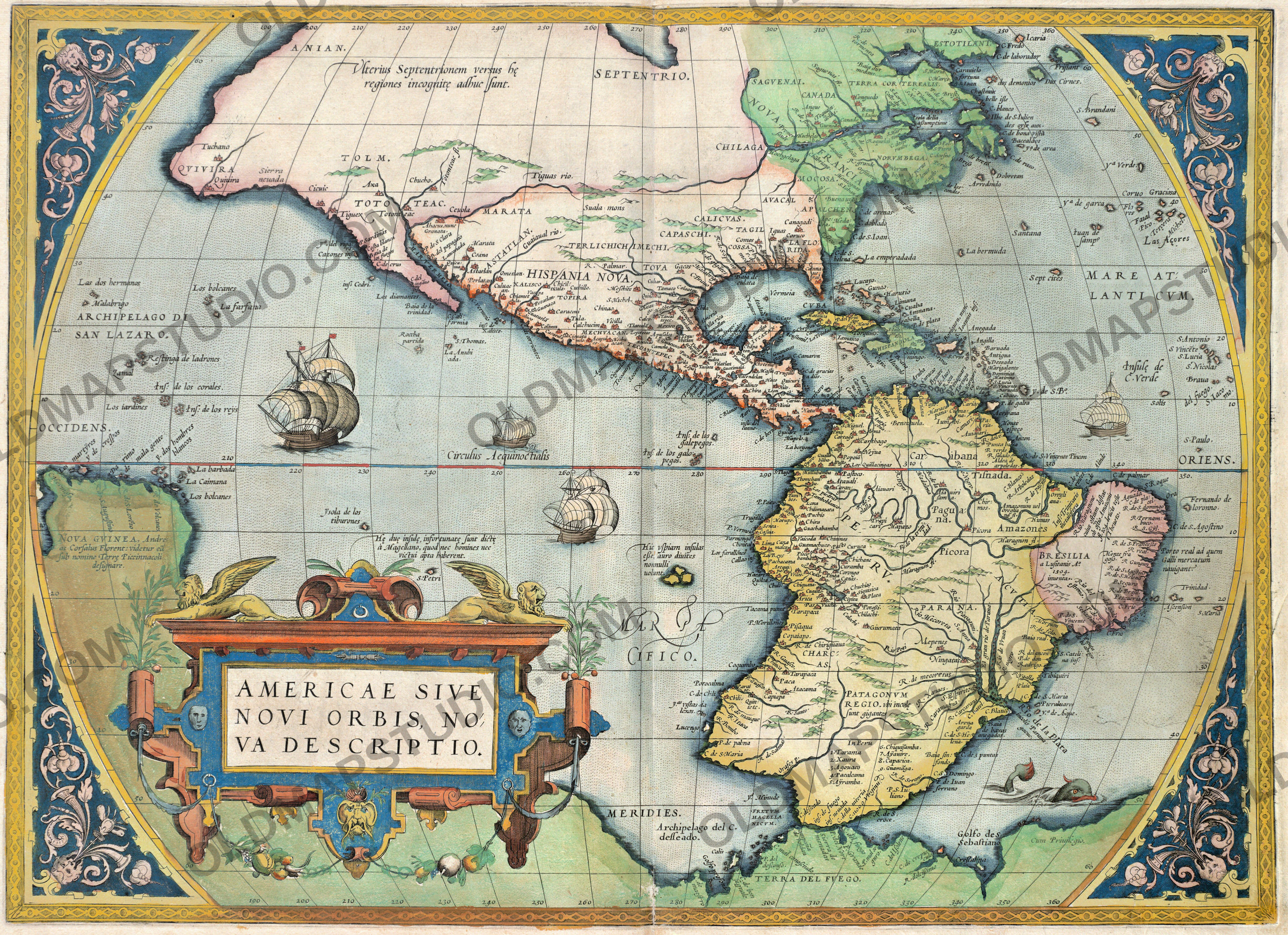
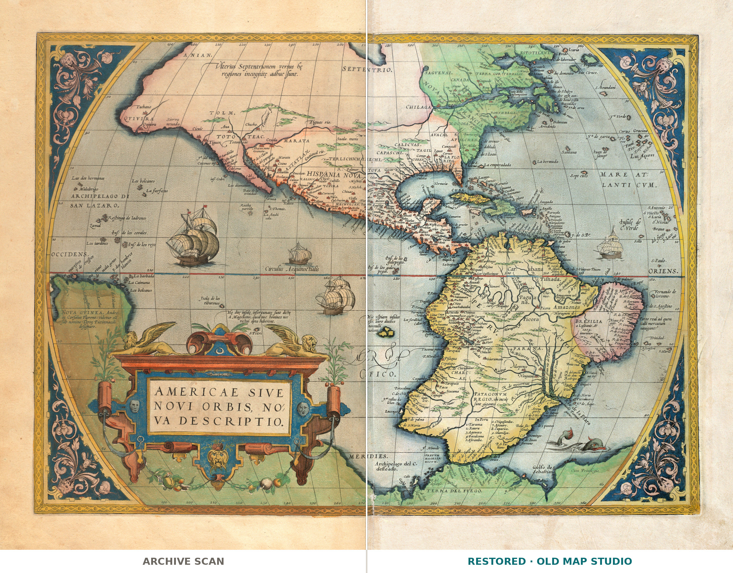
An antique hand-colored map of America from Ortelius’s atlas, Antwerp 1570
This map of the New World, Americae siue noui orbis, noua descriptio, appeared in 1570 in Abraham Ortelius’s Theatrum orbis terrarum, published in Antwerp “apud Ægid Coppenium Diesth”, that is, Gielis Coppens van Diest. The Boston Public Library’s Norman B. Leventhal Map & Education Center describes its copy as hand colored, 36 × 49 cm, with a Latin text on the back. The record does not say who applied the color or when.
What to look for on the sheet
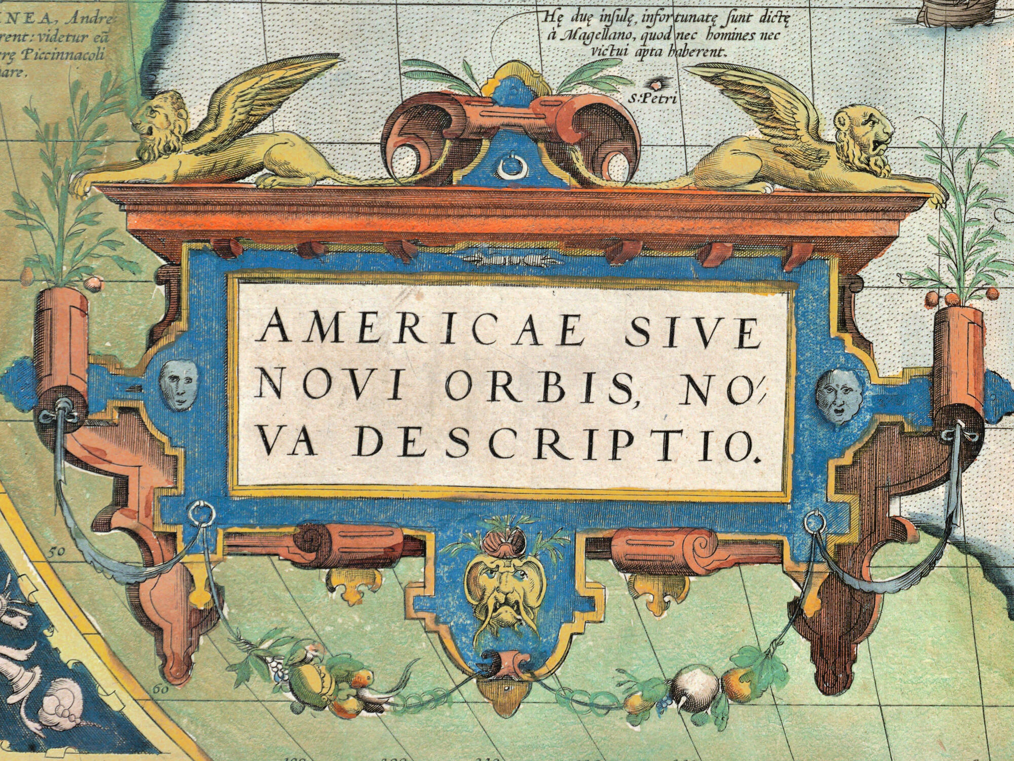
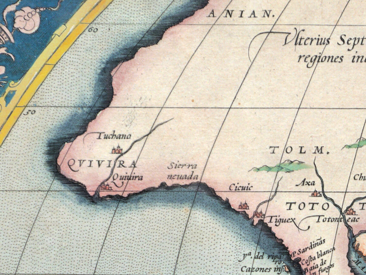
- The decorative corners and the title cartouche.
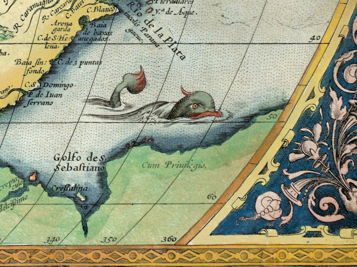
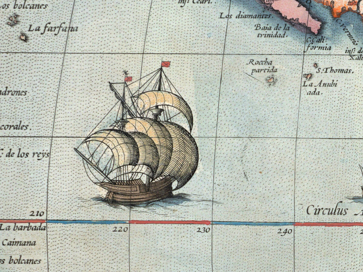
- Illustrations of fish and ships.
- The privilege notice “Cum privilegio”.
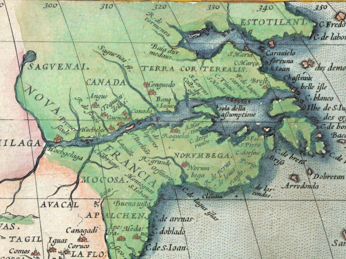
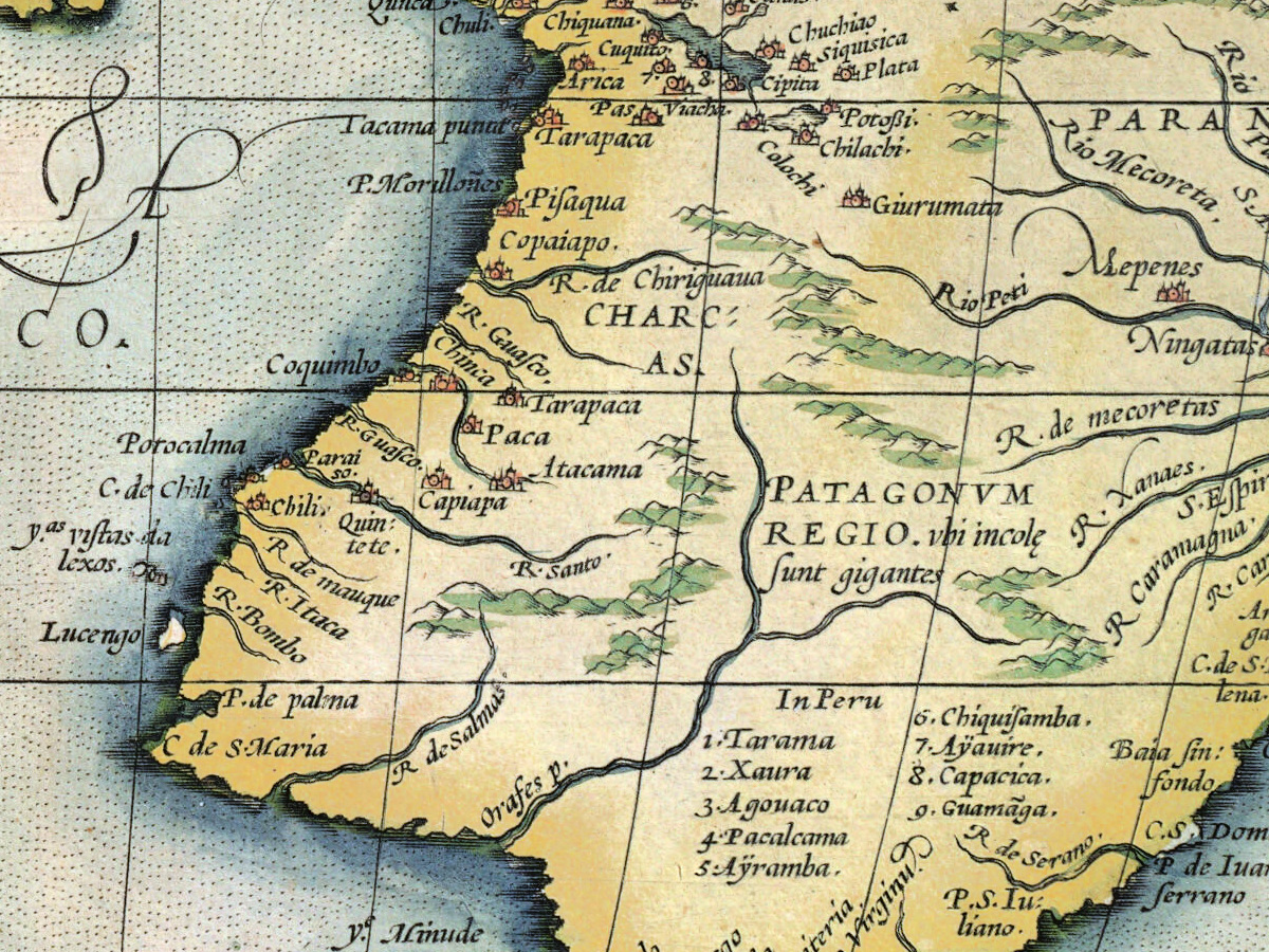
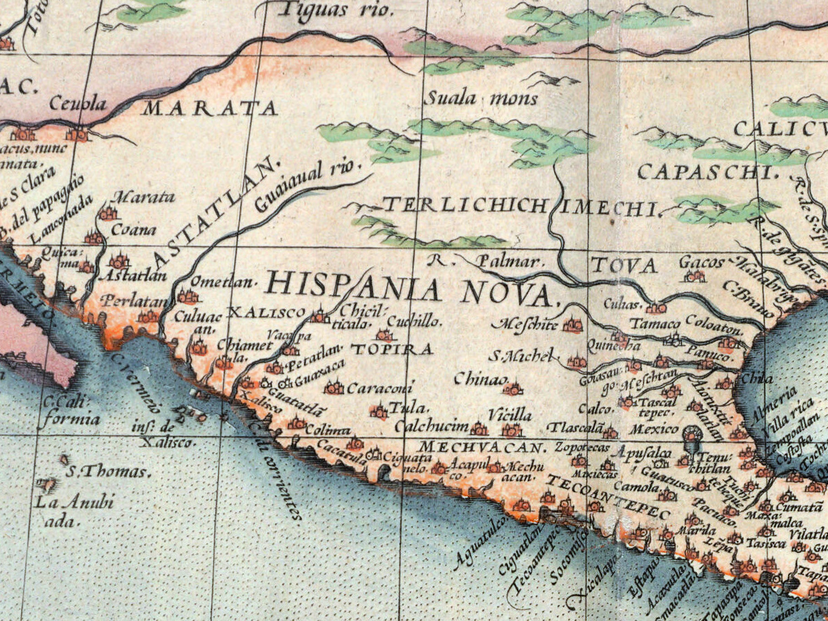
- Relief shown pictorially.
Abraham Ortelius (1527–1598) was born and died in Antwerp. Britannica describes him as trained as an engraver and setting up a book and antiquary business about 1554; the History of Cartography records that he started out as an “afsetter van carten”, an illuminator of maps. About 1560, under the influence of Gerardus Mercator, he became interested in mapmaking.
The Leventhal Center calls the Theatrum orbis terrarum “the first modern world atlas”. Stanford Libraries’ catalog of another 1570 copy explains what was new: it was “the first undertaking of its kind to reduce the best available maps to a uniform format”, and Ortelius named the mapmakers whose work he used. Stanford’s copy has 53 maps; its catalog credits nearly all the plates to the engraver Frans Hogenberg and his assistants.
The atlas outlived its author: Stanford’s catalog, citing Van der Krogt, lists 37 editions in Latin, German, French, Dutch, Spanish, English and Italian, the last in 1641. Britannica notes that in 1575 Ortelius was appointed geographer to Philip II of Spain.
Your file
| Original | Antwerp, 1570, Boston Public Library, Leventhal Map & Education Center, G1006 .T54 1570; hand-colored sheet 36 × 49 cm |
| Scan | full sheet 5665 × 4250 px; the map inside the trimmed border 5218 × 3790 px |
| Print size at 300 dpi | the map prints to 44 cm (17 in), the full sheet with margins to 47 cm (19 in) |
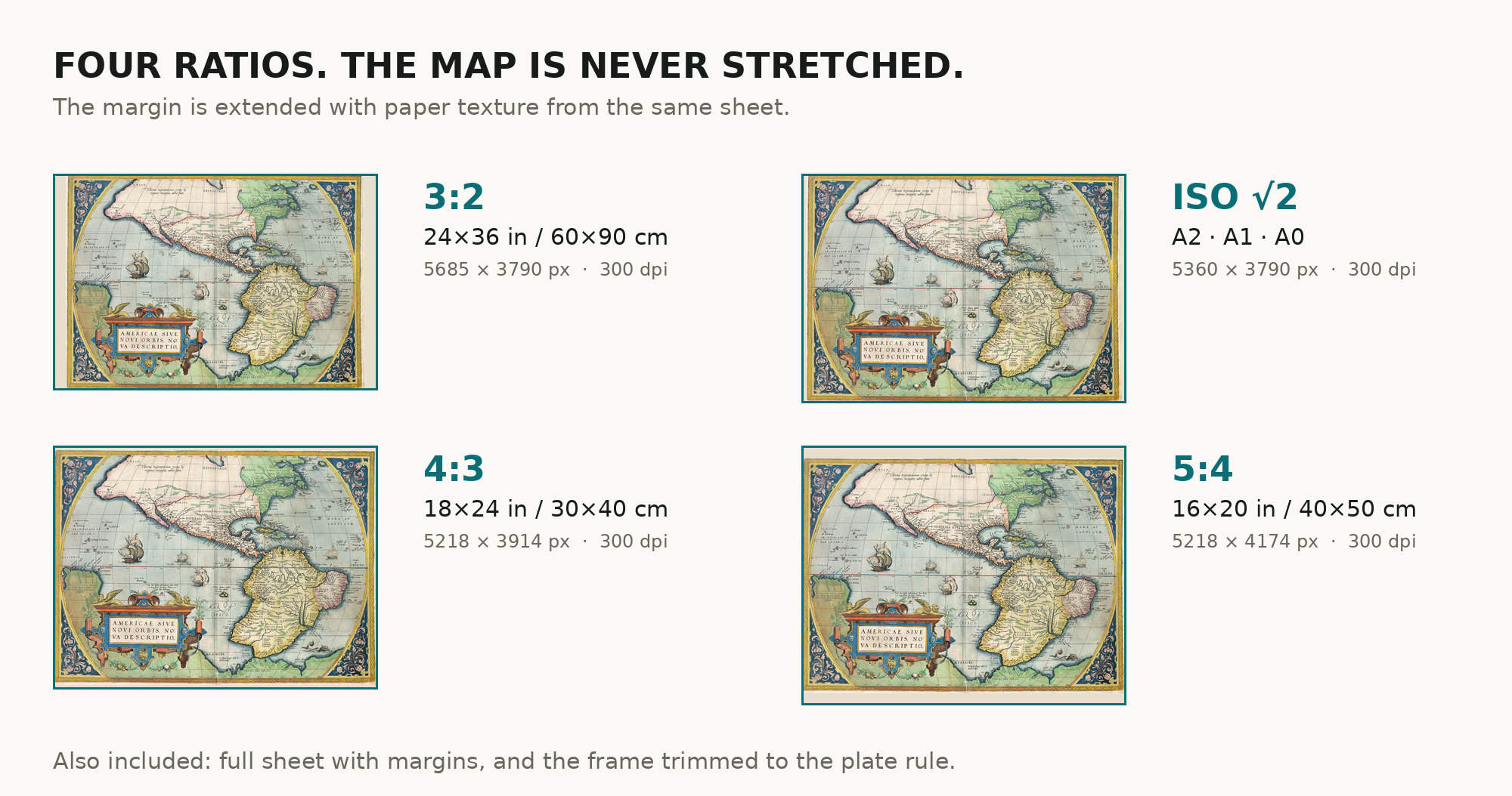
| You download | six ZIP archives: full sheet, trimmed, 3:2, 4:3, 5:4 and ISO A |
| Inside each one | one JPEG at 300 dpi, the restoration passport as a PDF, a READ ME |
How to print
- At 300 dpi the map prints to 44 cm. Pick the archive whose proportions match your frame; ask for matte fine-art paper in sRGB with auto-enhancement off.
- Where to print it: print shops near you and checked prices at online labs.
Source and rights
The file is made from the digitized image published by the Boston Public Library, Norman B. Leventhal Map & Education Center (the record notes that the atlas was scanned by Internet Archive), with the statement “No known copyright restrictions. No known restrictions on use.” The record gives 1570 and marks the date as inferred. It describes the sheet as hand colored but does not name the printing technique. There is no TIFF master in the package. Catalogue record: Leventhal Map & Education Center →
Features
- Latin
Attachments
Reviews
No reviews found
See also
-
 Antique Map of Africa 1570 — Ortelius, Africae Tabula Nova
-
Antique World Map c. 1850 — Bartholomew, British Empire in One View
-
Antique Map of Asia 1570 — Ortelius, Asiae Nova Descriptio
-
Antique World Map 1873 — Vivien de Saint-Martin, Planisphère, Mercator
-
Antique Map of Europe 1570 — Ortelius, Europae
-
Antique World Map 1598 — Plancius, Wieder Facsimile 1927