Antique World Map 1564 — Mercator, Quam Hic Vides Orbis Imaginem
NBNOGAA0010000715
Description
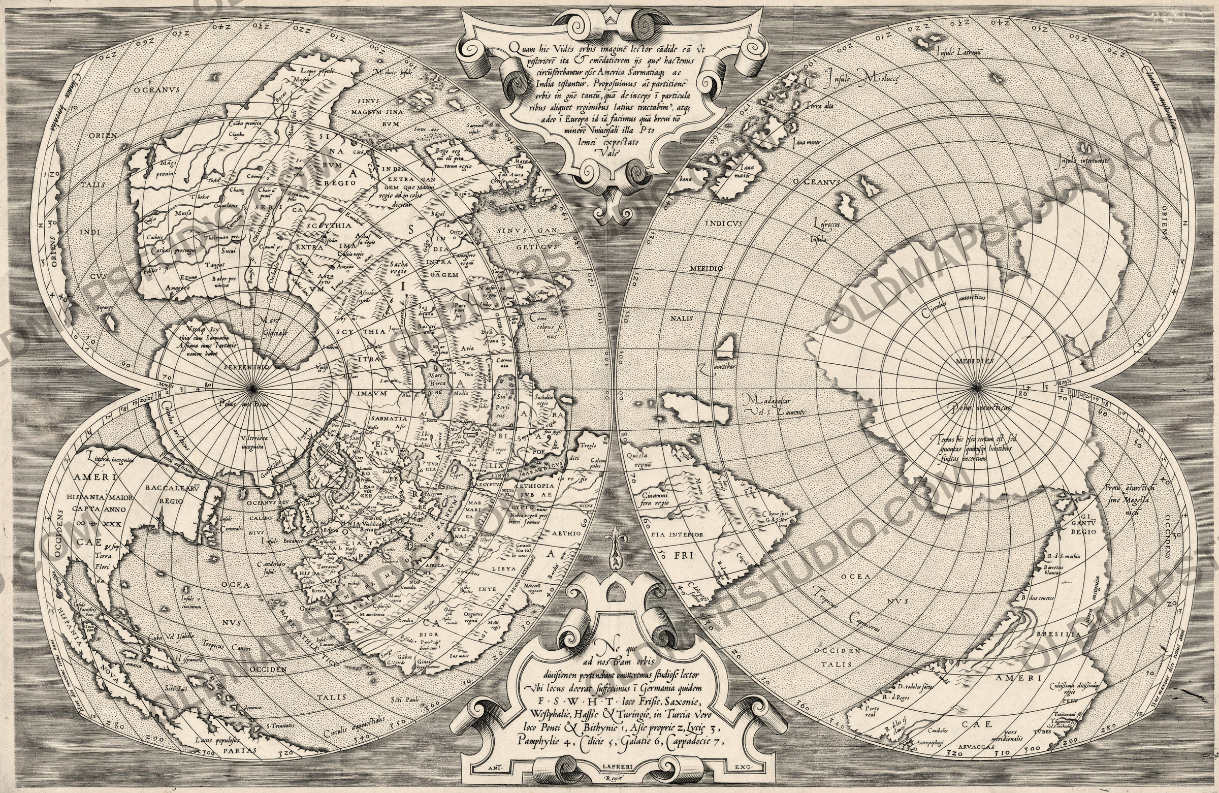
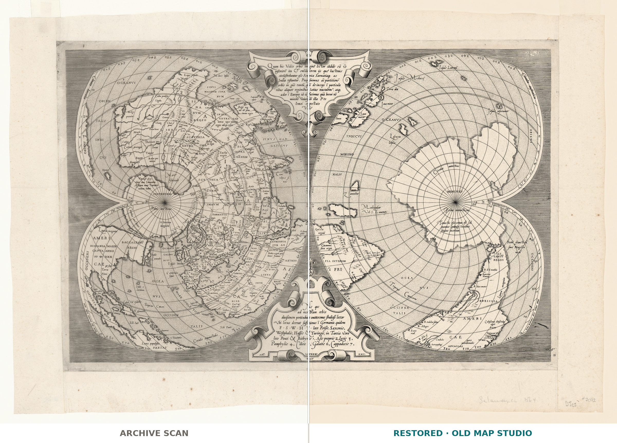
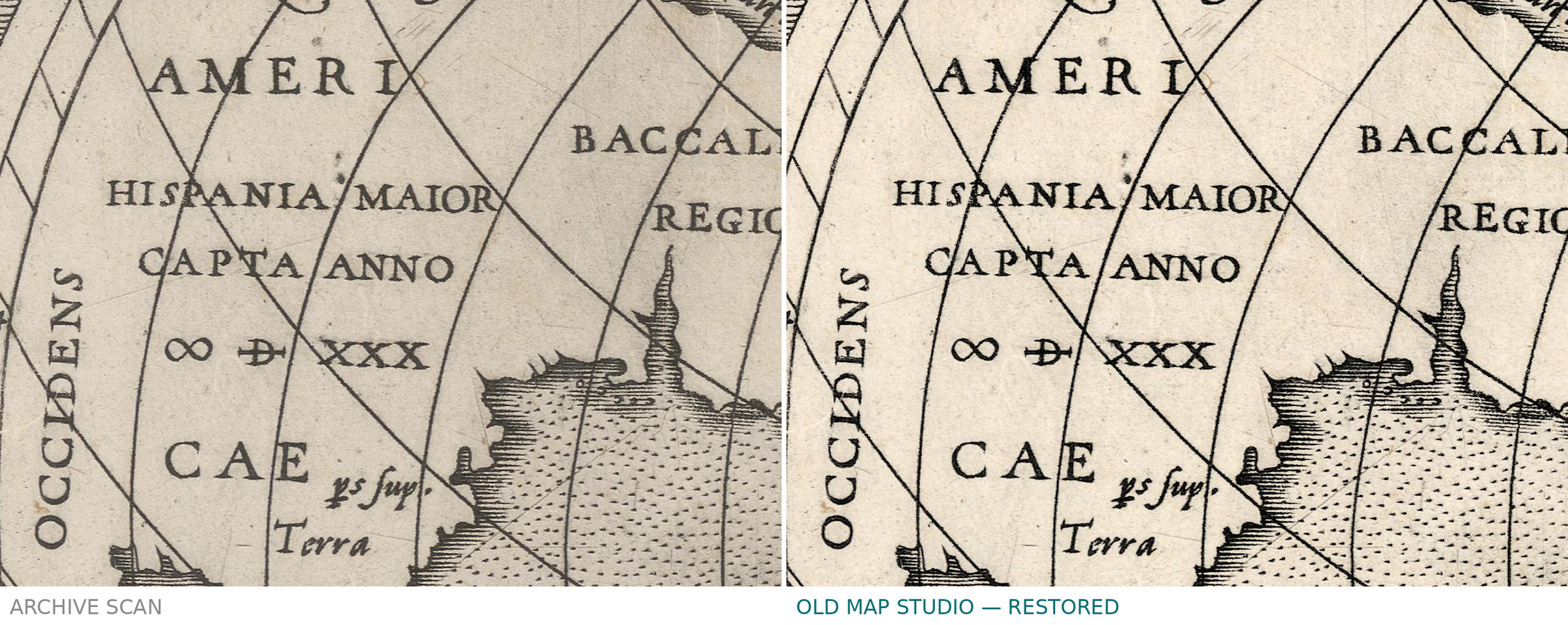
An old world map that argues its own case
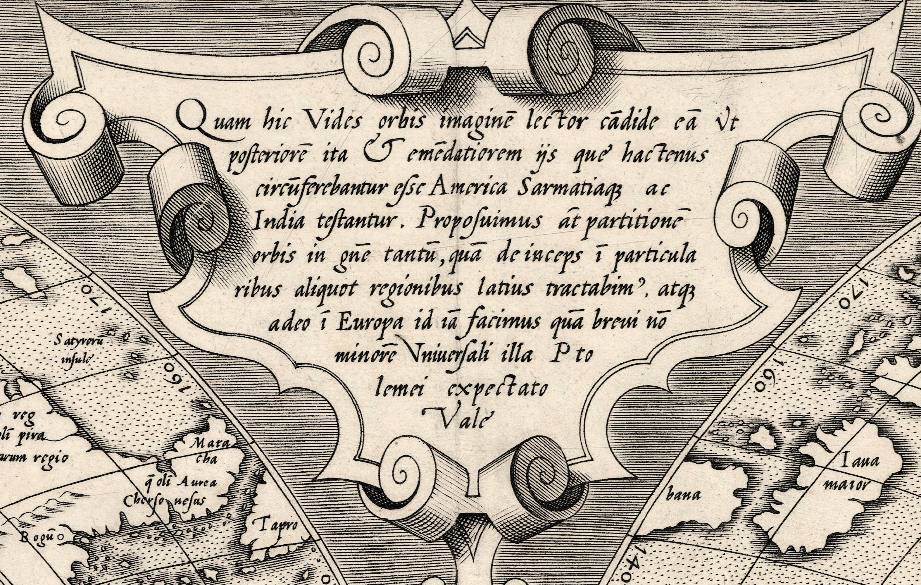
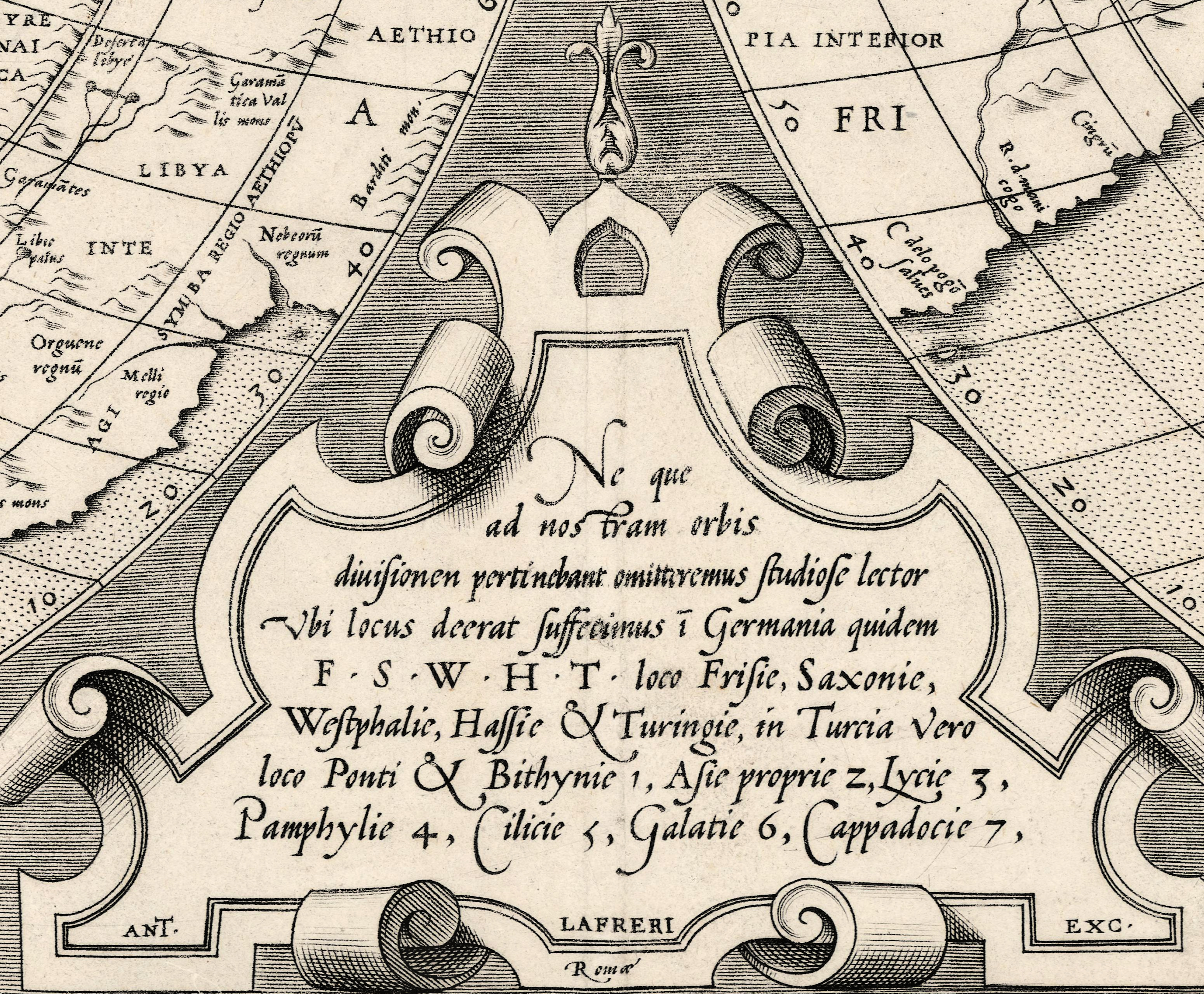
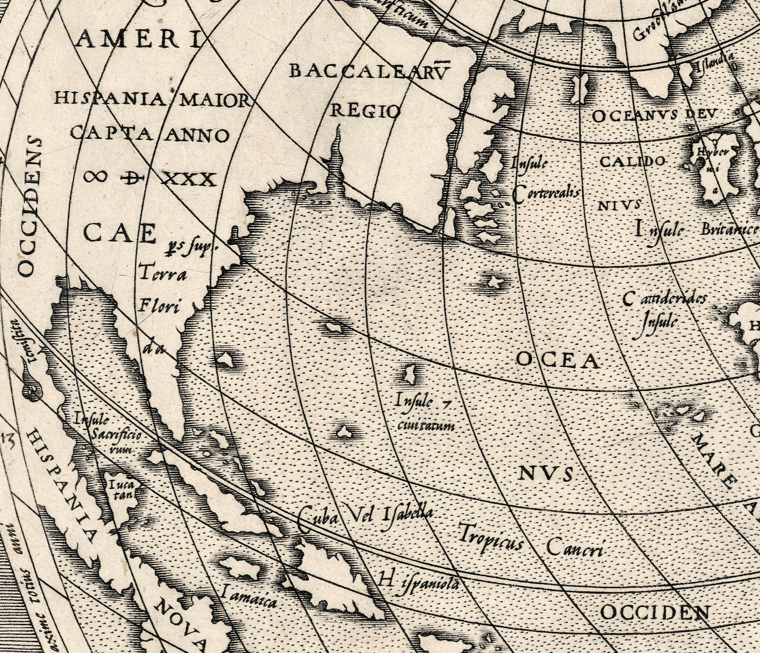
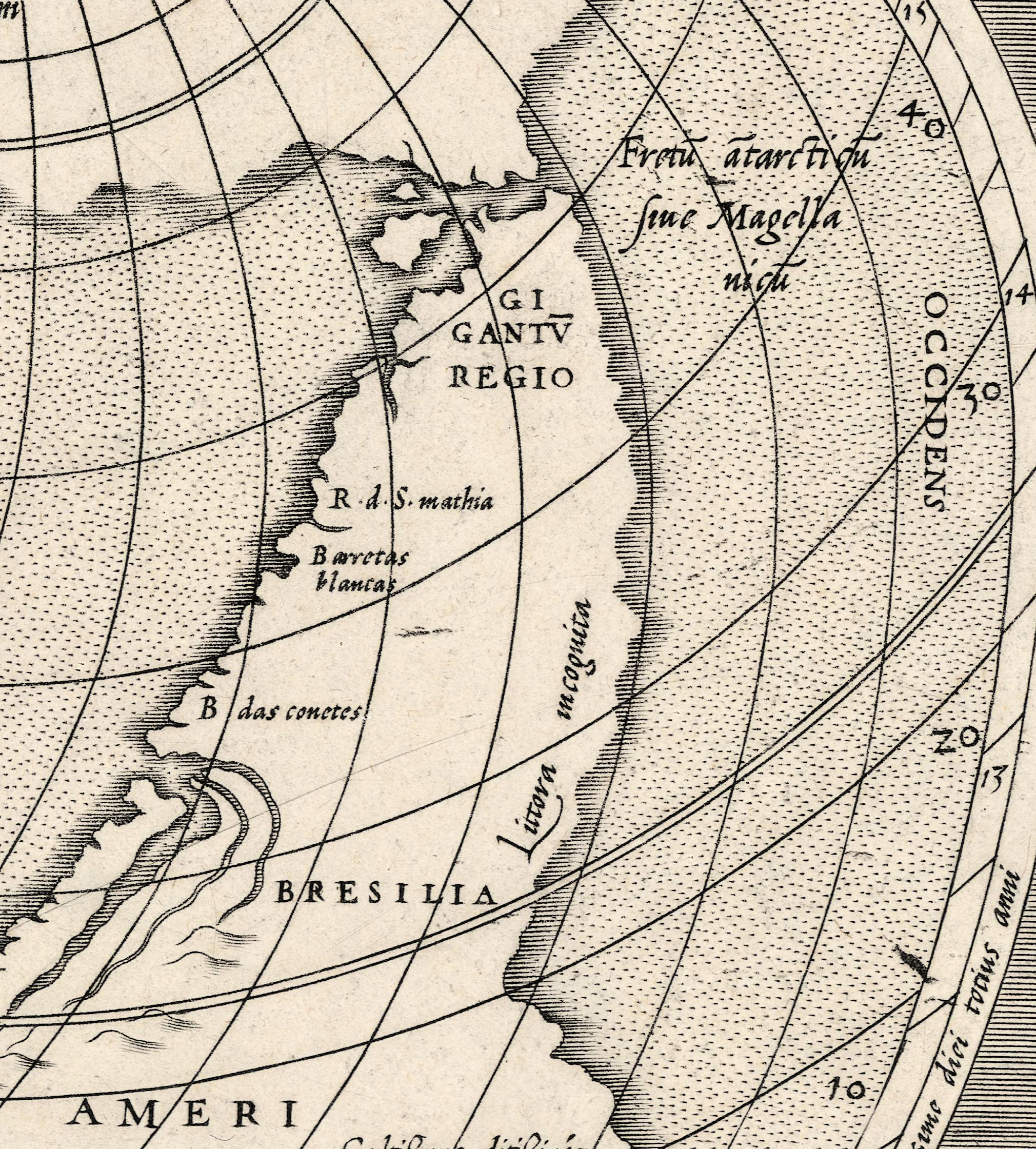
The title of this sheet is a sentence addressed to the reader — Quam hic vides orbis imaginem, lector candide… — and it argues: the image of the world you see here is later and better corrected than those circulated so far, and America, Sarmatia and India bear witness. The record of the National Library of Norway dates it to 1564, names Mercator, Lafréri and Salamanca, gives the imprint Ant. Lafreri Exc. and files the sheet under Rome. Size, technique and coloring are not in that record and are not claimed here.
Your file
| Original | Mercator, Lafréri and Salamanca; imprint Ant. Lafreri Exc., 1564, in Latin |
| Print size at 300 dpi | the map prints to 101 cm (40 in), the full sheet with margins to 127 cm (50 in) |
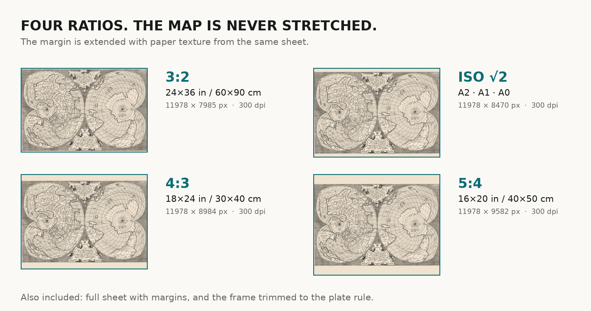
| You download | six ZIP archives: full sheet, trimmed, 3:2, 4:3, 5:4 and ISO A |
| Inside each one | one JPEG at 300 dpi, the restoration passport as a PDF, a READ ME |
How to print
- Print at 300 dpi at the size above and do not let the shop scale the file up.
- At a metre wide, ask for a single sheet rather than a panel join.
- Where to print it: print shops near you and checked prices at online labs.
Source and rights
National Library of Norway, URN:NBN:no-nb_digikart_gaa0010000715, public domain, viewable worldwide. Archive and URN are named in the passport inside every download. Catalogue record: Nasjonalbiblioteket →
Every map is a scan of a real sheet held in a named archive — library, shelfmark and year, all stated. Nothing generated, nothing redrawn.
Features
Map details
Century
1500s
Year
1564
Full original title
Quam hic Vides orbis imaginem lector candide eam vt posteriorem ita & emendatiorem ijs que hactenus circumferebantur esse America Sarmatiaque ac India testantur
Place of publication
Rome
Published in
Not stated in the record
Technique
Not stated in the record
Original color
Not stated in the record
Projection and layout
Not stated in the record
Language of the map
- Latin
File & printing
Full sheet width, px
15099
Full sheet height, px
10375
Map at 300 dpi, cm
101
Full sheet at 300 dpi, cm
127
Aspect ratio
1.46
Orientation
Landscape
Provenance & rights
Source archive
National Library of Norway
Shelfmark or file ID
URN:NBN:no-nb_digikart_gaa0010000715
Rights
Public domain
Attachments
Reviews
No reviews found
See also
-
 Antique World Map 1618 — Geylekerck, Orbis Terrarum Descriptio
-
Antique World Map 1714 — Delisle, Orbis Veteribus Noti
-
Antique World Map 1818 — Macpherson, Orbis Veteribus Cognitus
-
Antique World Map c. 1750 — Izobrazhenie Zemnogo Globusa
-
Antique World Map 1651 — Sanson, Mappe-Monde ou Carte Générale
-
Antique World Map 1541 — Fries, Tabula Noua Totius Orbis