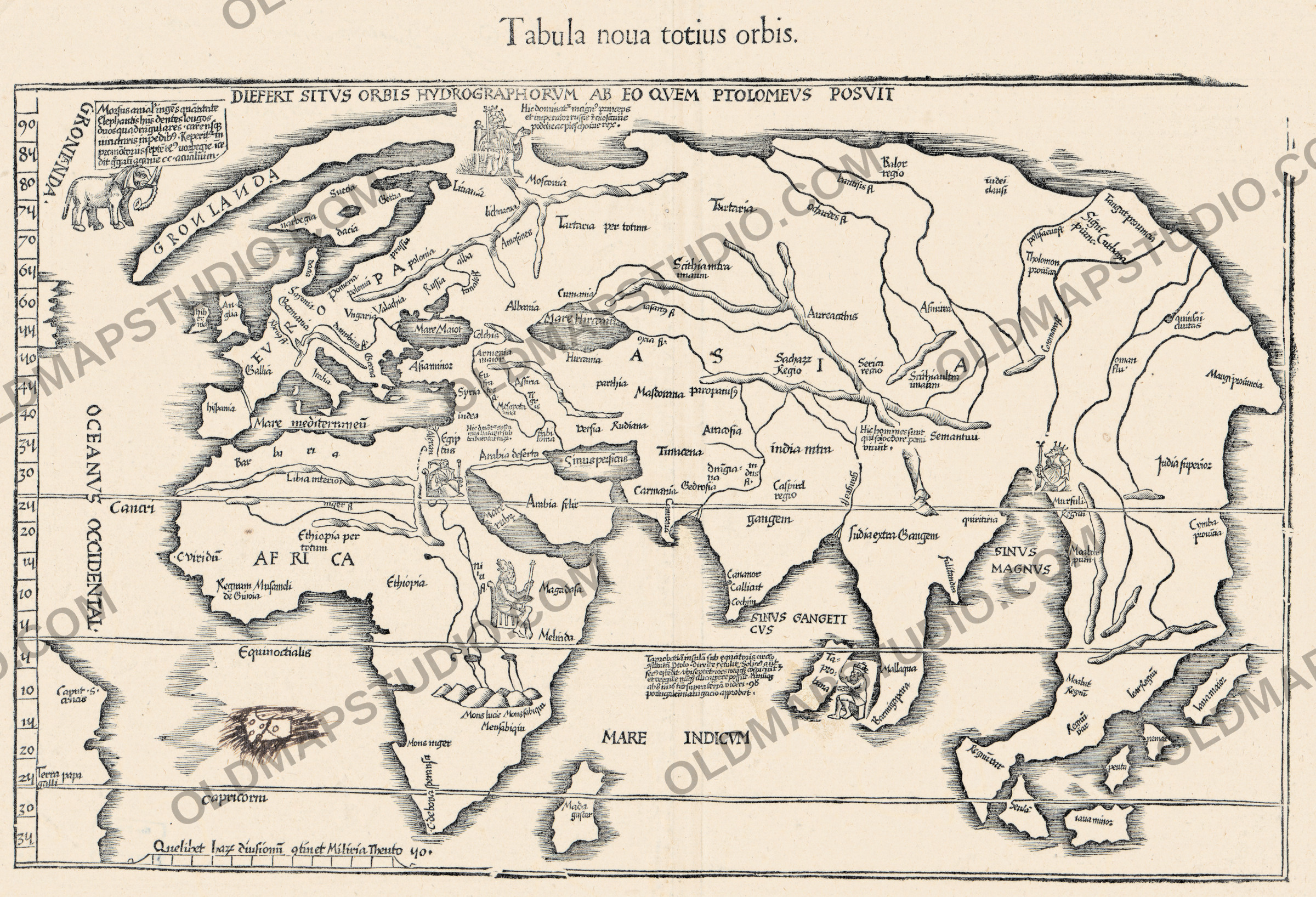
Antique World Map 1541 — Fries, Tabula Noua Totius Orbis

Description
An old world map of 1541, the modern half of a Ptolemy
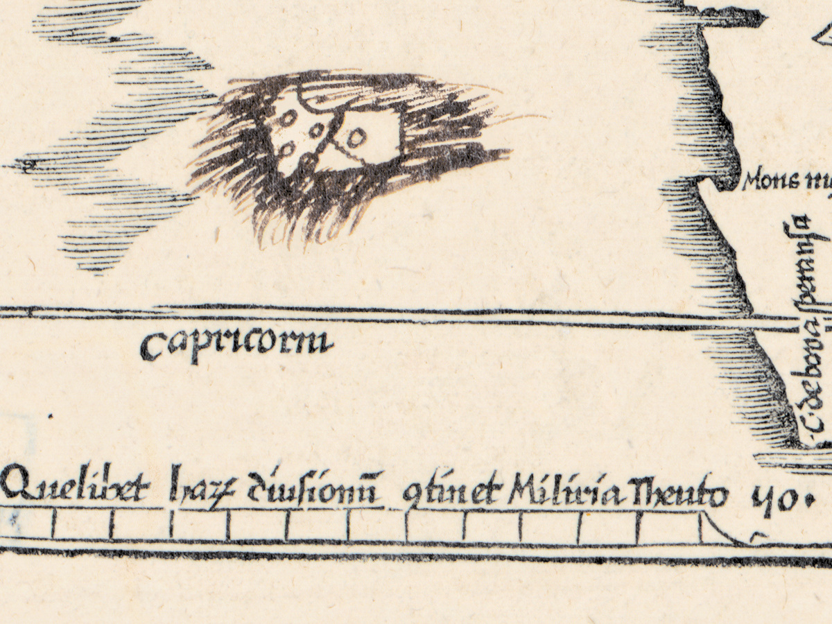
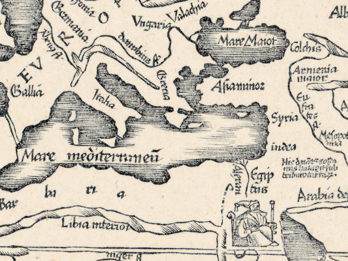
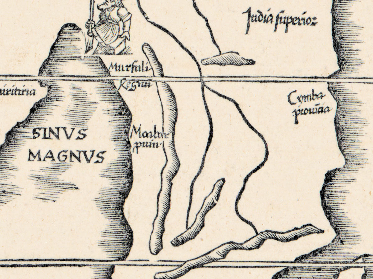
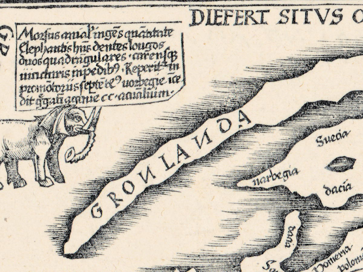
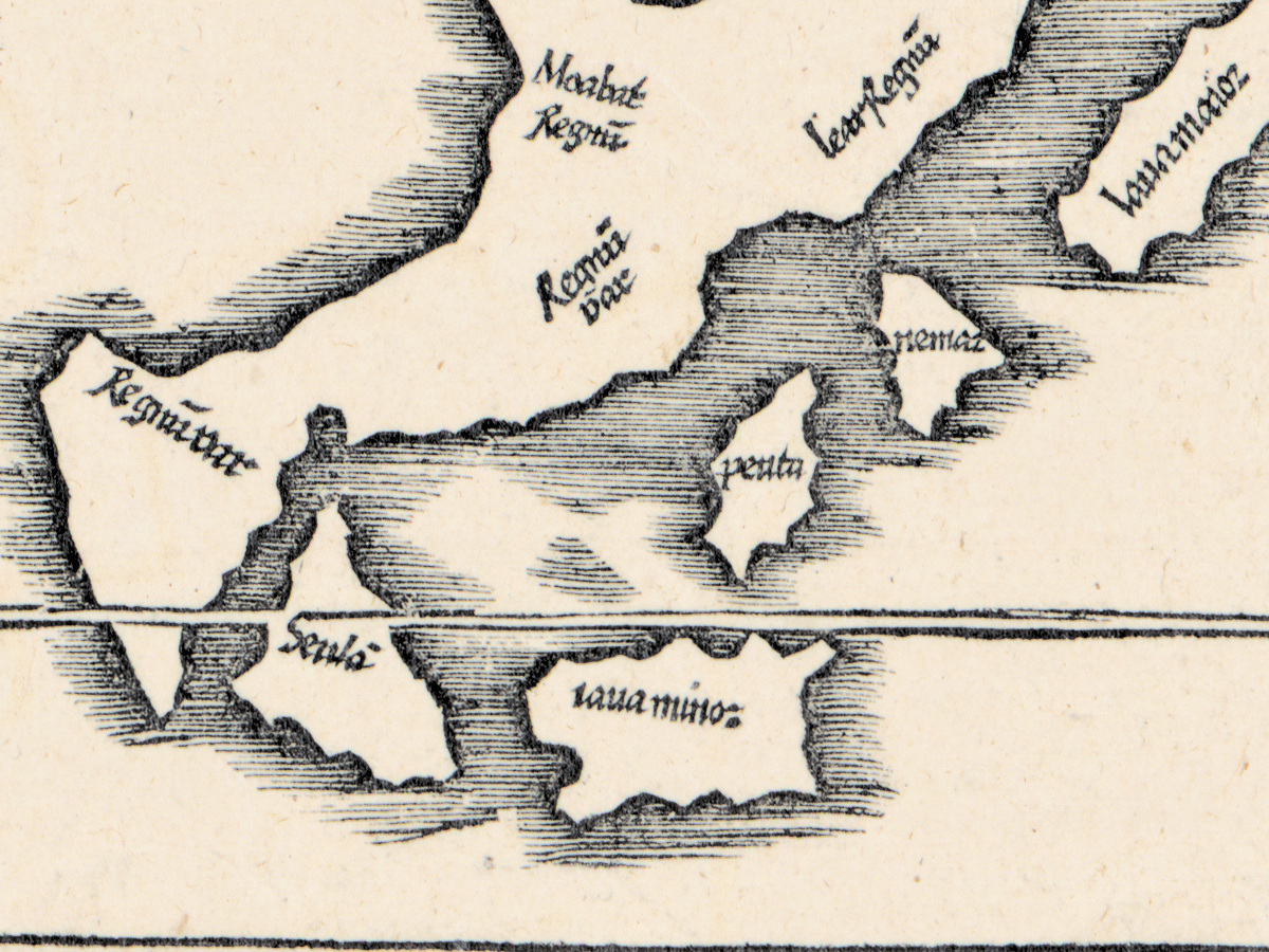
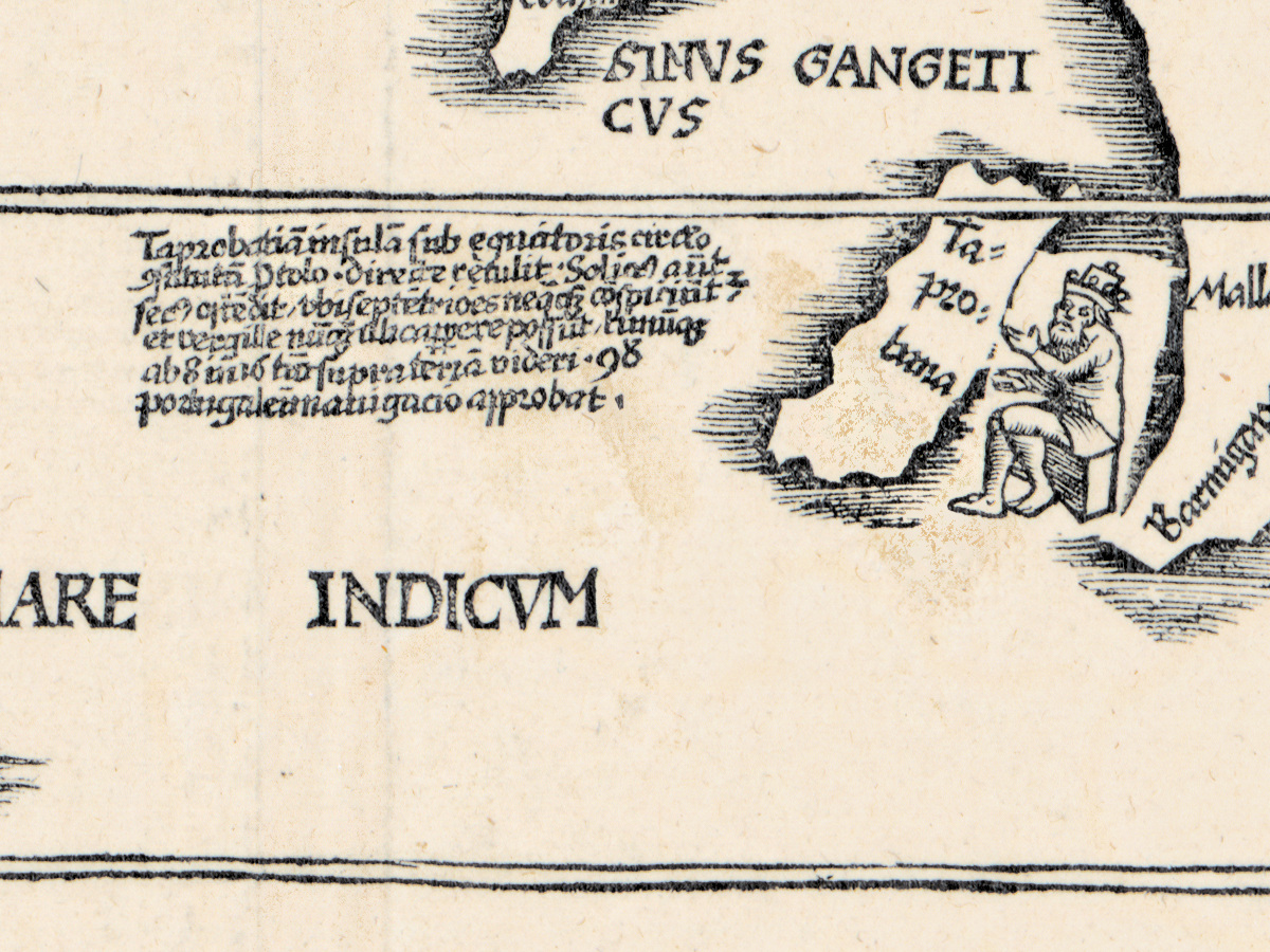
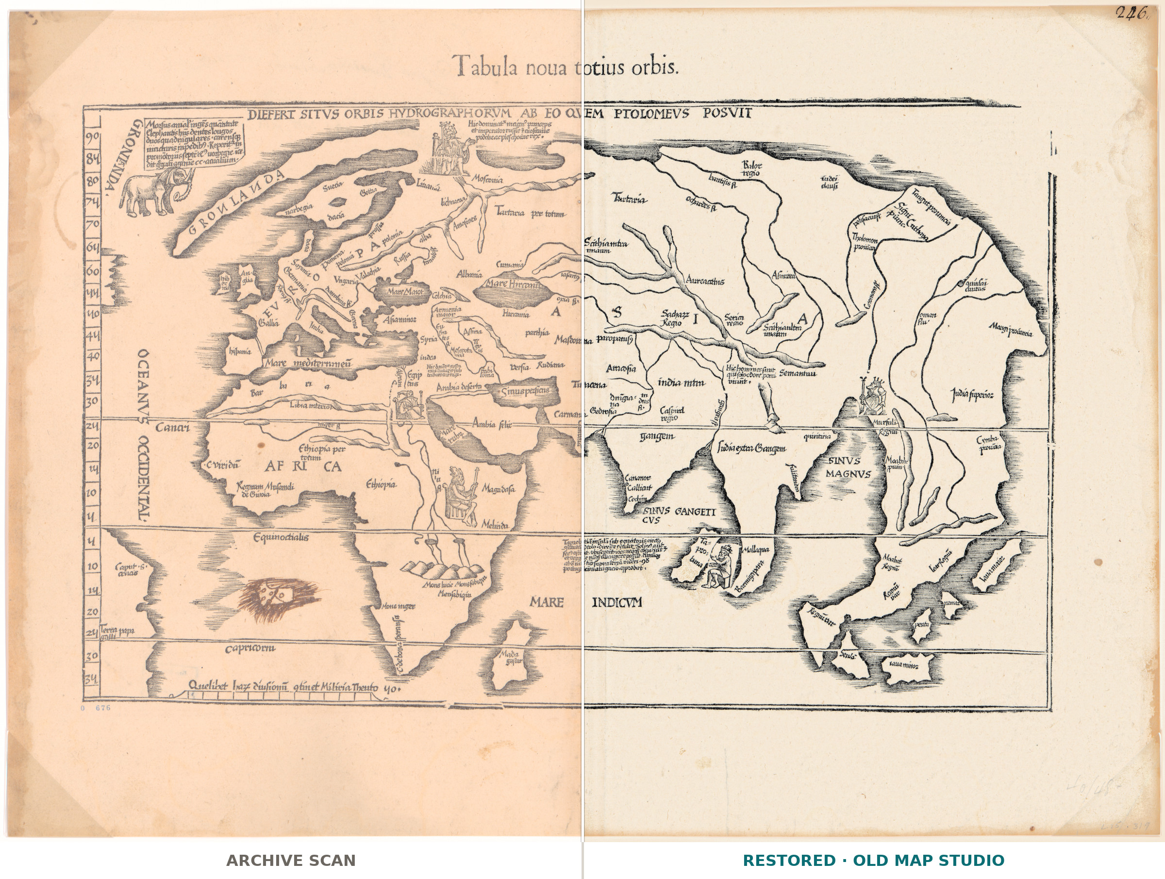
A Renaissance Ptolemy came in two parts: the maps the ancients had drawn, and the tabulae nouae, the new ones, which said what had been found since. This sheet is one of the new ones. Lorenz Fries drew the blocks and Gaspard Trechsel printed it at Vienne in 1541, ten years after Fries himself had died: a woodblock outlives the man who cut it. The record notes one thing nobody has explained — an indecipherable drawing off the west coast of Africa. Shirley lists the sheet as number 47.
Your file
| Original | Lorenz Fries, printed by Gaspard Trechsel, Vienne, 1541 |
| Sheet | 28 × 48 cm, a woodcut |
| Scan | full sheet 6472 × 4680 px; the map inside the trimmed border 5468 × 3694 px. From the library's own scan, not an upscale |
| Print size at 300 dpi | the map prints to 47 cm (18 in), the full sheet with margins to 54 cm (21 in) |
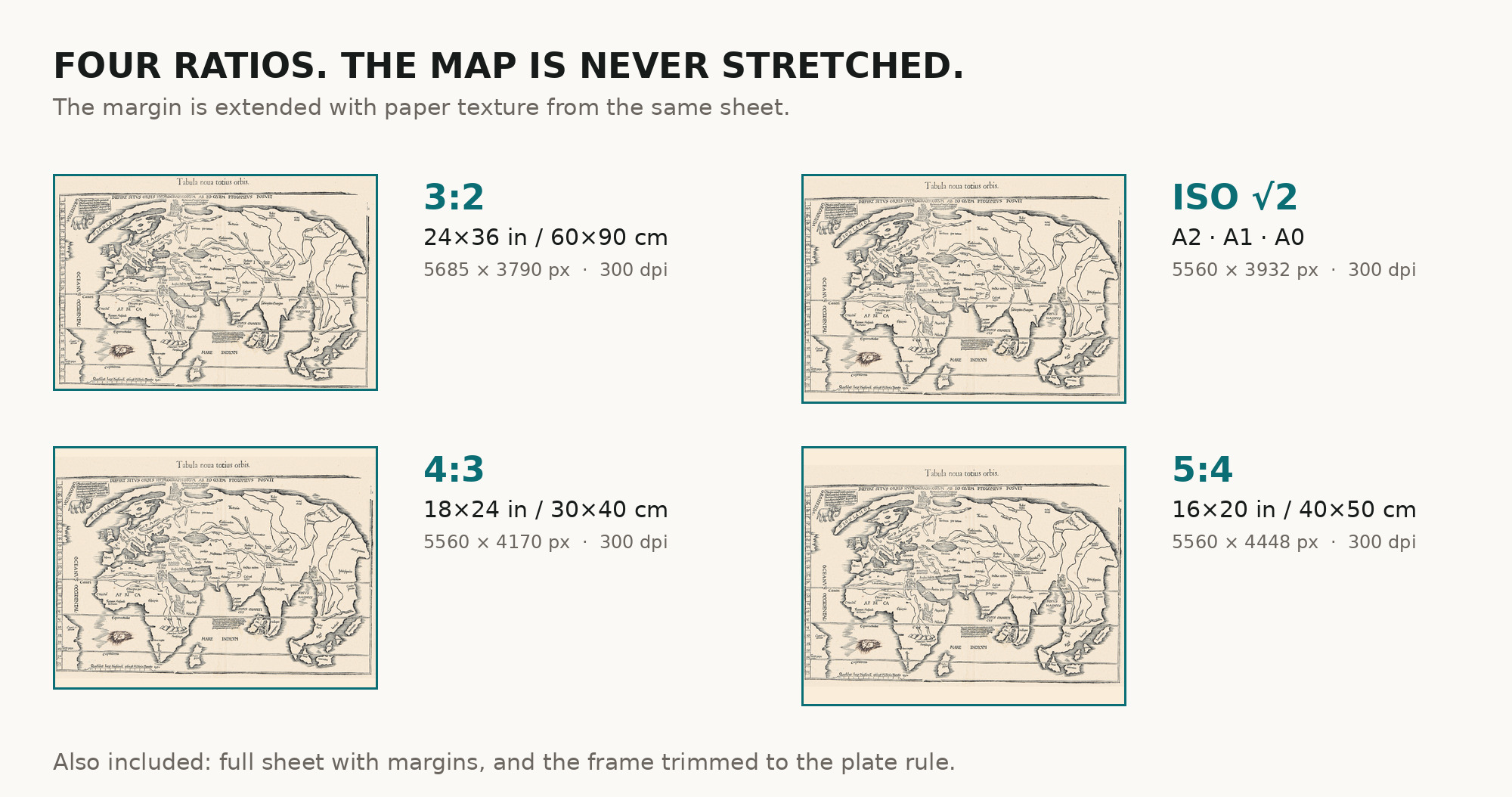
| You download | six ZIP archives: full sheet, trimmed, 3:2, 4:3, 5:4 and ISO A |
| Inside each one | one JPEG at 300 dpi, the restoration passport as a PDF, a READ ME |
How to print
- Pick the archive whose proportions match your frame, so nothing is cropped or stretched.
- Ask for matte fine-art paper, printed in sRGB with auto-enhancement off.
- Where to print it: print shops near you and checked prices at online labs.
Source and rights
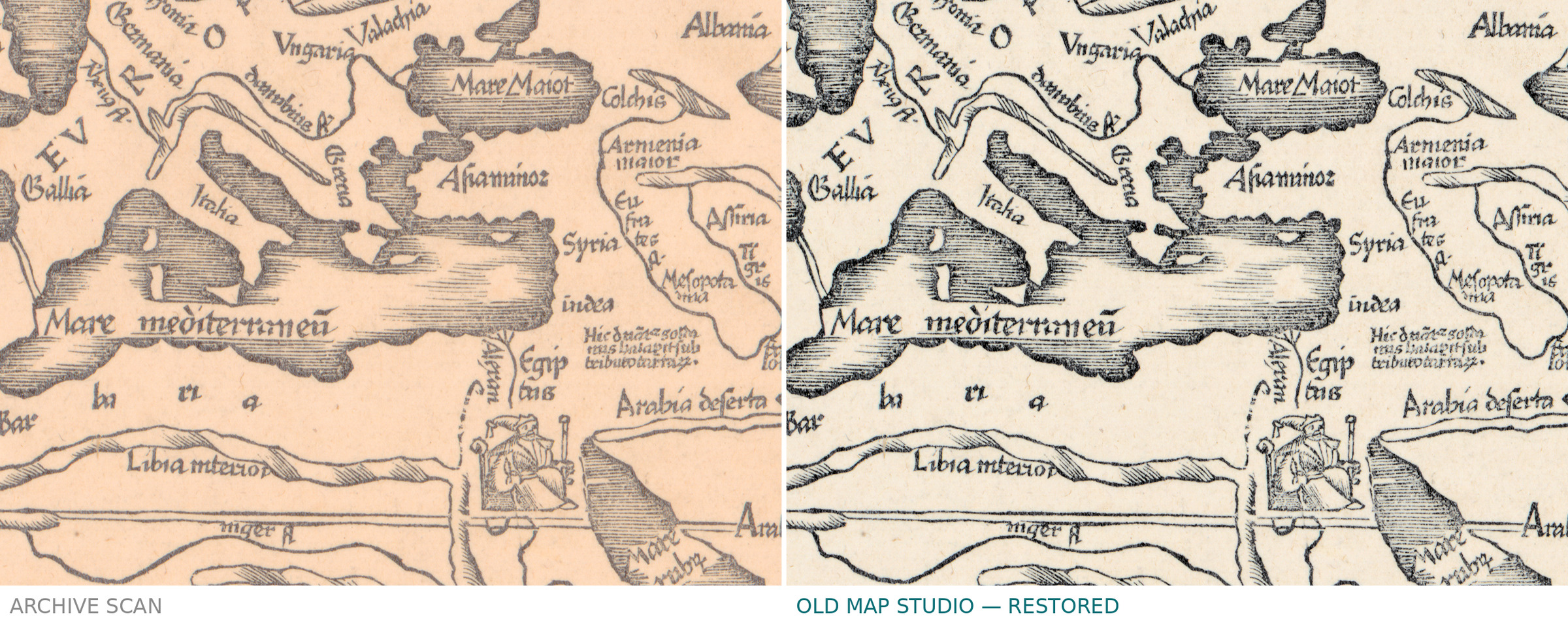
Library of Congress, Geography and Map Division, call number G3200 1541 .F8, LCCN 2017585806. The Library states the content is free to use and reuse, crediting the division. Its record is candid about this copy, and so are we: it is darkened and liquid stained along the left and right margins, it carries a stamp reading 0 676 in the lower left corner and a handwritten 246 in the upper right. The passport in every archive records what was removed. There is no TIFF master in the package. Catalogue record: Library of Congress →
Features
- Latin
Attachments
Reviews
No reviews found
See also
-
 Antique World Map c. 1750 — Izobrazhenie Zemnogo Globusa
-
Antique World Map 1677 — Duval, Carte Vniverselle du Commerce
-
Antique World Map 1714 — Delisle, Orbis Veteribus Noti
-
Antique World Map 1811 — d'Anville, Orbis Veteribus Notus
-
Antique World Map 1564 — Mercator, Quam Hic Vides Orbis Imaginem
-
Antique World Map 1848 — Johnston, Zoological Geography