Antique World Map c. 1696 — Sanson, Mappe-monde
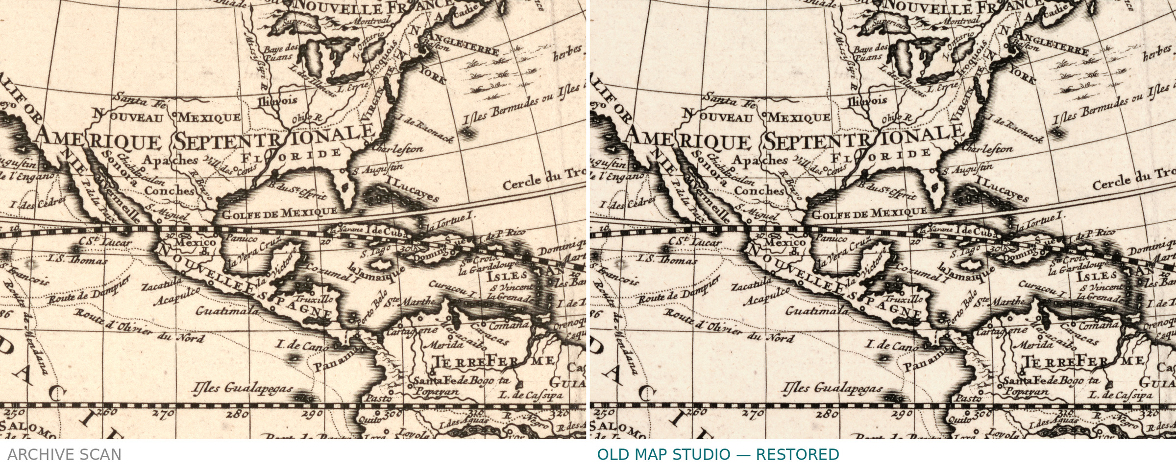
Description
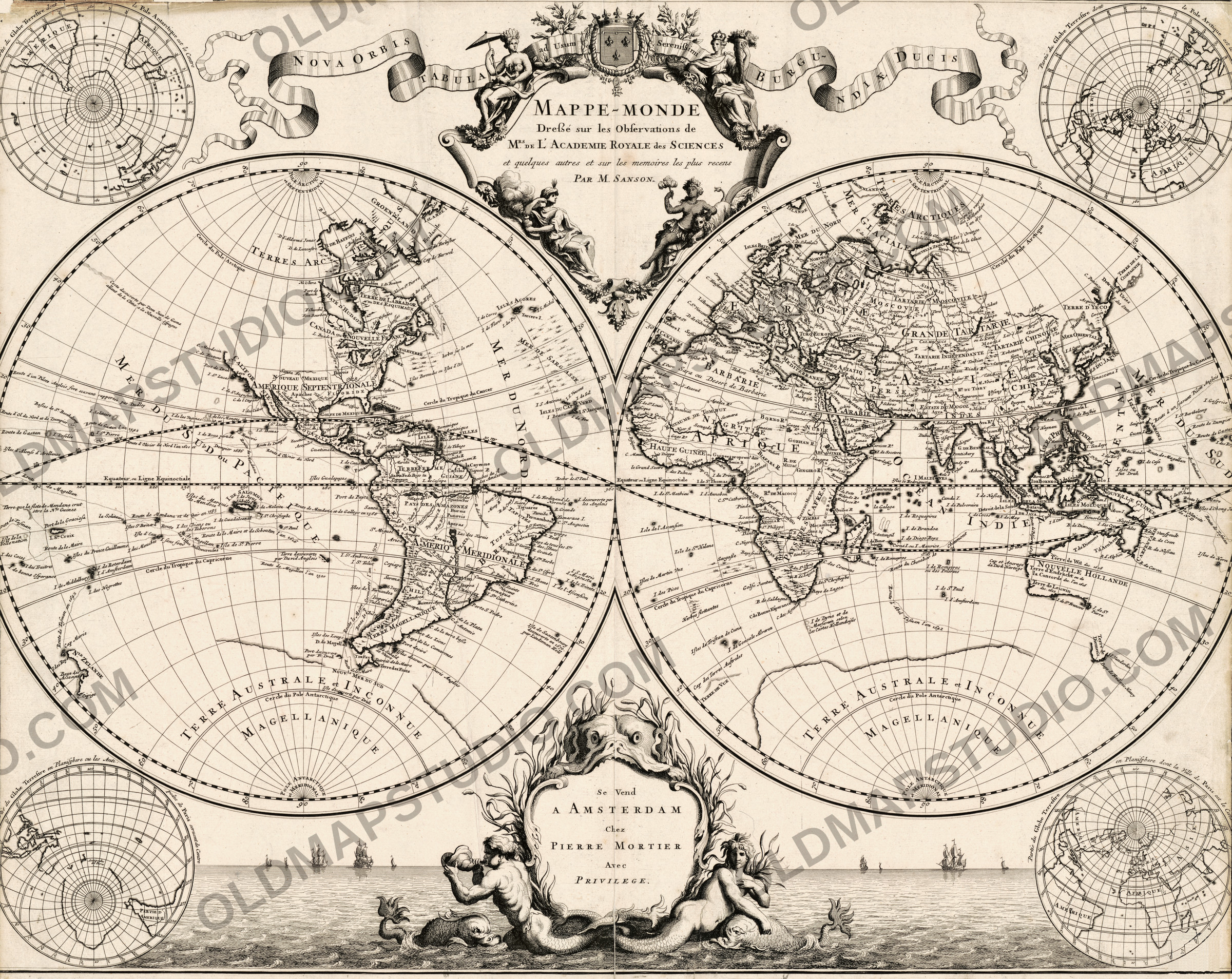
An old world map from Sanson's Atlas nouveau, Amsterdam
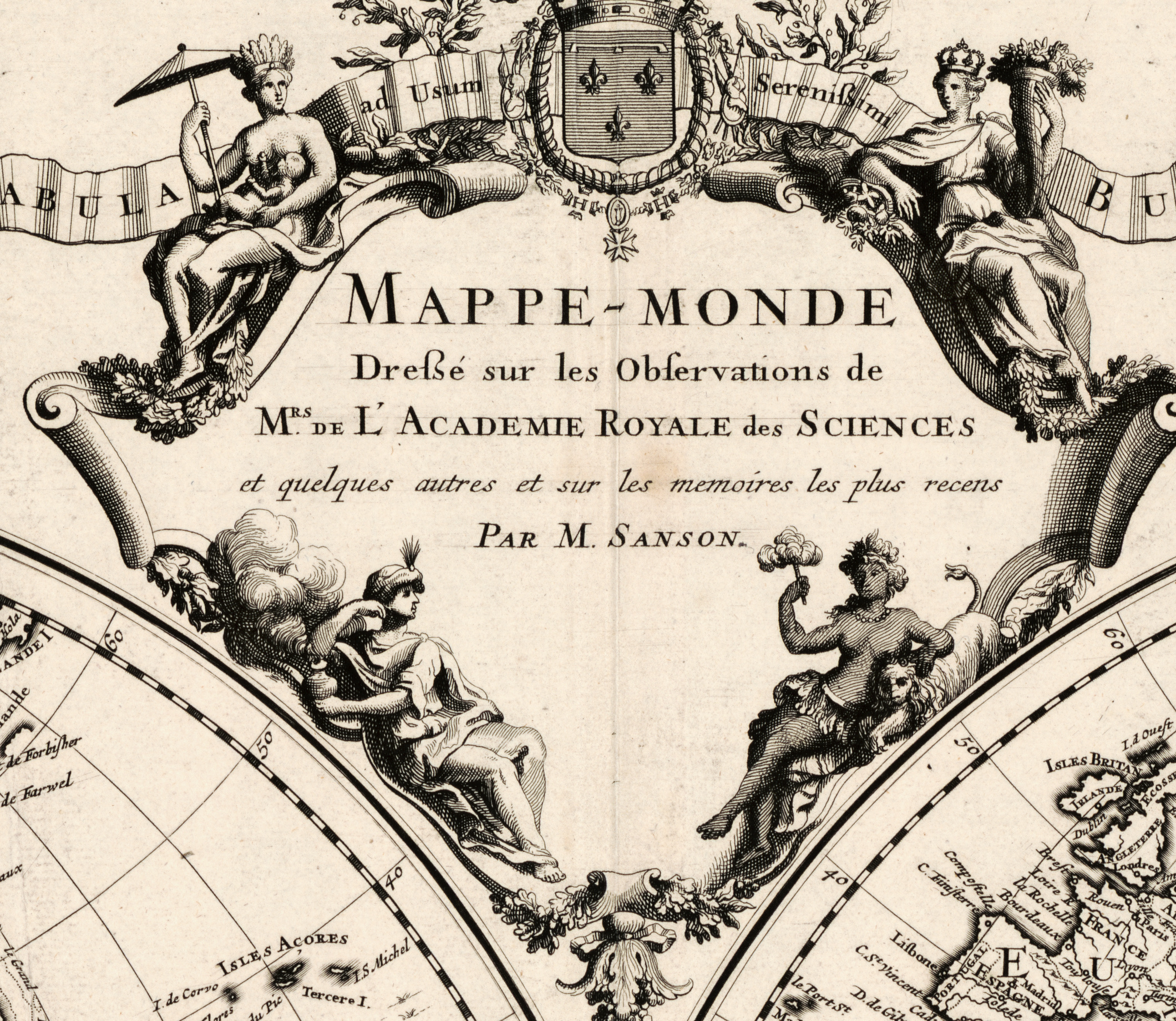
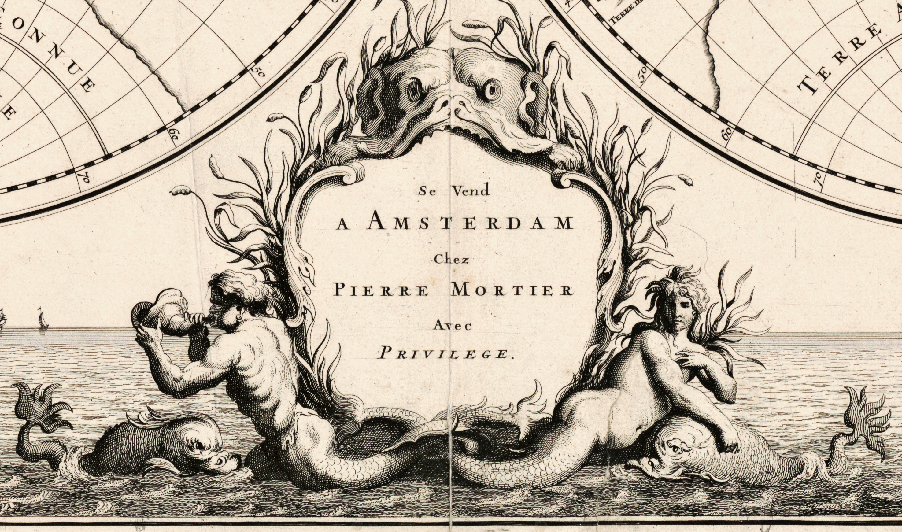
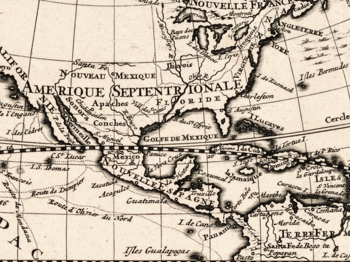
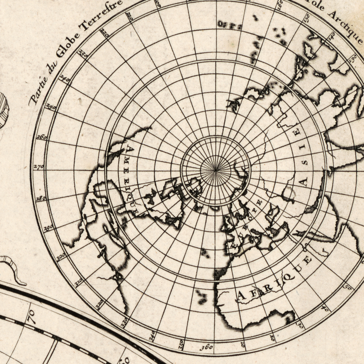
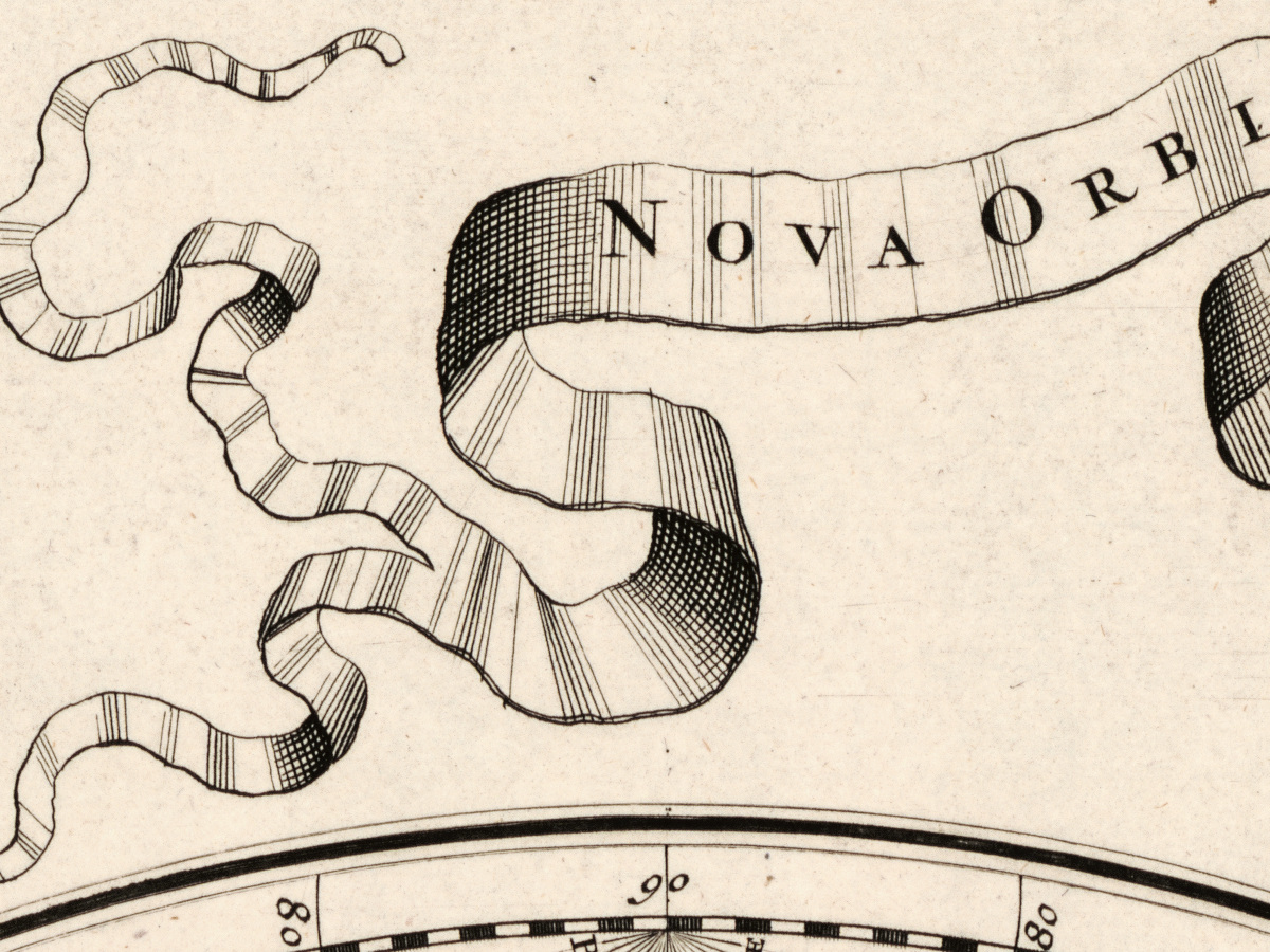
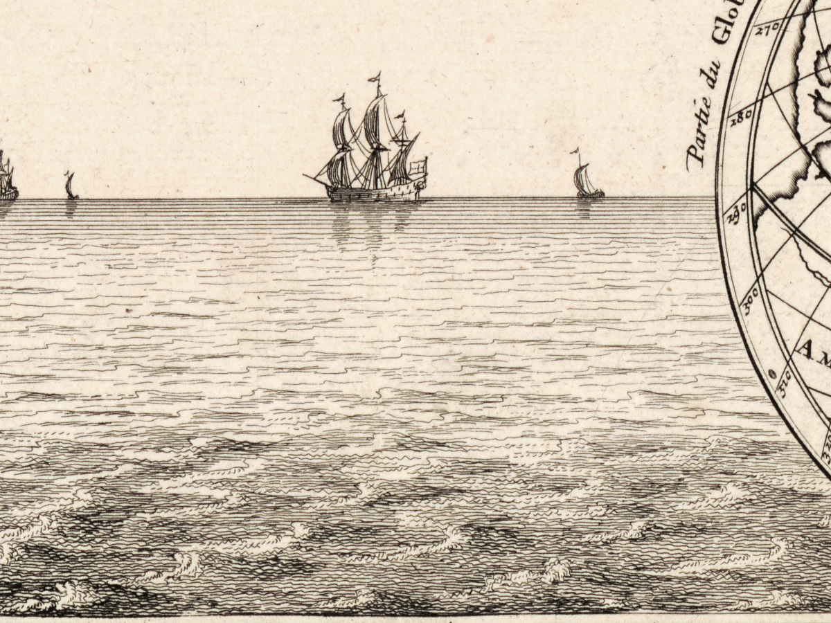
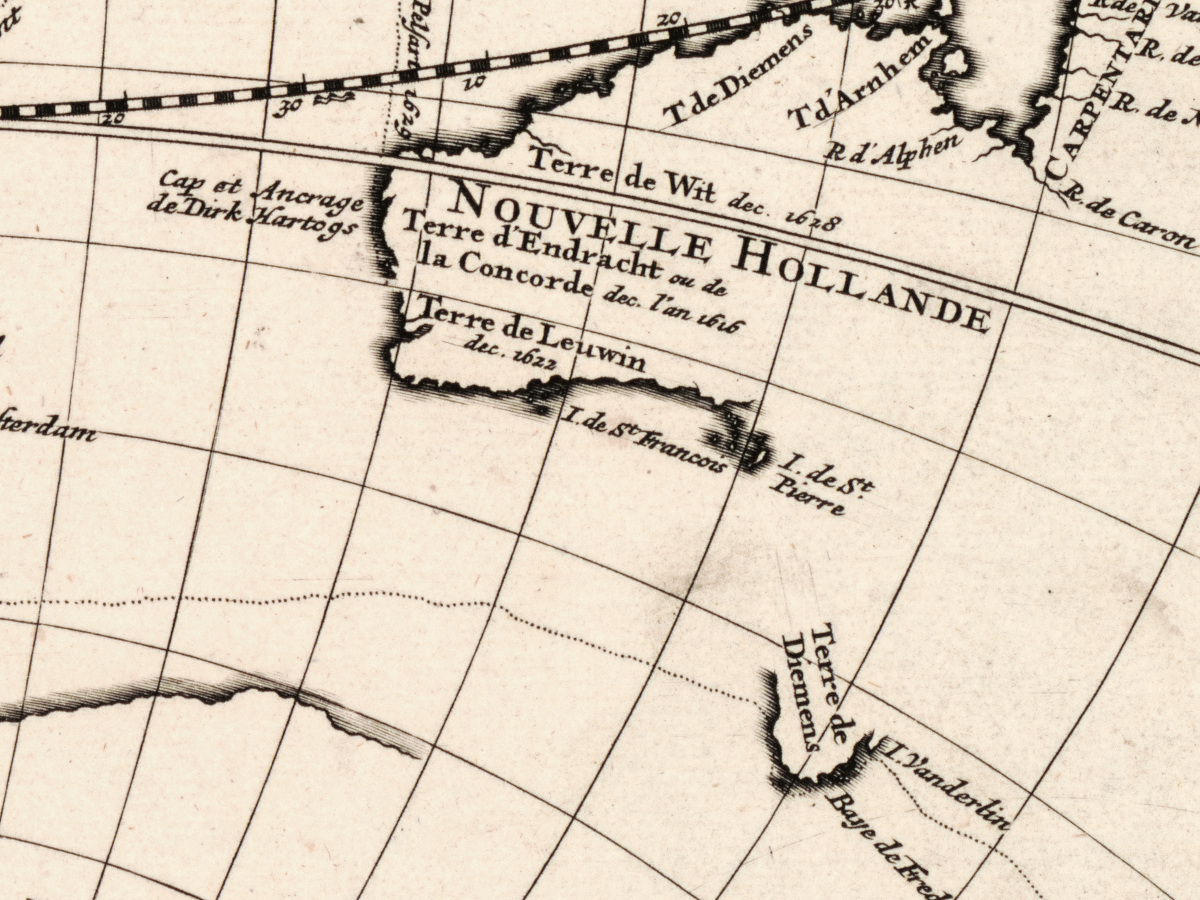
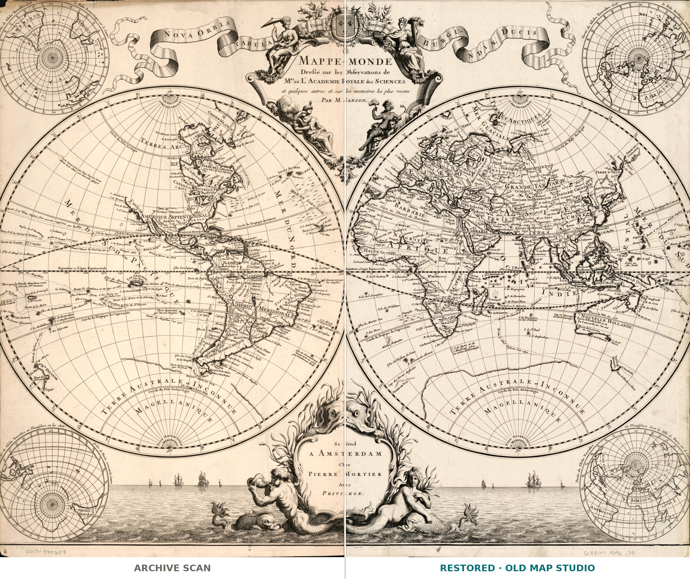
The sheet carries two titles, one in French and one in Latin: Mappe-monde, dressé sur les observations de mrs. de l'Academie royale des sciences and Nova orbis tabula ad usum serenissimi Burgundiae ducis. Pierre Mortier printed it in Amsterdam around 1696 for Nicolas Sanson's Atlas nouveau. Two hemispheres of 32 cm each fill a sheet of 52 × 73 cm, with relief drawn pictorially, engraved illustrations and four small polar projections set around the main circles. The claim in the title is the selling point of its own day: drawn on the observations of the Académie royale des sciences and on the most recent memoirs.
Your file
| Original | Nicolas Sanson, published by Pierre Mortier, Amsterdam, c. 1696, copper engraving |
| Sheet | 52 × 73 cm, each hemisphere 32 cm across |
| Print size at 300 dpi | up to 62 cm (24 in) on the long side |
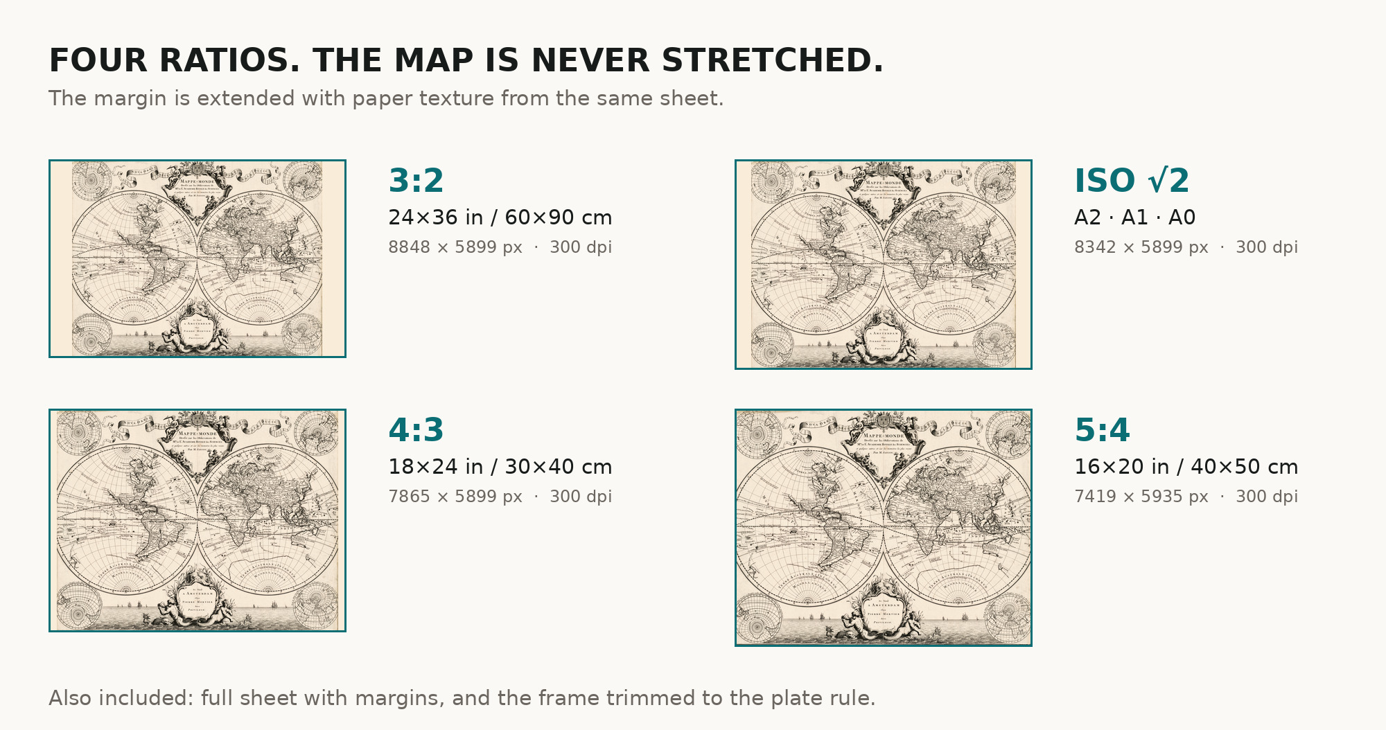
| You download | six ZIP archives: full sheet, trimmed, 3:2, 4:3, 5:4 and ISO A |
| Inside each one | one JPEG at 300 dpi, the restoration passport as a PDF, a READ ME |
How to print
- Print at 300 dpi at the size above and do not let the shop scale the file up.
- Pick the archive whose proportions match your frame, so nothing is cropped or stretched.
- Where to print it: print shops near you and checked prices at online labs.
Source and rights
Library of Congress, Geography and Map Division, shelfmark G3200 1696 .S3, LCCN 2017585658. The division's digitized collections are free to use and reuse, and the library is named in the passport inside every archive. Catalogue record: Library of Congress →
Features
- French
- Latin
Attachments
Reviews
No reviews found
See also
-
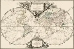
 Antique World Map 1752 — Robert de Vaugondy, Mappemonde
-
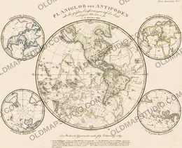
Antique World Map 1816 — Stieler, Planiglob der Antipoden
-
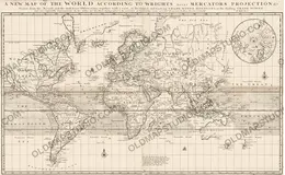
Antique World Map 1706 — Moll, A New Map of the World
-
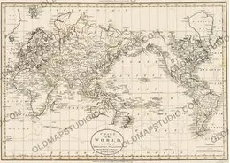
Antique World Map 1799 — Chart of the World
-
Antique World Map 1680 — Sanson, A Mapp of All the World
-
Antique World Map 1709 — Moll, A New and Correct Map