Antique World Map 1628 — Danckerts, Charte Vniuerselle


Description
An old world map printed in Paris in 1628, with the sky on the same sheet
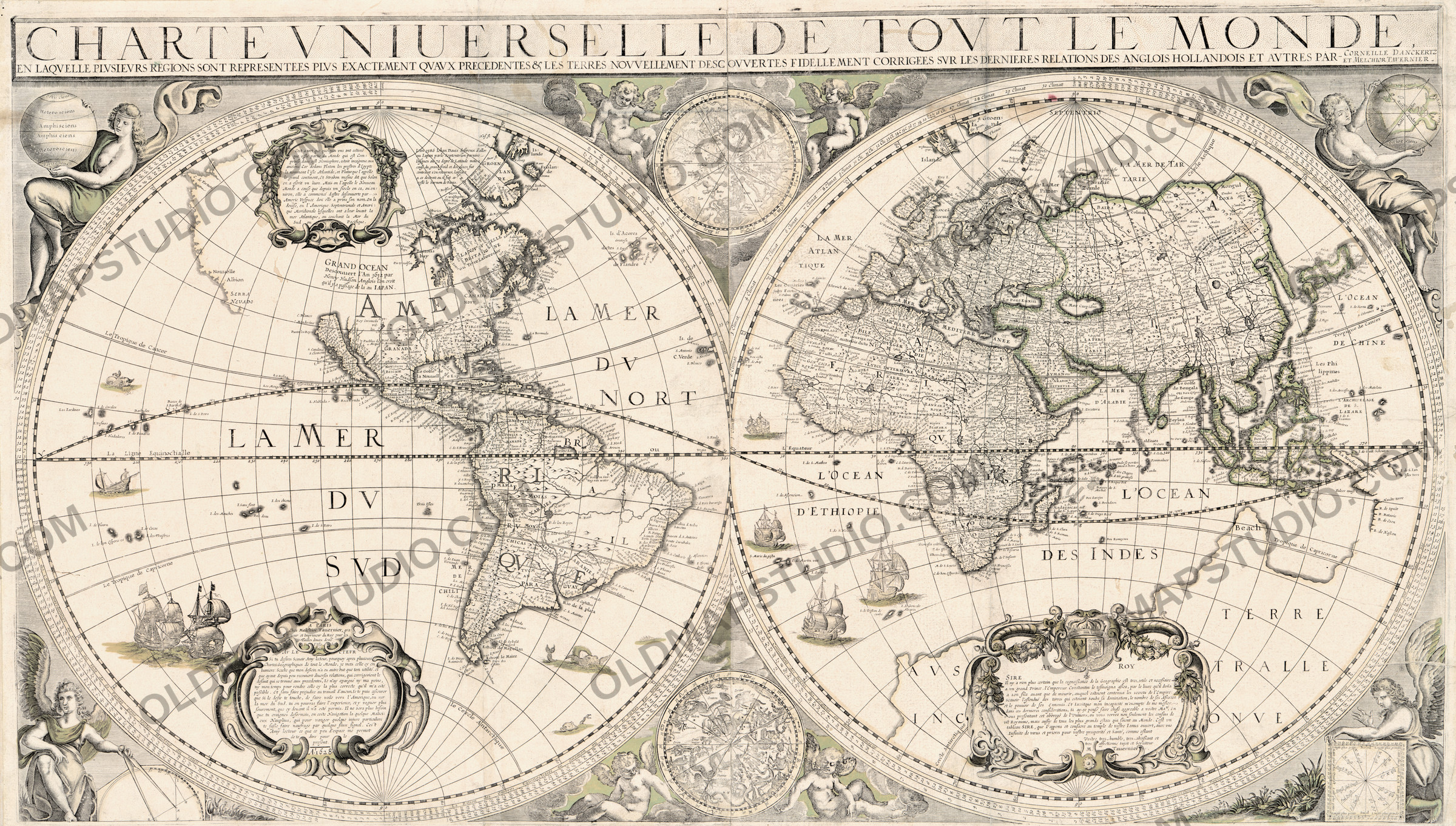
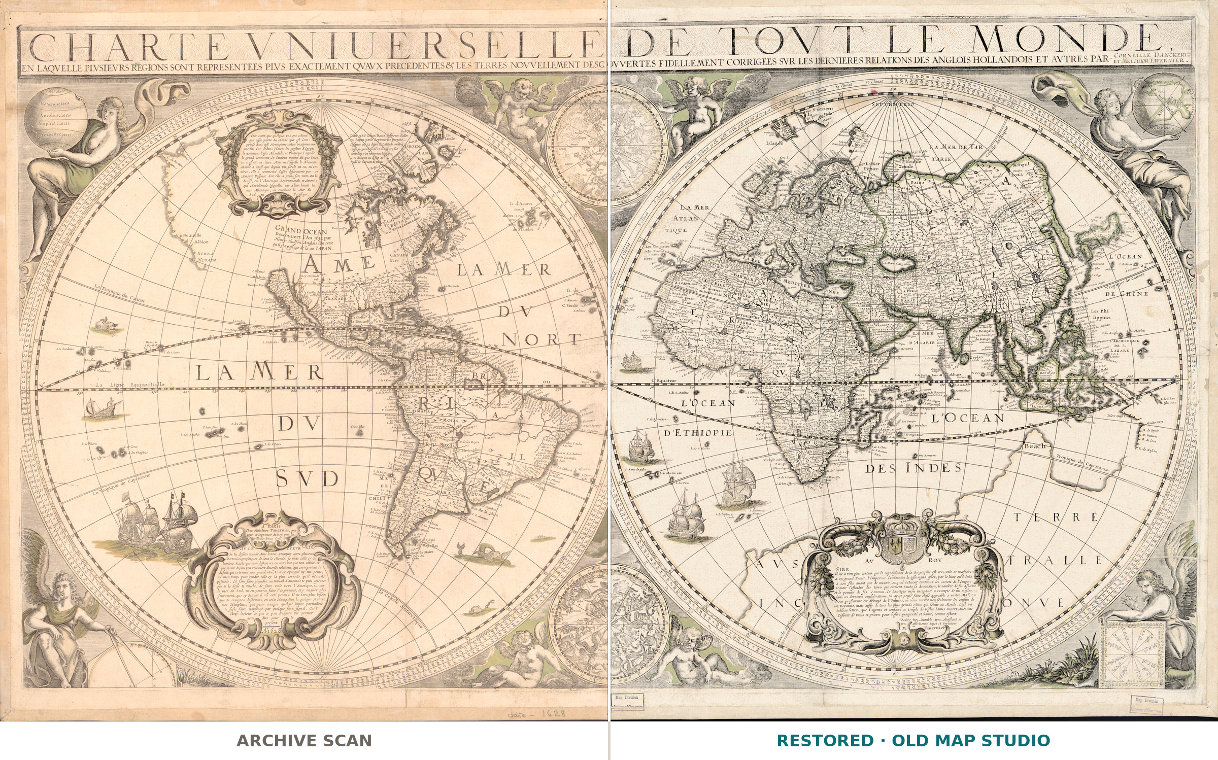
The title is a claim and a correction at once: Charte vniuerselle de tovt le monde, en laqvelle plvsievrs regions representees plvs exactement qvavx precedentes & les terres novvellement descovvertes fidellement corrigees svr les dernieres relations des anglois, hollandois et avtres — a universal chart of the whole world, in which several regions are shown more exactly than in the ones before it, and the newly discovered lands corrected after the latest reports of the English, the Dutch and others. That is the selling line of 1628, printed on the map itself: buy this one, the others are out of date.
What is on the sheet
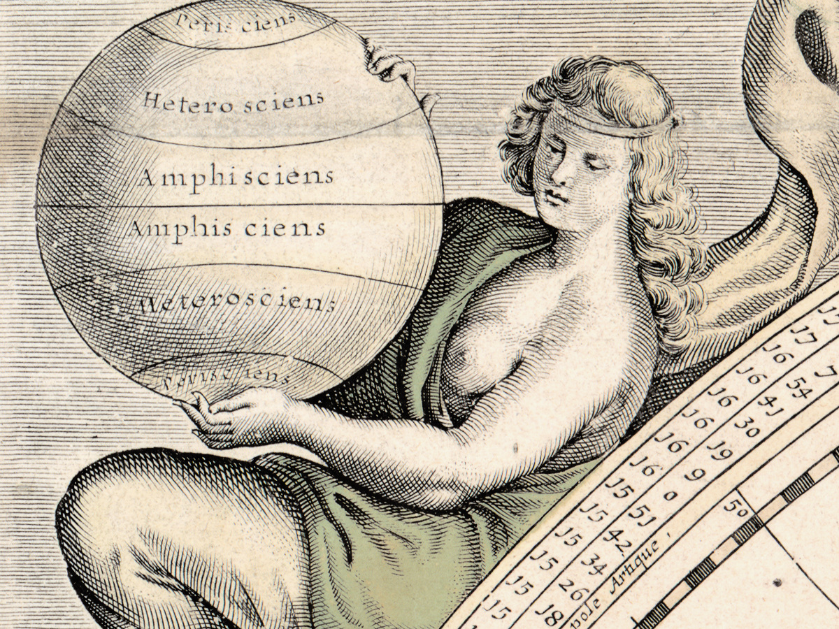
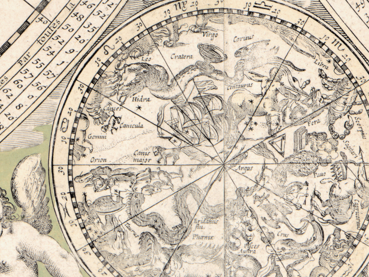
It is large: 56 by 96 cm, two hemispheres of 45 cm each, assembled from two sheets because the plate was wider than the paper. Beside the two terrestrial hemispheres the record lists two celestial ones, illustrations and blocks of printed notes. Relief is shown pictorially, in the manner of the period: ranges drawn in profile rather than measured. The lettering is French.
The copy we scanned
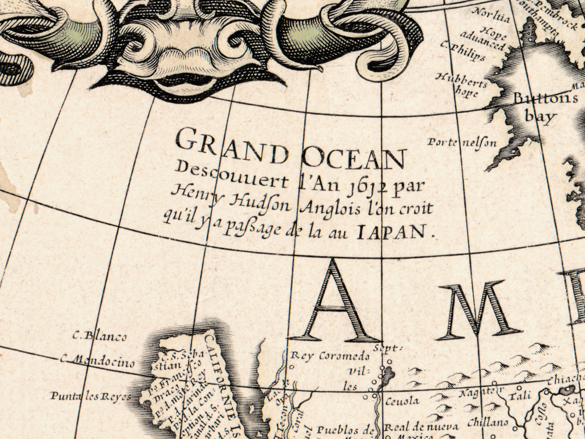
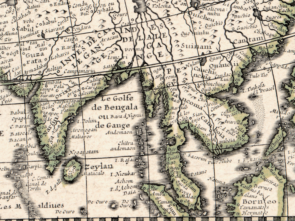
The Library of Congress is specific about this impression, and so are we. It was colored by hand, but lightly and in green only, so the sheet reads as a green and brown drawing rather than the four-color atlas page a later century would have made of it. It is mounted on cloth, with pin holes in all four corners: this map hung somewhere before it reached a library. None of that was retouched away.
Danckerts and Tavernier
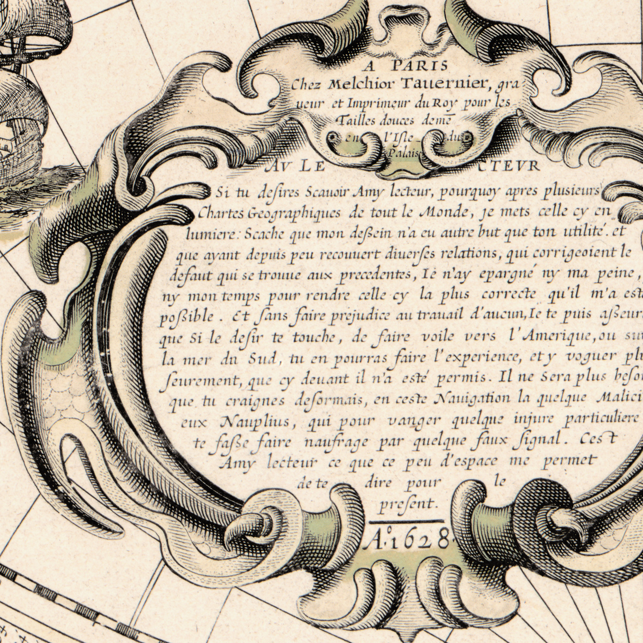
The record names two cartographers: Cornelis Danckerts, who died around 1656, and Melchior Tavernier, 1594 to 1665. The imprint is Tavernier's and gives him as engraver and printer to the king, working on the Ile du Palais. Who cut this plate, and by what process, the record does not say, and we do not guess for it.
Your file
| Original | Cornelis Danckerts and Melchior Tavernier, printed by Tavernier, Paris, 1628 |
| Sheet | 56 × 96 cm, two hemispheres of 45 cm, assembled from two sheets |
| Scan | full sheet 11194 × 6634 px; the map inside the trimmed border 11015 × 6252 px. From the library's own scan, not an upscale |
| Print size at 300 dpi | the map prints to 93 cm (37 in), the full sheet with margins to 94 cm (37 in) |
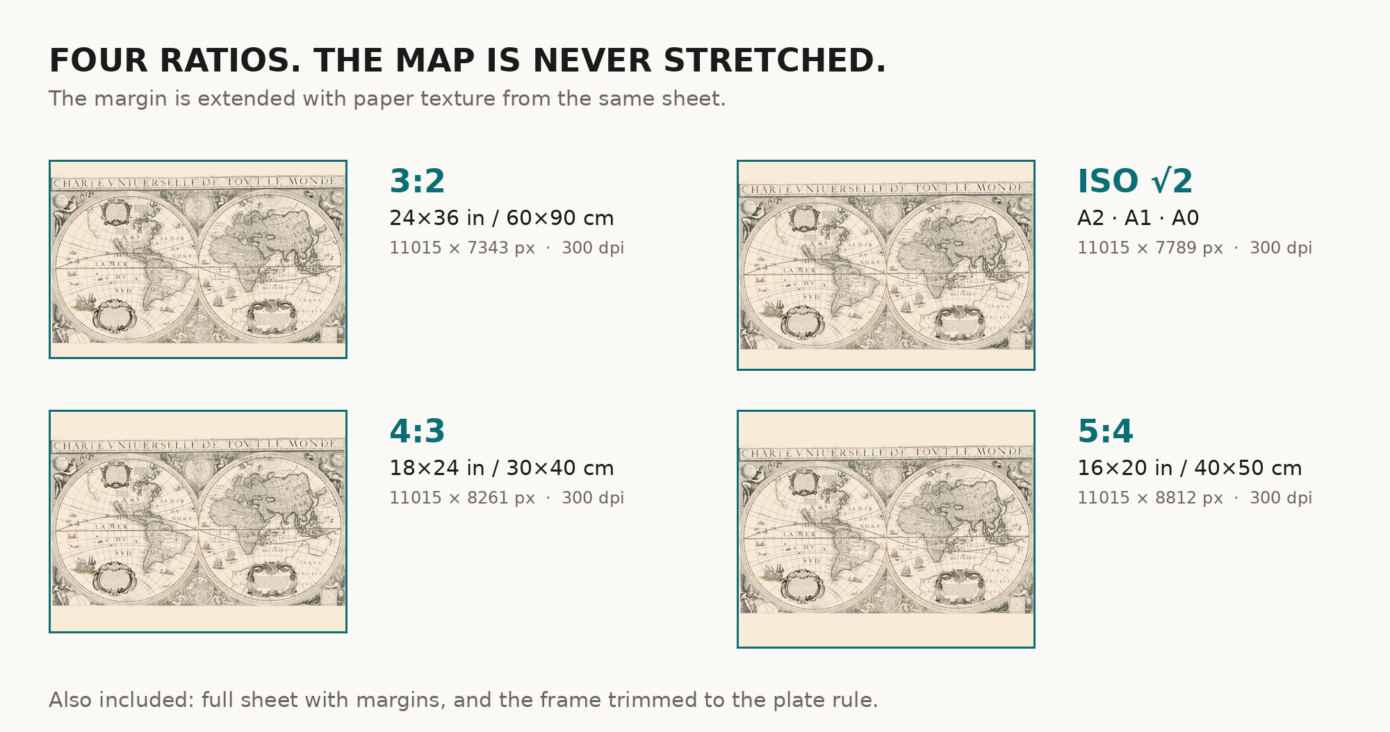
| You download | six ZIP archives: full sheet, trimmed, 3:2, 4:3, 5:4 and ISO A |
| Inside each one | one JPEG at 300 dpi, the restoration passport as a PDF, a READ ME |
How to print
- Pick the archive whose proportions match your frame, so nothing is cropped or stretched.
- At this width ask for a single sheet rather than a join, on matte fine-art paper in sRGB, auto-enhancement off.
- Where to print it: print shops near you and checked prices at online labs.
Source and rights
Library of Congress, Geography and Map Division, call number G3200 1628 .D3, LCCN 2017585786. The Library states the content is free to use and reuse, crediting Library of Congress, Geography and Map Division. There is no TIFF master in the package. Catalogue record: Library of Congress →
Questions
What exactly do I get after paying?
Six ZIP archives, each with one JPEG at 300 dpi, a restoration passport as a PDF and a READ ME. They differ only in framing.
How large can I print it?
At 300 dpi the map comes to 93 cm on the long side, the full sheet with margins to 94 cm — measured on the file you receive.
Is this a real antique map or a generated image?
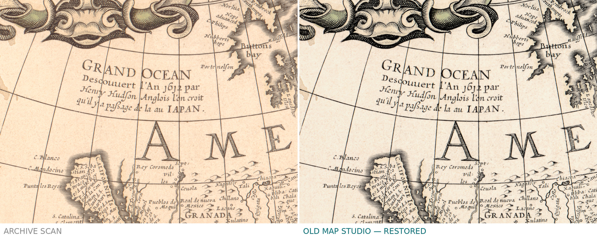
A scan of a real sheet of 1628 held by the Library of Congress under call number G3200 1628 .D3. Restoration evens the paper tone; it does not redraw the map.
Features
- French
Attachments
Reviews
No reviews found
See also
-
 Antique World Map 1800 — Wallis, A New Map of the World
-
Antique World Map 1652 — Sanson, L'Hydrographie
-
Antique World Map 1870 — Barber, Pharmaceutical Map
-
Antique World Map 1811 — Van Schaack, Most Recent Discoveries
-
Antique World Map 1848 — Johnston, Zoological Geography
-
Antique World Map 1550 — Münster, Typus Orbis Universalis