Antique World Map 1602 — Mercator & Hondius, Orbis Terrae

Description
An antique world map from Paris, 1602
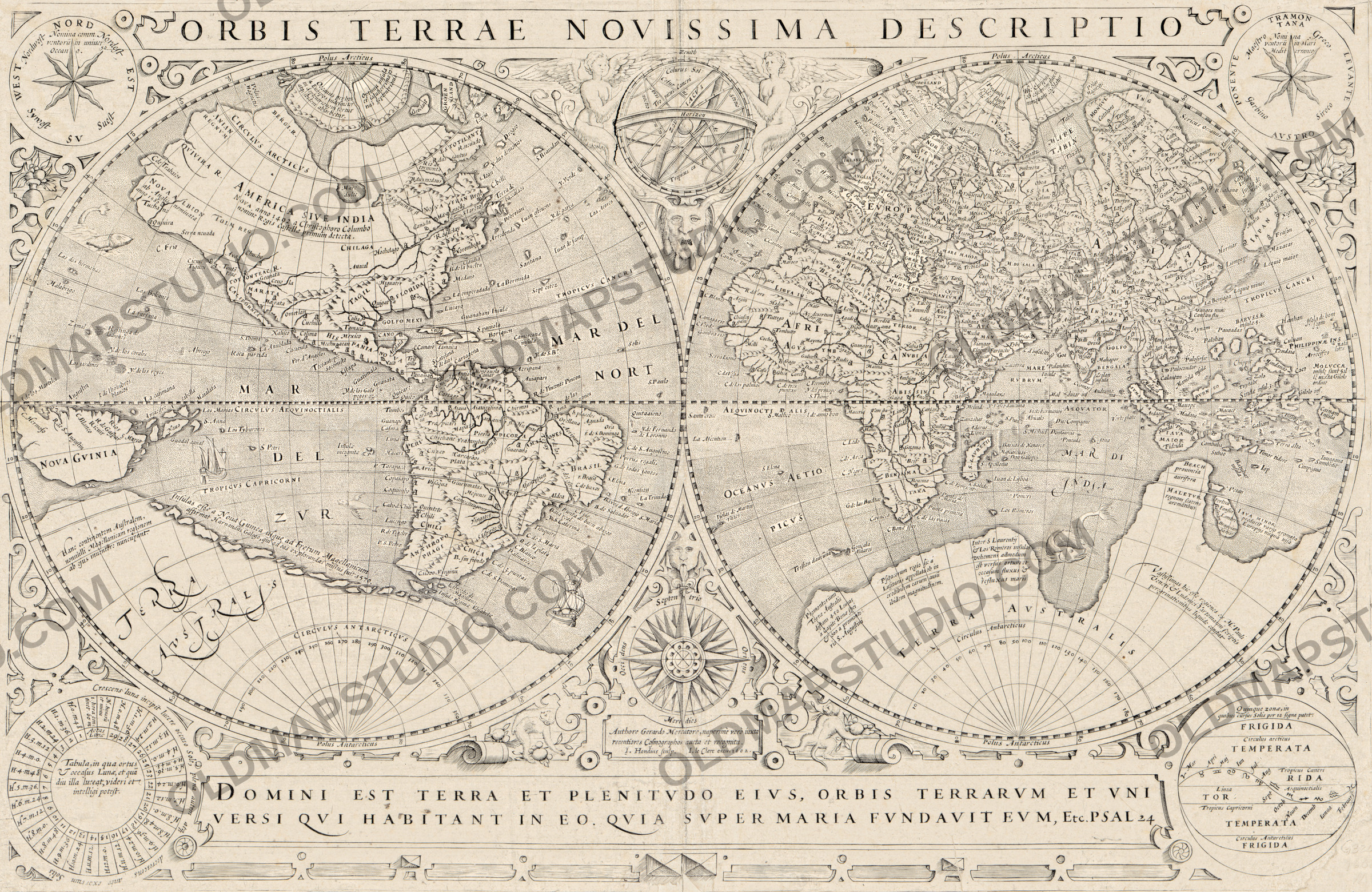
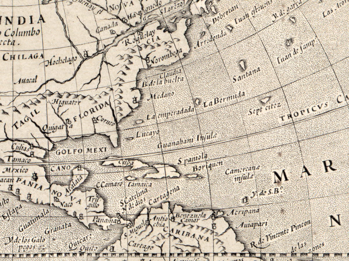
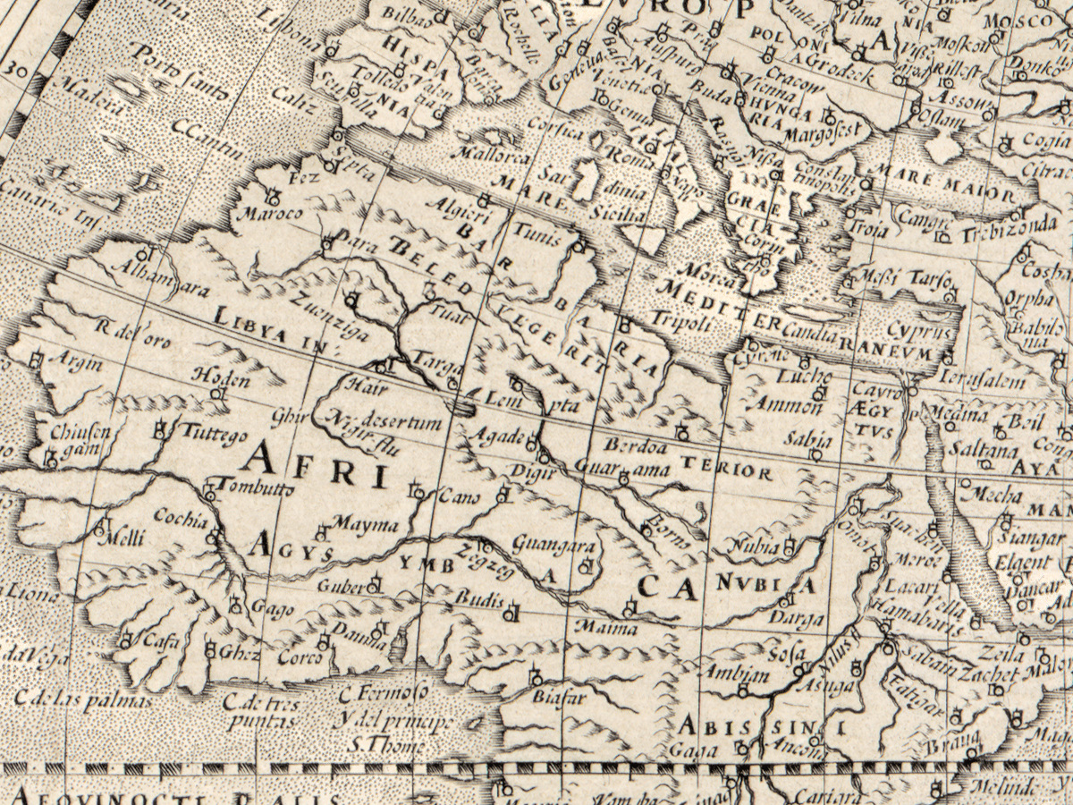
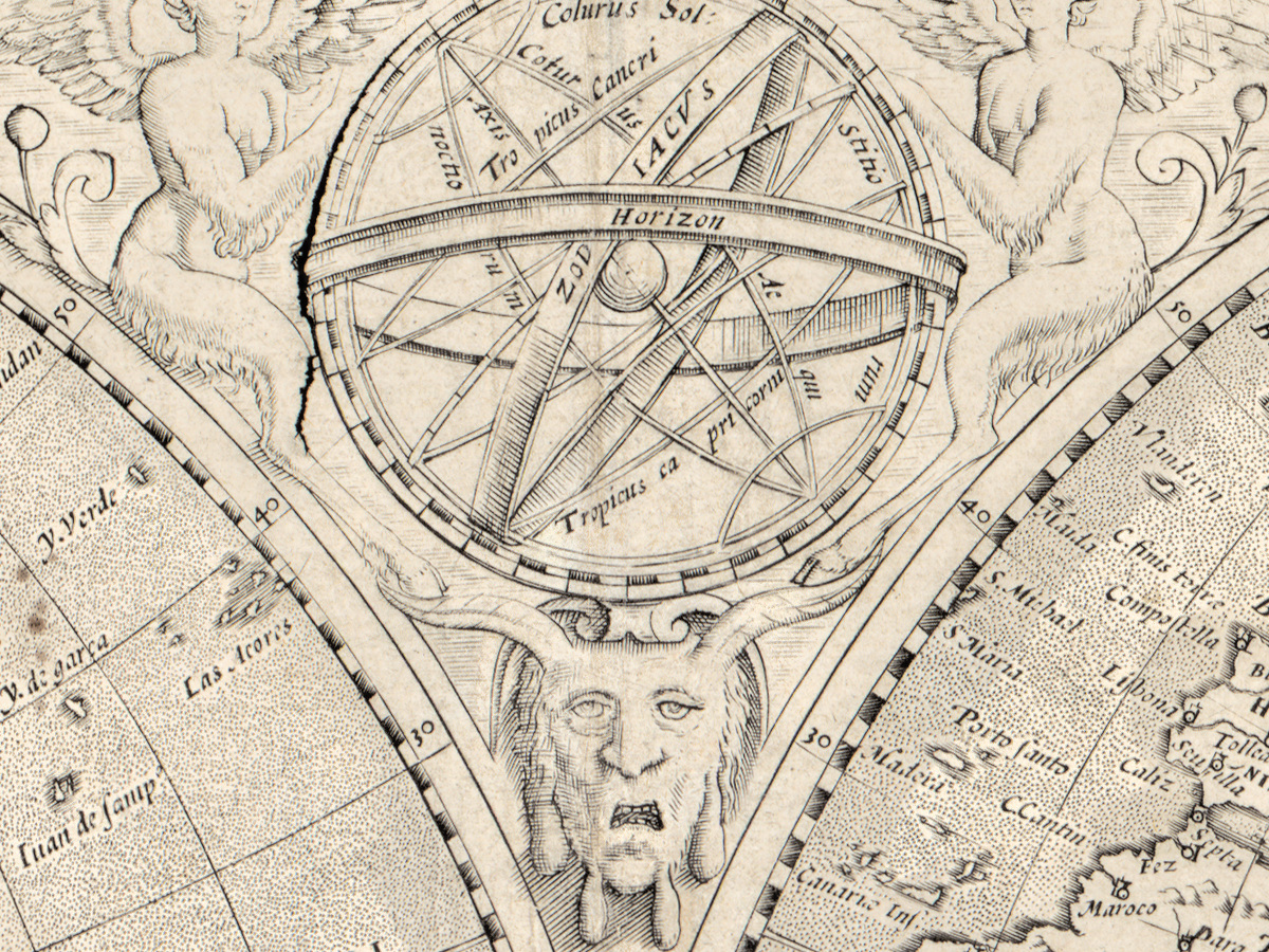
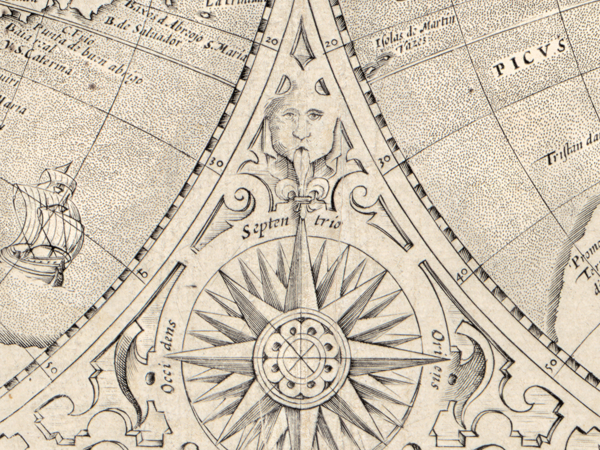
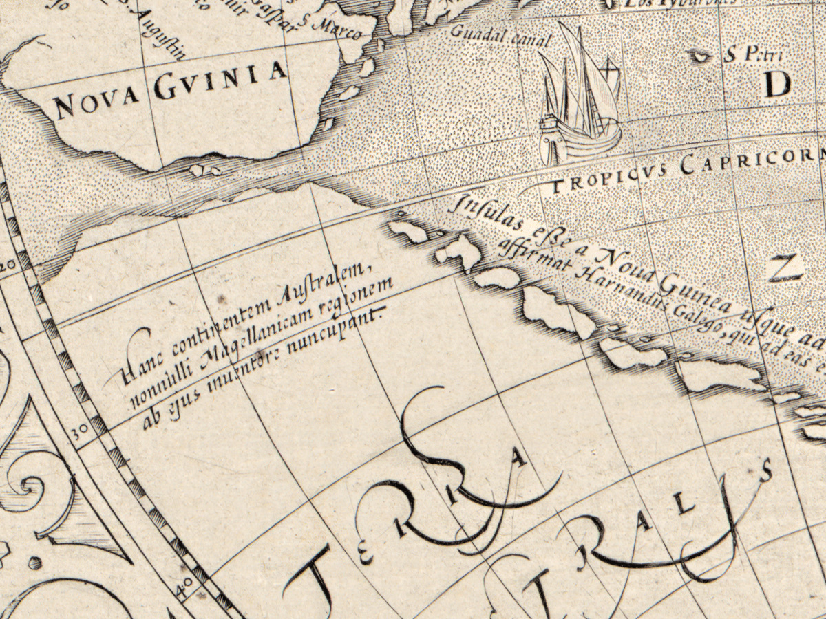
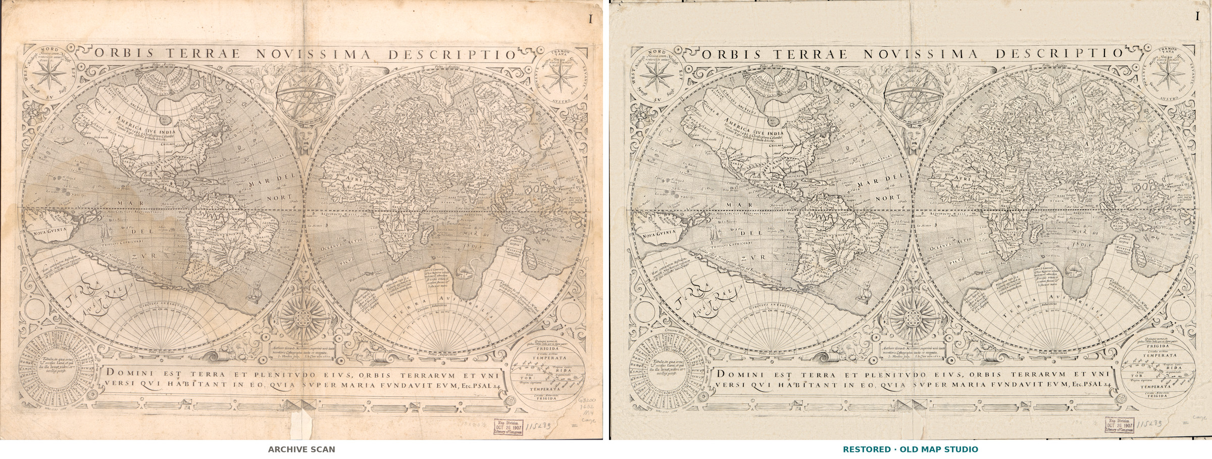
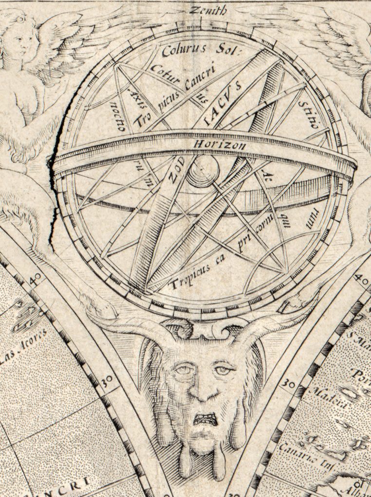
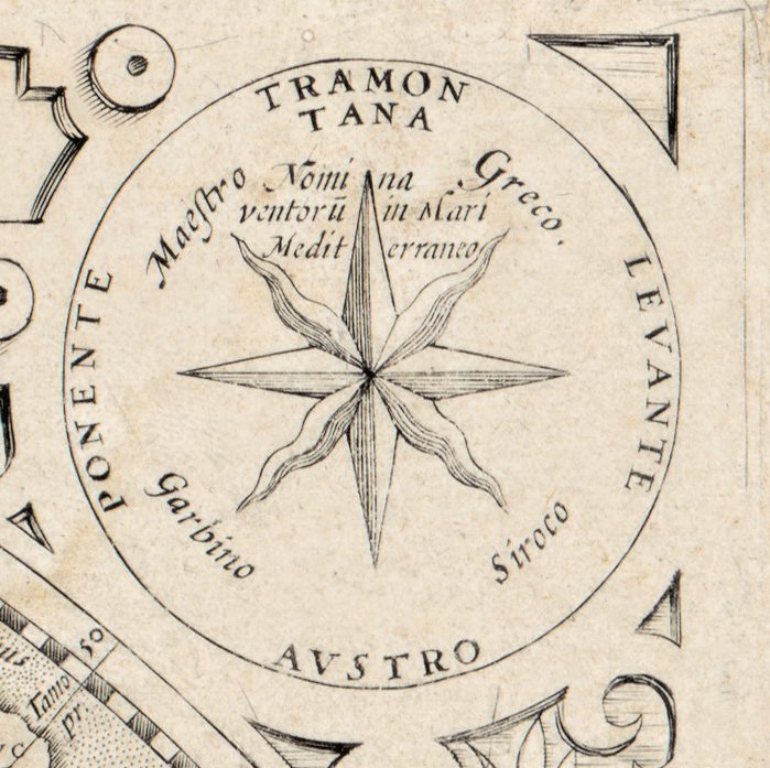
Two hemispheres, each 25 cm across, fill the middle of this sheet, and diagrams crowd around them. The Library of Congress record lists two wind charts, a compass rose, a lunar chart, the climatic zones and an armillary sphere, with notes and illustrations. The Latin title, Orbis terrae novissima descriptio, promises “the newest description of the world”; the record places the sheet in Paris in 1602, with the publisher Jean Le Clerc.
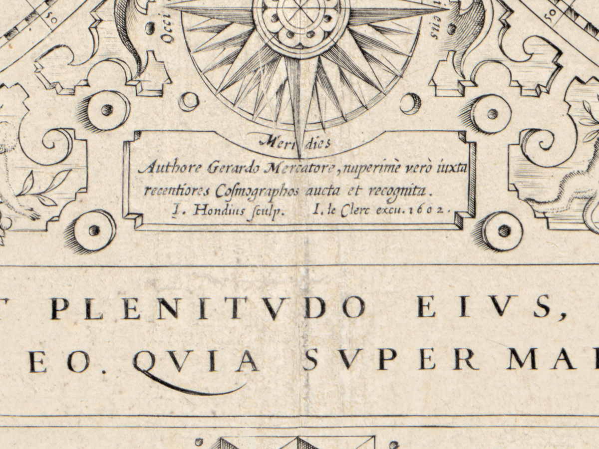
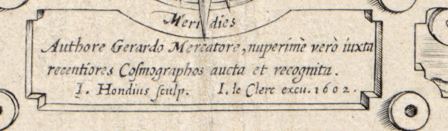
Three names stand behind it. The record gives Gerard Mercator (1512–1594) as cartographer, Jodocus Hondius (1563–1612) as engraver and Jean Le Clerc as publisher, with place and publisher supplied in brackets by the cataloger. The Bibliothèque nationale de France transcribes the title of its own copy as “Authore Gerardo Mercatore, nupersime vero … aucta et recognita ; J. Hondius sculp.” – by Mercator, but lately enlarged and revised, engraved by Hondius – with the imprint “J. Le Clerc exc., 1602”. The Osher Map Library notes that the map was originally based on a two-hemisphere Mercator world map issued by his son in 1587.
What to look for on the sheet
- Two wind charts; on its own copy Princeton University Library reads the names of the winds in Dutch and Italian.
- A lunar chart, which Princeton describes as the phases of the moon.
- A diagram of the climatic zones.
- An armillary sphere and a compass rose.
- The numeral “I.” in the upper right corner, noted in the Library of Congress record.
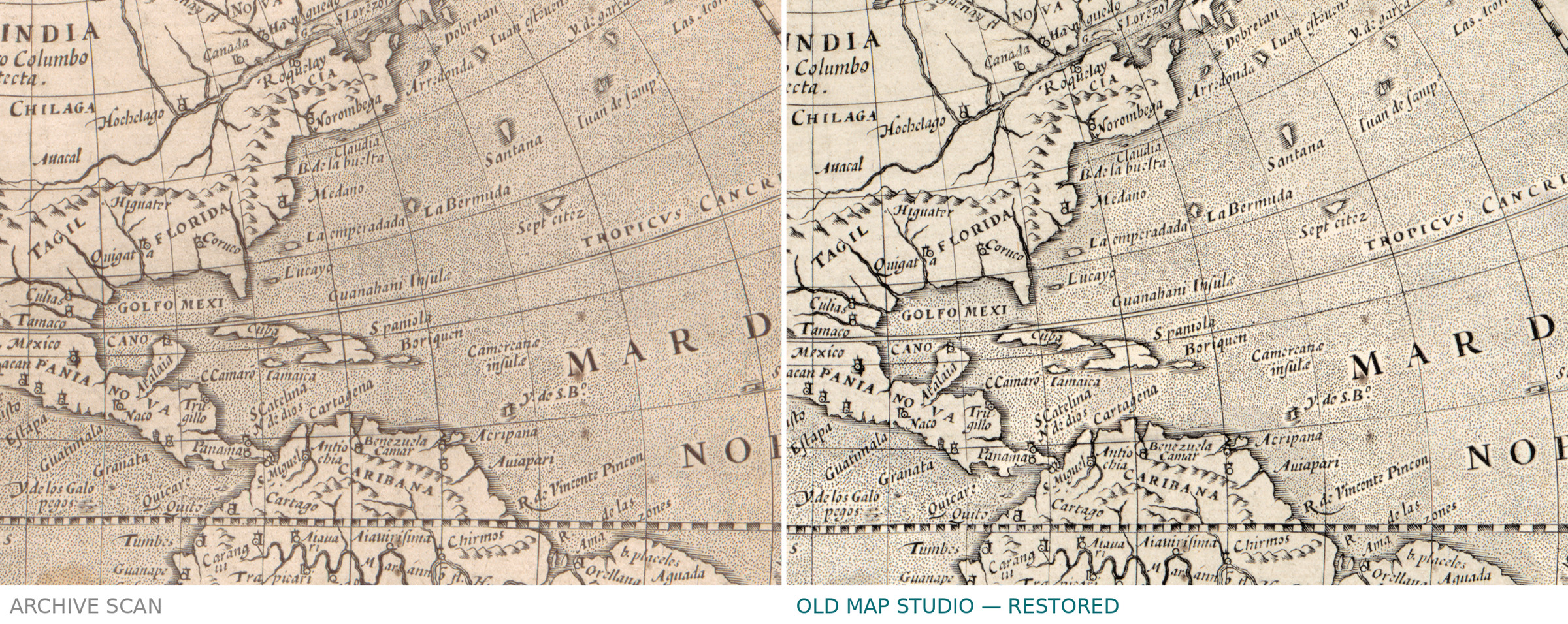
The copy in the reserve collection of the Bibliothèque nationale de France bears the signature “Ph. Buache”, according to its catalog record. The Library of Congress copy, mounted on cloth, is kept under G3200 1602 .M4; your file is made from its scan.
Your file
| Original | Paris, 1602, Library of Congress G3200 1602 .M4; two hemispheres of 25 cm on a sheet of 45 × 54 cm |
| Scan | full sheet 6353 × 4642 px; the map inside the trimmed border 6070 × 3945 px |
| Print size at 300 dpi | the map prints to 51 cm (20 in), the full sheet with margins to 53 cm (21 in) |
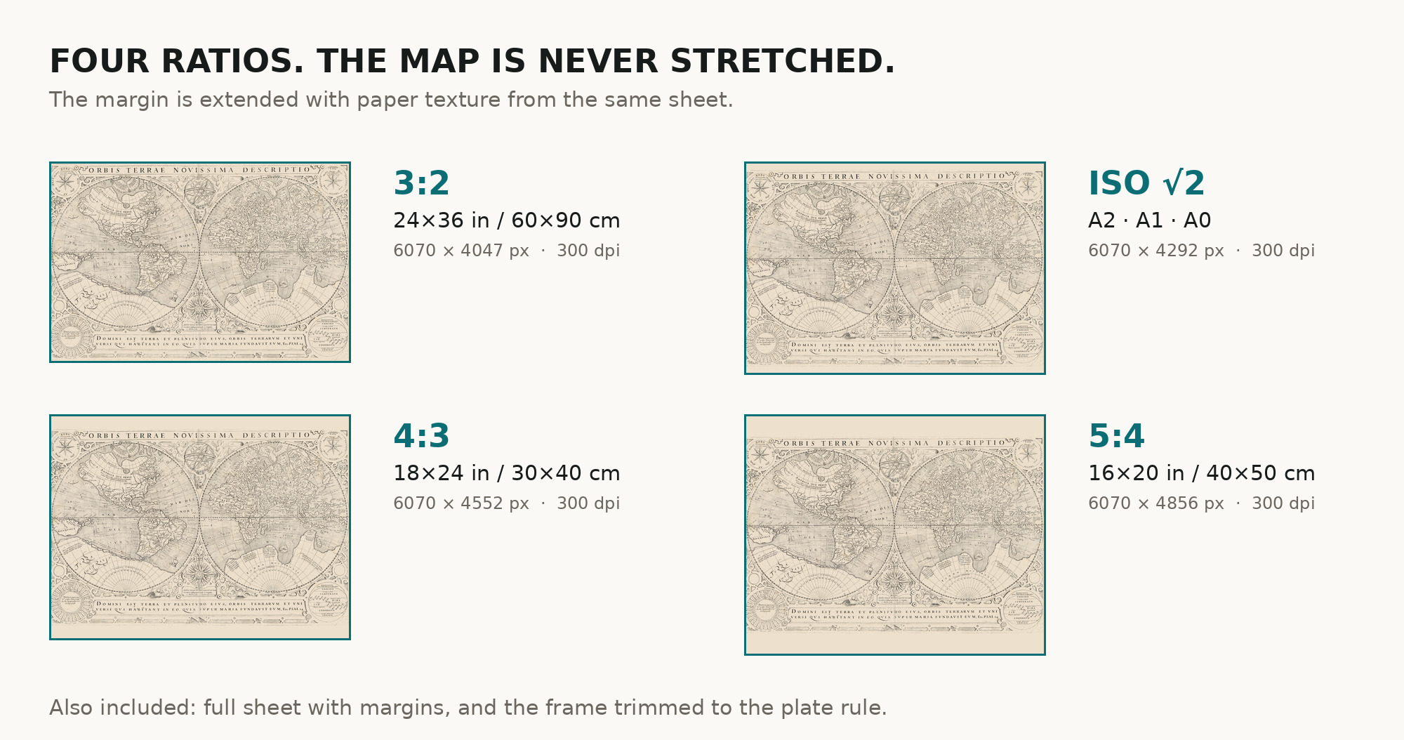
| You download | six ZIP archives: full sheet, trimmed, 3:2, 4:3, 5:4 and ISO A |
| Inside each one | one JPEG at 300 dpi, the restoration passport as a PDF, a READ ME |
How to print
- At 300 dpi the map prints to 51 cm. Pick the archive whose proportions match your frame; ask for matte fine-art paper in sRGB with auto-enhancement off.
- Where to print it: print shops near you and checked prices at online labs.
Source and rights
The file is made from the Library of Congress scan; the Geography and Map Division states that its digitized collections are free to use and reuse. The record names the engraver, Jodocus Hondius, but neither the printing technique nor any coloring of this copy. There is no TIFF master in the package. Catalogue record: Library of Congress →
Features
- Latin
Attachments
Reviews
No reviews found
See also
-
 Antique World Map 1807 — Hansteen, Abweichungskarten
-
Antique World Map 1710 — Hōtan, Nansenbushū Bankoku Shōka
-
Antique World Map c. 1816 — Elizabeth Knight, Map of the World
-
Antique Map of Asia c. 1150 — Jerome Map, Miller Facsimile 1895, Plate 11
-
Antique World Map 1826 — Tanner, Terra Veteribus Nota
-
Antique World Map c. 1190 — Sawley Map, Miller Facsimile 1895, Plate 13