Antique World Map c. 1488 — Le Rouge, La mer des hystoires
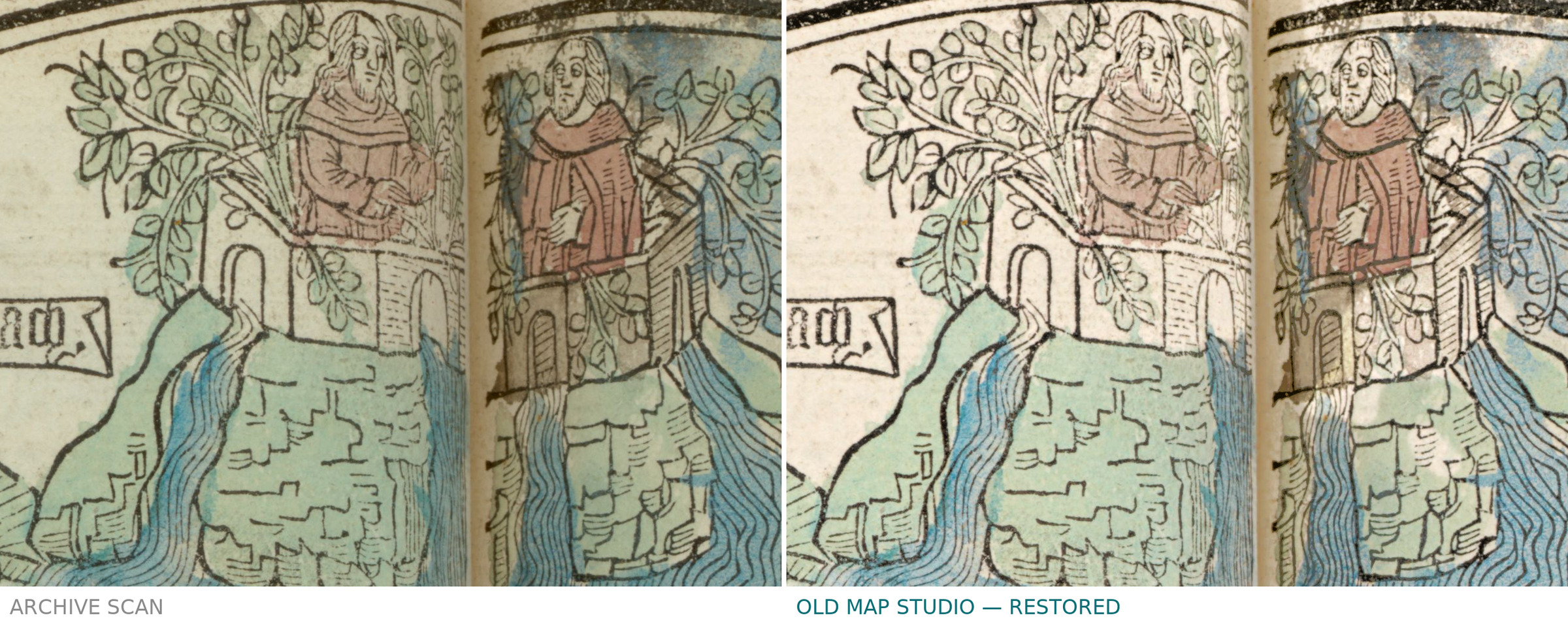
Description
An antique circular world map from Paris, c. 1488
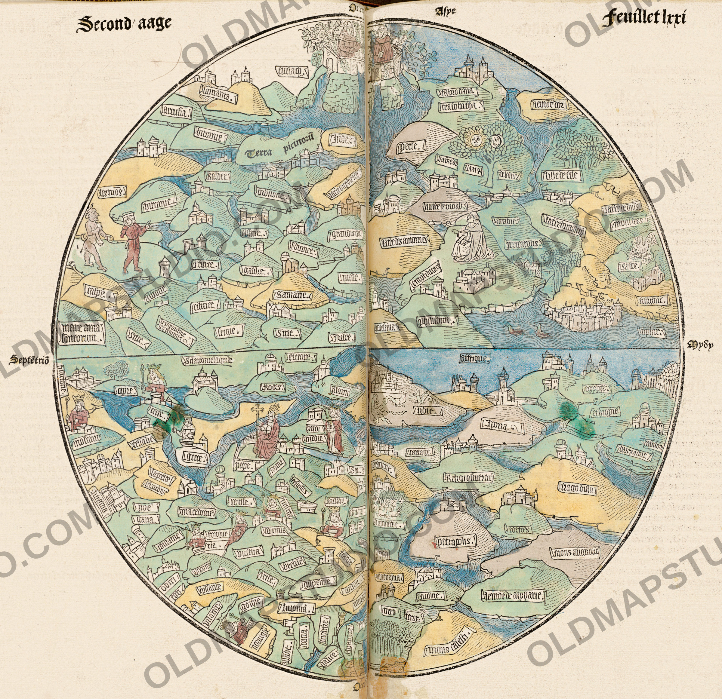
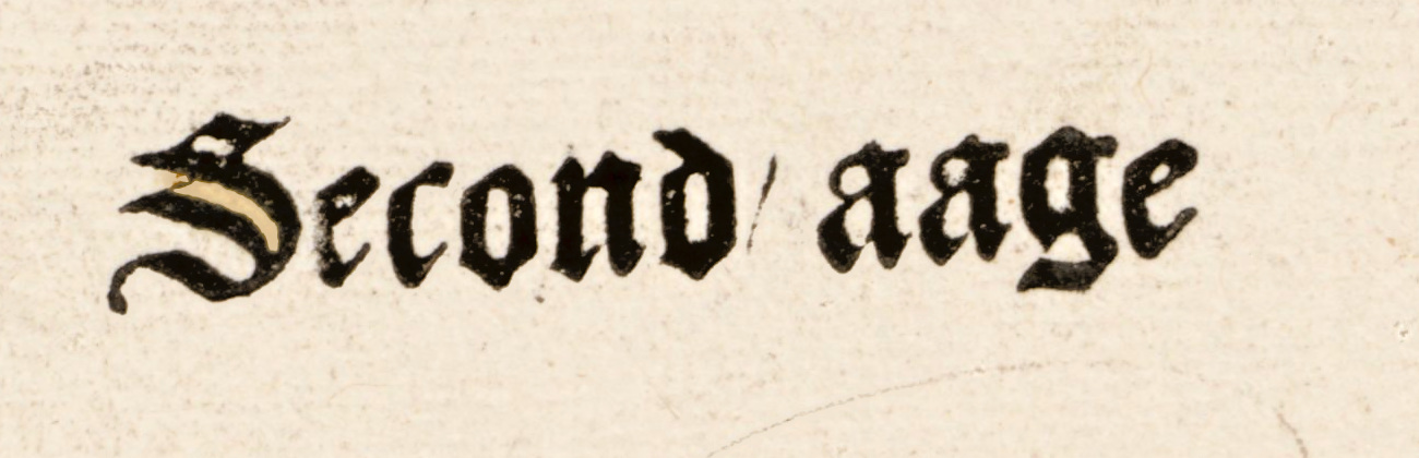
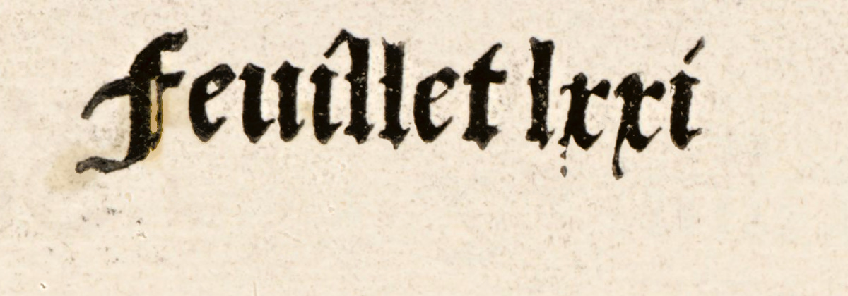
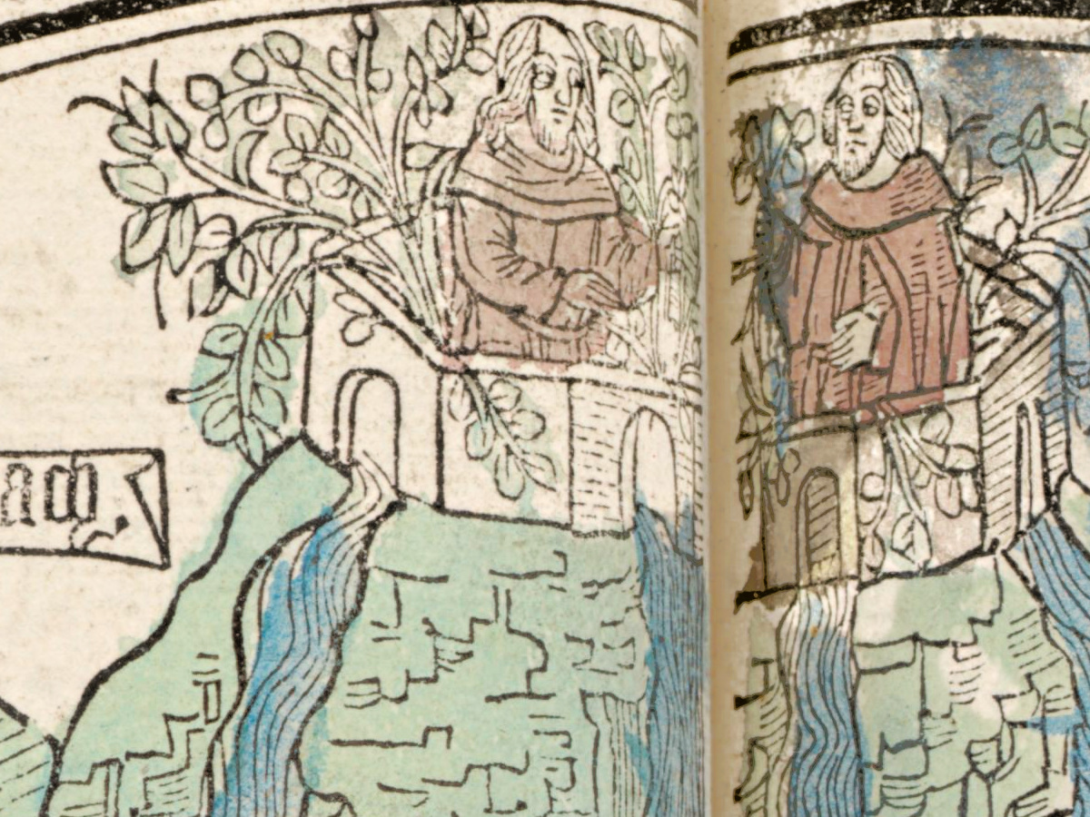
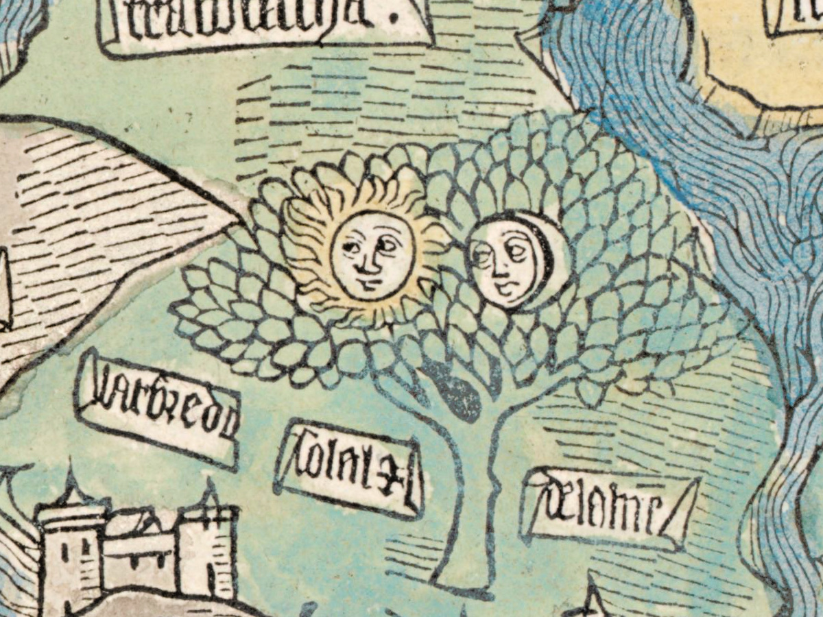
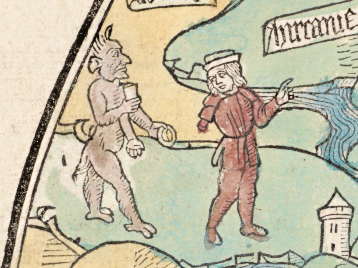
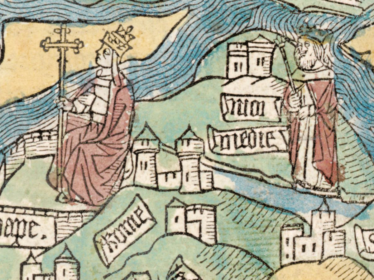
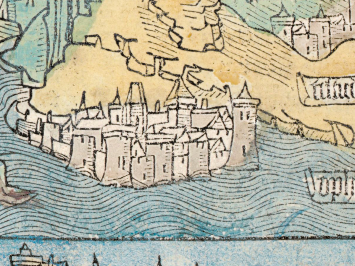
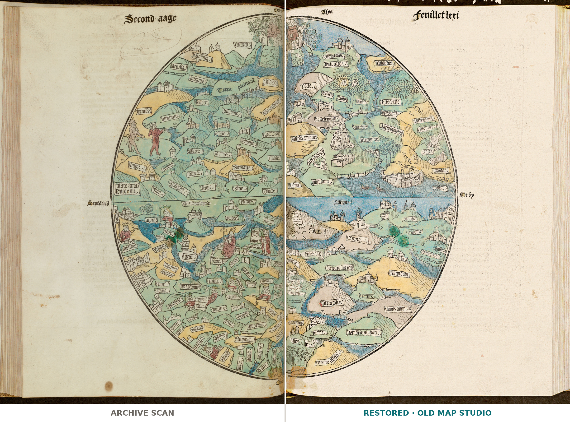
This round map of the world comes from leaf lxxi of La mer des hystoires, a book printed in Paris in 1488. Boston Public Library catalogs it under the name of the printer Pierre Le Rouge, who died in 1493, with the date [1488–1489] – the date is inferred – and describes it as hand colored, on a leaf of 63 × 41 cm.
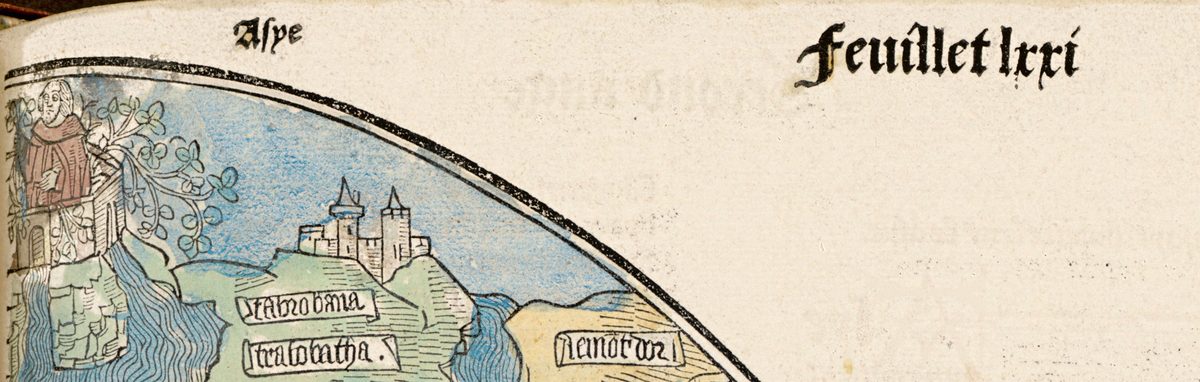
The design goes back to an earlier book. The library’s record links this map to the 1475 Latin edition of the Rudimentum novitiorum and notes that the circular world map that appeared there and in its subsequent French translations “is considered the first printed map of the world.” The Rosenbach in Philadelphia, which keeps a copy of that 1475 book, says it was printed in Lübeck by Lucas Brandis and calls its map “the first printed world map (excluding very simple T-O diagrams of the earth).” In the Lübeck book the map is printed from two half-circle woodcuts, one on each page, with east rather than north at the top and Jerusalem at the center; the Rosenbach notes that priority is given to the spiritual importance of a place.
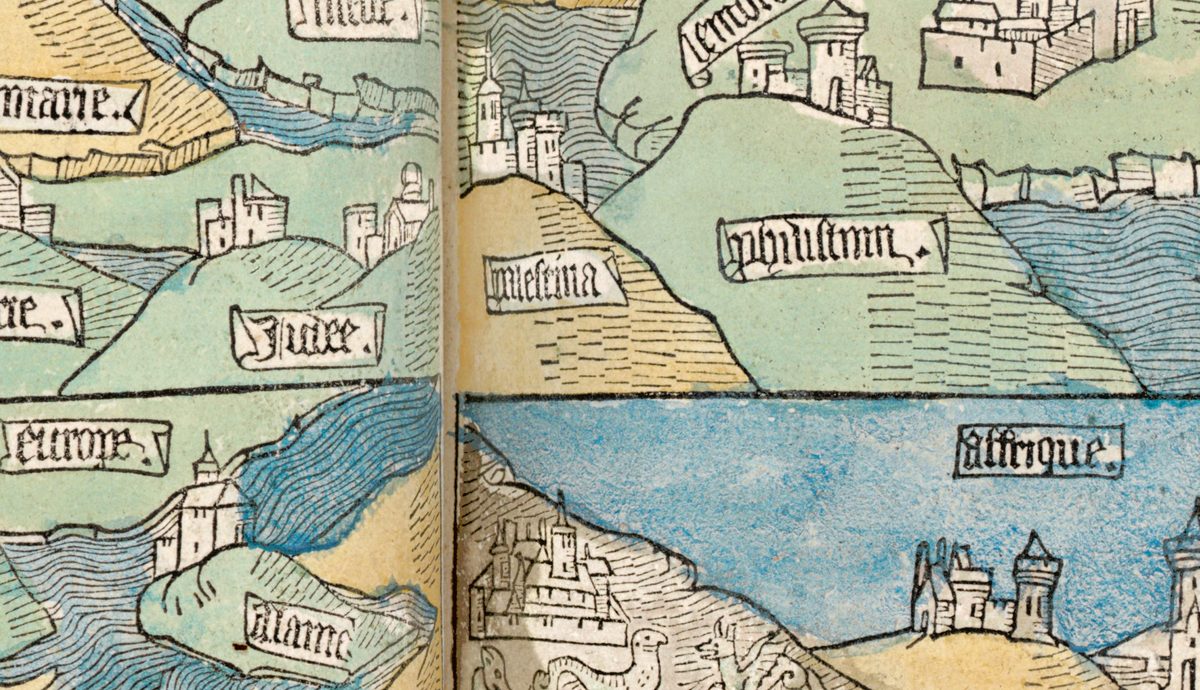
Boston Public Library keeps this leaf in its Rare Books Department as Q.402.51. The Norman B. Leventhal Map Center exhibited it in 2006 and again in 2018–2019, and the record cites the standard incunable bibliographies, including ISTC ir00346000, Goff, Copinger and Campbell’s Early maps, pp. 215–216. It carries no known copyright restrictions, and your file is made from the library’s digitized image.
Your file
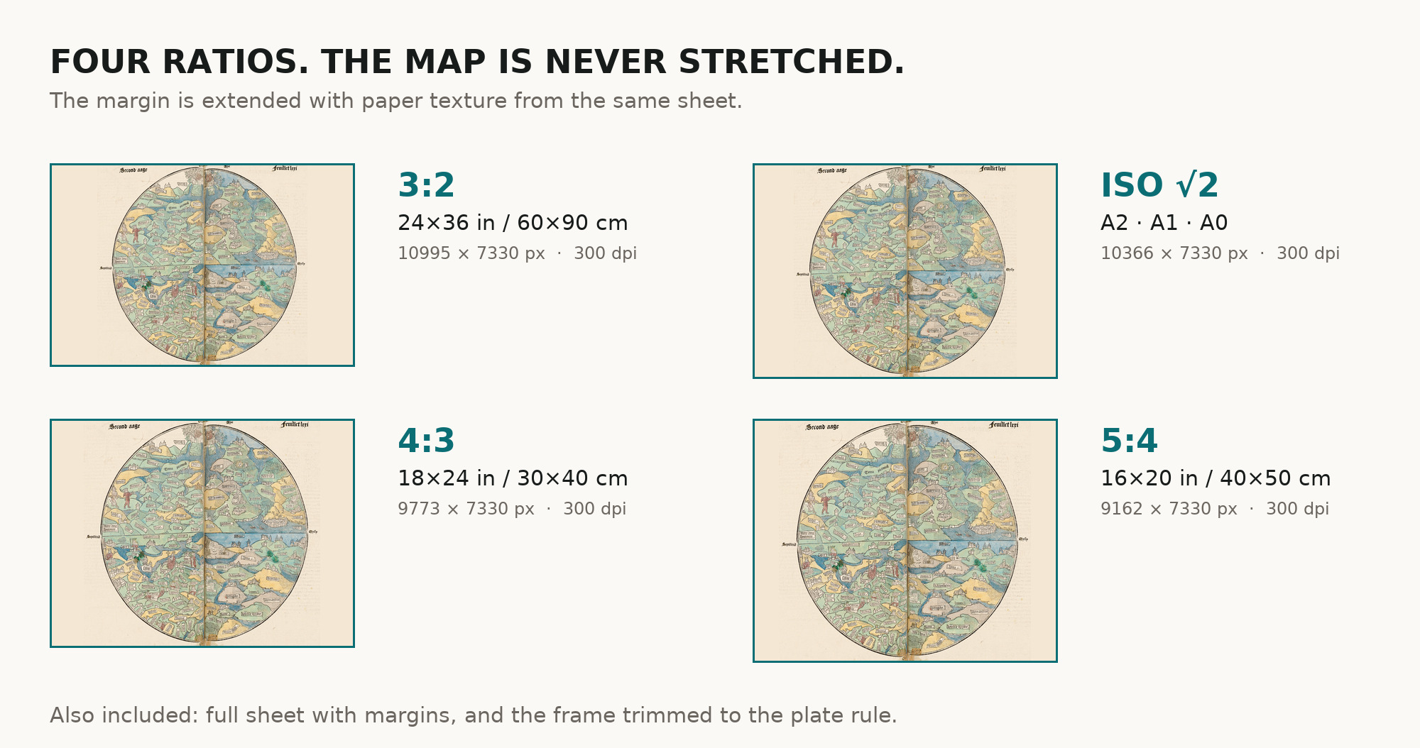
| Original | leaf lxxi of La mer des hystoires, [Paris], [1488–1489], Boston Public Library Q.402.51; hand colored, leaf 63 × 41 cm |
| Scan | full leaf 10880 × 7720 px; the round map inside the trimmed border 7568 × 7330 px |
| Print size at 300 dpi | the map prints to 64 cm (25 in), the full leaf with margins to 92 cm (36 in) – the difference is the rest of the book leaf around the round map |
| You download | six ZIP archives: full sheet, trimmed, 3:2, 4:3, 5:4 and ISO A |
| Inside each one | one JPEG at 300 dpi, the restoration passport as a PDF, a READ ME |
How to print
- At 300 dpi the round map prints to 64 cm. The trimmed archive gives the map alone; the full-sheet archive keeps the whole book leaf. Ask for matte fine-art paper in sRGB with auto-enhancement off.
- Where to print it: print shops near you and checked prices at online labs.
Source and rights
The file is made from Boston Public Library’s digitized image of Q.402.51, for which the library states no known copyright restrictions. The record calls the leaf hand colored; it does not name the printing technique of this Paris leaf. There is no TIFF master in the package. Catalogue record: Leventhal Map & Education Center →
Features
- French
Attachments
Reviews
No reviews found
See also
-
 Antique World Map c. 1867 — Drioux, Planisphère
-
Antique World Map 1826 — Tanner, Terra Veteribus Nota
-
Old World Map — Leipzig Mappa Mundi, Jomard Facsimile
-
Antique World Map c. 1816 — Elizabeth Knight, Map of the World
-
Antique World Map 1708 — De la Feuille, Mapemonde Planisphere
-
Antique World Map 1807 — Hansteen, Abweichungskarten