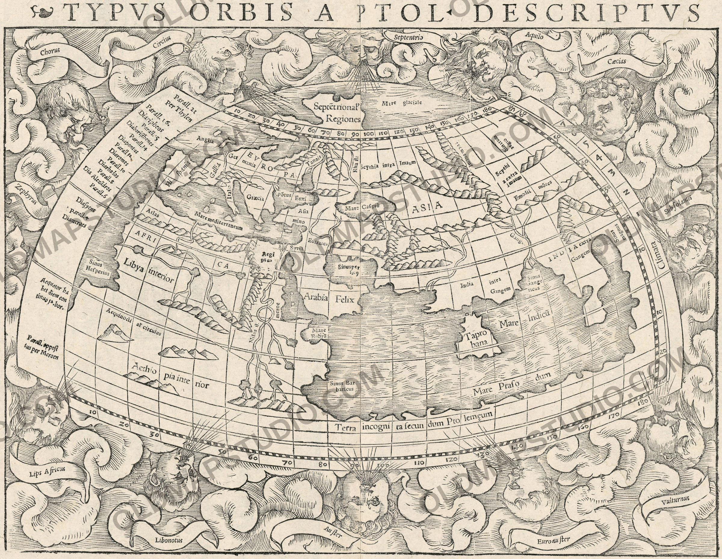
Antique World Map 1540 — Münster, Typvs Orbis a Ptol. Descriptus
ICGCRM240539

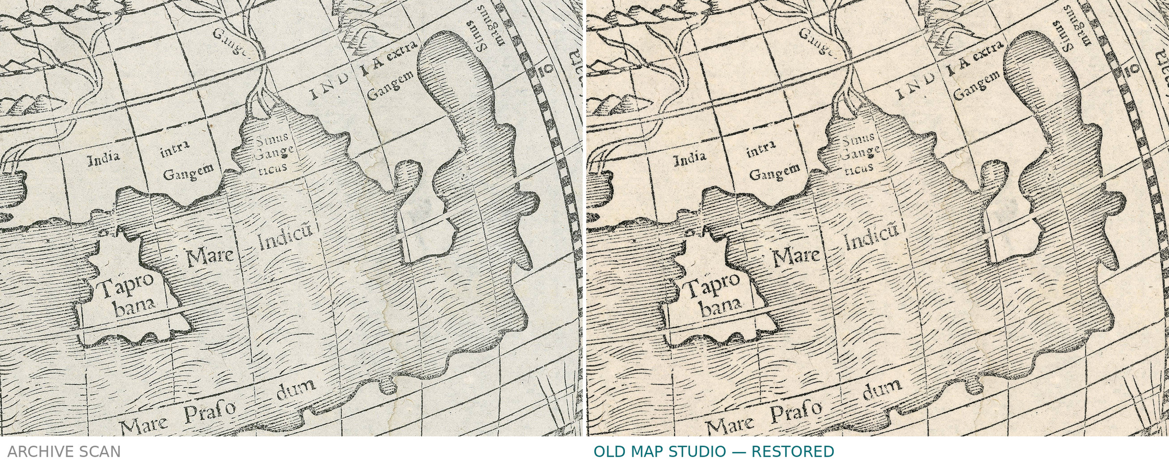
Description
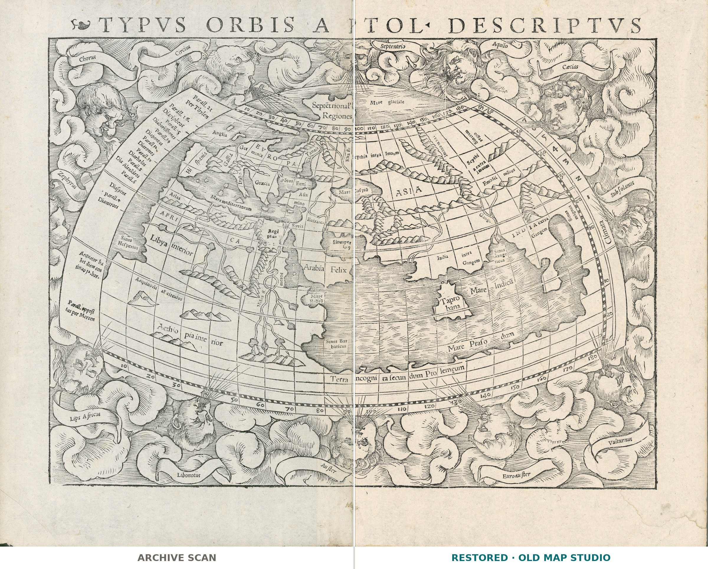
An old world map of the world Ptolemy described
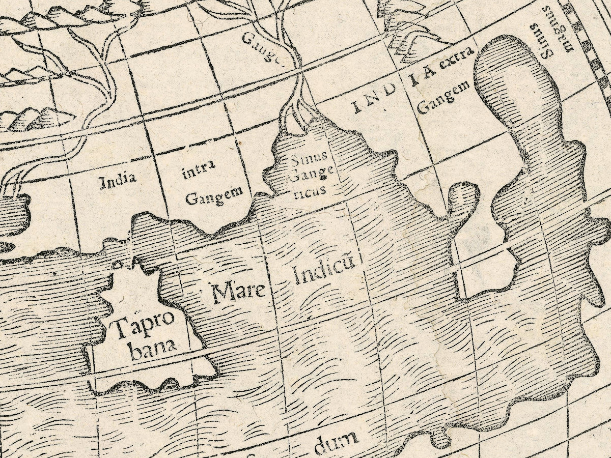
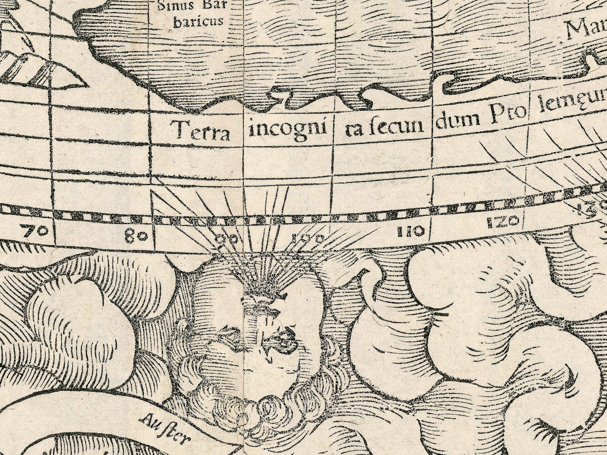
Typvs orbis a Ptol. descriptus — the world as Ptolemy described it — is a single sheet from Sebastian Münster's Geographia universalis, printed in Basel by Heinrich Petri in 1540. The sheet measures 31 × 40 cm, and on its back runs a Latin text that begins Descriptio orbis generalis, ut a Ptolemeo situs…. This impression carries no coloring, and the record names neither a coloring nor a printing technique, so neither do we.
Your file
| Original | Sebastian Münster, printed by Heinrich Petri, Basel, 1540 |
| Sheet | 31 × 40 cm, from Geographia universalis |
| Print size at 300 dpi | the map prints to 34 cm (13 in), the full sheet with margins to 39 cm (15 in) |
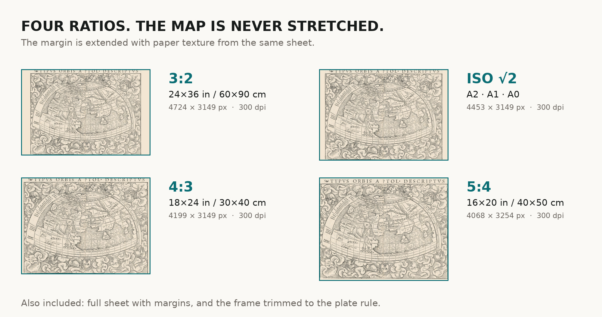
| You download | six ZIP archives: full sheet, trimmed, 3:2, 4:3, 5:4 and ISO A |
| Inside each one | one JPEG at 300 dpi, the restoration passport as a PDF, a READ ME |
How to print
- Print at 300 dpi at the size above and do not let the shop scale the file up.
- Pick the archive whose proportions match your frame, so nothing is cropped or stretched.
- Where to print it: print shops near you and checked prices at online labs.
Source and rights
Institut Cartogràfic i Geològic de Catalunya, Cartoteca Digital, registry number RM.240539, marked Public Domain Mark 1.0. The archive is named in the passport inside every download. Catalogue record: Cartoteca Digital ICGC →
Every map is a scan of a real sheet held in a named archive — library, shelfmark and year, all stated. Nothing generated, nothing redrawn.
Features
Map details
Century
1500s
Year
1540
Full original title
Typvs orbis a Ptol. descriptus
Place of publication
Basel
Published in
Geographia universalis (H. Petri, Basel, 1540)
Technique
Not stated in the record
Original color
Not stated in the record
Projection and layout
Not stated in the record
Language of the map
- Latin
File & printing
Full sheet width, px
4683
Full sheet height, px
3611
Map at 300 dpi, cm
34
Full sheet at 300 dpi, cm
39
Aspect ratio
1.30
Orientation
Landscape
Provenance & rights
Source archive
Institut Cartogràfic i Geològic de Catalunya
Shelfmark or file ID
RM.240539
Rights
Public domain
Attachments
Reviews
No reviews found
See also
-
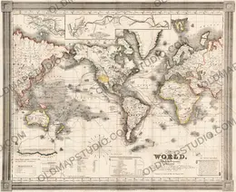
 Antique World Map 1850 — Burr, Mercator's Projection
-
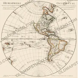
Antique World Map 1724 — Delisle, Hemisphere Occidental
-
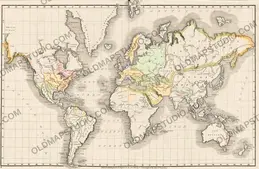
Antique World Map 1839 — Willard, Universal History
-
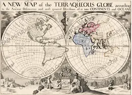
Antique World Map 1700 — Wells, Terraqueous Globe
-
Antique World Map 1752 — Robert de Vaugondy, Orbis Vetus
-
Antique World Map 1778 — Brion de la Tour, Mappemonde