Antique World Map 1550 — Münster, Typus Orbis Universalis

Description
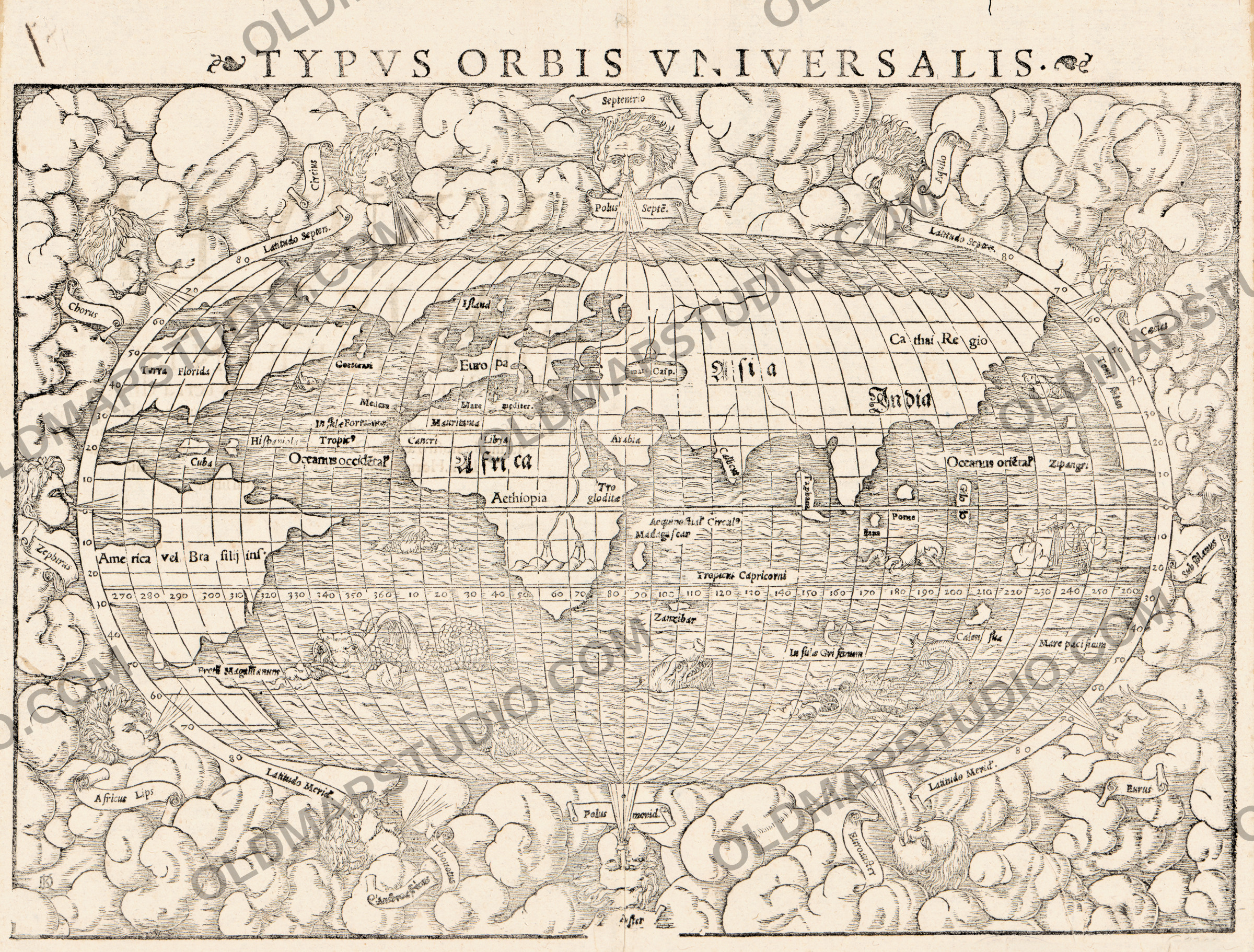
An old world map of 1550 from an edition of Ptolemy
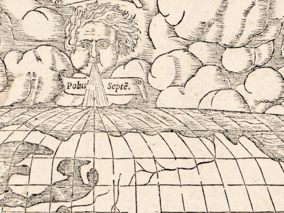
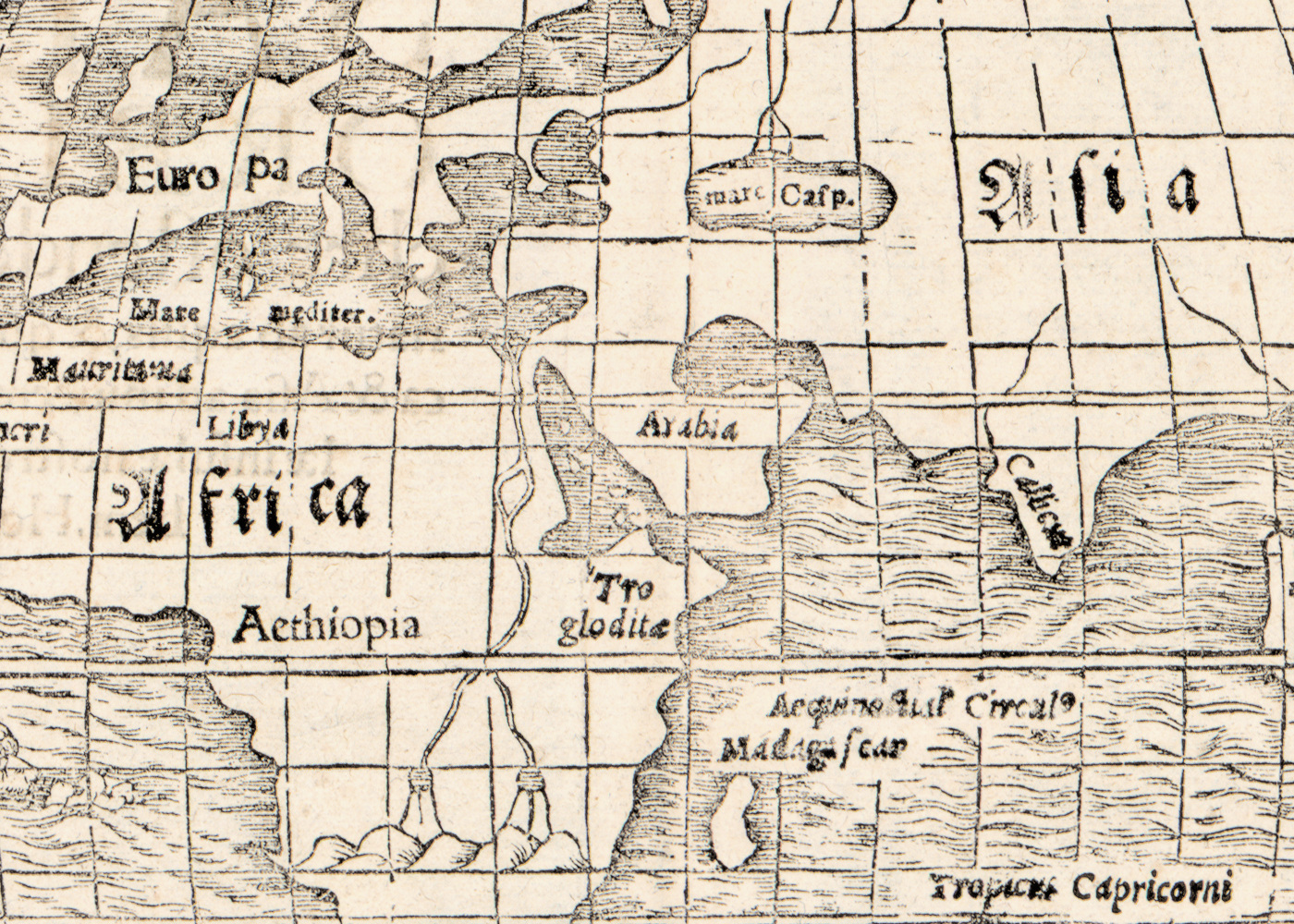
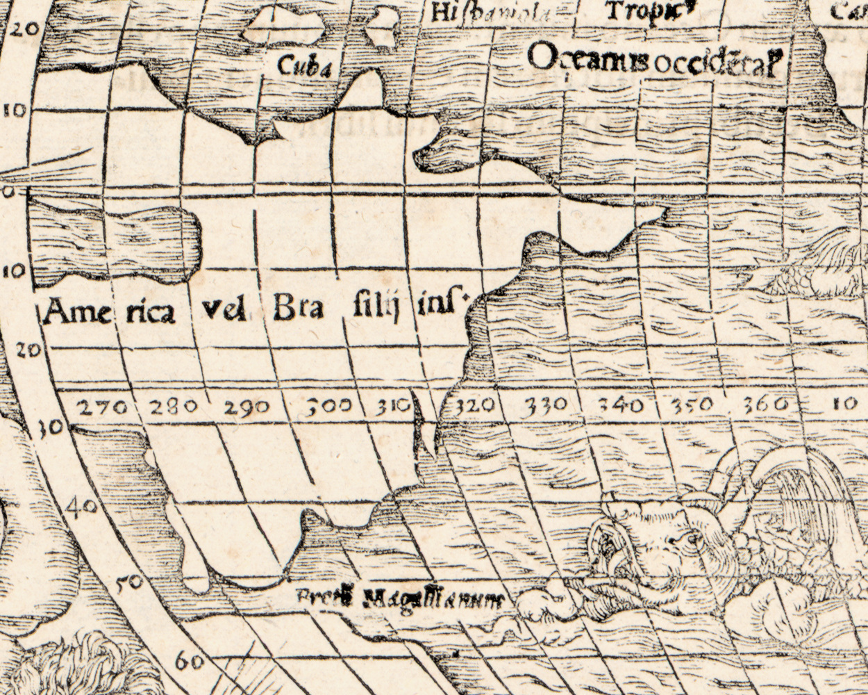
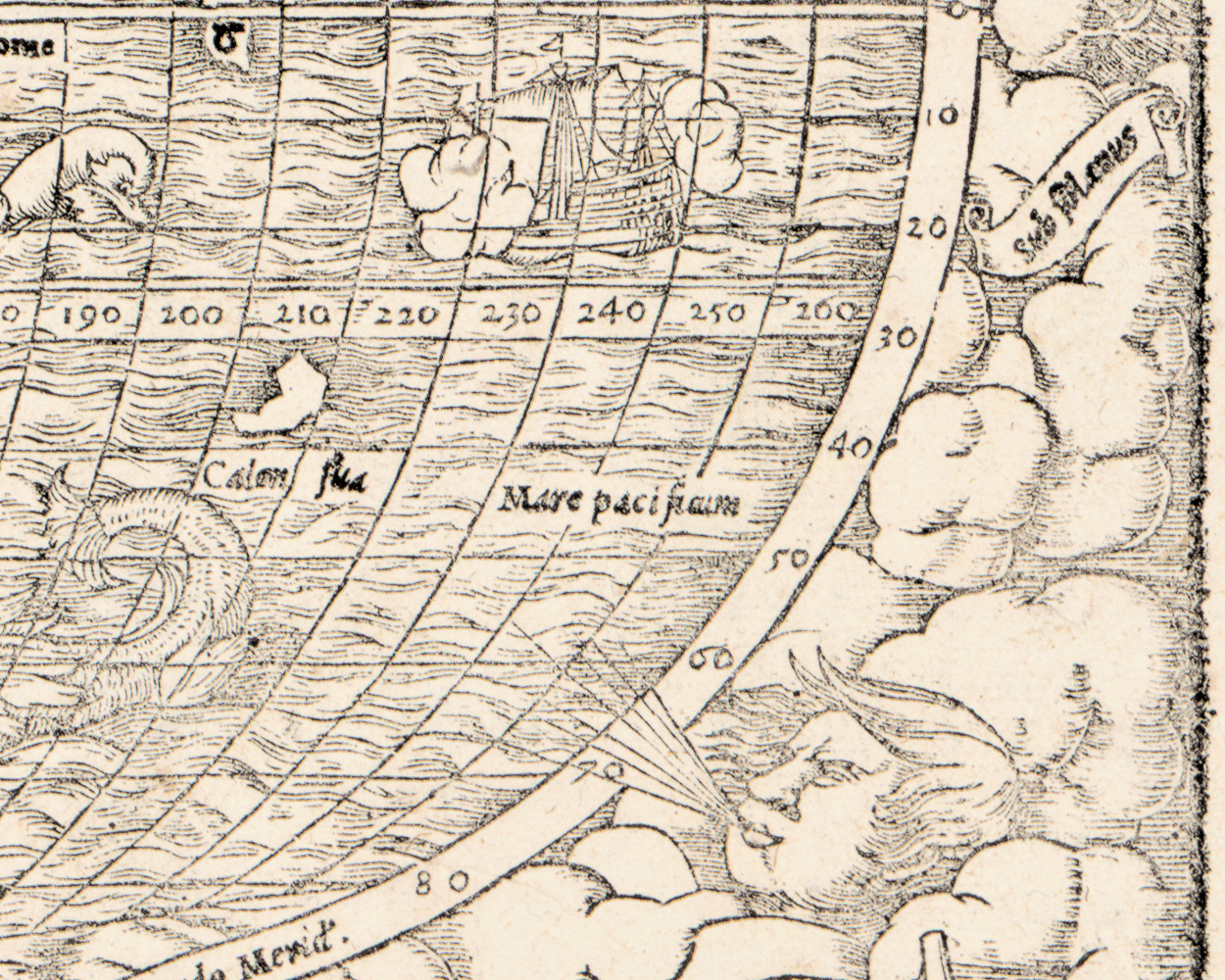
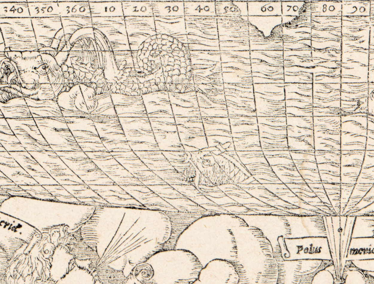
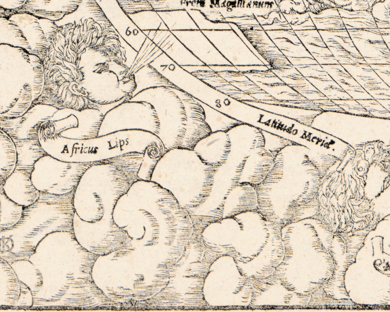
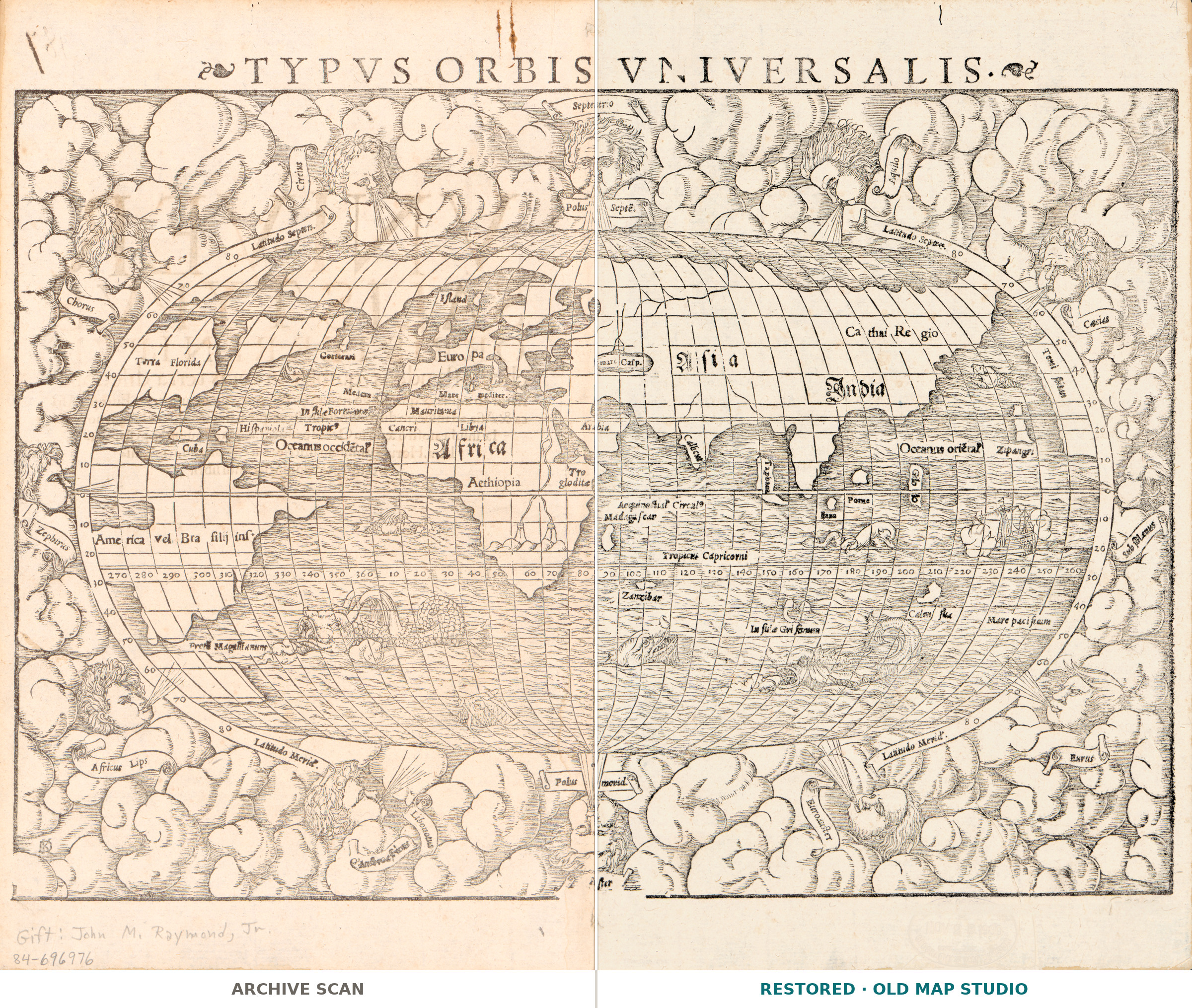
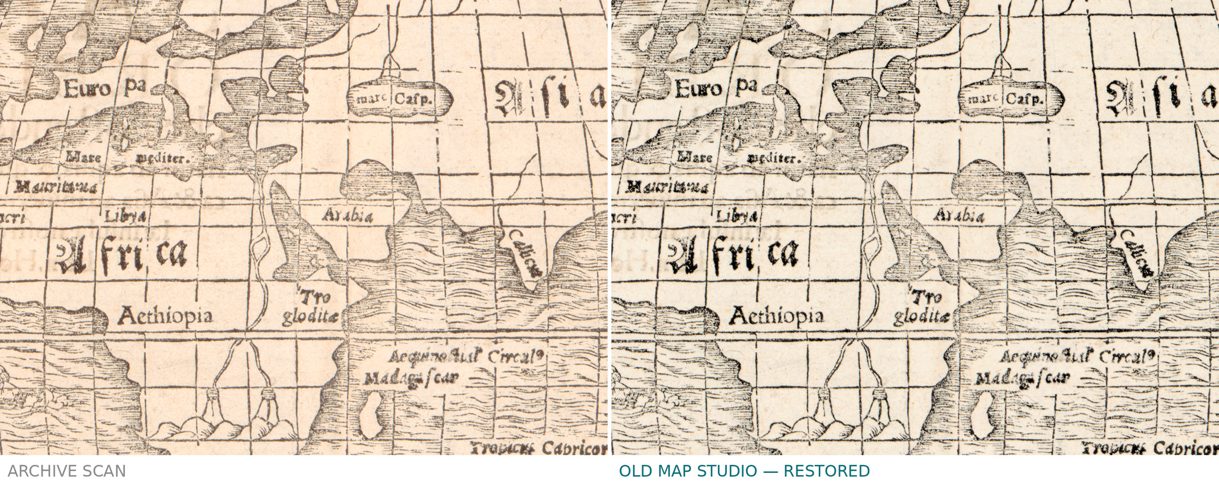
Typus orbis universalis — a representation of the whole world — is Sebastian Münster's world map, and the Library of Congress records this sheet as appearing in Ptolemy's Geographia. Münster, 1489 to 1552, was the Basel Hebraist and mathematician whose editions of Ptolemy and whose own Cosmographia put a world map before more sixteenth-century readers than any other book. The record gives no place of publication and no printer: the entry reads simply [S.l. : s.n., 1550].
The sheet is 27 by 38 cm and lettered in Latin. It is a book leaf and behaves like one: there is printed text on the back, and someone wrote 187 in black ink on the verso of the Library's copy, which keeps it in the vault. The record does not name the technique, so neither do we.
Your file
| Original | Sebastian Münster, 1550, in Claudius Ptolemaeus, Geographia; place and printer not stated |
| Sheet | 27 × 38 cm, text on the verso |
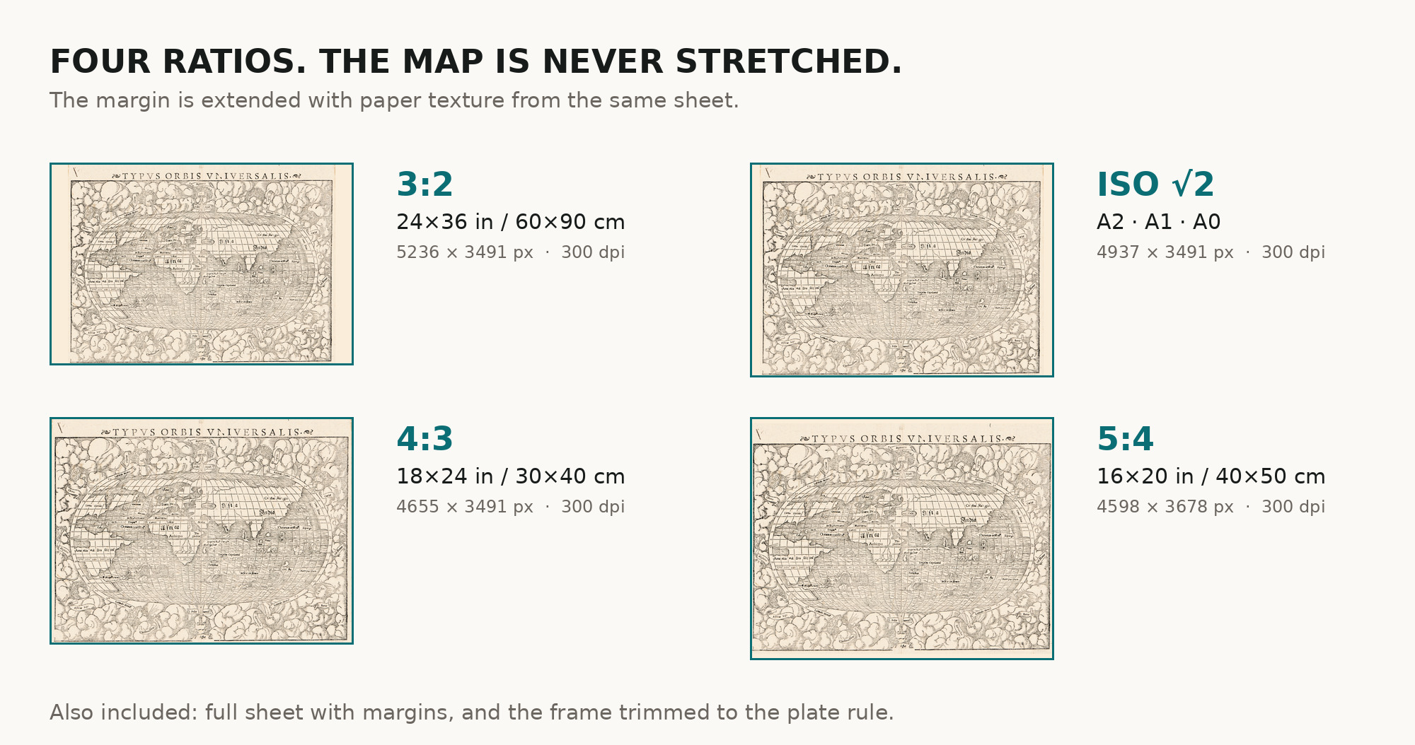
| Scan | full sheet 4609 × 3753 px; the map inside the trimmed border 4598 × 3491 px. From the library's own scan, not an upscale |
| Print size at 300 dpi | the map prints to 38 cm (15 in), the full sheet with margins to 39 cm (15 in) |
| You download | six ZIP archives: full sheet, trimmed, 3:2, 4:3, 5:4 and ISO A |
| Inside each one | one JPEG at 300 dpi, the restoration passport as a PDF, a READ ME |
How to print
- Pick the archive whose proportions match your frame, so nothing is cropped or stretched.
- Ask for matte fine-art paper, printed in sRGB with auto-enhancement off.
- Where to print it: print shops near you and checked prices at online labs.
Source and rights
Library of Congress, Geography and Map Division, call number G3200 1550 .M8, LCCN 84696976. The Library states the content is free to use and reuse, crediting Library of Congress, Geography and Map Division. There is no TIFF master in the package. Catalogue record: Library of Congress →
Features
- Latin
Attachments
Reviews
No reviews found
See also
-
 Antique World Map 1811 — Van Schaack, Most Recent Discoveries
-
Antique World Map 1596 — Typus Orbis Terrarum
-
Antique World Map 1652 — Sanson, L'Hydrographie
-
Antique World Map 1684 — Sanson, Mappa Mondo
-
Antique World Map 1628 — Danckerts, Charte Vniuerselle
-
Antique World Map c. 1807 — Arrowsmith, The World