Antique World Map 1684 — Sanson, Mappa Mondo

Description
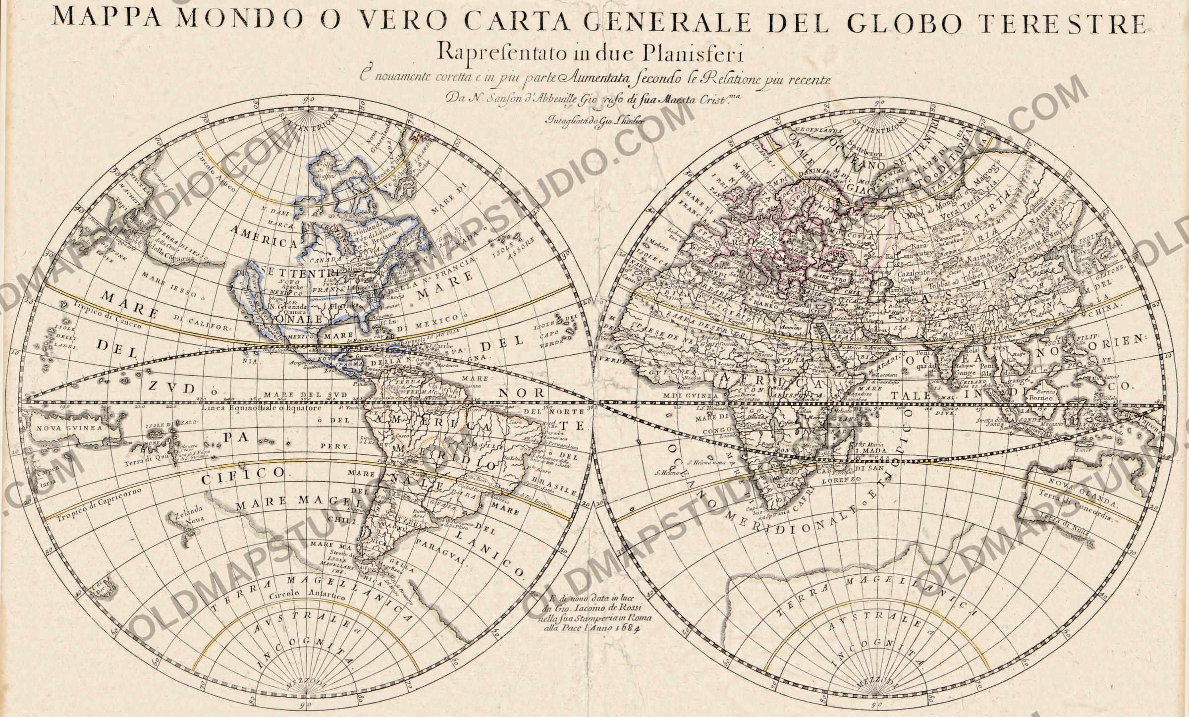
An old world map printed in Rome in 1684
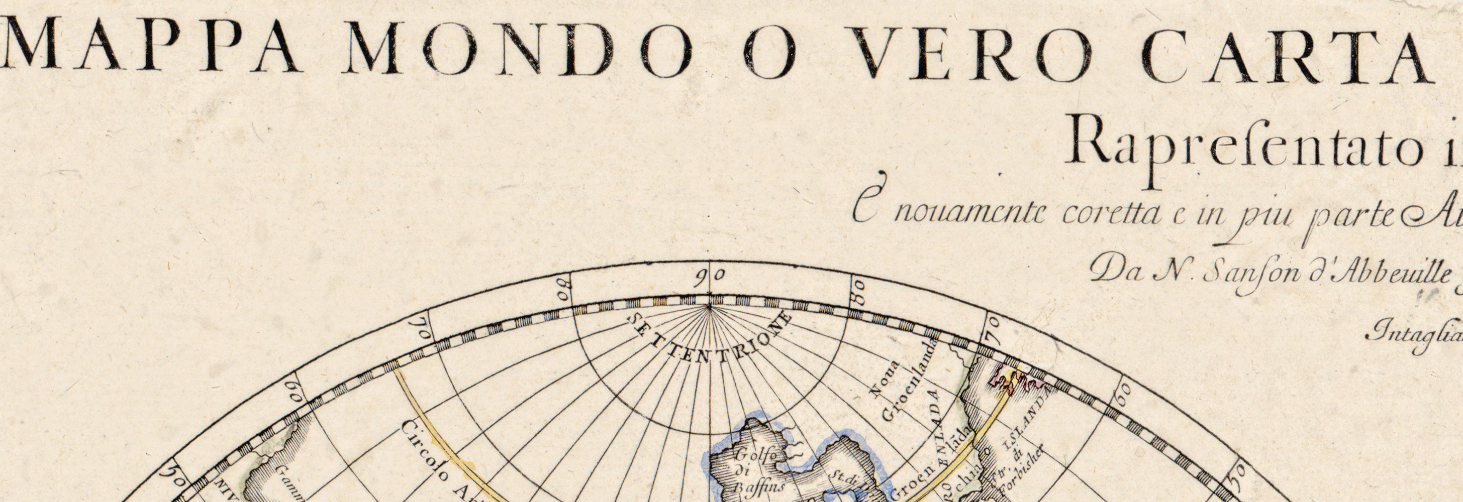
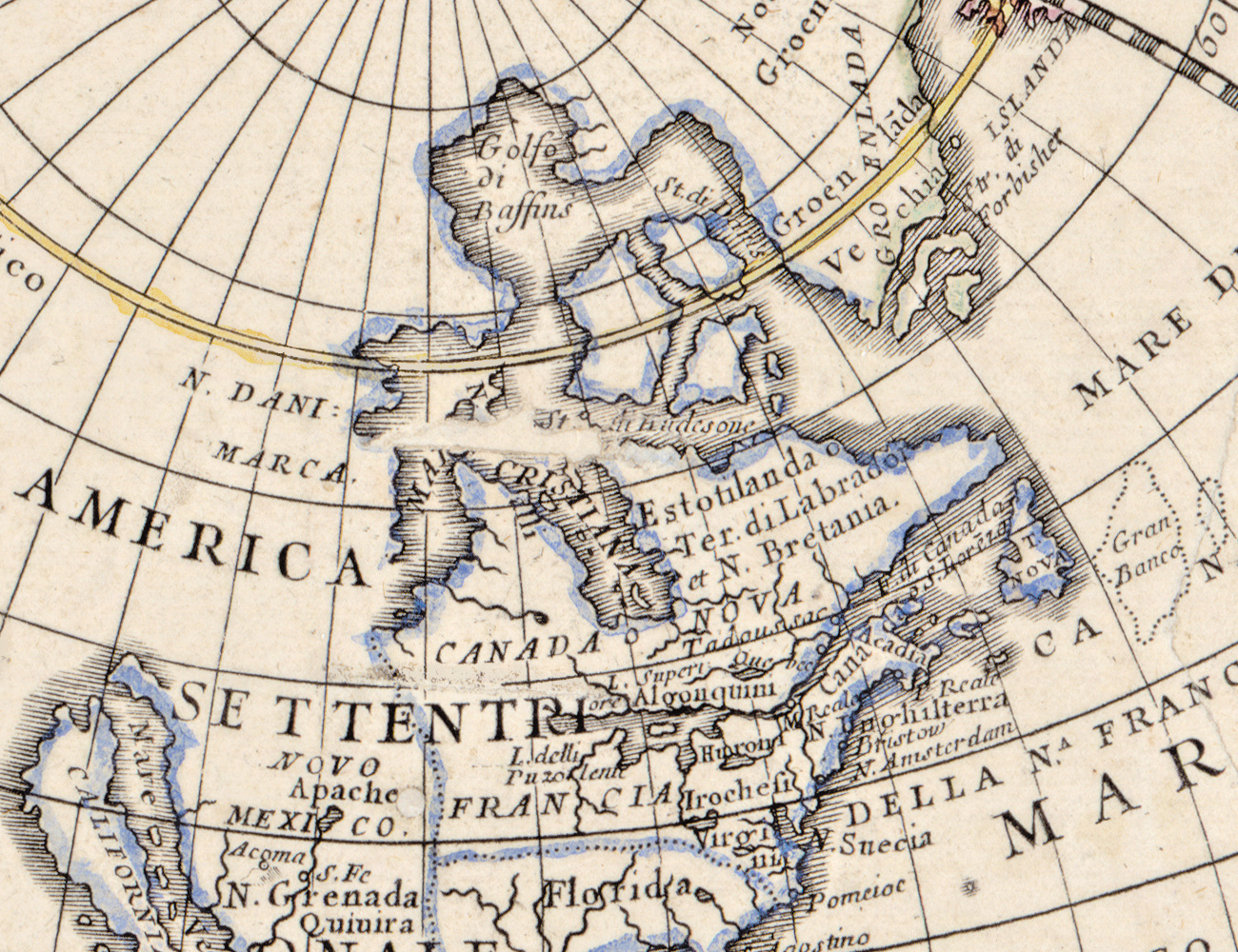
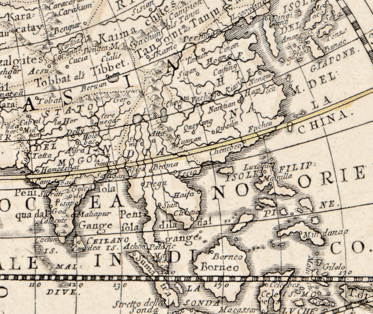
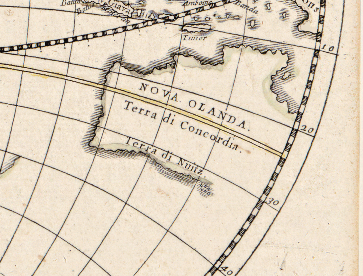
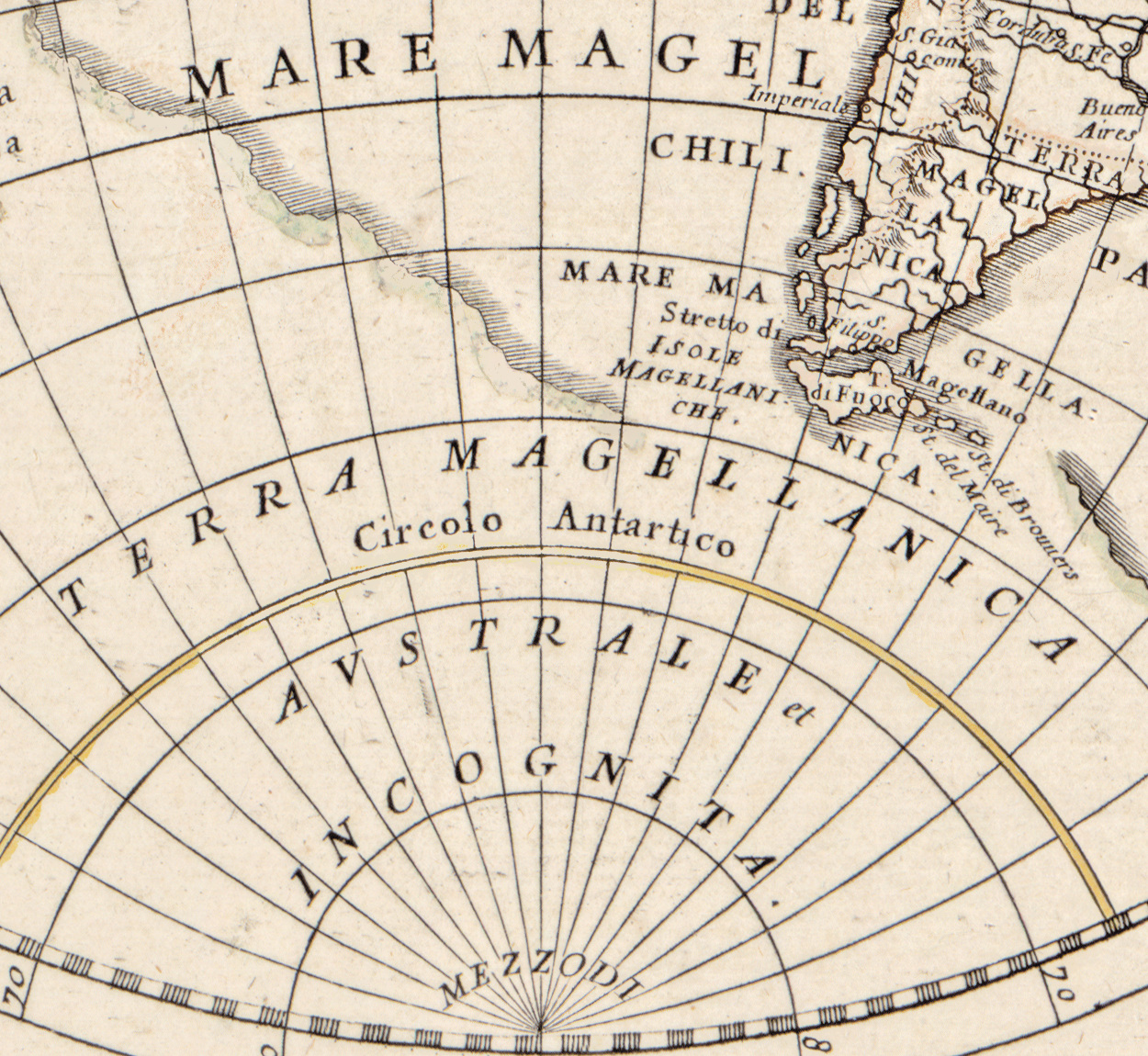
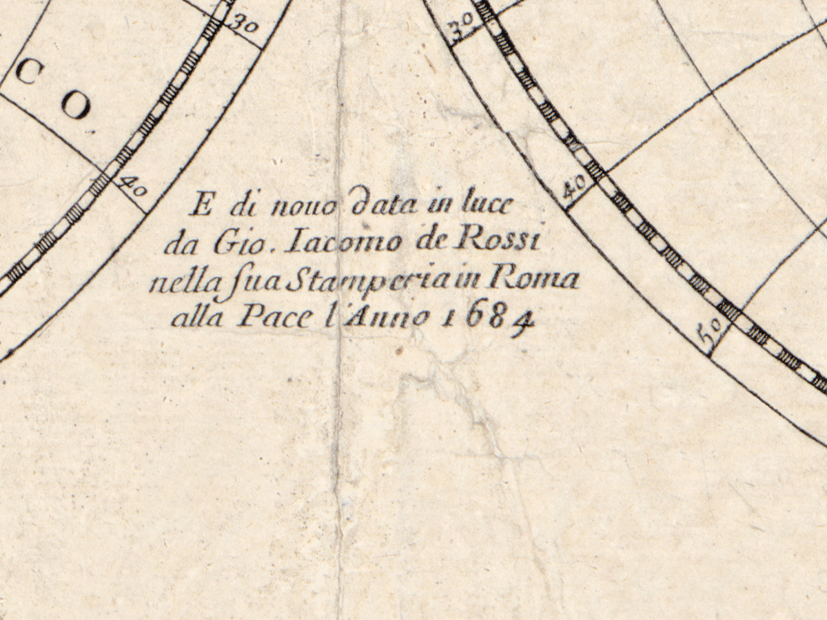
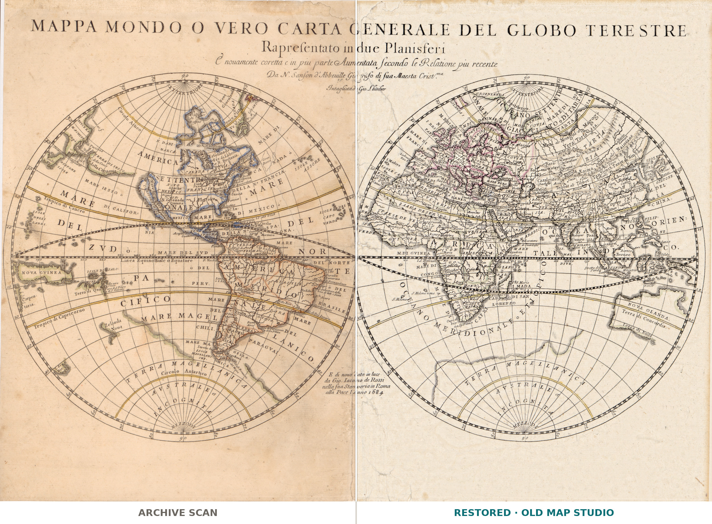
The sheet announces itself at length: Mappa mondo o vero carta generale del globo terestre — a world map, or rather a general chart of the terrestrial globe, shown in two planispheres, newly corrected and in many places enlarged after the most recent reports. The plate follows Nicolas Sanson, and the record names J. Luillier as its engraver; Giovanni Giacomo de Rossi brought it out again from his printing house at the Pace in 1684. Two hemispheres of 27 cm each on a sheet of 40 × 56 cm, and the Library of Congress copy is lightly hand colored, political boundaries only.
Your file
| Original | after Nicolas Sanson, engraved by J. Luillier, published by Gio. Giacomo de Rossi, Rome, 1684 |
| Sheet | 40 × 56 cm, two hemispheres of 27 cm |
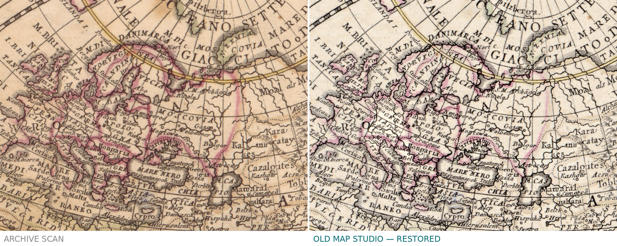
| Scan | full sheet 6552 × 4614 px; the map inside its border 6552 × 3950 px. From the library's own scan, not an upscale |
| Print size at 300 dpi | the map prints to 55 cm (21 in); the full sheet with its margins is the same 55 cm on the long side |
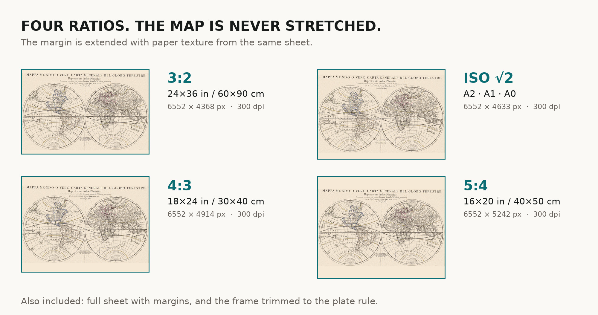
| You download | six ZIP archives: full sheet, trimmed, 3:2, 4:3, 5:4 and ISO A |
| Inside each one | one JPEG at 300 dpi, the restoration passport as a PDF, a READ ME |
How to print
- Print at 300 dpi at the size above and do not let the shop scale the file up.
- Pick the archive whose proportions match your frame, so nothing is cropped or stretched.
- Ask for matte fine-art paper, printed in sRGB with auto-enhancement off.
- Where to print it: print shops near you and checked prices at online labs.
Source and rights
Library of Congress, Geography and Map Division, call number G3200 1684 .S2, LCCN 2017585709. The library states the sheet is free to use and reuse. Archive and shelfmark are named in the passport inside every archive. Catalogue record: Library of Congress →
Features
- Italian
Attachments
Reviews
No reviews found
See also
-
 Antique World Map 1596 — Typus Orbis Terrarum
-
Antique World Map c. 1807 — Arrowsmith, The World
-
Antique World Map 1550 — Münster, Typus Orbis Universalis
-
Antique World Map c. 1690 — Morden & Berry, To Capt. John Wood
-
Antique World Map 1811 — Van Schaack, Most Recent Discoveries
-
Antique World Map 1715 — Renard, Planisphere