Antique World Map 1596 — Typus Orbis Terrarum

Description
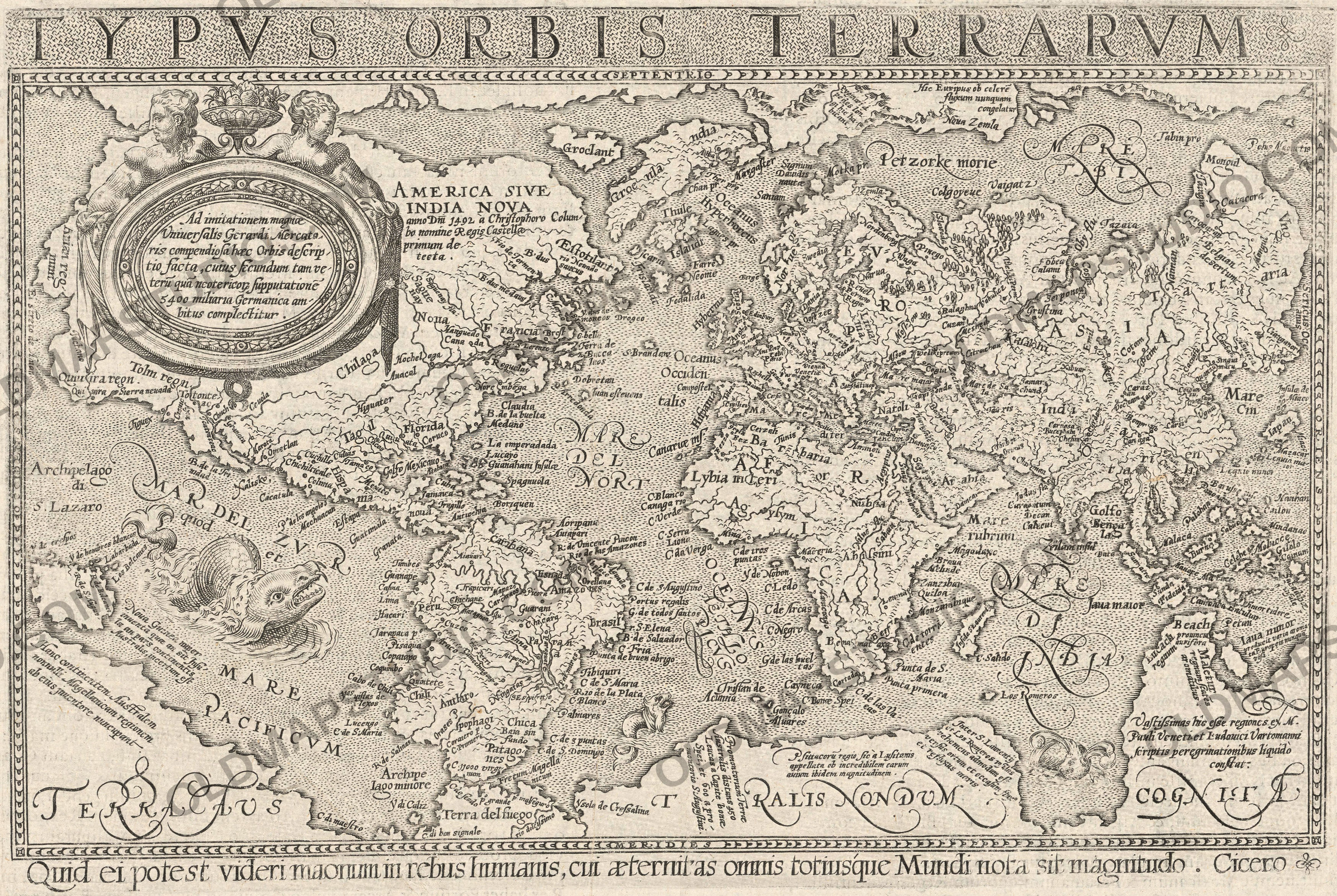
An old world map printed in Cologne in 1596
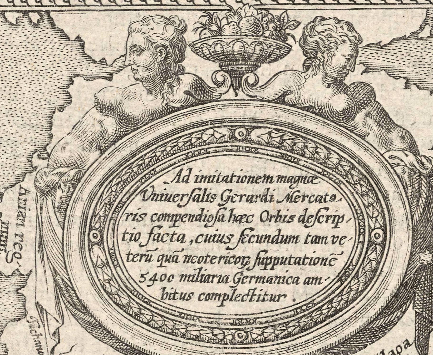
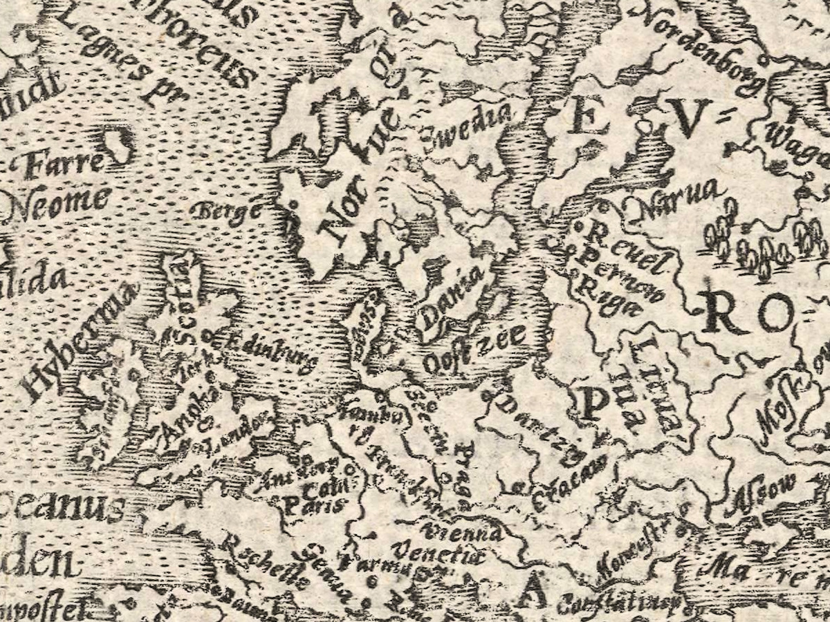
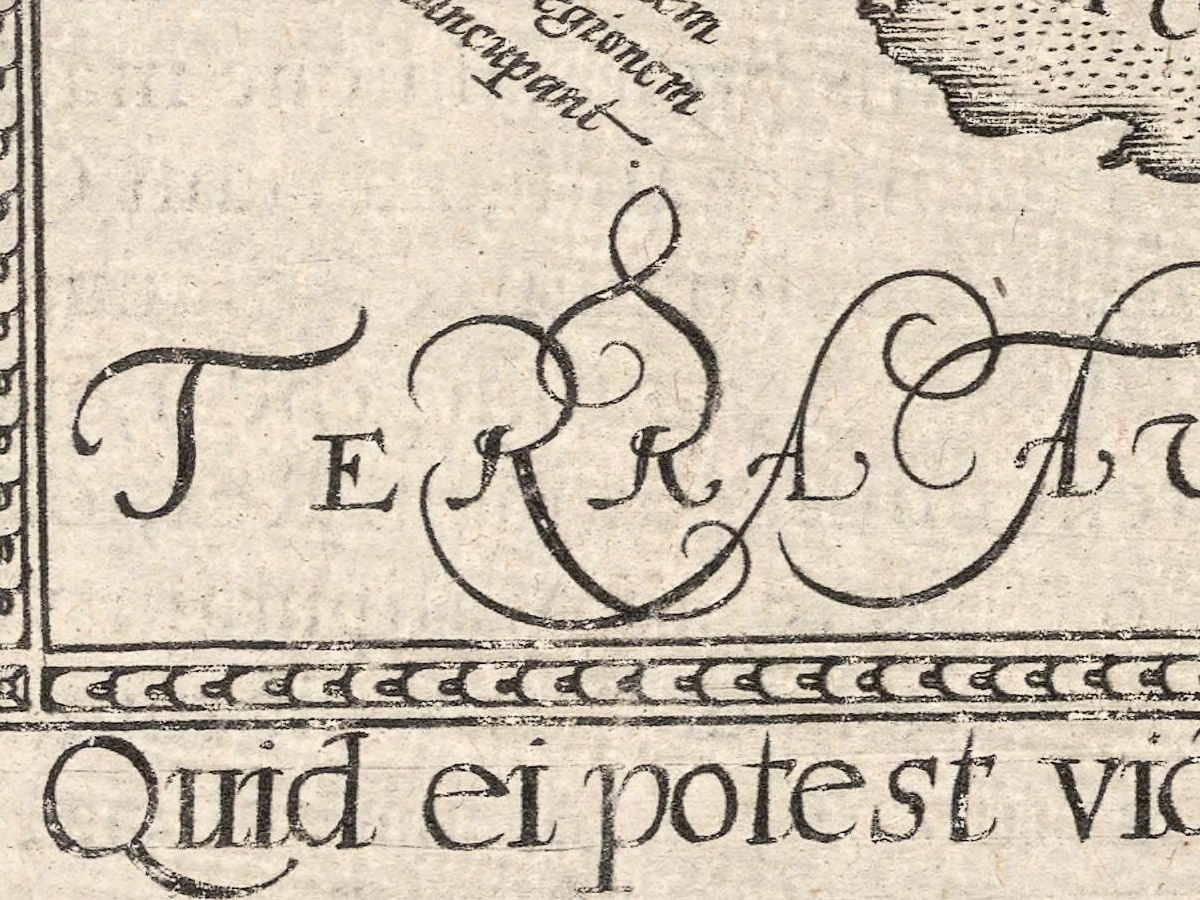
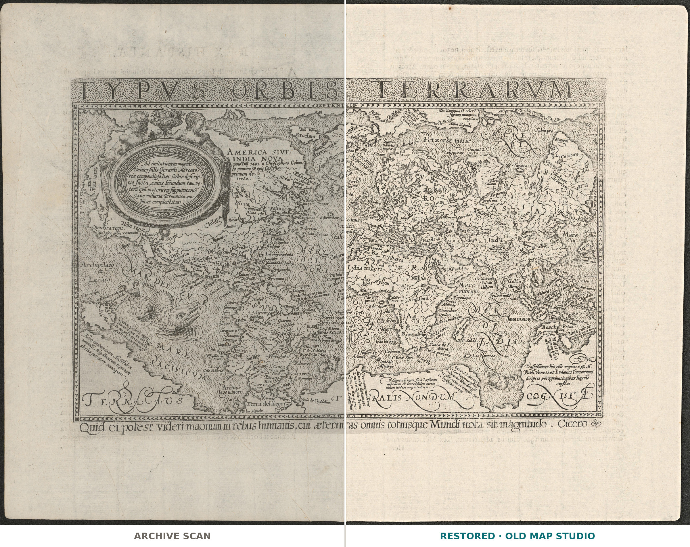
The sheet carries the plain classical title Typus orbis terrarum and, at the upper left, the line that explains its origin: Ad imitationem magnae Vniuersalis Gerardi Mercatoris compendiosa haec Orbis descriptio facta — this compendious description of the world was made in imitation of Gerard Mercator's great universal map. That great map is the wall map of 1569, which gave navigation its projection; this is the handy answer to it, printed in Cologne twenty-seven years later.
What the catalogue records
The National Library of Norway describes one map on two pages, published in Cologne in 1596 by Lambert Andreae. Both the place and the publisher stand in square brackets in the record, which is the librarian's way of saying that neither is printed on the sheet itself — they are attributions. Relief is shown by mountain profiles, in the old drawn manner. The text is Latin, and there is more Latin on the back of the sheet. The record names no cartographer, and we do not supply one.
After Mercator, not by Mercator
The distinction matters, and the sheet makes it itself: ad imitationem, in imitation. The 1569 wall map was enormous and almost unbuyable; the trade answered with small derived maps that carried its outline into atlases and books. This is one of them — a working copy of the century's most consequential map, made while the original was still current.
Your file
| Original | [Lambert Andreae], [Cologne], 1596, one map on two pages, Latin text on the verso |
| Scan | 8974 × 6823 px of the whole book leaf, from the library's own scan, not an upscale |
| The printed image | 7009 × 4699 px — the engraving itself, without the wide blank margins of the leaf |
| Print size at 300 dpi | the map prints to 59 cm (23 in), the full leaf with its margins to 75 cm (29 in) |
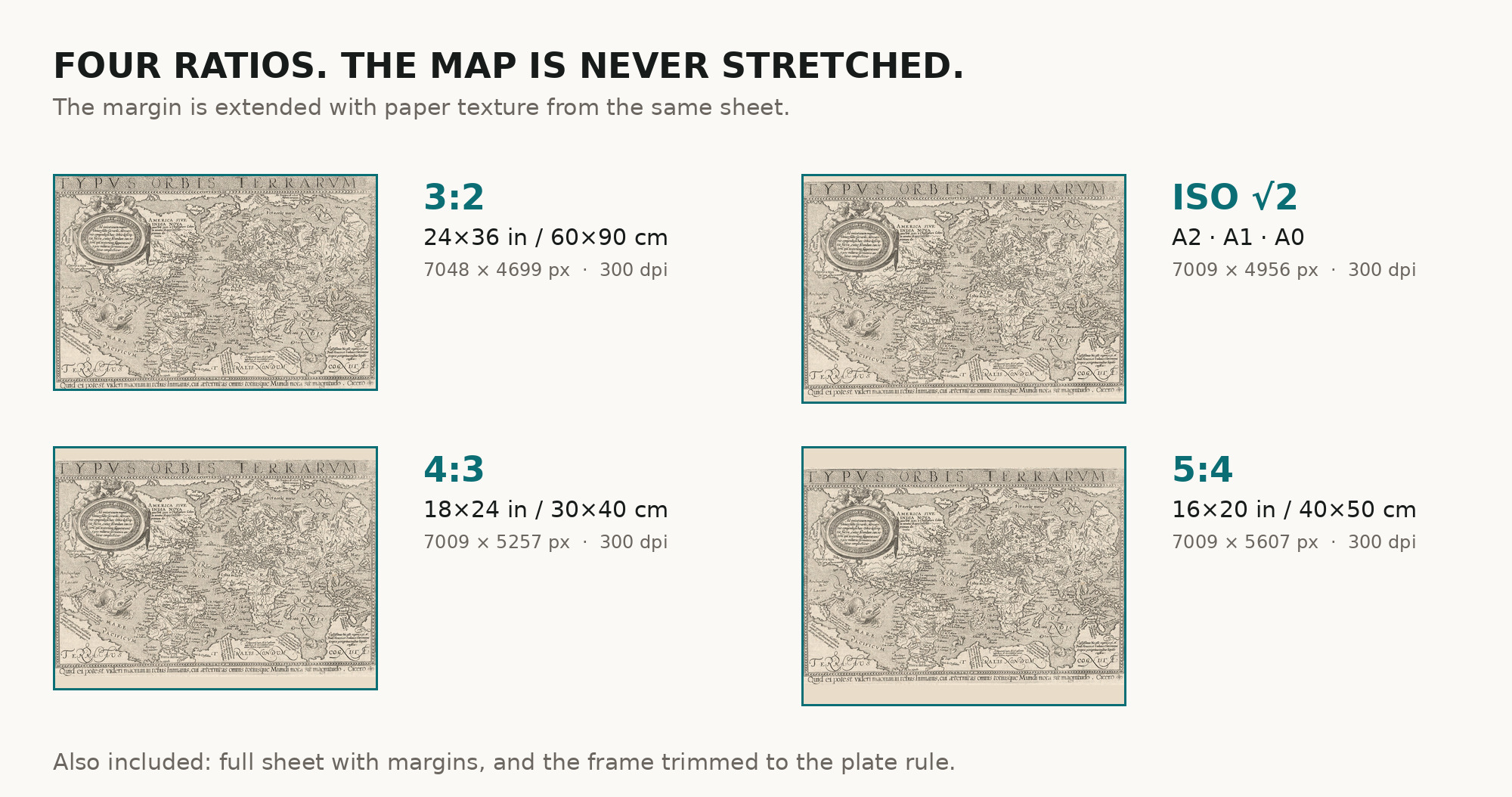
| You download | six ZIP archives: full sheet, trimmed, 3:2, 4:3, 5:4 and ISO A |
| Inside each one | one JPEG at 300 dpi, the restoration passport as a PDF, a READ ME |
How to print
- Print at 300 dpi at the size above and do not let the shop scale the file up.
- Pick the archive whose proportions match your frame, so nothing is cropped or stretched.
- Ask for matte fine-art paper, printed in sRGB with auto-enhancement off.
- Where to print it: print shops near you and checked prices at online labs.
Source and rights
National Library of Norway, URN:NBN:no-nb_digikart_gaa0010001016. Public domain, accessible worldwide, and the library is named in the passport inside every archive. Catalogue record: Nasjonalbiblioteket →
Questions
What exactly do I get after payment?
Six ZIP archives, each with one JPEG at 300 dpi, the restoration passport as a PDF and a READ ME. There is no TIFF master in the package.
How large can I print it?
Two numbers, because you get two files. The engraving, cut to its border, prints to 59 cm (23 in) on the long side at 300 dpi; the full book leaf with its wide blank margins to 75 cm (29 in). Both come from the resolution of the library's scan, not from an upscale.
Is this Mercator's own world map?
No. The sheet says so itself: it was made in imitation of Mercator's great map of 1569.
Why is the place of publication in brackets?
Because Cologne and the publisher's name are the library's attribution, not lines printed on the sheet.
Features
- Latin
Attachments
Reviews
No reviews found
See also
-
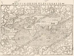
 Antique World Map 1550 — Münster, Typus Orbis Universalis
-
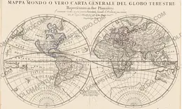
Antique World Map 1684 — Sanson, Mappa Mondo
-
Antique World Map 1811 — Van Schaack, Most Recent Discoveries
-
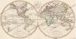
Antique World Map c. 1807 — Arrowsmith, The World
-
Antique World Map 1652 — Sanson, L'Hydrographie
-
Antique World Map c. 1690 — Morden & Berry, To Capt. John Wood