Antique World Map c. 1690 — Morden & Berry, To Capt. John Wood
Description
An old Mercator world map from London, dedicated to a sea captain
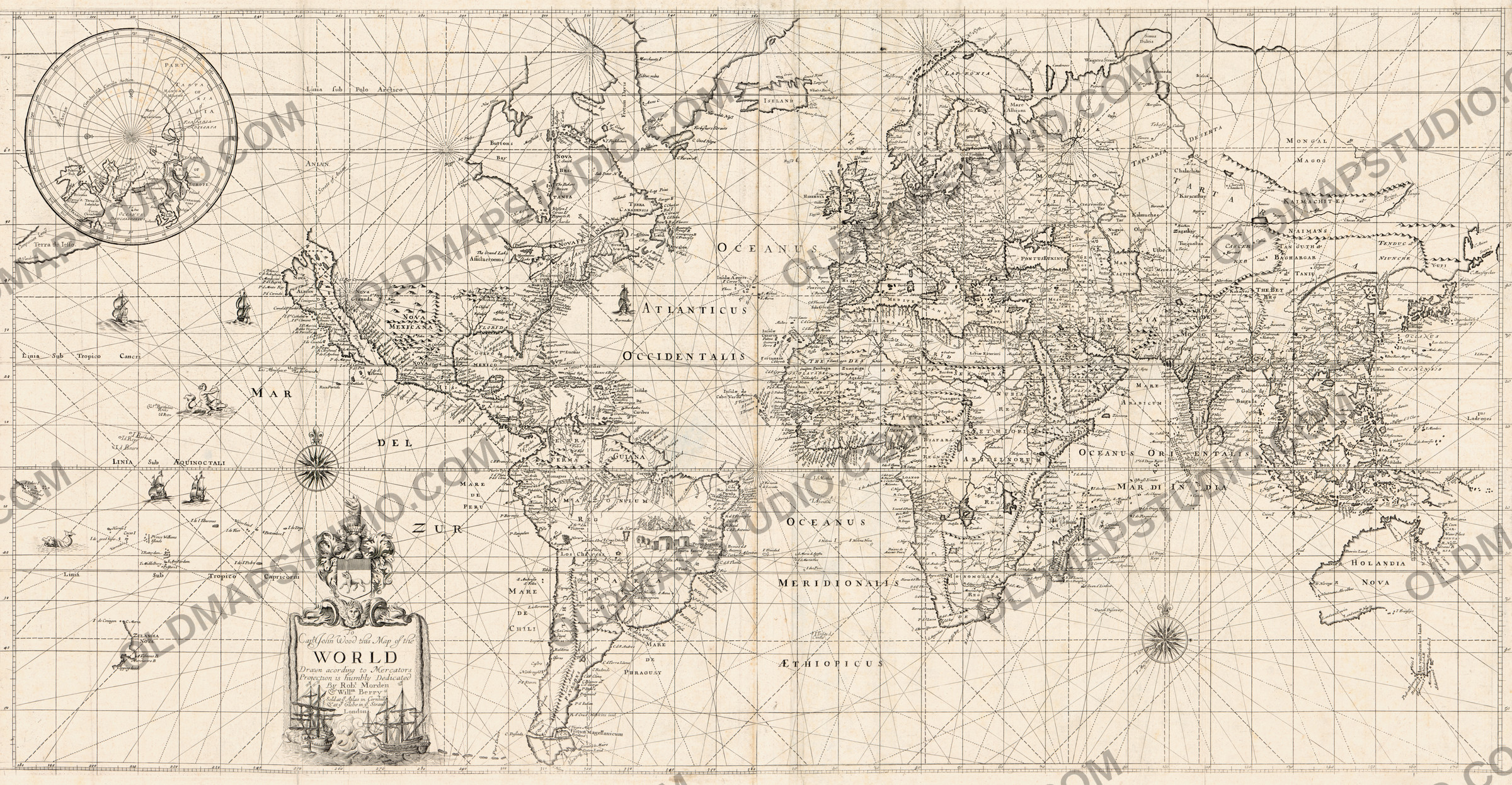
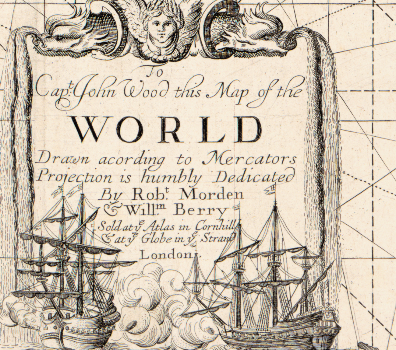
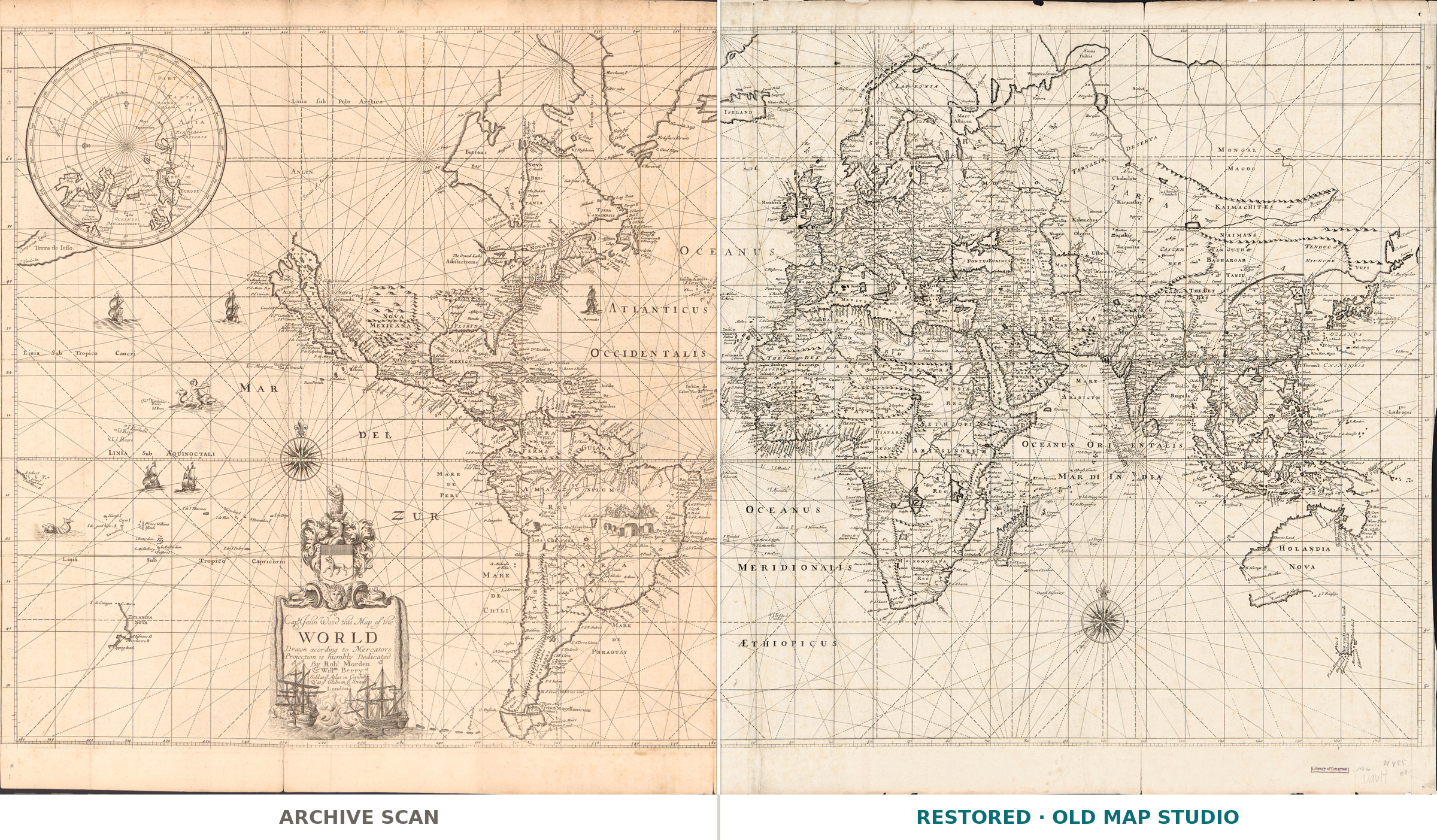
The whole title is a dedication: To Capt. John Wood this map of the world, drawn according to Mercators projection, is humbly dedicated. The makers are Robert Morden (c. 1650–1703) and William Berry (active 1669–1708), who sold it at the Atlas in Cornhill and the Globe in the Strand. The Library of Congress dates it [1690?], an estimate, so our name says c. 1690.
What is on the sheet
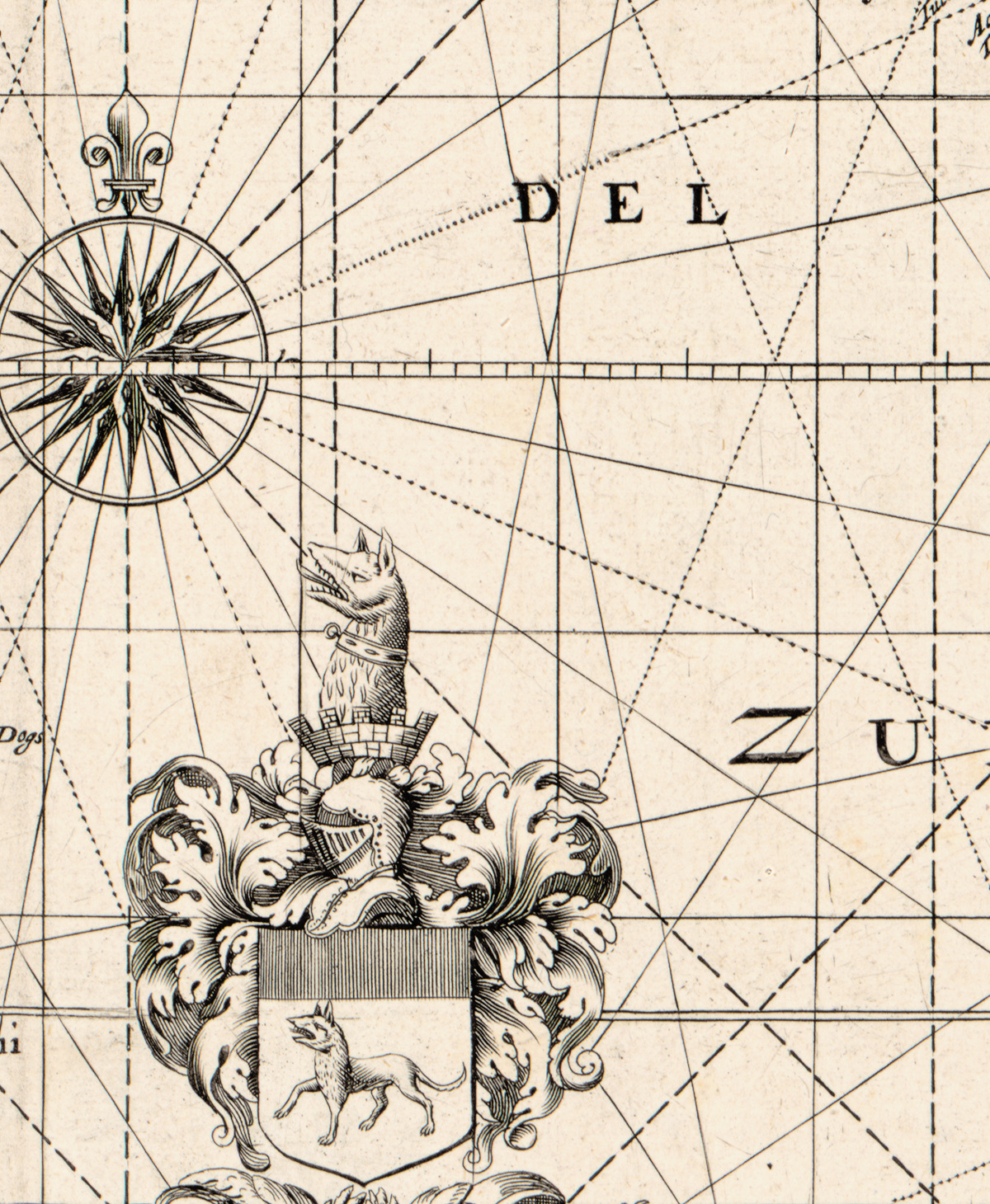
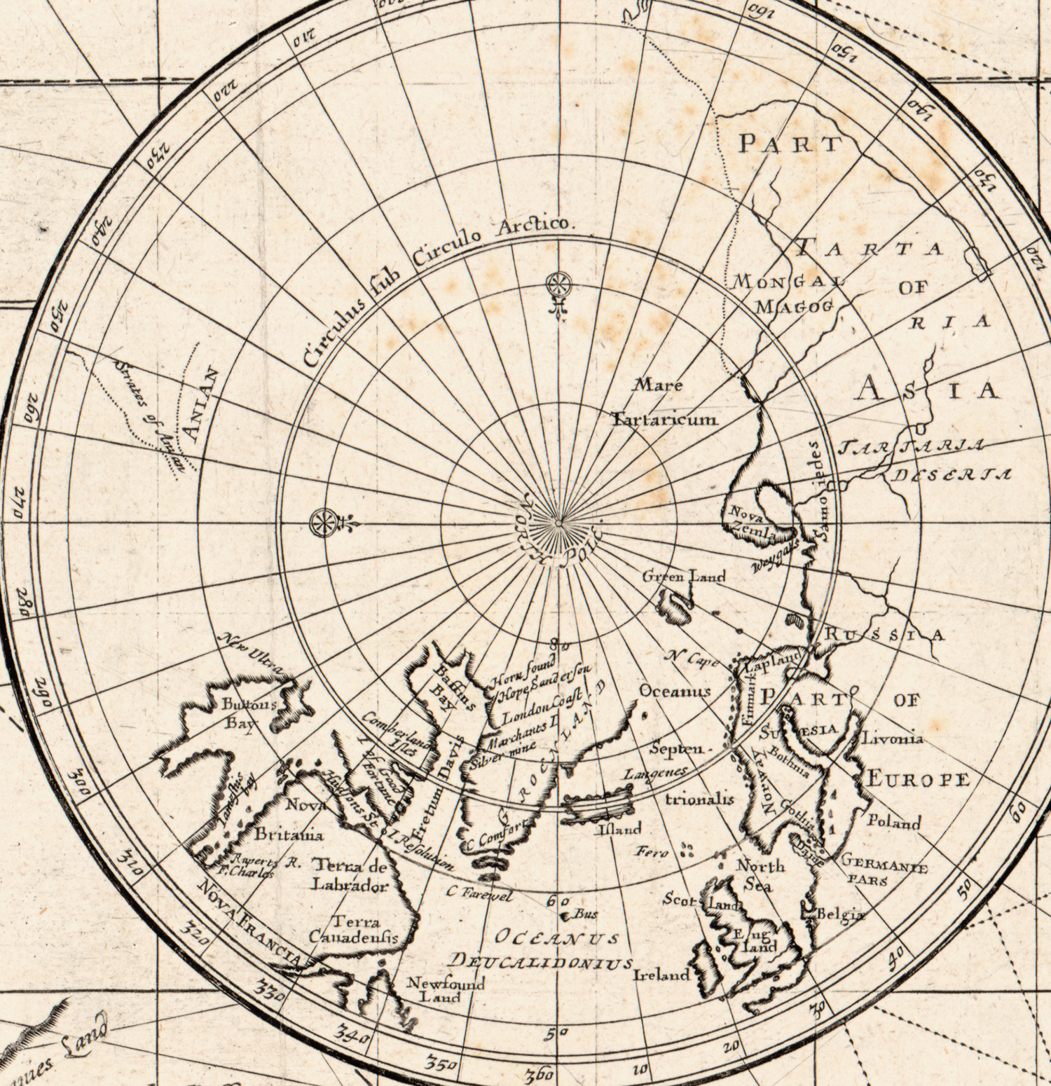
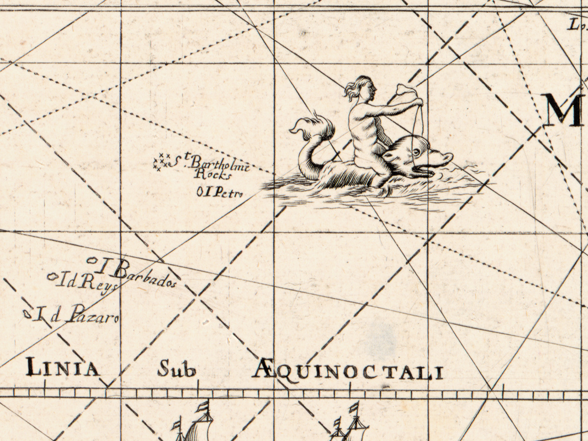
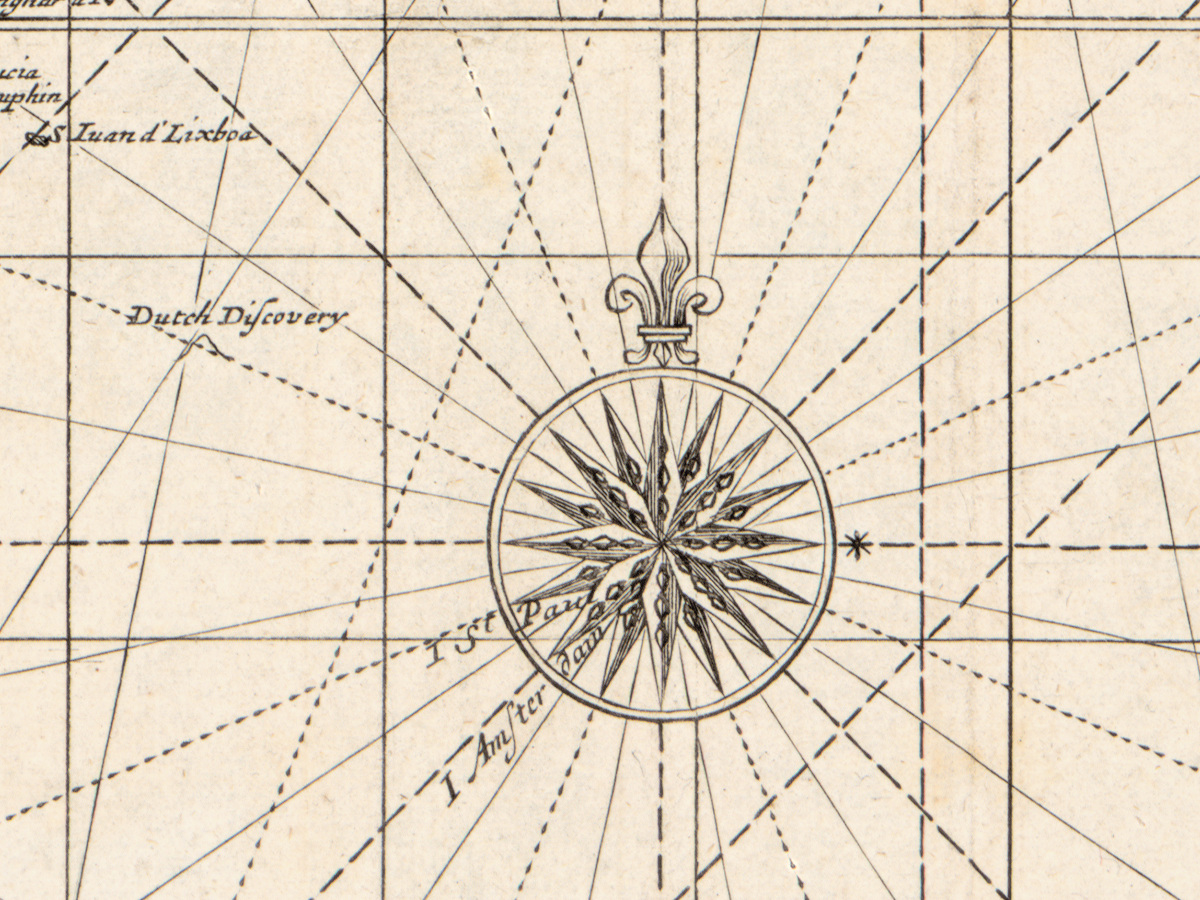
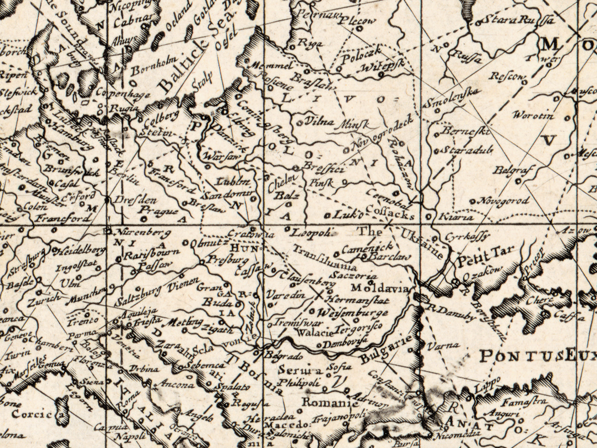
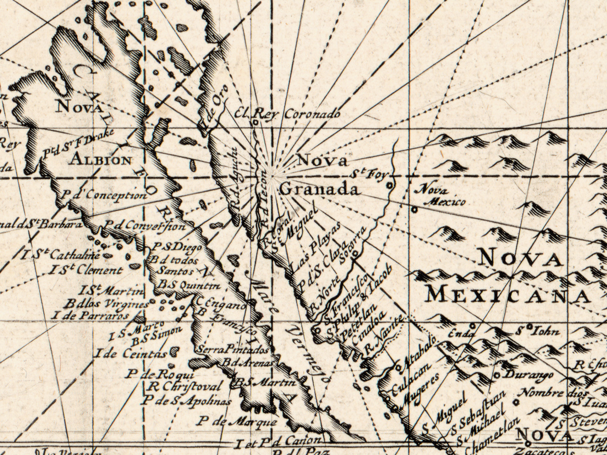
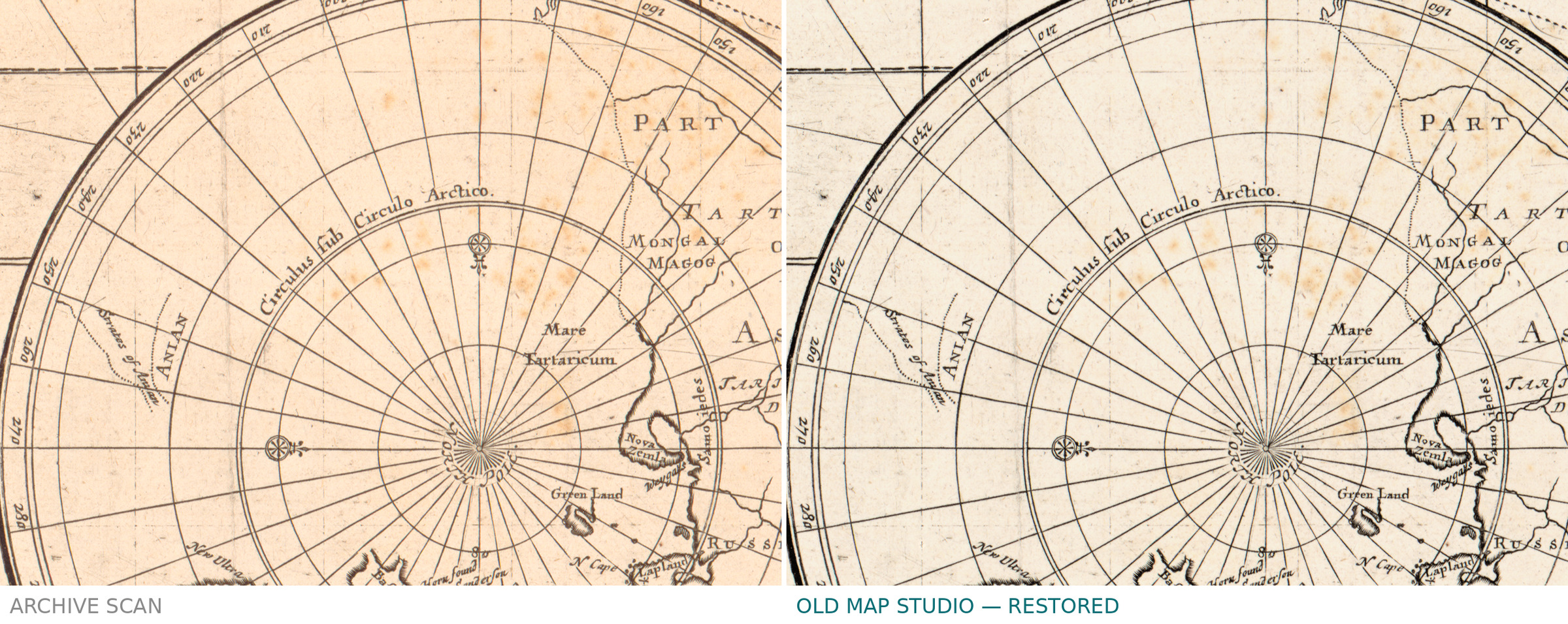
A wide sheet, 48 × 96 cm, printed on two sheets and pasted together. California is an island. The name Pensilvania appears on the map, which is how the Library identifies this impression as a second state, issued after 1682. Around the projection: illustrations, a north polar hemisphere, two compass roses and a web of rhumb lines. The record does not describe the technique or any coloring.
Your file
| Original | Robert Morden and William Berry, London, c. 1690 (Shirley 472) |
| Sheet | 48 × 96 cm, two sheets pasted together |
| Scan | full sheet 11568 × 6396 px; the map inside the trimmed border 11496 × 5966 px |
| Print size at 300 dpi | the map prints to 97 cm (38 in), the full sheet with margins also to 97 cm: the border takes almost the whole width, the margins add height |
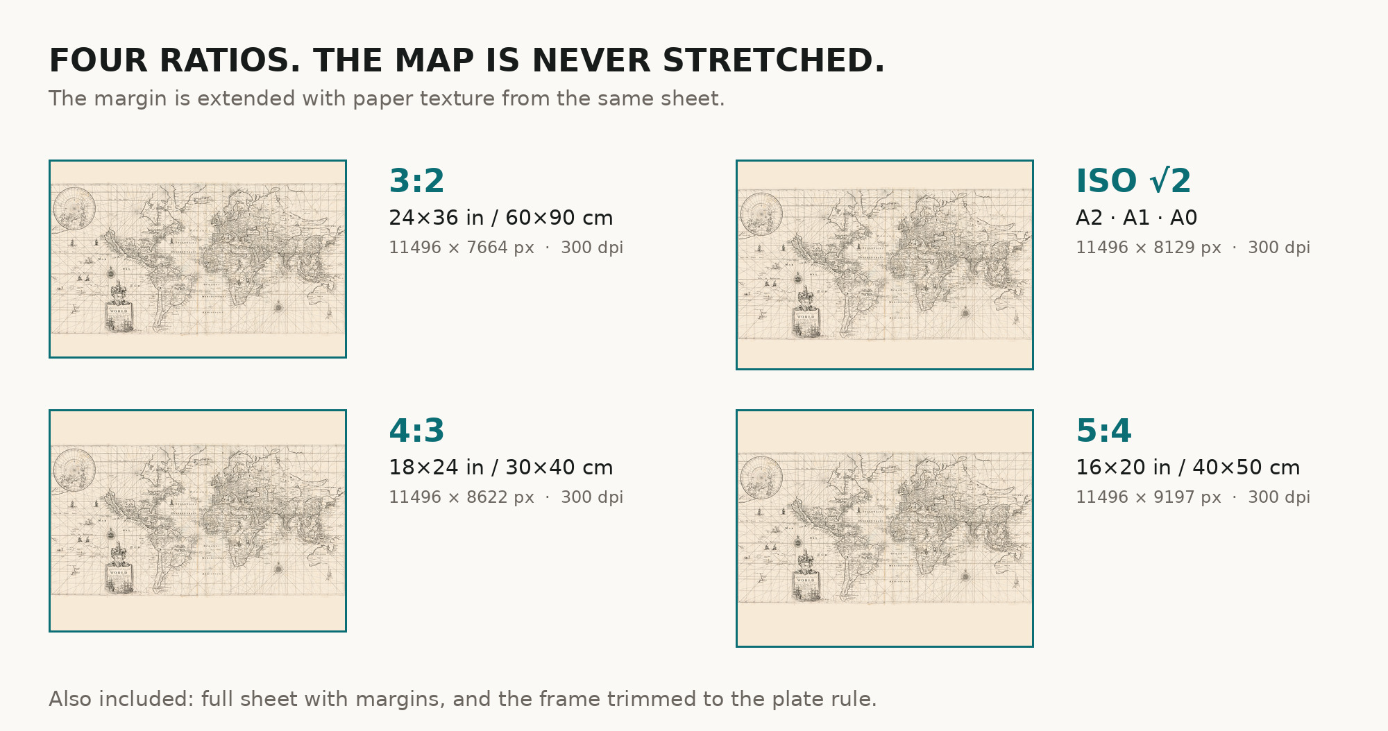
| You download | six ZIP archives: full sheet, trimmed, 3:2, 4:3, 5:4 and ISO A |
| Inside each one | one JPEG at 300 dpi, the restoration passport as a PDF, a READ ME |
How to print
- At this width ask a print service for a single sheet, matte fine-art paper, sRGB, auto-enhancement off.
- Where to print it: print shops near you and checked prices at online labs.
Source and rights
Library of Congress, Geography and Map Division, call number G3200 1690 .M6, LCCN 2017585715. The Library states the content is free to use and reuse, crediting Library of Congress, Geography and Map Division. There is no TIFF master in the package. Catalogue record: Library of Congress →
Features
- English
Attachments
Reviews
No reviews found
See also
-
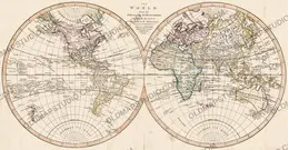
 Antique World Map c. 1807 — Arrowsmith, The World
-
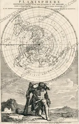
Antique World Map 1715 — Renard, Planisphere
-
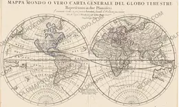
Antique World Map 1684 — Sanson, Mappa Mondo
-
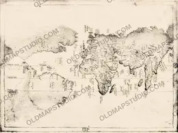
Antique World Map c. 1508 — Egerton Portolan Atlas, Plate 14
-
Antique World Map 1596 — Typus Orbis Terrarum
-
Antique World Map 1708 — De la Feuille, Mapemonde Planisphere