Antique World Map 1598 — Plancius, Wieder Facsimile 1927

Description
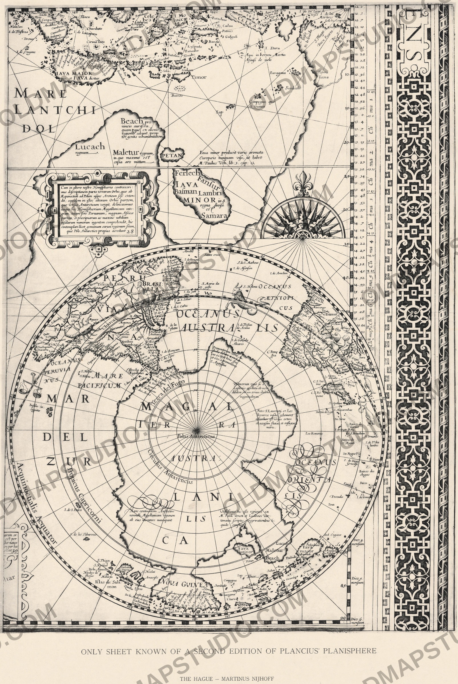
A fragment of Plancius’s world map, 1598, in Wieder’s facsimile of 1927
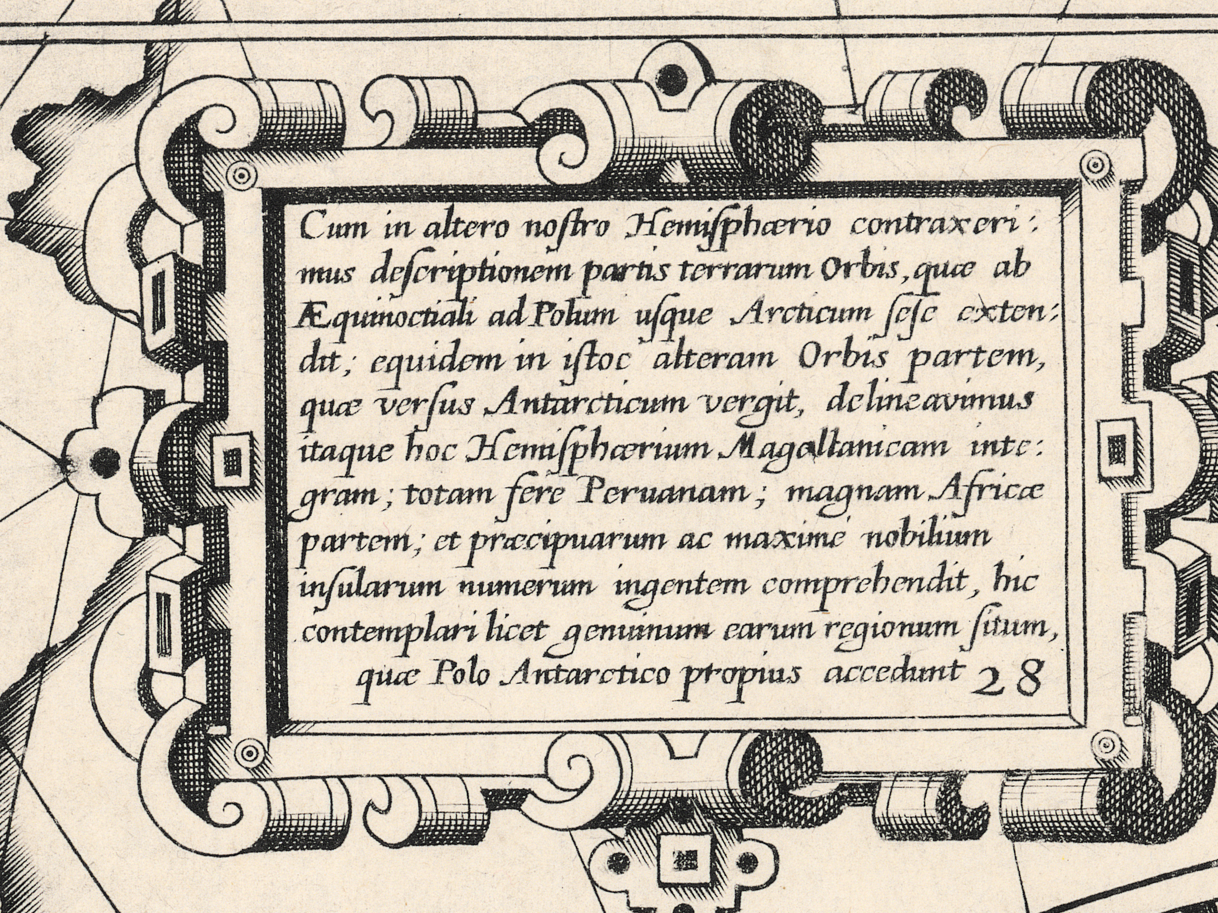
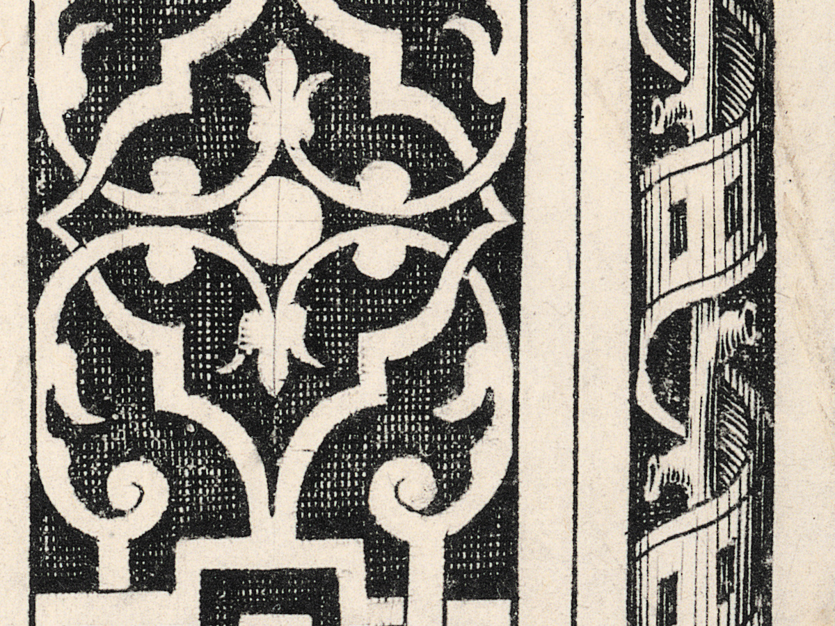
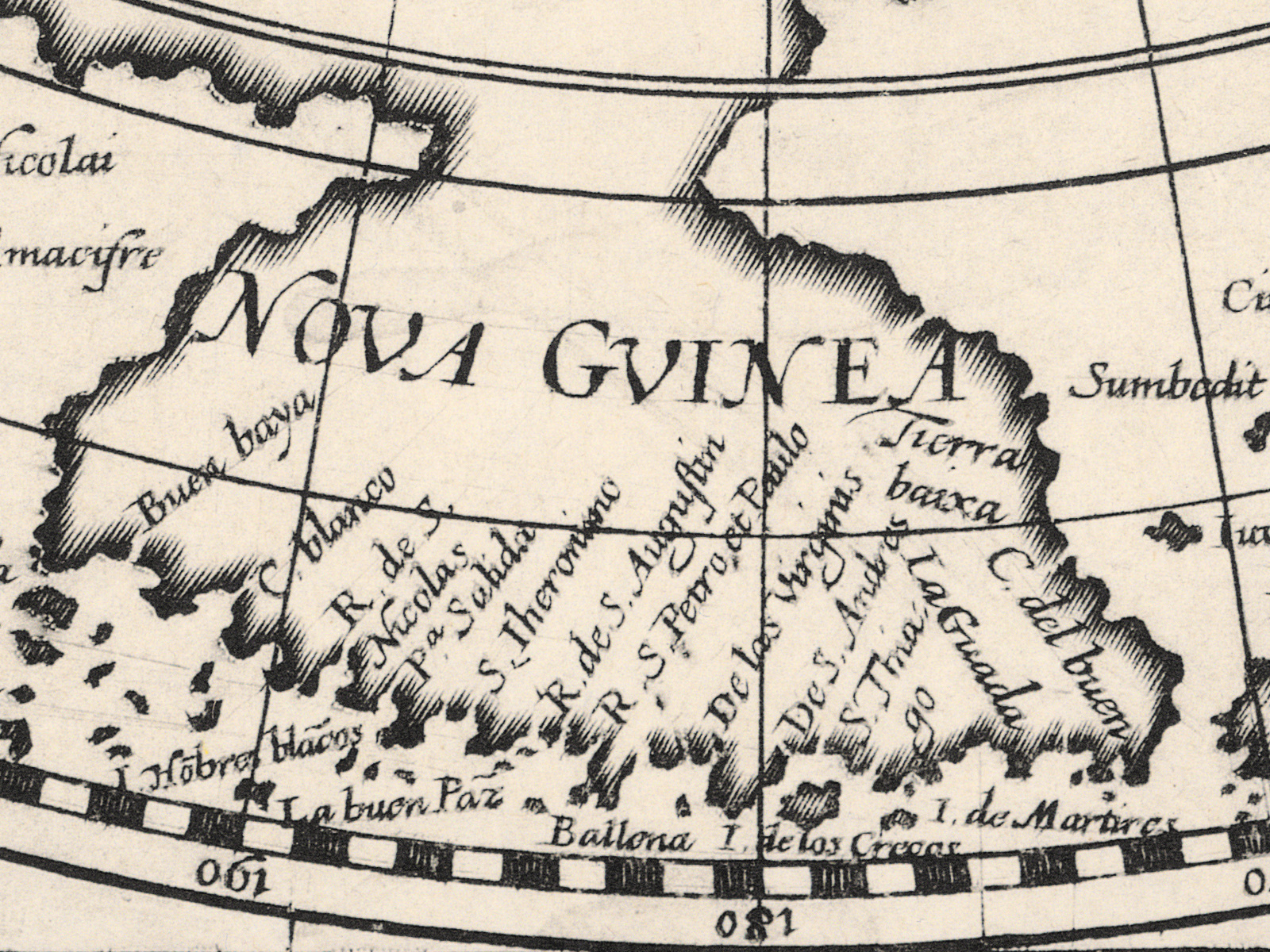
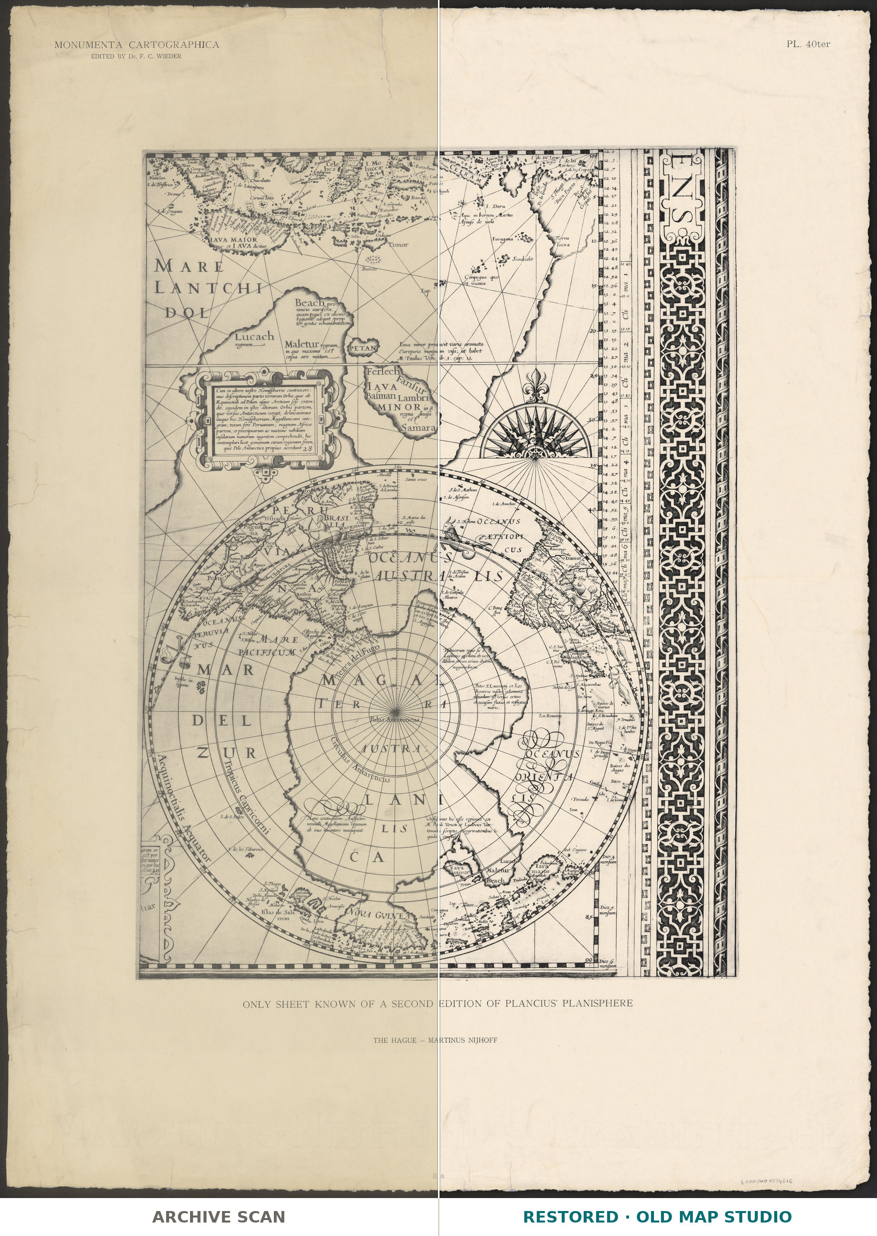
This sheet is a facsimile, and it says so. The English caption under the frame reads “Only sheet known of a second edition of Plancius planisphere”, and it was published in The Hague in 1927 by Martinus Nijhoff in Monumenta cartographica, edited by Frederik Caspar Wieder – volume 2, plate 40. The National Library of Poland, which holds this copy, describes it as a fragment of Plancius’s map, the lower right corner, printed in one color, with the map in Latin; its catalog record dates the original to 1598.
Petrus Plancius (1552–1622) was born in Dranouter in Flanders, moved to the northern Netherlands in 1585 and became a minister in Amsterdam. The Dutch map history journal Caert-Thresoor calls him a driving force for the Dutch East India Company in many fields, including the union of the early trading companies into the company in 1602; he examined its ship officers and served as its official cartographer. A large world map by Plancius was published in 1592 by Cornelis Claesz. and Johannes Baptista Vrients; one copy of that printing is known, in Valencia, where Wieder rediscovered it in 1914, and three later states have since come to light. Which map this “second edition” belongs to, the record does not say.
Wieder (1874–1943) became director of Leiden University Library in 1924. Monumenta cartographica, published from 1925 to 1933, reproduced unique and rare maps “in the actual size of the originals” in five large portfolios, each with a volume of text. The Polish copy measures 54 × 39 cm on a sheet of 77 × 57 cm, with the watermark “Martinus Nijhoff ’s Gravenhage”.
The National Library of Poland keeps the sheet under the shelfmark ZZK 3 147 and publishes the scan in its digital library, Polona; your file is made from that scan.
Your file
| Original | facsimile, The Hague, Martinus Nijhoff, [1927], after a sheet the record dates to 1598; National Library of Poland ZZK 3 147; map 54 × 39 cm on a sheet of 77 × 57 cm, one color |
| Scan | full sheet 13466 × 18384 px; the map inside the trimmed border 9288 × 13878 px |
| Print size at 300 dpi | the map prints to 117 cm (46 in), the full sheet with margins to 155 cm (61 in) |
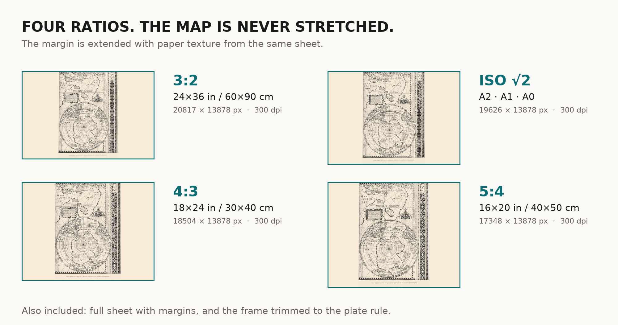
| You download | six ZIP archives: full sheet, trimmed, 3:2, 4:3, 5:4 and ISO A |
| Inside each one | one JPEG at 300 dpi, the restoration passport as a PDF, a READ ME |
How to print
- At 300 dpi the map prints to 117 cm along its long side. Pick the archive whose proportions match your frame; ask for matte fine-art paper in sRGB with auto-enhancement off.
- Where to print it: print shops near you and checked prices at online labs.
Source and rights
The file is made from the National Library of Poland’s scan in Polona, published as public domain. It reproduces a 1927 facsimile, not a sixteenth-century print. The record names neither the printing technique nor any coloring beyond “one color”. There is no TIFF master in the package. Catalogue record: Polona →
Features
- Latin
Attachments
Reviews
No reviews found
See also
-
 Antique World Map 1873 — Vivien de Saint-Martin, Planisphère, Mercator
-
Antique World Map 1848 — Johnston, Botanical Geography
-
Antique World Map c. 1850 — Bartholomew, British Empire in One View
-
Antique World Map 1740 — Seutter, Diversi Globi Terr-Aquei
-
Antique Map of America 1570 — Ortelius, Americae sive Novi Orbis
-
Antique World Map 1579 — Ortelius, Typus Orbis Terrarum