Constellation Map 1909 — Dilks, Stars of the First 5 Magnitudes


Description
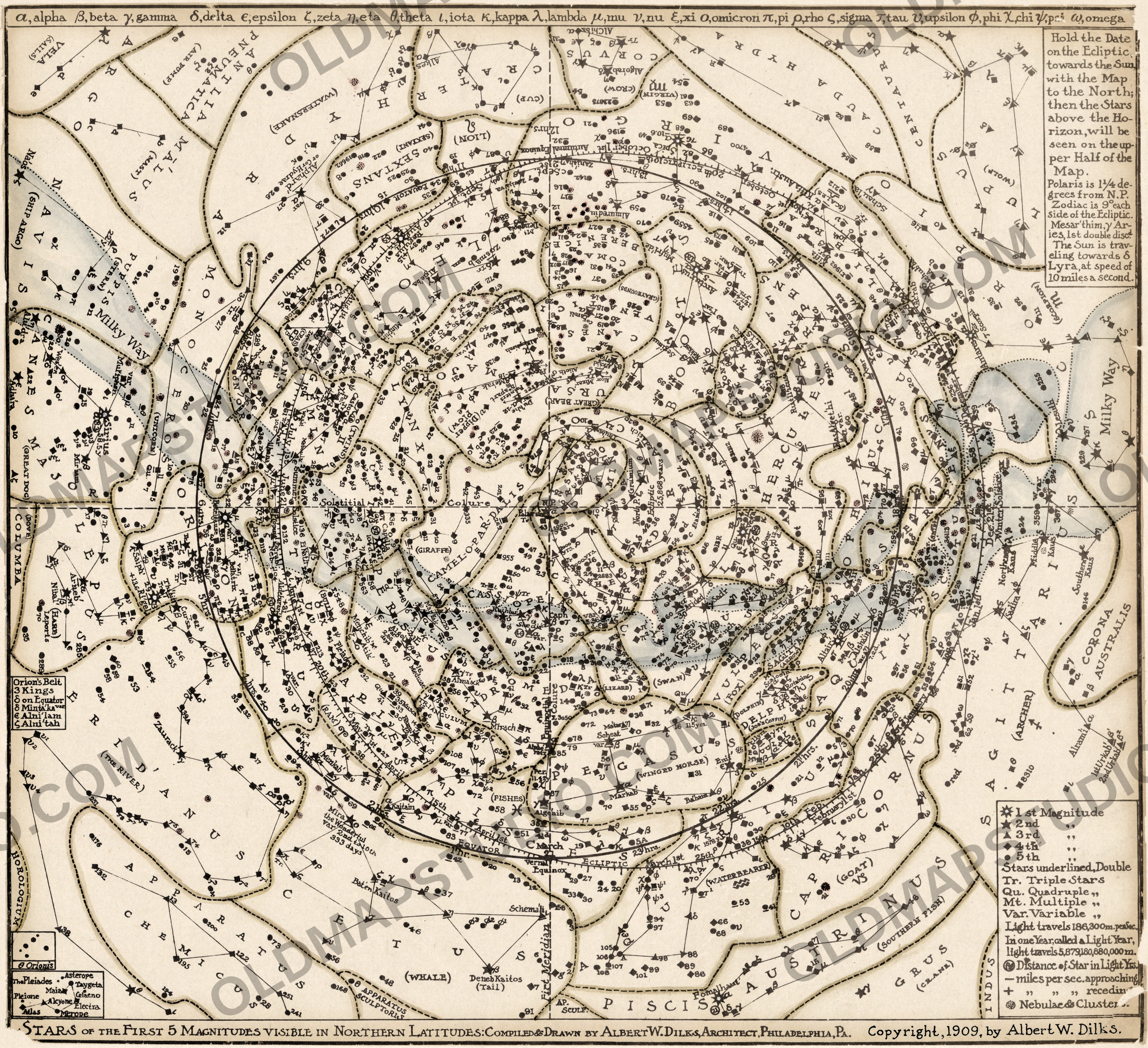
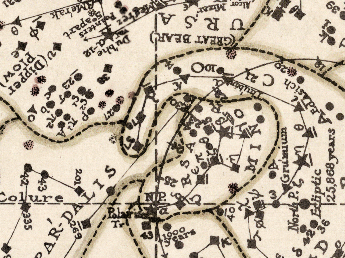
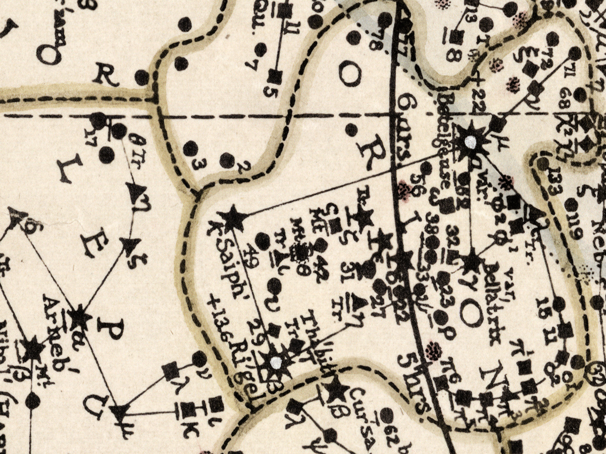
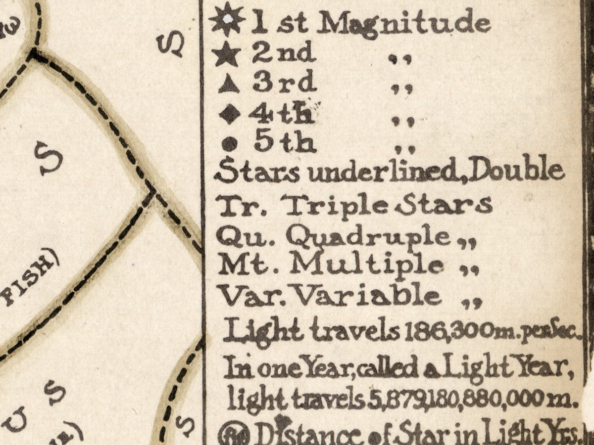
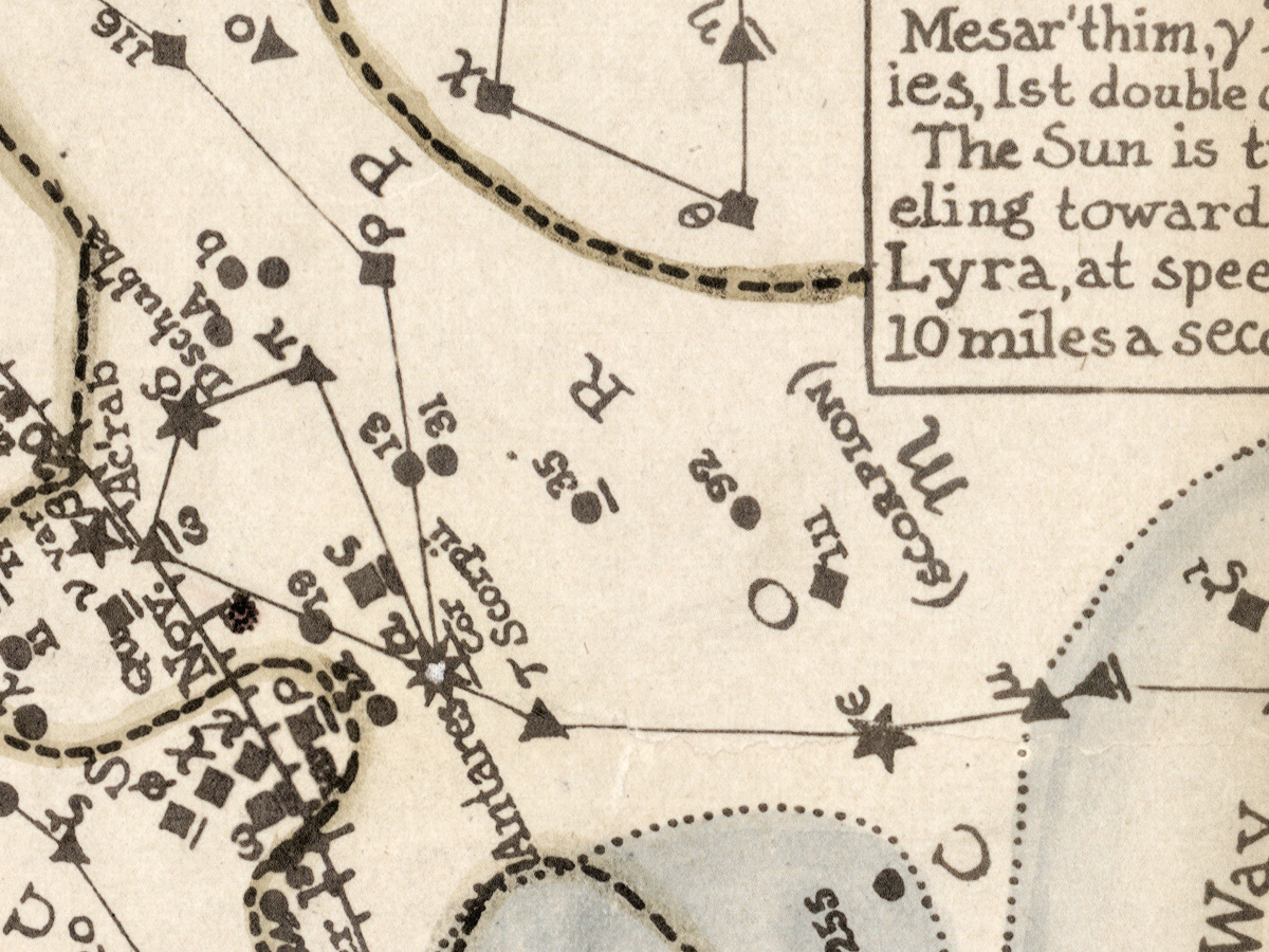
A constellation map of the northern sky, Philadelphia 1909
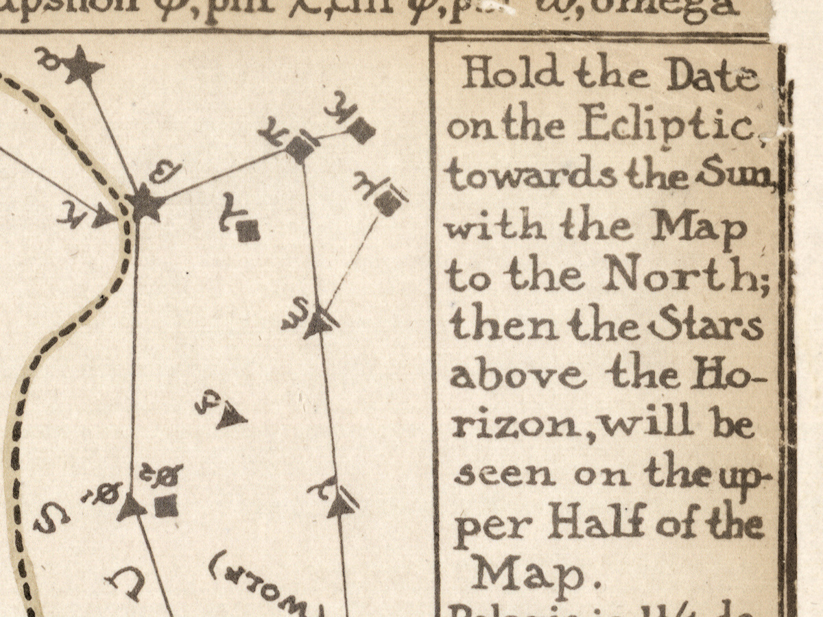
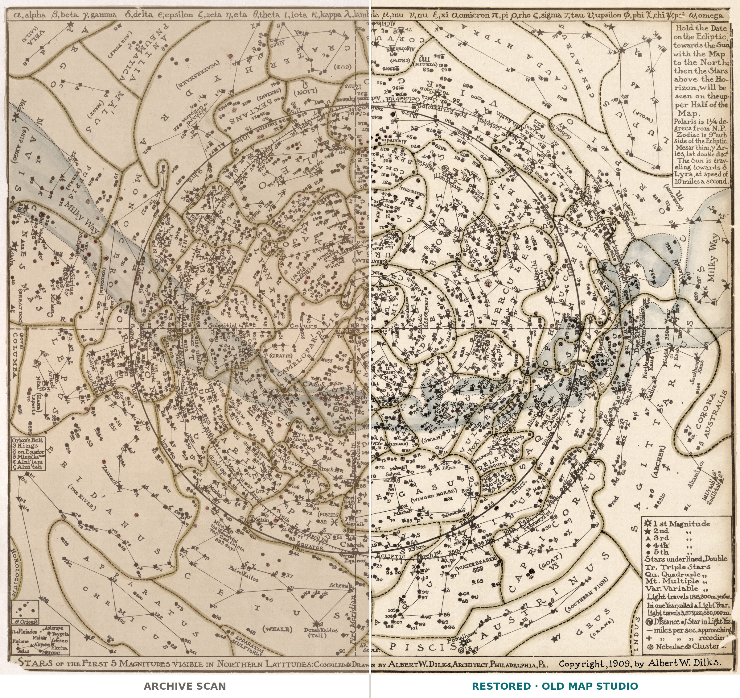
Albert W. Dilks published this chart of the stars of the first five magnitudes visible in northern latitudes in Philadelphia in 1909, with a copyright notice of the same year. The Library of Congress catalogs it under stars, astronomy and constellations.
Please note: the scanned copy is a photocopy
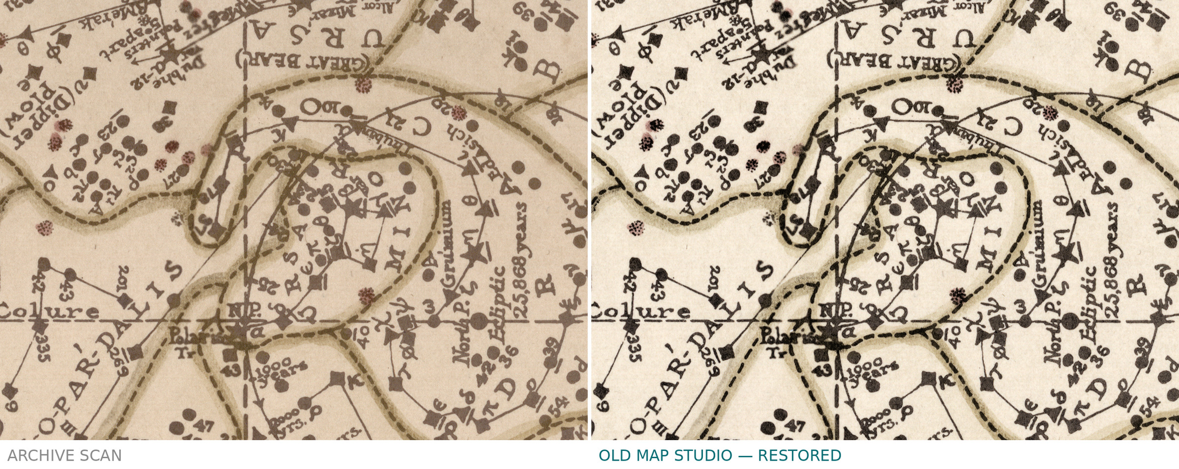
The Library of Congress copy, and therefore this file, is not the printed chart itself. The record calls it a color photocopy, mounted on cloth, with slightly different typography from the original printed copy it resembles. The chart measures 36 × 39 cm on a sheet of 45 × 59 cm. What you buy is a careful scan of that photocopy.
Your file
| Original | color photocopy of the 1909 chart, 36 × 39 cm on a 45 × 59 cm sheet, mounted on cloth, Library of Congress G3190 1909 .D5 |
| Scan | full sheet 6328 × 5765 px; the chart inside the trimmed border 6283 × 5733 px |
| Print size at 300 dpi | the chart prints to 53 cm (21 in); the scan has almost no margins, so the full sheet also prints to 53 cm (21 in) |
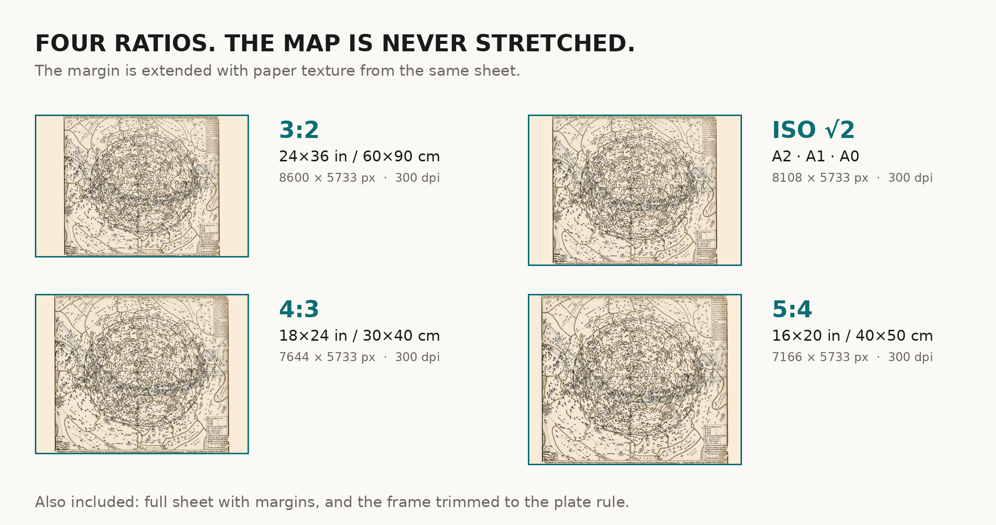
| You download | six ZIP archives: full sheet, trimmed, 3:2, 4:3, 5:4 and ISO A |
| Inside each one | one JPEG at 300 dpi, the restoration passport as a PDF, a READ ME |
How to print
- Pick the archive whose proportions match your frame; ask for matte fine-art paper in sRGB with auto-enhancement off.
- Where to print it: print shops near you and checked prices at online labs.
Source and rights
The file is made from the Library of Congress, Geography and Map Division, scan of call number G3190 1909 .D5. The chart was published in the United States in 1909 and is in the public domain there; the Library charges no permission fees. There is no TIFF master in the package. Catalogue record: Library of Congress →
Features
- English
Attachments
Reviews
No reviews found
See also
-
 Antique Celestial Map 1593 — Van Aelst, Spheres of Heaven
-
Antique Constellation Chart 1829 — Reissig, St Petersburg
-
Antique Star Chart 1708 — Typus Aspectuum, Northern Sky
-
Chinese Constellation Map 1601–1633 — Fen ye yu tu Manuscript
-
Antique Star Chart c. 1772 — Lotter, Planisphaerium Coeleste
-
Antique Constellation Map 1515 — Dürer, Imagines coeli Meridionales