Chinese Constellation Map 1601–1633 — Fen ye yu tu Manuscript
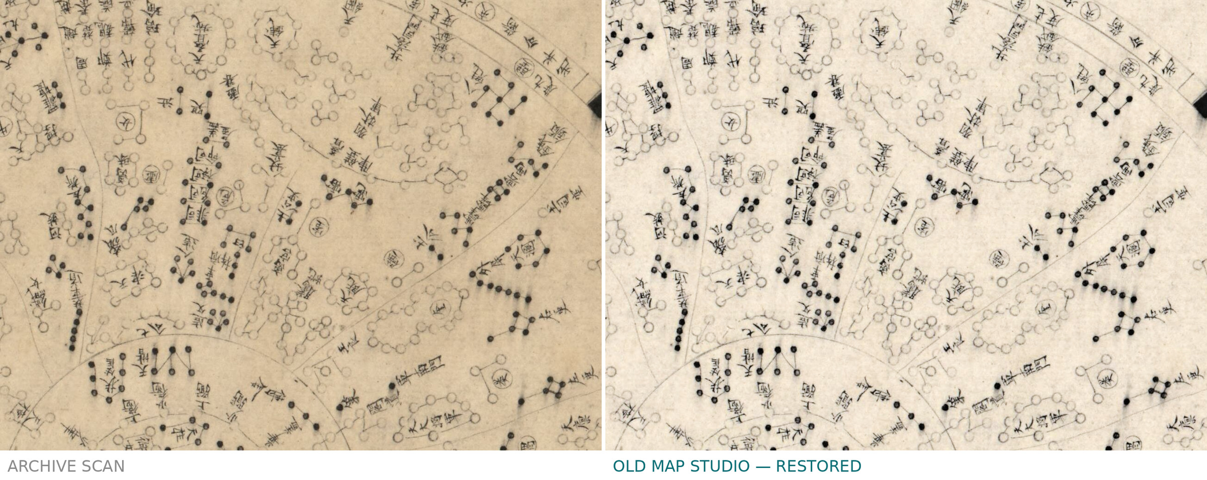
A Chinese constellation map from a Ming manuscript atlas
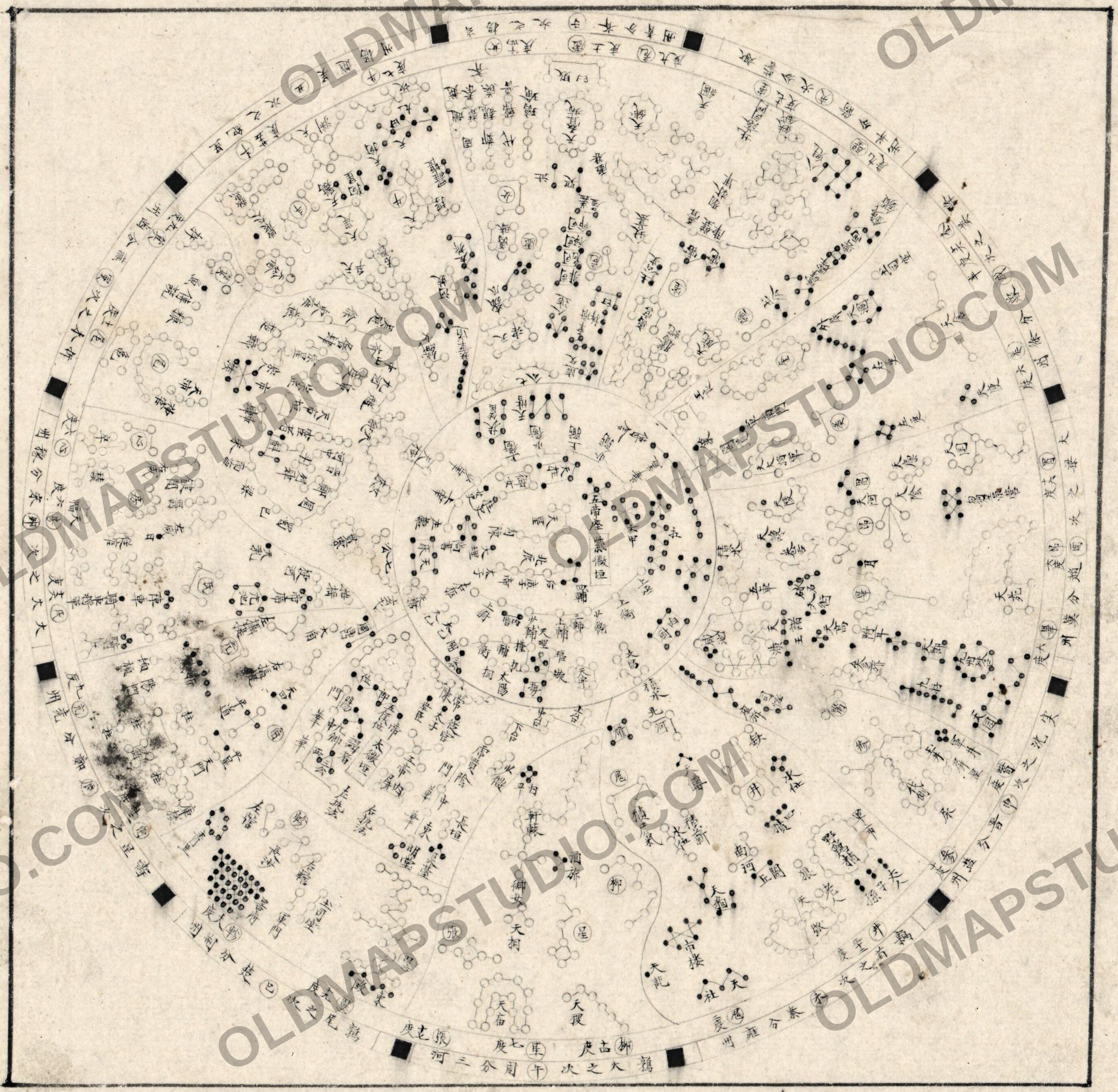
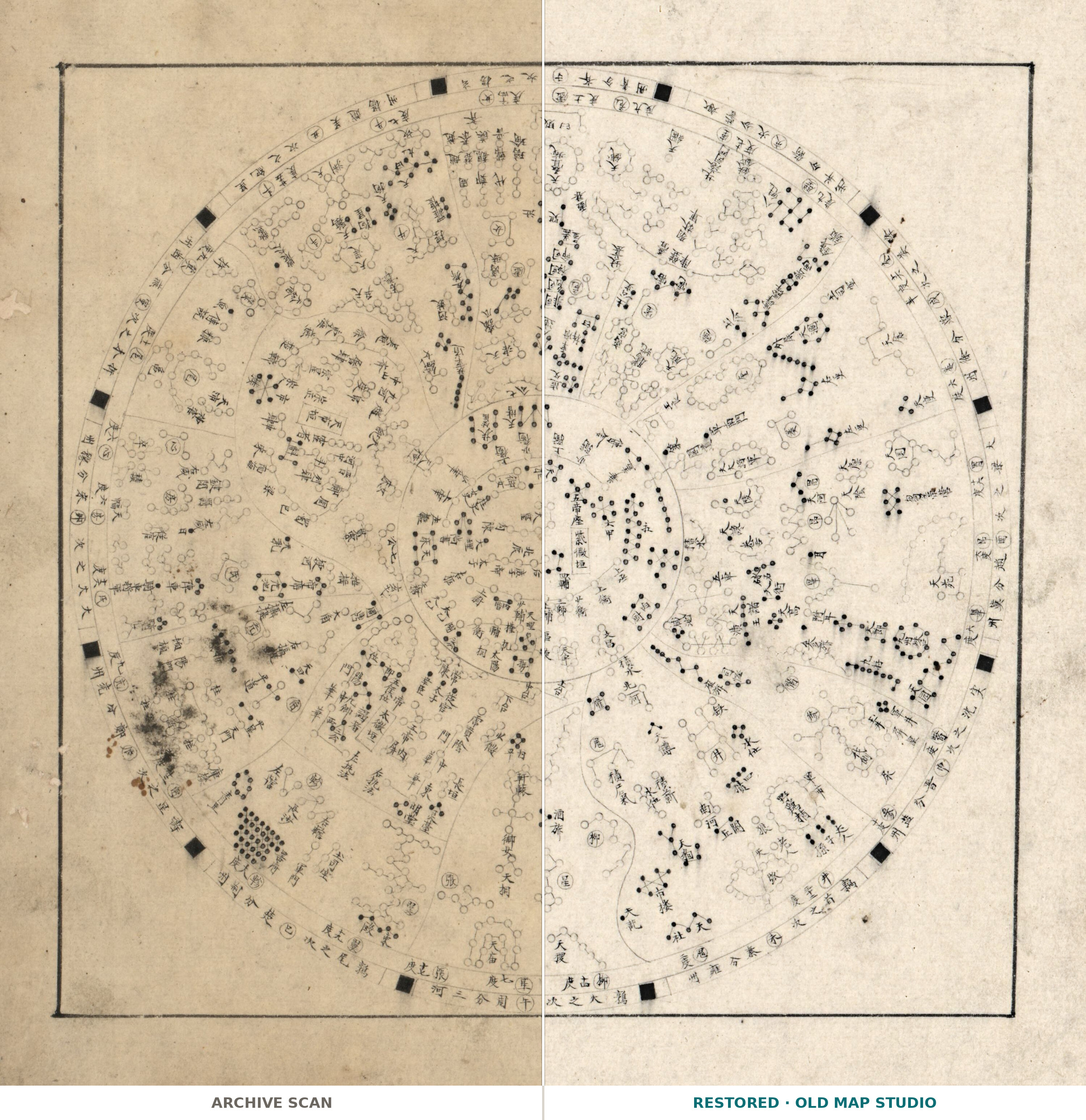
The astronomy chart of Fen ye yu tu (分野與圖), a manuscript atlas that the Library of Congress dates between 1601 and 1633 and renders as "Atlas of the realm: cosmology and provinces". Its twenty leaves of maps, 33 cm high, cover Beijing, Nanjing and thirteen other provinces of the Ming dynasty, and the record notes that it includes an astronomy chart — this is that leaf. It is drawn in pen and ink; no author is named.
What is on the sheet
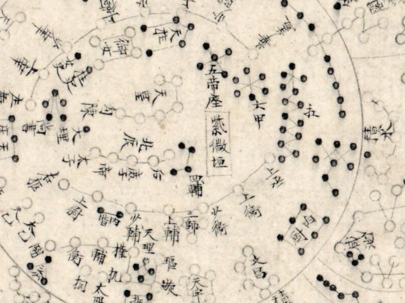
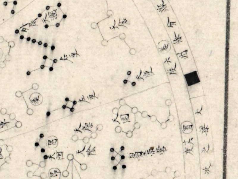
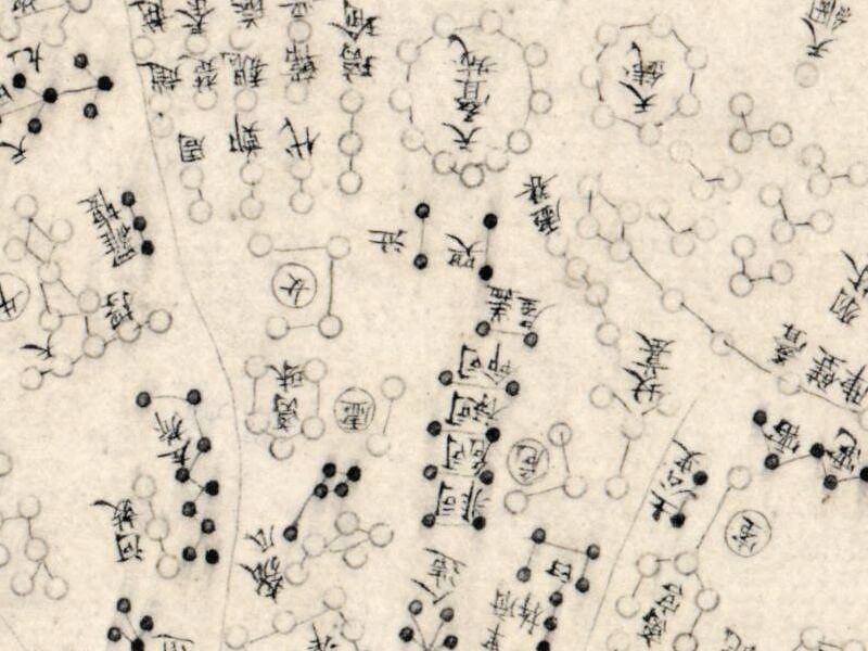
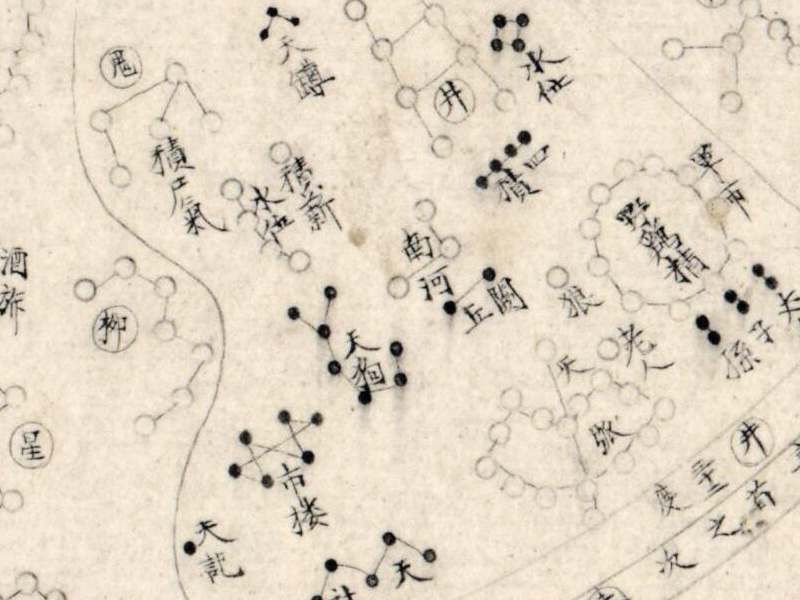
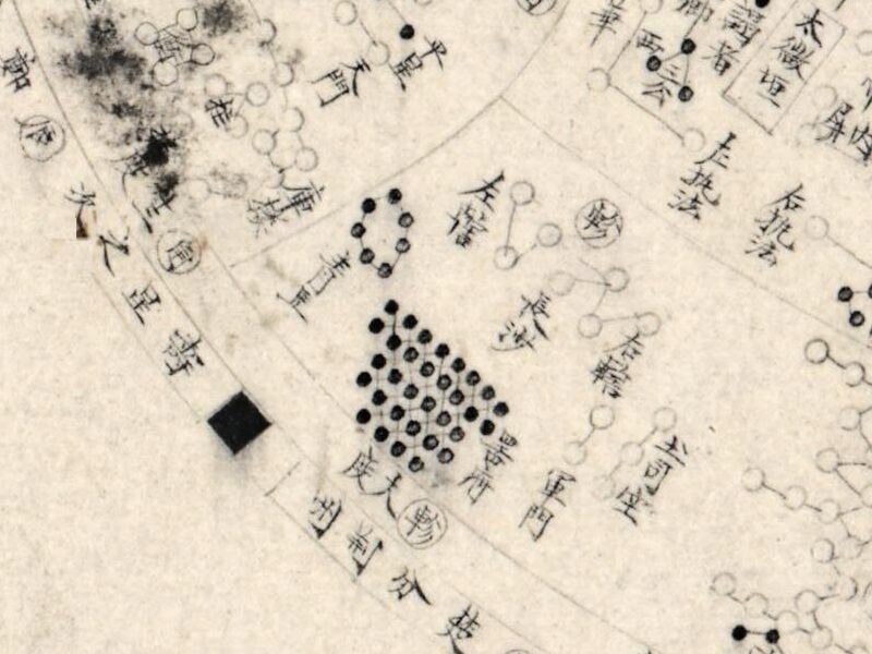
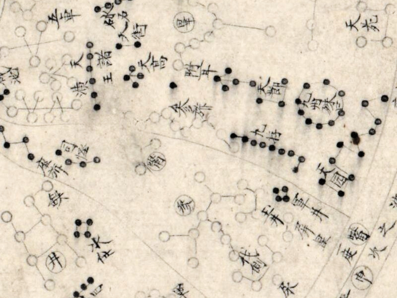
A circular chart of the sky, labeled in Chinese characters, with 紫微垣, the Purple Forbidden Enclosure around the pole, at its center.
Restoration
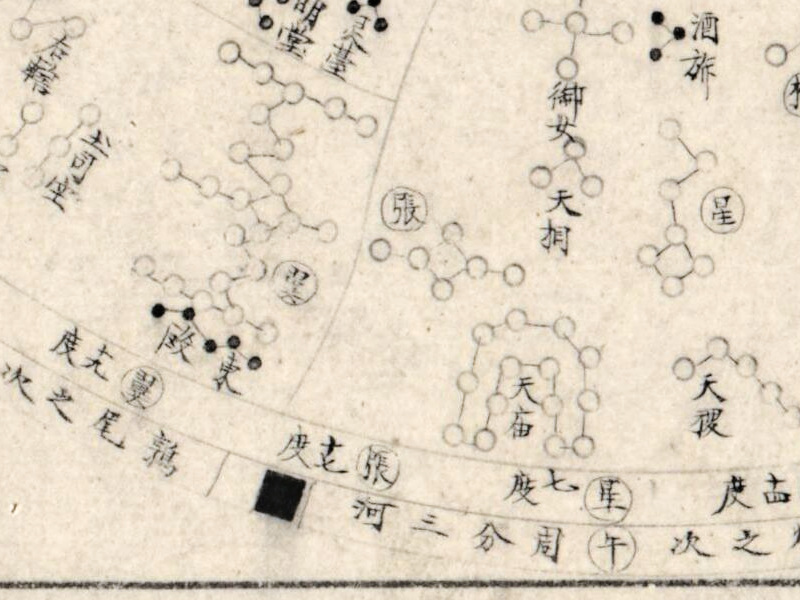
Brown drops on the bare paper were removed. Black ink blots lying over characters were left: they are the same ink as the drawing, and taking them out would erase the characters. At the character 次 a trace of about 10 × 15 pixels remains where a drop has merged with a stroke.
Your file
| Original | leaf of a manuscript atlas, pen and ink, 33 cm, Library of Congress G2306.F7 F4 1633 |
| Scan | full sheet 3000 × 3000 px; the chart inside the trimmed border 2730 × 2668 px |
| Print size at 300 dpi | the chart prints to 23 cm (9 in), the full sheet with margins to 25 cm (10 in) — a small file for a small frame |
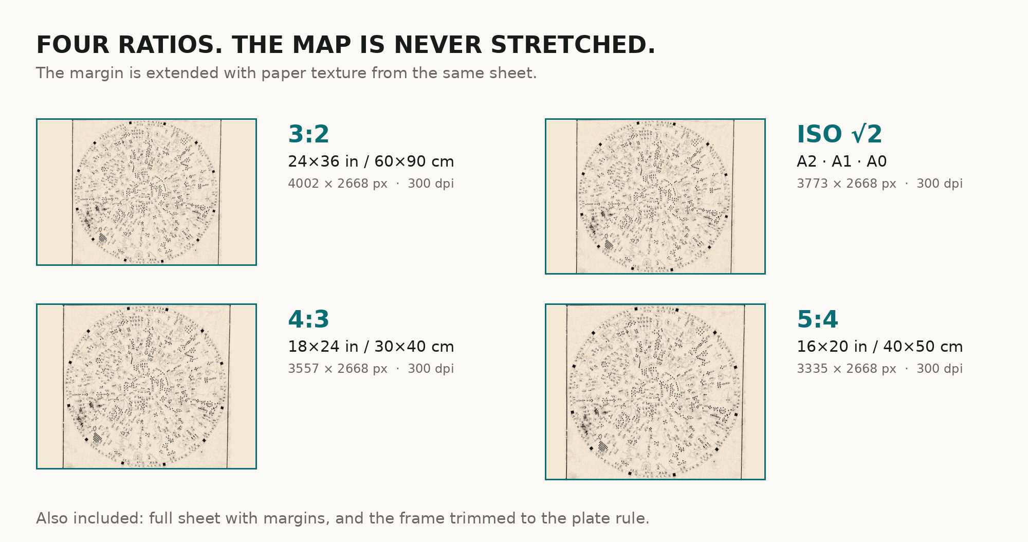
| You download | six ZIP archives: full sheet, trimmed, 3:2, 4:3, 5:4 and ISO A |
| Inside each one | one JPEG at 300 dpi, the restoration passport as a PDF, a READ ME |
How to print
- Pick the archive whose proportions match your frame; ask for matte fine-art paper in sRGB with auto-enhancement off.
- Where to print it: print shops near you and checked prices at online labs.
Source and rights
The file is made from the Library of Congress scan of item 2002626777, as published on Wikimedia Commons (Fen_ye_yu_tu._LOC_2002626777-4.jpg). The Library's digitized maps are free to use and reuse; this item carries no rights advisory. There is no TIFF master in the package. Catalogue record: Library of Congress →
- Chinese
No reviews found
See also
-
 Antique Constellation Chart 1829 — Reissig, St Petersburg
-
Antique Constellation Map 1515 — Dürer, Imagines coeli Meridionales
-
Constellation Map 1909 — Dilks, Stars of the First 5 Magnitudes
-
Antique Star Chart 1708 — Orbits of Mars, Jupiter and Saturn
-
Antique Celestial Map 1593 — Van Aelst, Spheres of Heaven
-
Antique Star Chart 1708 — Planisphaerium Arateum