Antique Constellation Chart 1829 — Reissig, St Petersburg

Description
An antique constellation chart from St Petersburg, 1829
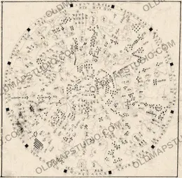
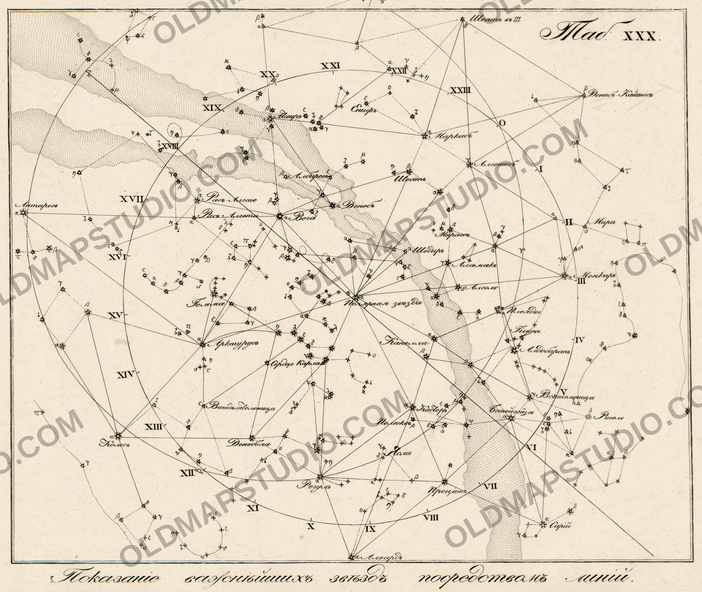
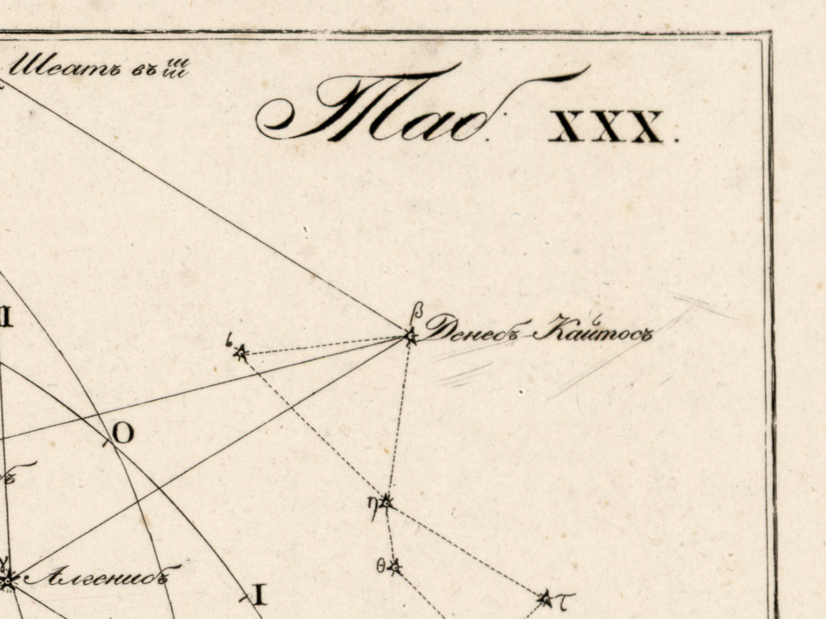
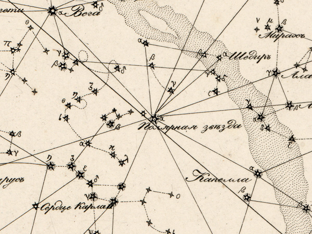
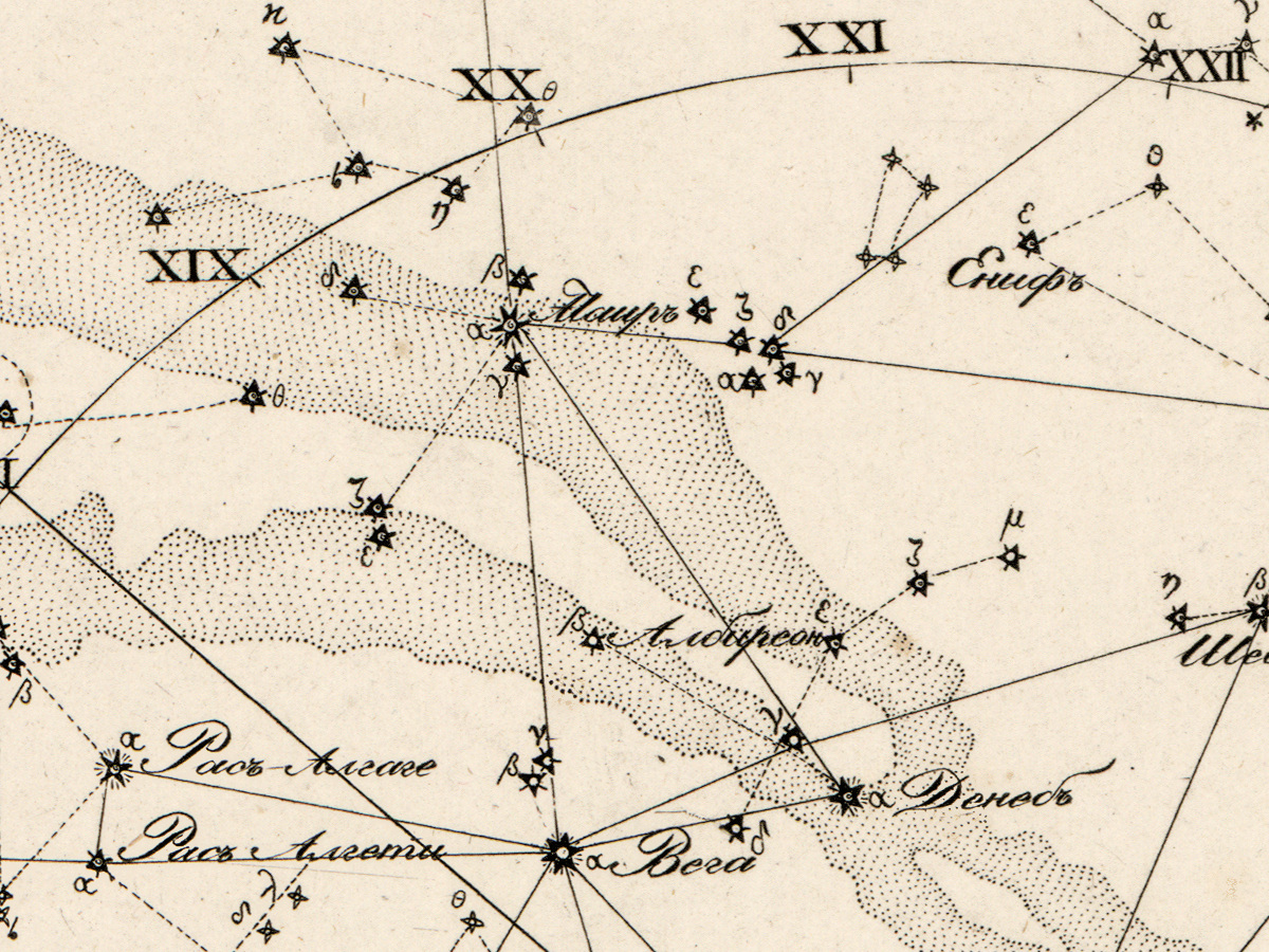
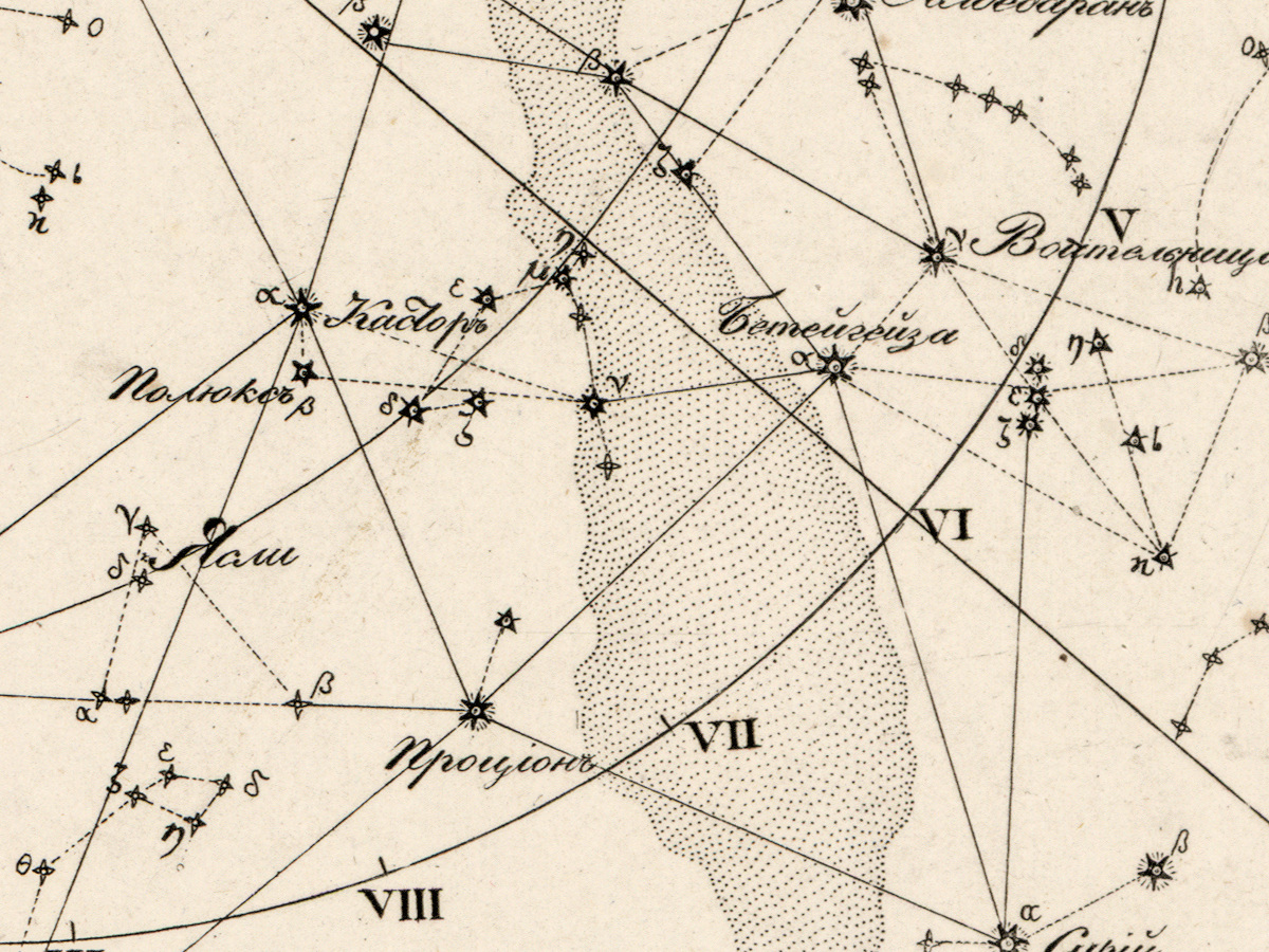
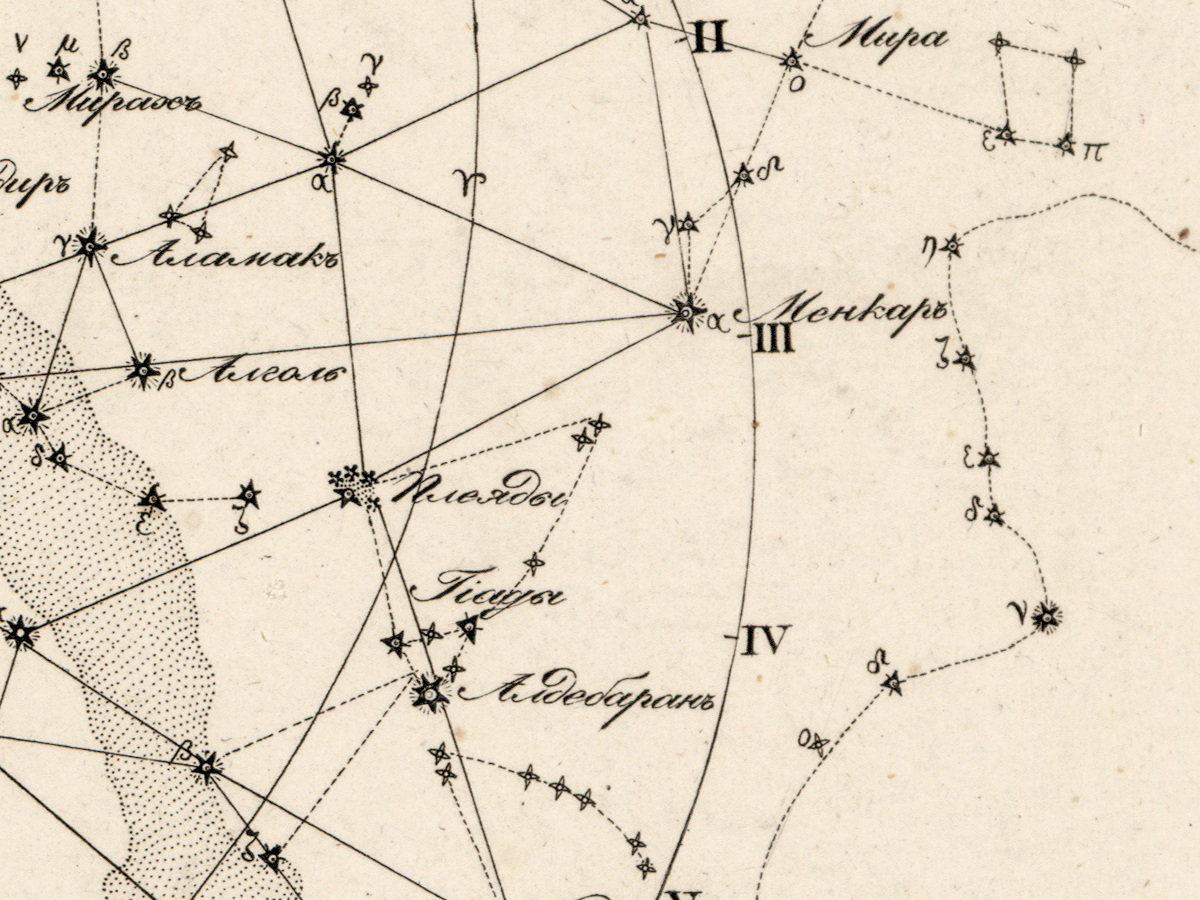
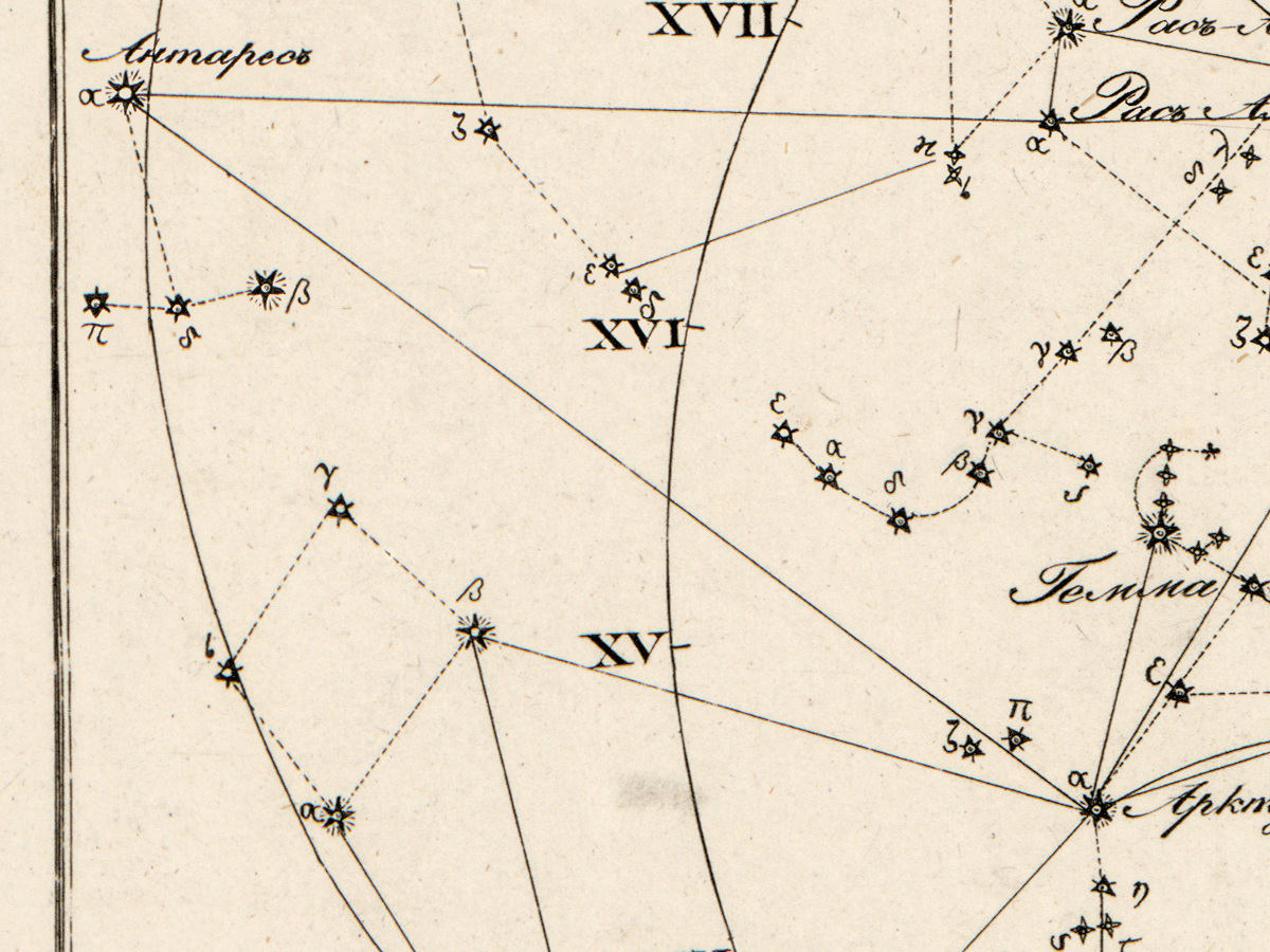
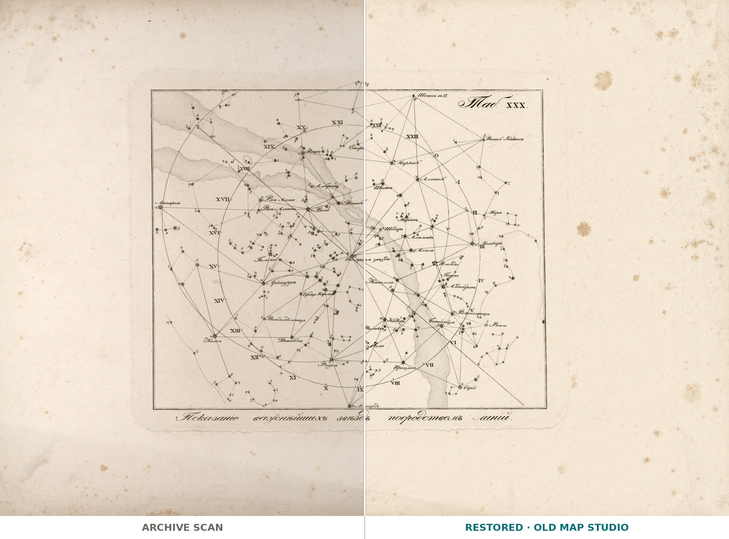
The last plate, Tab. XXX, of Kornelius Reissig's atlas of the constellations on thirty charts, with a description and a guide to finding them in the sky, compiled for schools and for amateurs of astrognosy. It was printed in St Petersburg by Kh. Gints in 1829. The caption on the plate reads «Показание важнейших звёзд посредством линий»: the principal stars shown by means of lines.
The record explains what makes the atlas unusual: 28 of its charts are printed in gold on black, with small holes punched for the bright stars and transparent paper behind them so that light shines through. Tab. XXX is not one of those — it is printed on plain paper, without color.
Restoration
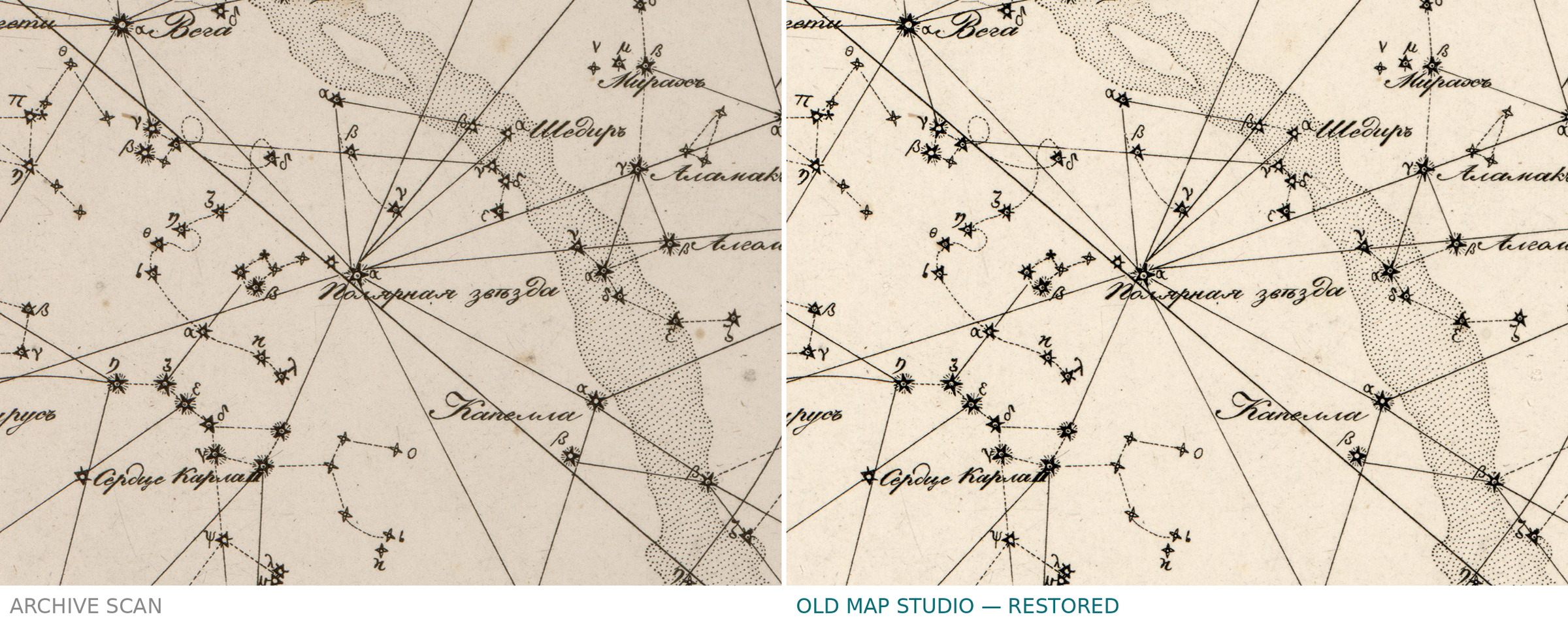
74 brown foxing spots were removed from the paper one by one; the printed lines were left untouched.
Your file
| Original | plate from an atlas of 33 plates, 34 × 48 cm, St Petersburg 1829, Library of Congress G1000.2 .R4 1829 |
| Scan | full sheet 6461 × 4577 px; the plate inside the trimmed border 3590 × 3030 px |
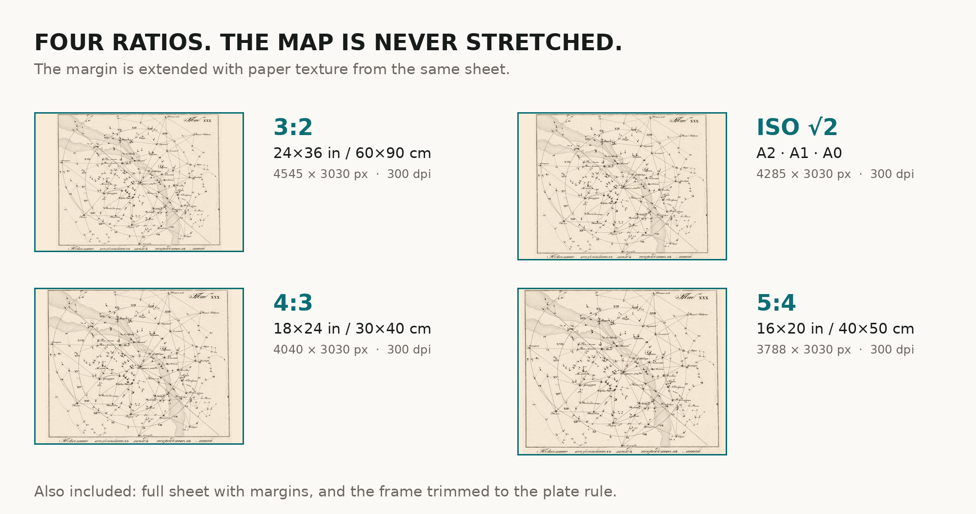
| Print size at 300 dpi | the plate prints to 30 cm (12 in), the full sheet with its wide margins to 54 cm (21 in) |
| You download | six ZIP archives: full sheet, trimmed, 3:2, 4:3, 5:4 and ISO A |
| Inside each one | one JPEG at 300 dpi, the restoration passport as a PDF, a READ ME |
How to print
- Pick the archive whose proportions match your frame; ask for matte fine-art paper in sRGB with auto-enhancement off.
- Where to print it: print shops near you and checked prices at online labs.
Source and rights
The file is made from the Library of Congress, Geography and Map Division, scan of call number G1000.2 .R4 1829; the Library states that the content is free to use and reuse. The record does not name the printing technique of the charts. There is no TIFF master in the package. Catalogue record: Library of Congress →
Features
- Russian
Attachments
Reviews
No reviews found
See also
-
 Constellation Map 1909 — Dilks, Stars of the First 5 Magnitudes
-
Chinese Constellation Map 1601–1633 — Fen ye yu tu Manuscript
-
Antique Celestial Map 1593 — Van Aelst, Spheres of Heaven
-
Antique Constellation Map 1515 — Dürer, Imagines coeli Meridionales
-
Antique Star Chart 1708 — Typus Aspectuum, Northern Sky
-
Antique Star Chart 1708 — Orbits of Mars, Jupiter and Saturn