Antique Star Chart c. 1772 — Lotter, Planisphaerium Coeleste

Video
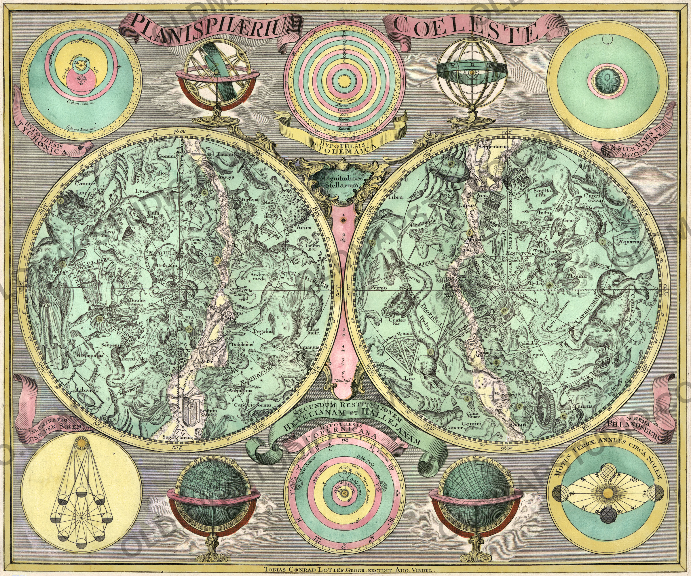
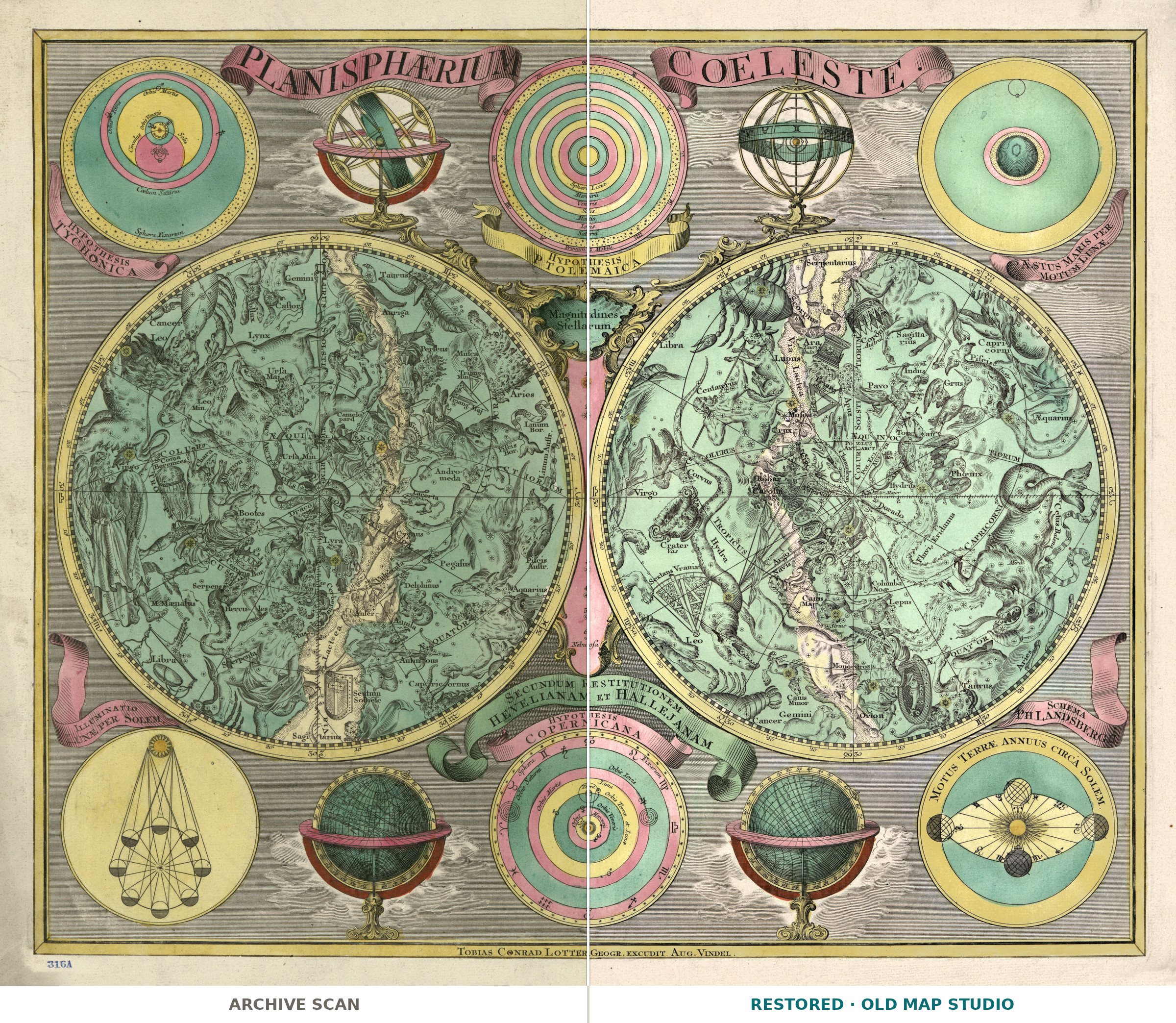
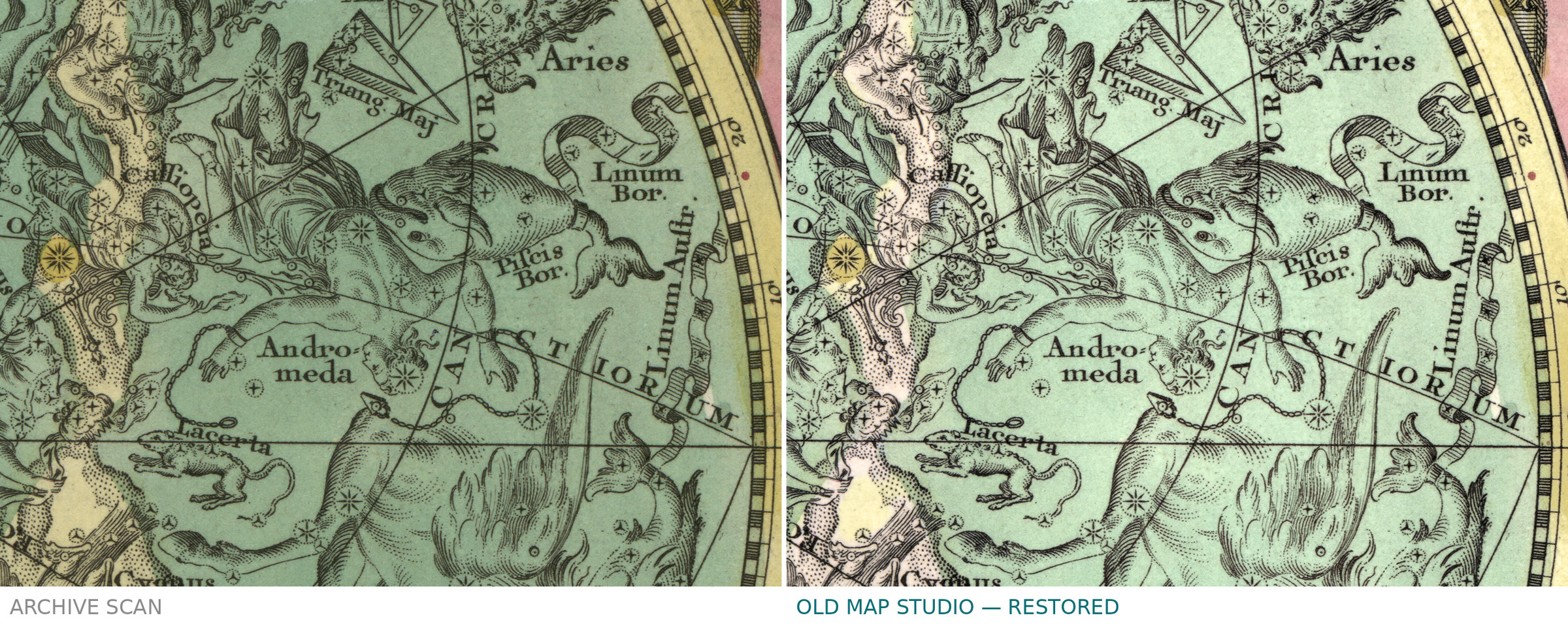
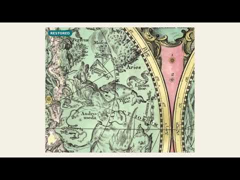
Lotter's Planisphaerium Coeleste, c. 1772: library scan vs restored
Description
A constellation map after Hevelius and Halley, Augsburg around 1772
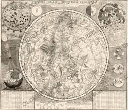
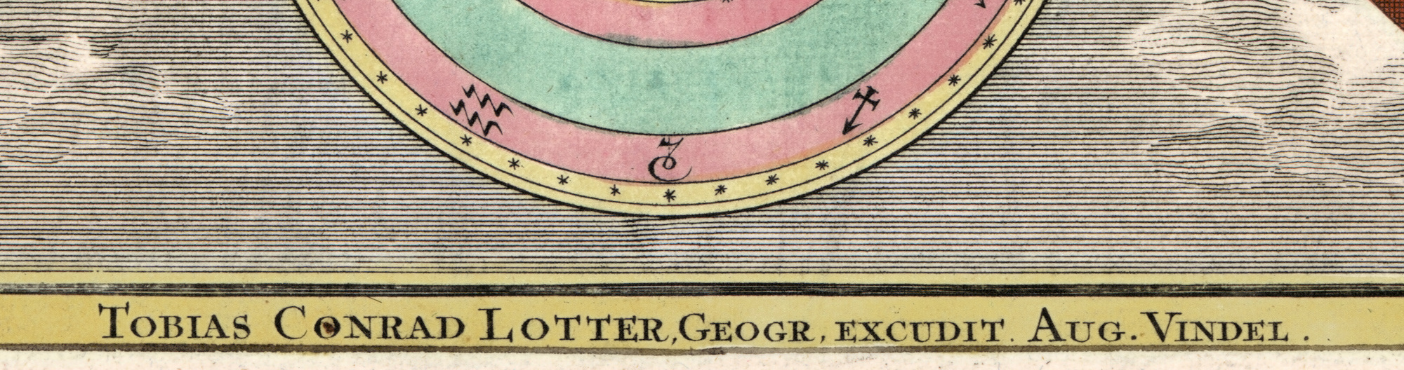
Planisphaerium coeleste secundum restitutionem Hevelianam et Hallejanam — the celestial planisphere, after the restoration of the sky by Hevelius and Halley. Tobias Conrad Lotter (1717–1777) made it in Augsburg, the Augusta Vindelicorum of the imprint, and the sheet was later detached from his Atlas novus. The Library of Congress dates it [1772?]: the brackets and the question mark are the library's own, so our name says c. 1772.
Two skies around the poles of the ecliptic
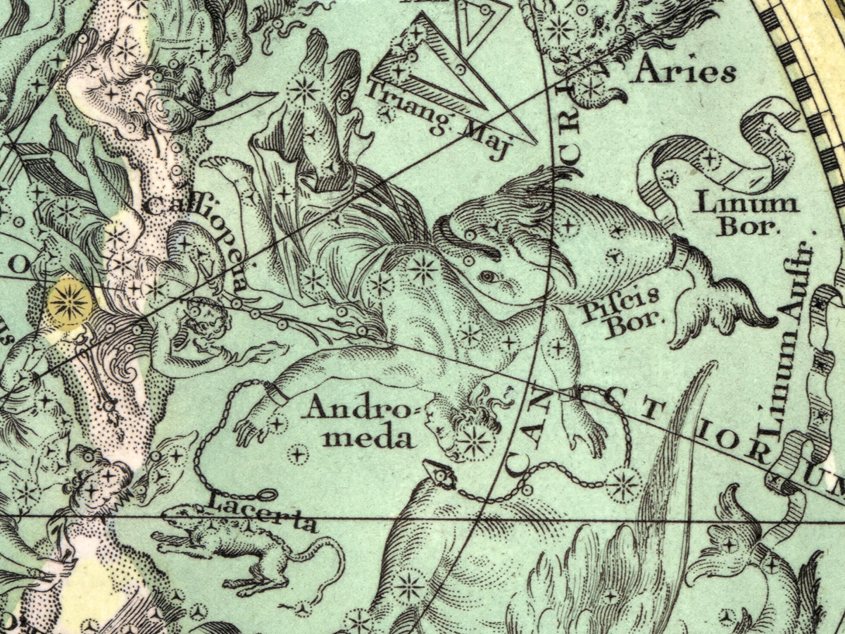
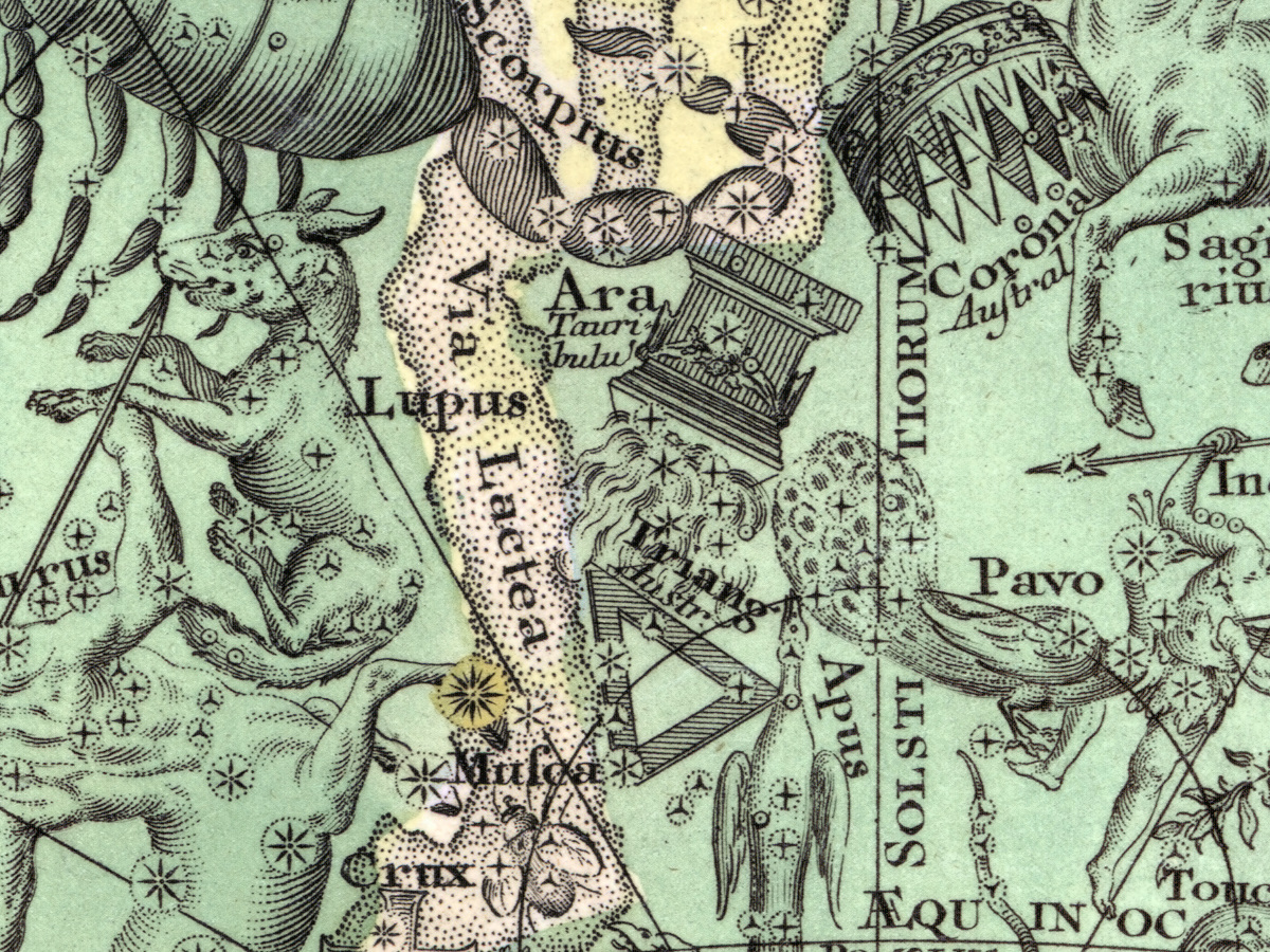
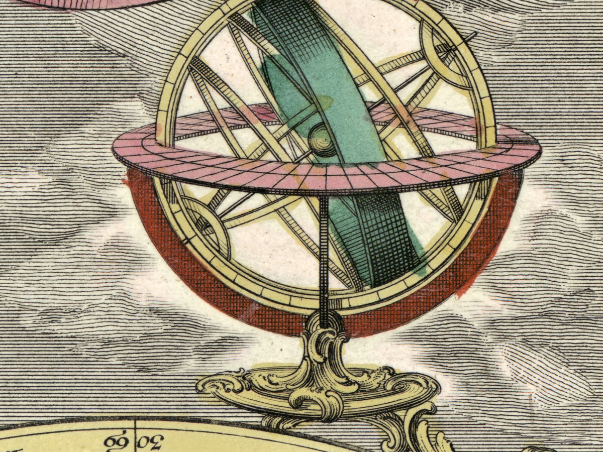
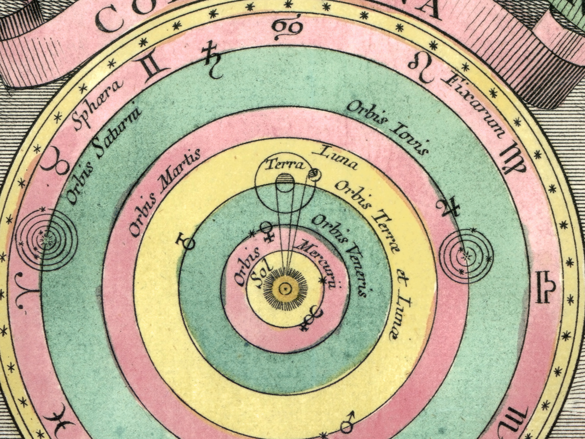
The record describes two hemispheres, each 26 cm across, drawn from the pole of the ecliptic out to the ecliptic itself, in the style of Hevelius and the format of Eimmart. They show the non-Ptolemaic constellations as well — figures that later astronomers added to the old catalogue. Around the two skies the sheet carries six diagrams and four globes and armillary spheres.
Color kept in restoration
The library describes the sheet as colored and mounted on cloth backing, 48 × 57 cm; it does not say how or when the color was applied. In restoration we used the treatment for colored sheets, so the color on the file is the sheet's own, neither bleached out with the paper tone nor repainted. The record does not name the printing technique, and neither do we.
Your file
| Original | Tobias Conrad Lotter, Augsburg, c. 1772, detached from his Atlas novus |
| Sheet | 48 × 57 cm, two hemispheres of 26 cm, colored |
| Scan | full sheet 7303 × 6120 px; the chart inside the trimmed border 6987 × 5828 px. From the library's own scan, not an upscale |
| Print size at 300 dpi | the map prints to 59 cm (23 in), the full sheet with margins to 61 cm (24 in) |
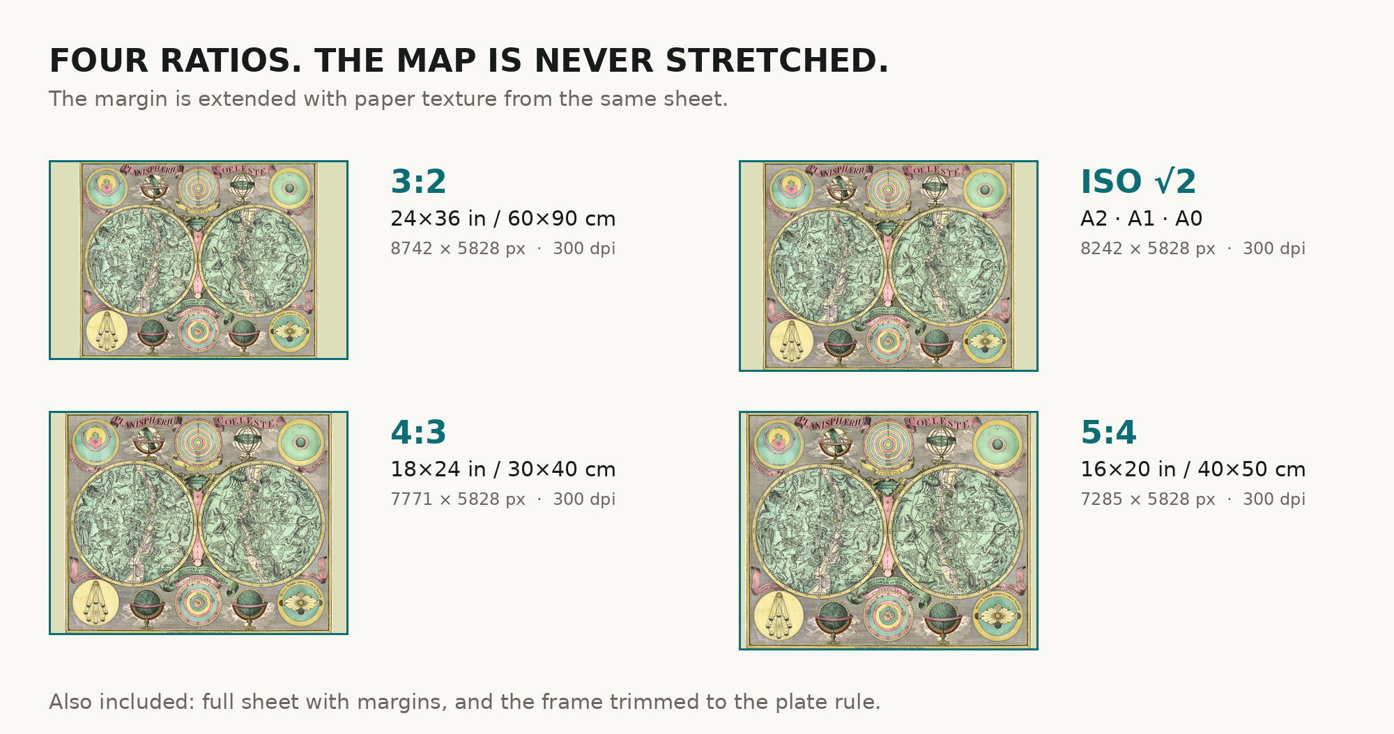
| You download | six ZIP archives: full sheet, trimmed, 3:2, 4:3, 5:4 and ISO A |
| Inside each one | one JPEG at 300 dpi, the restoration passport as a PDF, a READ ME |
How to print
- Print at 300 dpi at the size above and do not let the shop scale the file up.
- Pick the archive whose proportions match your frame, so nothing is cropped or stretched.
- Ask for matte fine-art paper, printed in sRGB with auto-enhancement off.
- Where to print it: print shops near you and checked prices at online labs.
Source and rights
Library of Congress, Geography and Map Division, call number G3190 1772 .L6, LCCN 2012589701. The library states that the content of its Geography and Map Division digitized collections is free to use and reuse. There is no TIFF master in the package. Catalogue record: Library of Congress →
Questions
What exactly do I get after paying?
Six ZIP archives, each with one JPEG at 300 dpi, a restoration passport as a PDF and a READ ME. They differ only in framing.
Why c. 1772?
The library gives the year as [1772?], after the atlas the sheet was taken from. The question mark is theirs, so we keep the estimate visible.
What are non-Ptolemaic constellations?
Constellations beyond the old list of Ptolemy, added by later astronomers. The record notes that this chart includes them.
Features
- Latin
Attachments
Reviews
No reviews found
See also
-
 Antique Star Chart 1716 — Homann, Systema Mundi Tychonicum
-
Antique Star Chart 1708 — Typus Aspectuum, Northern Sky
-
Antique Star Chart 1700 — Allard, Southern Celestial Hemisphere
-
Antique Celestial Map 1593 — Van Aelst, Spheres of Heaven
-
Antique Star Chart 1708 — Situs Terrae, Ptolemaic Heavens
-
Constellation Map 1909 — Dilks, Stars of the First 5 Magnitudes