Carte ancienne du monde 1799 — Chart of the World
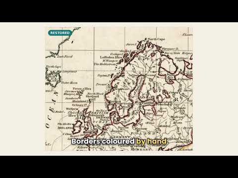
Vidéo
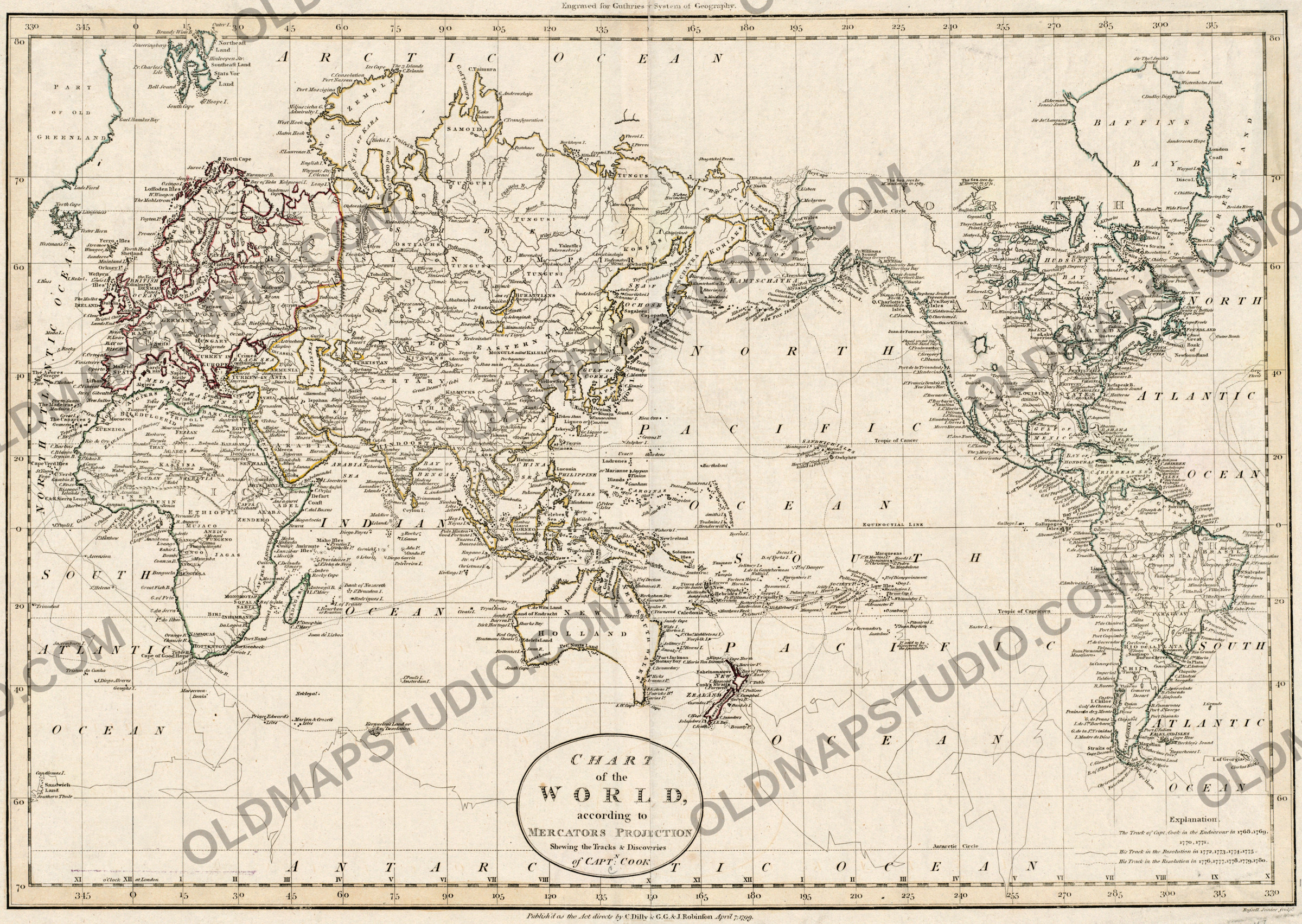
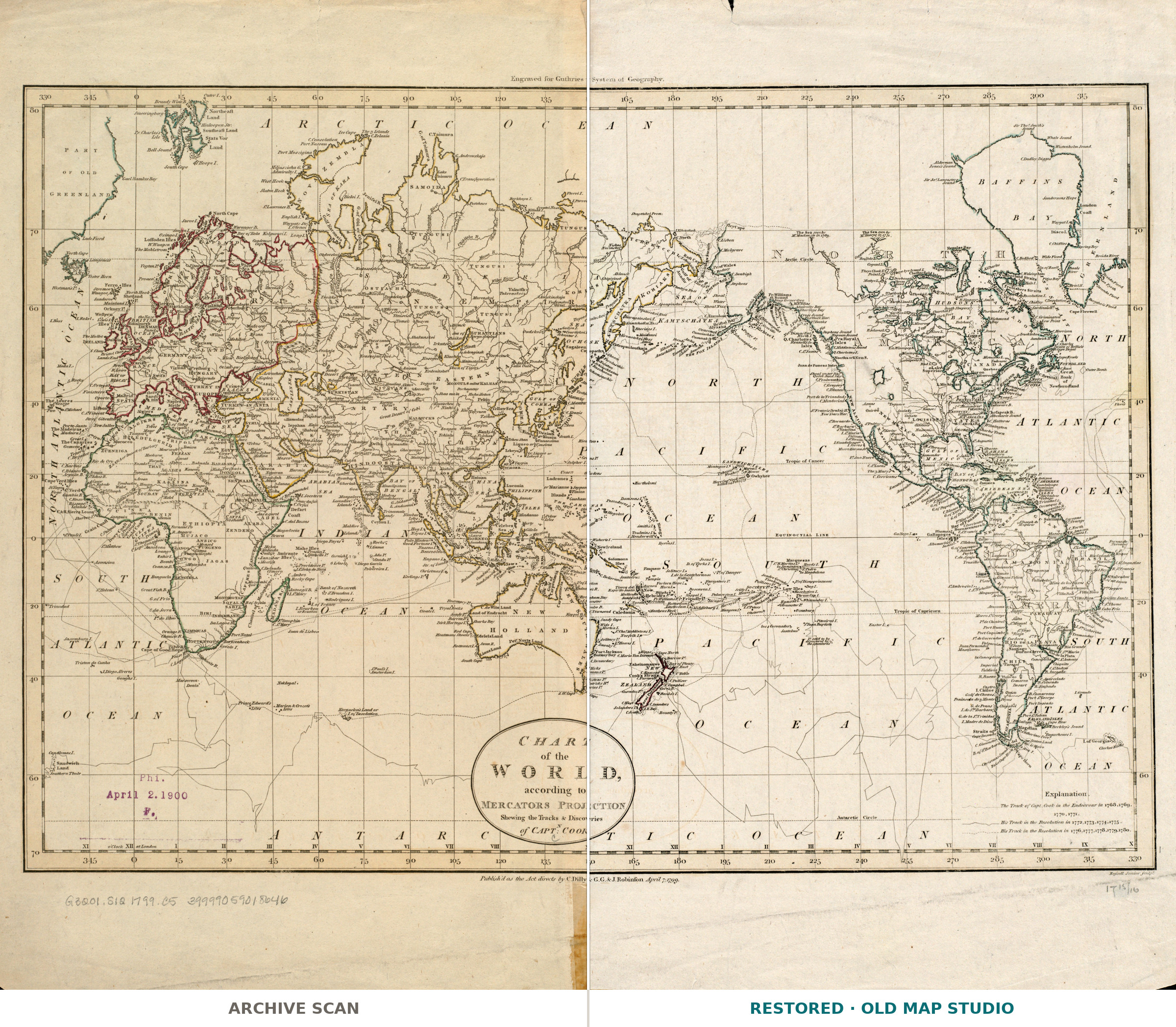
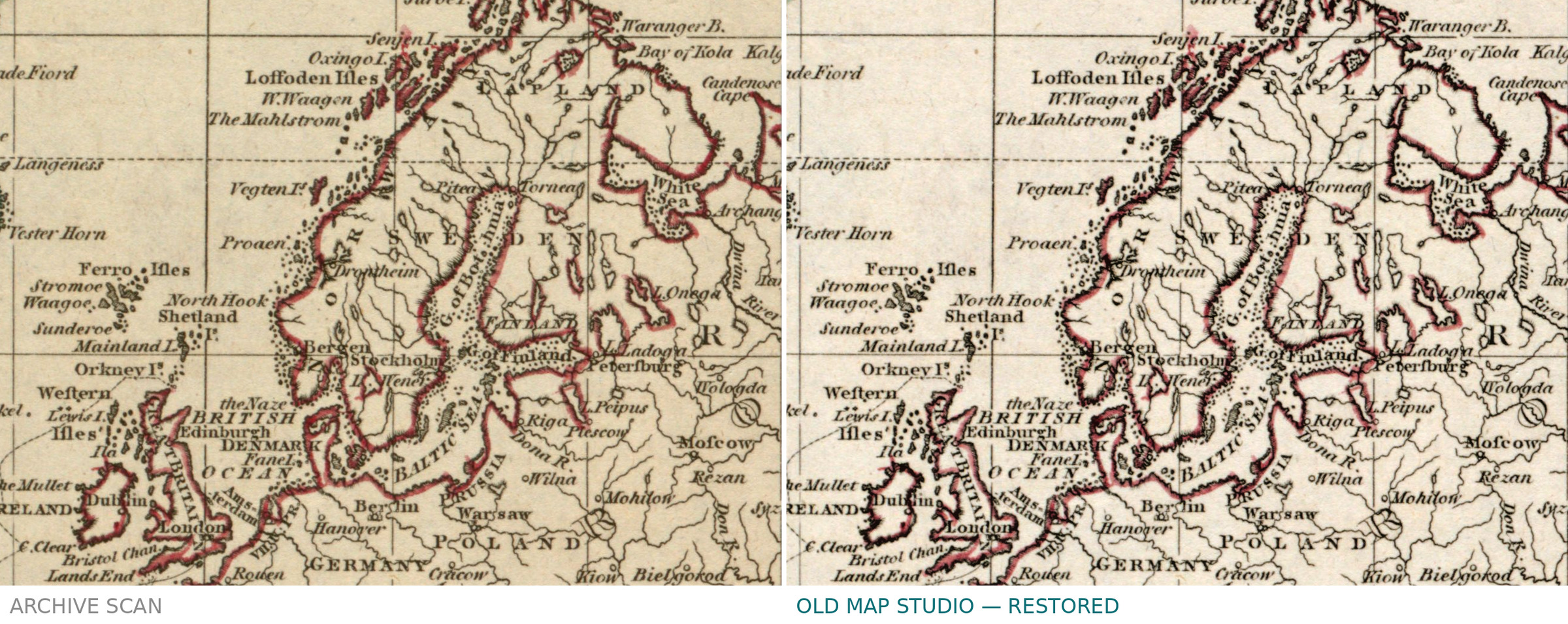
Chart of the World with Captain Cook's voyages, 1799: library scan vs restored
Description
An old world map drawn around Cook's voyages
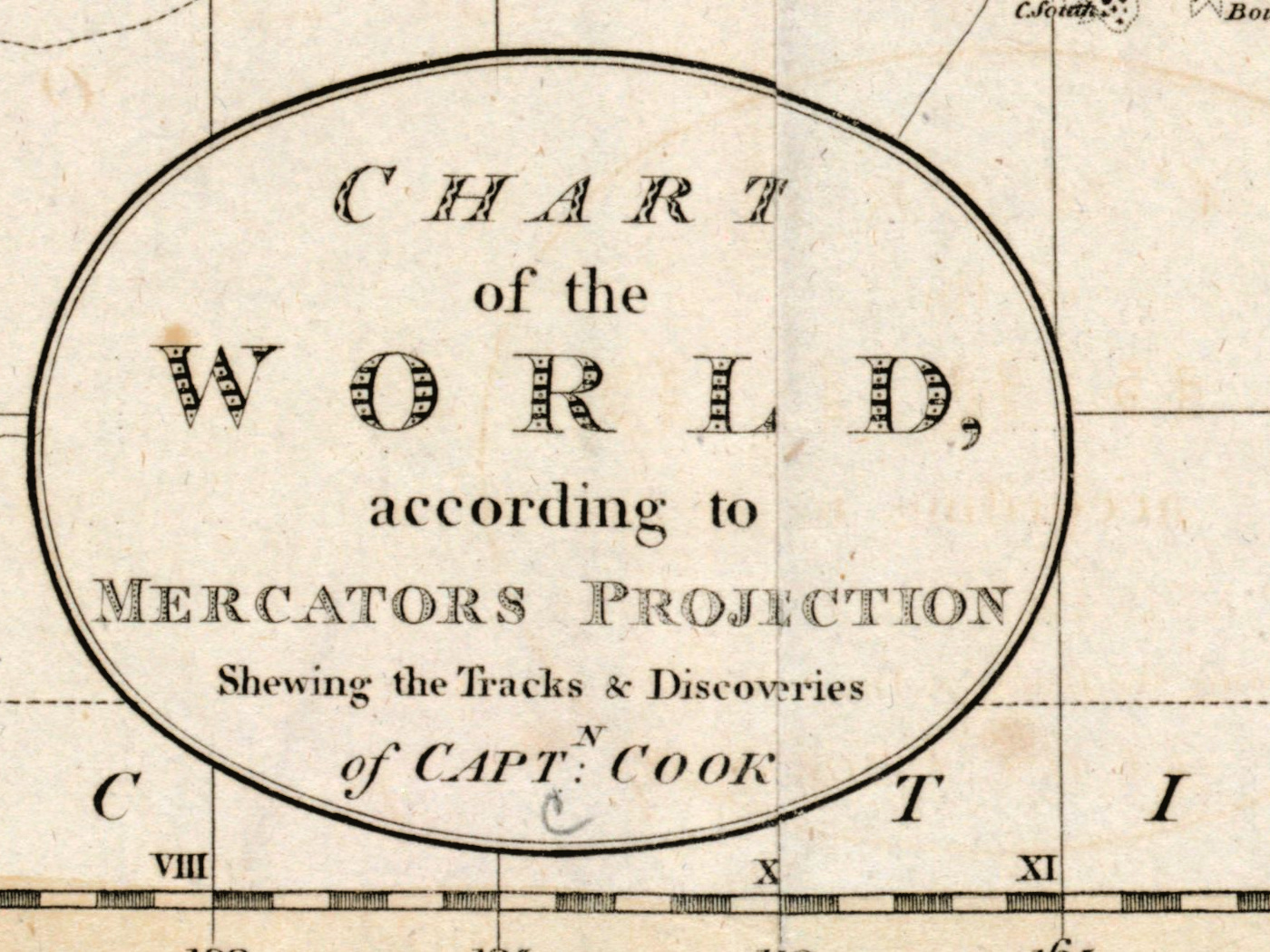
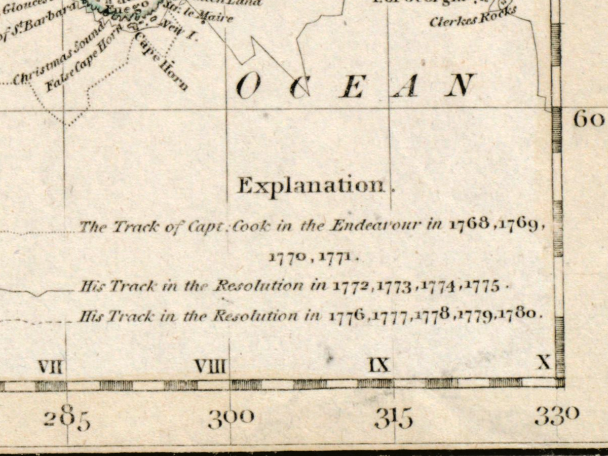
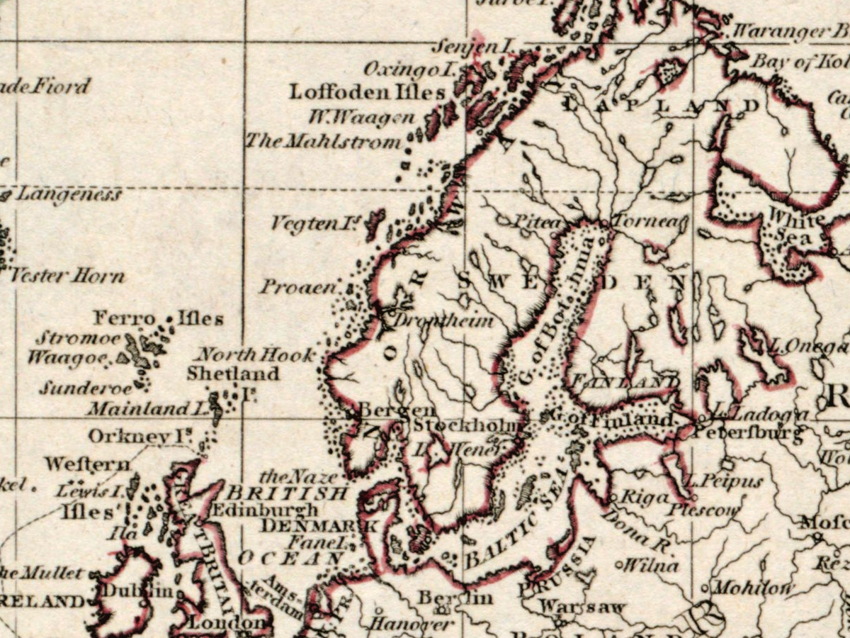
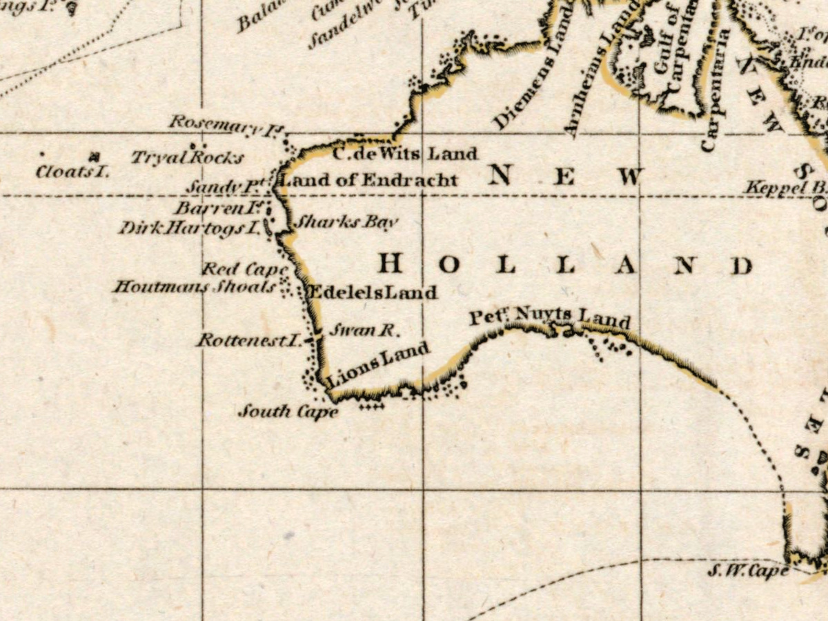
The full title says what the sheet is for: Chart of the world according to Mercators projection, shewing the tracks & discoveries of Captn. Cook. London, 1799 — twenty years after Cook died in Hawaii, his routes had become the frame through which Europe pictured the Pacific. The plate was engraved for Guthrie's new system of geography by an engraver who signs himself Russell Junior, and relief is drawn pictorially.
Your file
| Original | London, 1799, copper engraving, engraved by Russell Junior for Guthrie's new system of geography |
| Sheet | 32 × 46 cm |
| Print size at 300 dpi | up to 68 cm (27 in) on the long side |
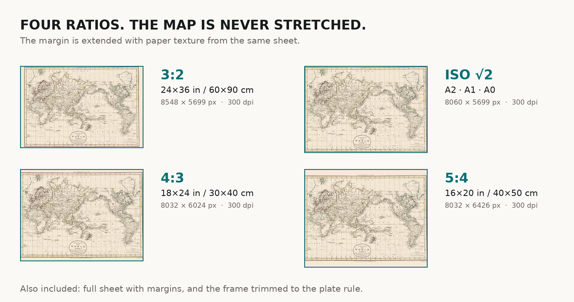
| You download | six ZIP archives: full sheet, trimmed, 3:2, 4:3, 5:4 and ISO A |
| Inside each one | one JPEG at 300 dpi, the restoration passport as a PDF, a READ ME |
How to print
- Print at 300 dpi at the size above and do not let the shop scale the file up.
- Pick the archive whose proportions match your frame, so nothing is cropped or stretched.
- Où l’imprimer : imprimeurs près de chez vous et prix vérifiés des laboratoires en ligne.
Source and rights
Boston Public Library, Norman B. Leventhal Map & Education Center Collection, shelfmark G3201.S12 1799 .C5, record commonwealth:9s161c696. No known copyright restrictions on use, and the library is named in the passport inside every archive. Notice du catalogue : Leventhal Map & Education Center →
Caractéristiques
- Anglais
Pièces jointes
Avis
Aucun avis trouvé
Voir aussi
-
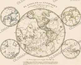
 Carte ancienne du monde 1816 — Stieler, Planiglob der Antipoden
-
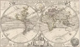
Carte ancienne du monde 1709 — Moll, A New and Correct Map
-
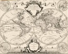
Carte ancienne du monde vers 1696 — Sanson, Mappe-monde
-
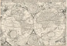
Carte ancienne du monde 1655 — Hondius, Nova Totius Terrarum Orbis
-
Carte ancienne du monde 1752 — Robert de Vaugondy, Mappemonde
-
Carte ancienne du monde 1645 — Blaeu, Globe Terrestre