Antique Star Chart 1716 — Homann, Systema Mundi Tychonicum


Description
A celestial map of the Tychonic system, Nuremberg 1716
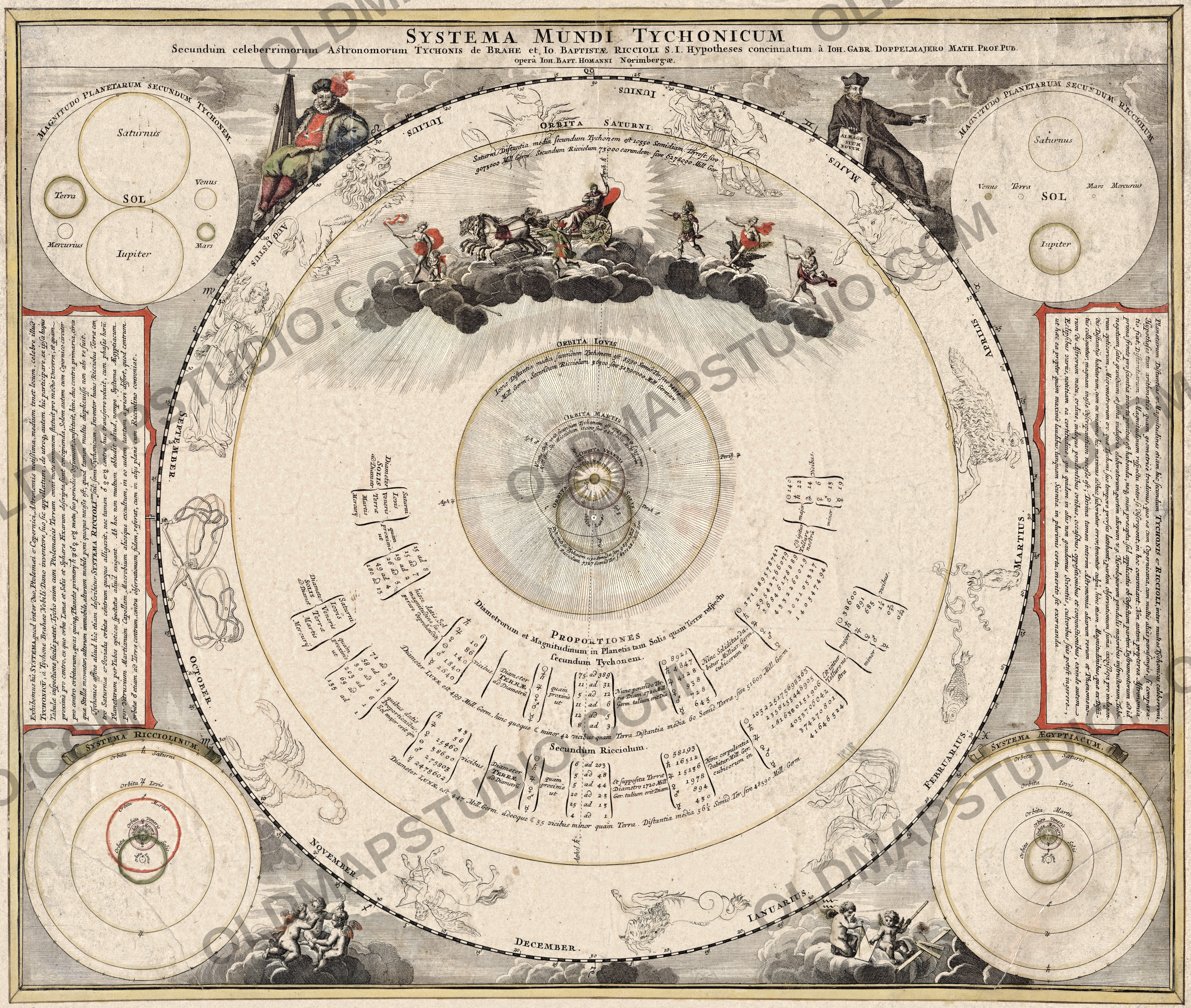
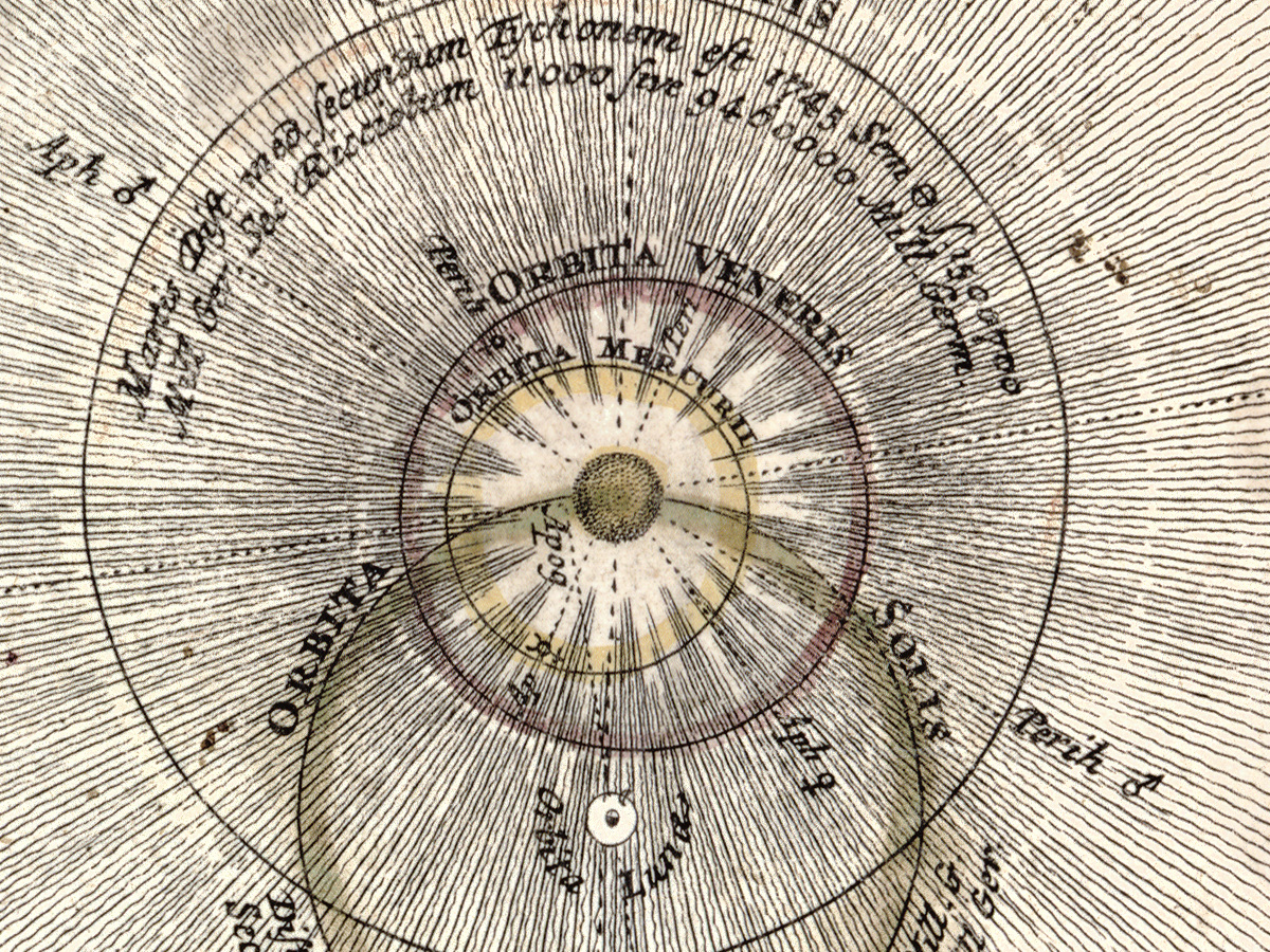
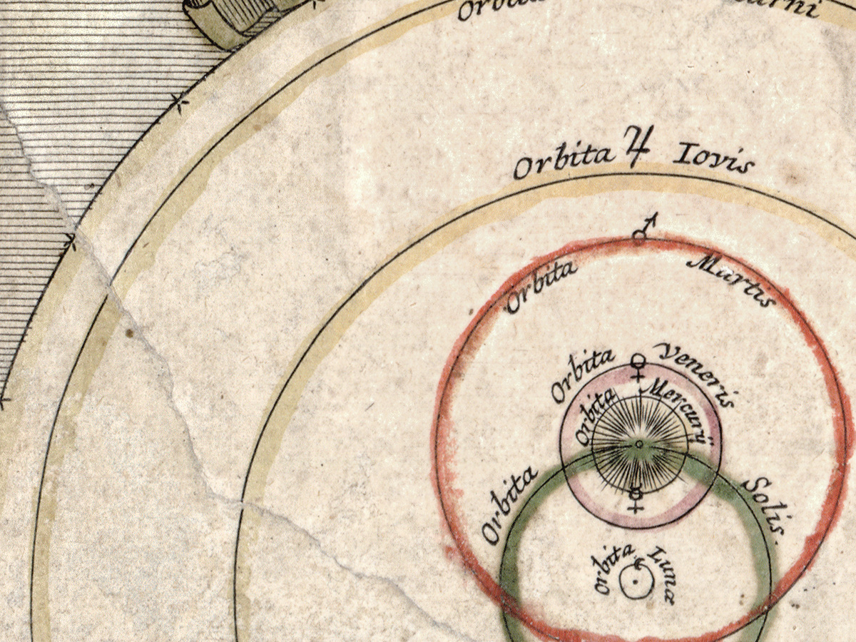
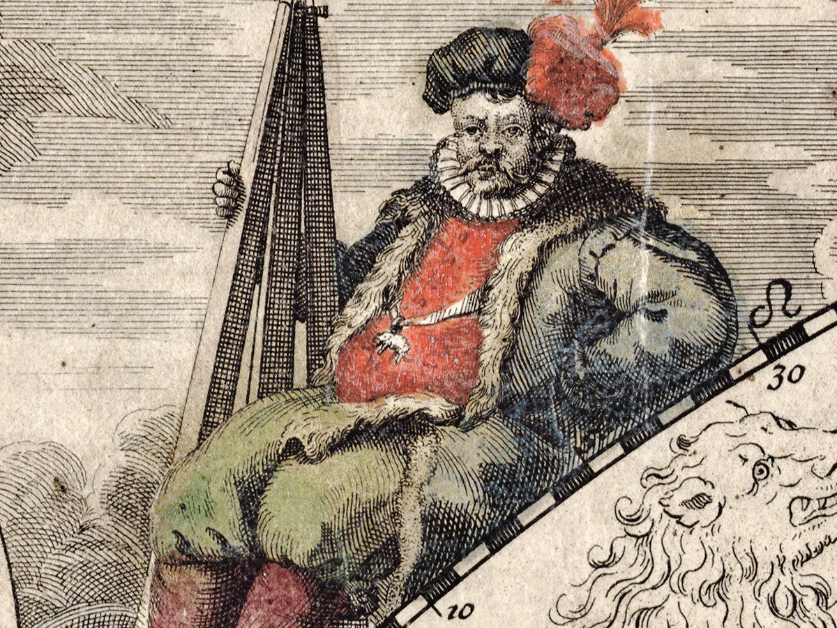
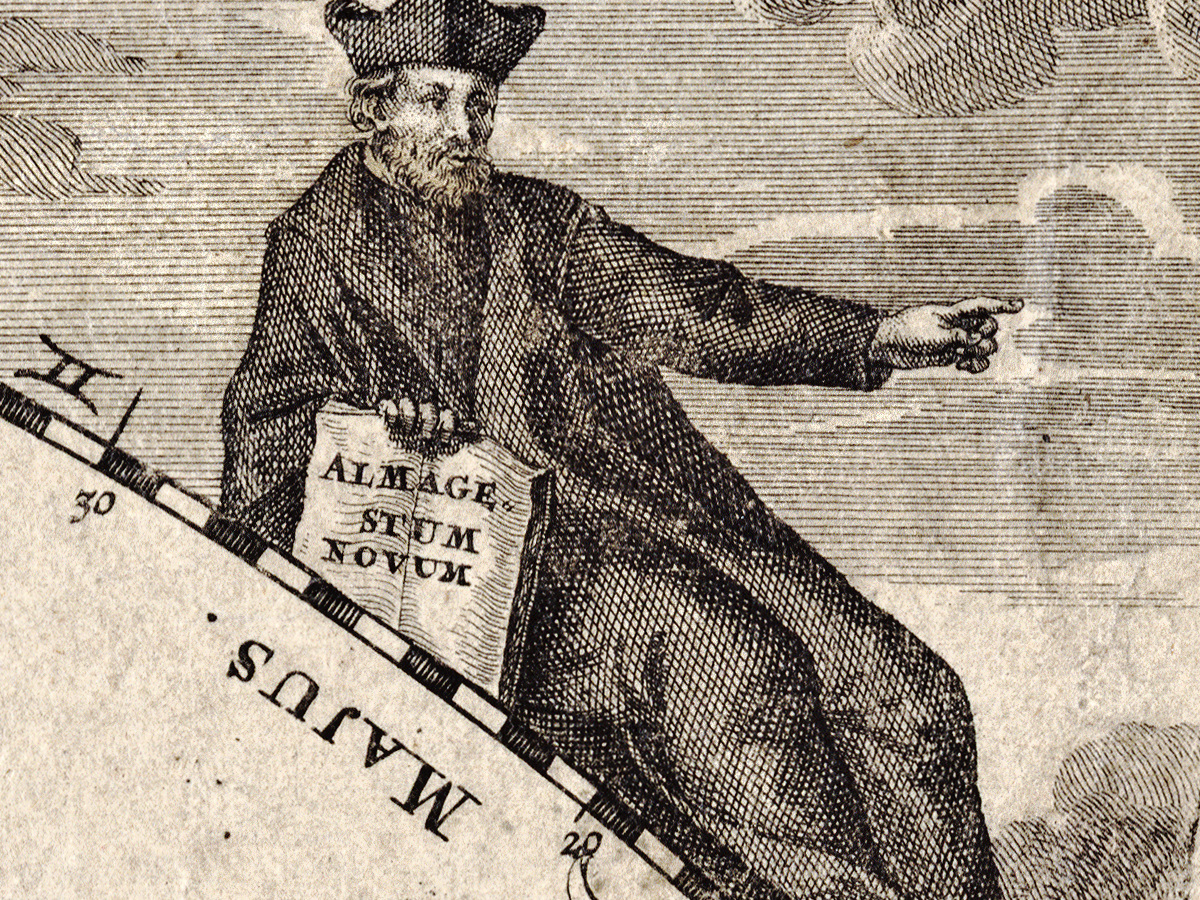
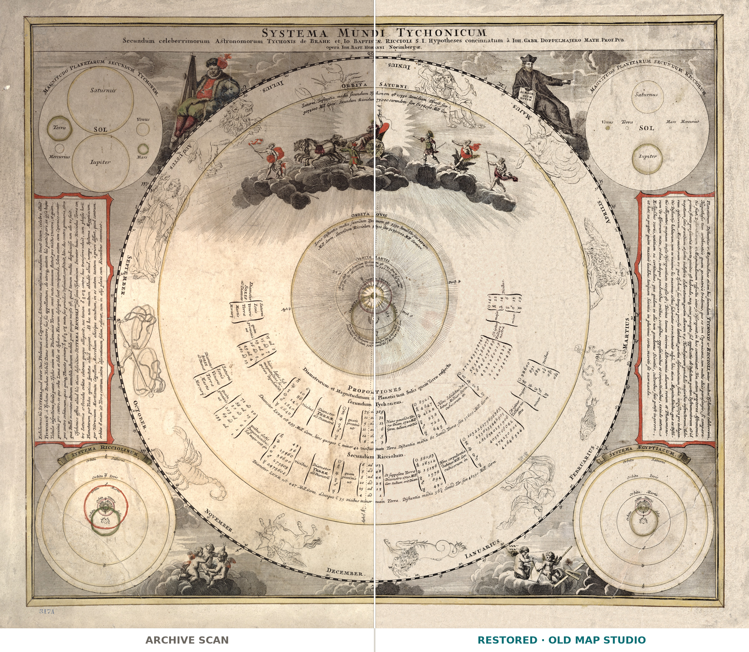
Systema mundi Tychonicum secundum celeberrimorum astronomorum Tychonis de Brahe et Io. Baptistae Riccioli S.I. hypotheses concinnatum — the Tychonic system of the world, arranged after the hypotheses of the celebrated astronomers Tycho Brahe and Giovanni Battista Riccioli of the Society of Jesus. Johann Baptist Homann (1663–1724) published this celestial map in Nuremberg, and the Library of Congress records that it appears in his Grosser Atlas über die gantze Welt, Nuremberg 1716.
Between Ptolemy and Copernicus
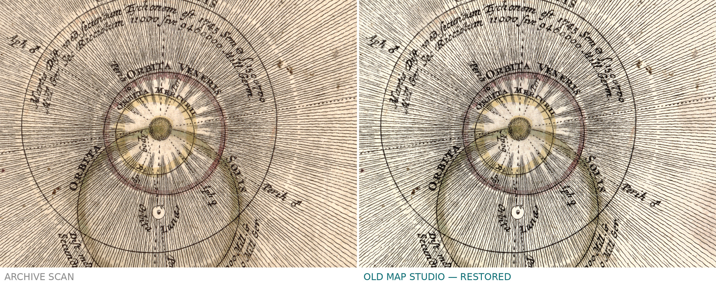
The title names a model, not a sky. In Tycho Brahe's system the earth stays at rest in the centre, the moon and the sun travel around it, and the other planets travel around the sun. Riccioli, a Jesuit astronomer in Bologna, defended a version of it in the seventeenth century. A sheet that names both men shows a compromise that was still being taught when Homann printed it.
Colored by hand, with a flaw we name
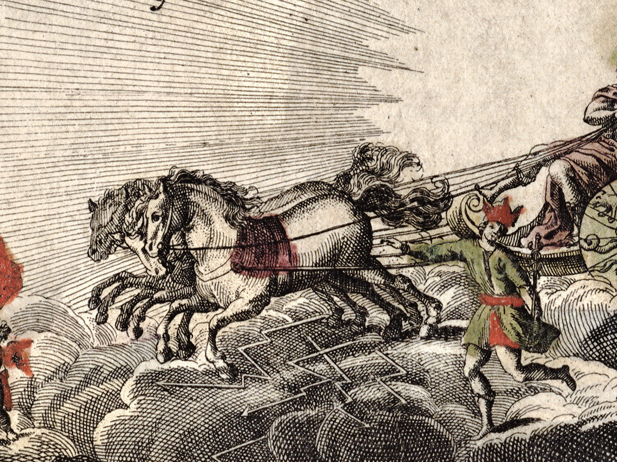
The record describes the map and its illustrations as colored by hand, on a sheet of 49 × 58 cm. It also states that the library's copy is imperfect: there is discoloration along the fold line, and the bottom edge and the centre fold were repaired with cardboard on the back. The record does not name the printing technique, and neither do we.
Your file
| Original | Johann Baptist Homann, Nuremberg, 1716, from his Grosser Atlas über die gantze Welt |
| Sheet | 49 × 58 cm, colored by hand |
| Scan | full sheet 9934 × 8335 px; the chart inside the trimmed border 9381 × 7934 px. From the library's own scan, not an upscale |
| Print size at 300 dpi | the map prints to 79 cm (31 in), the full sheet with margins to 84 cm (33 in) |
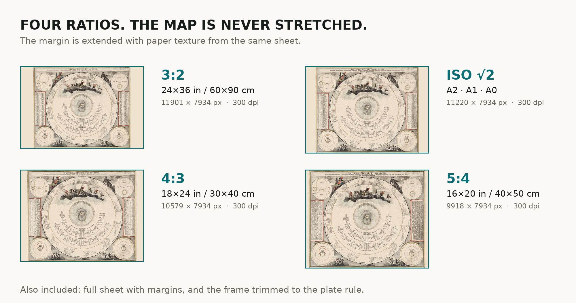
| You download | six ZIP archives: full sheet, trimmed, 3:2, 4:3, 5:4 and ISO A |
| Inside each one | one JPEG at 300 dpi, the restoration passport as a PDF, a READ ME |
How to print
- Print at 300 dpi at the size above and do not let the shop scale the file up.
- Pick the archive whose proportions match your frame, so nothing is cropped or stretched.
- Ask for matte fine-art paper, printed in sRGB with auto-enhancement off.
- Where to print it: print shops near you and checked prices at online labs.
Source and rights
Library of Congress, Geography and Map Division, call number G3180 1716 .H6, LCCN 2013593139. The library states that the content of its Geography and Map Division digitized collections is free to use and reuse. There is no TIFF master in the package. Catalogue record: Library of Congress →
Questions
What exactly do I get after paying?
Six ZIP archives, each with one JPEG at 300 dpi, a restoration passport as a PDF and a READ ME. They differ only in framing.
Is the earth really at the centre?
Yes. That is the Tychonic system the title announces: the earth at rest, the sun and moon around it, the other planets around the sun.
What is the flaw along the middle?
The sheet was folded in the atlas. The library notes discoloration along the fold and a repair of the fold and the bottom edge on the back.
Features
- Latin
Attachments
Reviews
No reviews found
See also
-
 Antique Star Chart 1700 — Allard, Southern Celestial Hemisphere
-
Antique Star Chart c. 1772 — Lotter, Planisphaerium Coeleste
-
Antique Star Chart 1708 — Situs Terrae, Ptolemaic Heavens
-
Antique Star Chart 1708 — Typus Aspectuum, Northern Sky
-
Antique Star Chart 1708 — Haemisphaeria Sphaerarum
-
Antique Celestial Map 1593 — Van Aelst, Spheres of Heaven