Antique Star Chart 1700 — Allard, Southern Celestial Hemisphere


Description
A constellation map of the southern sky, Amsterdam 1700
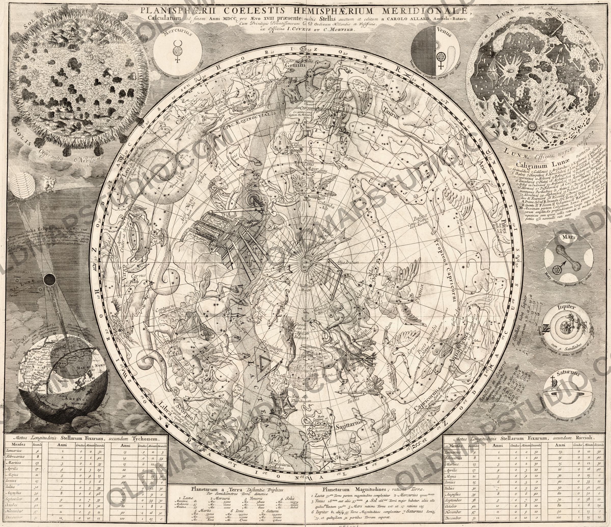
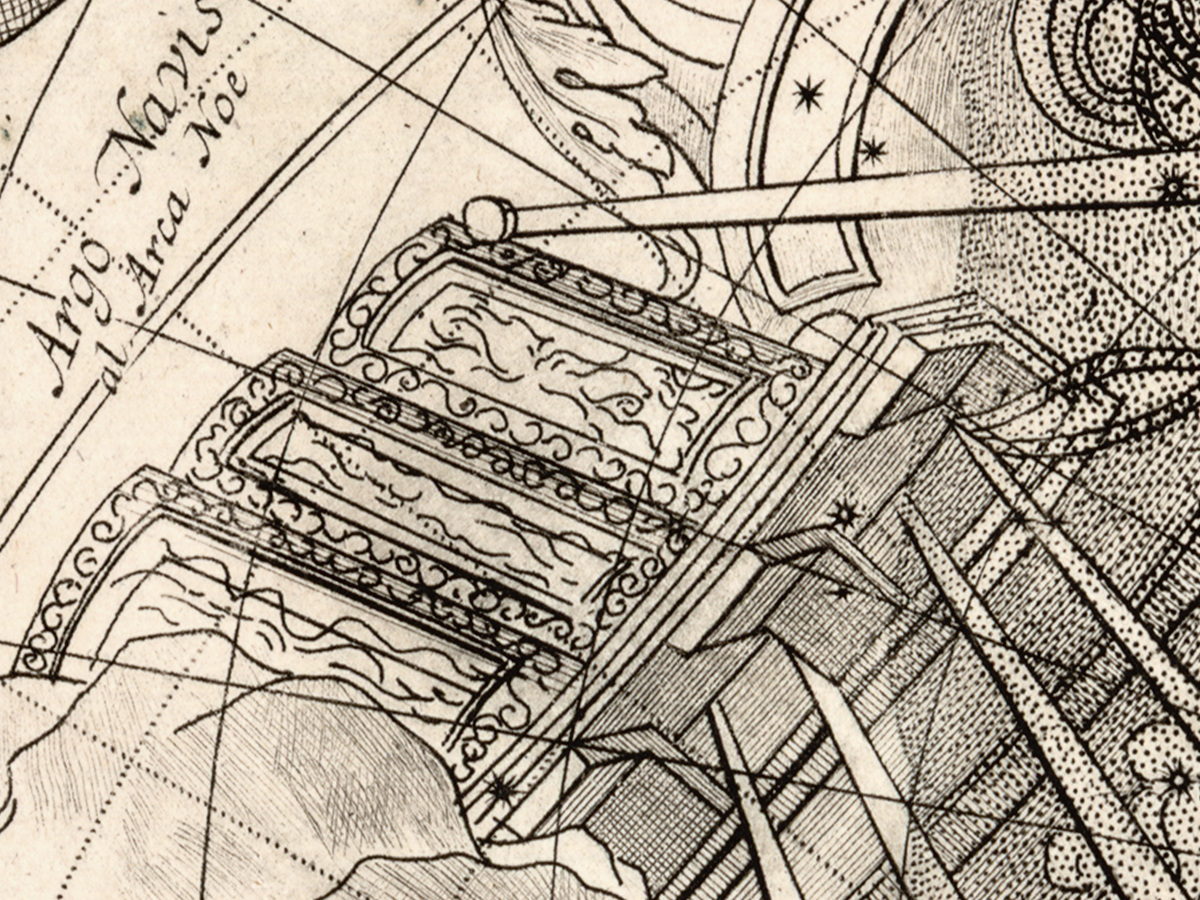
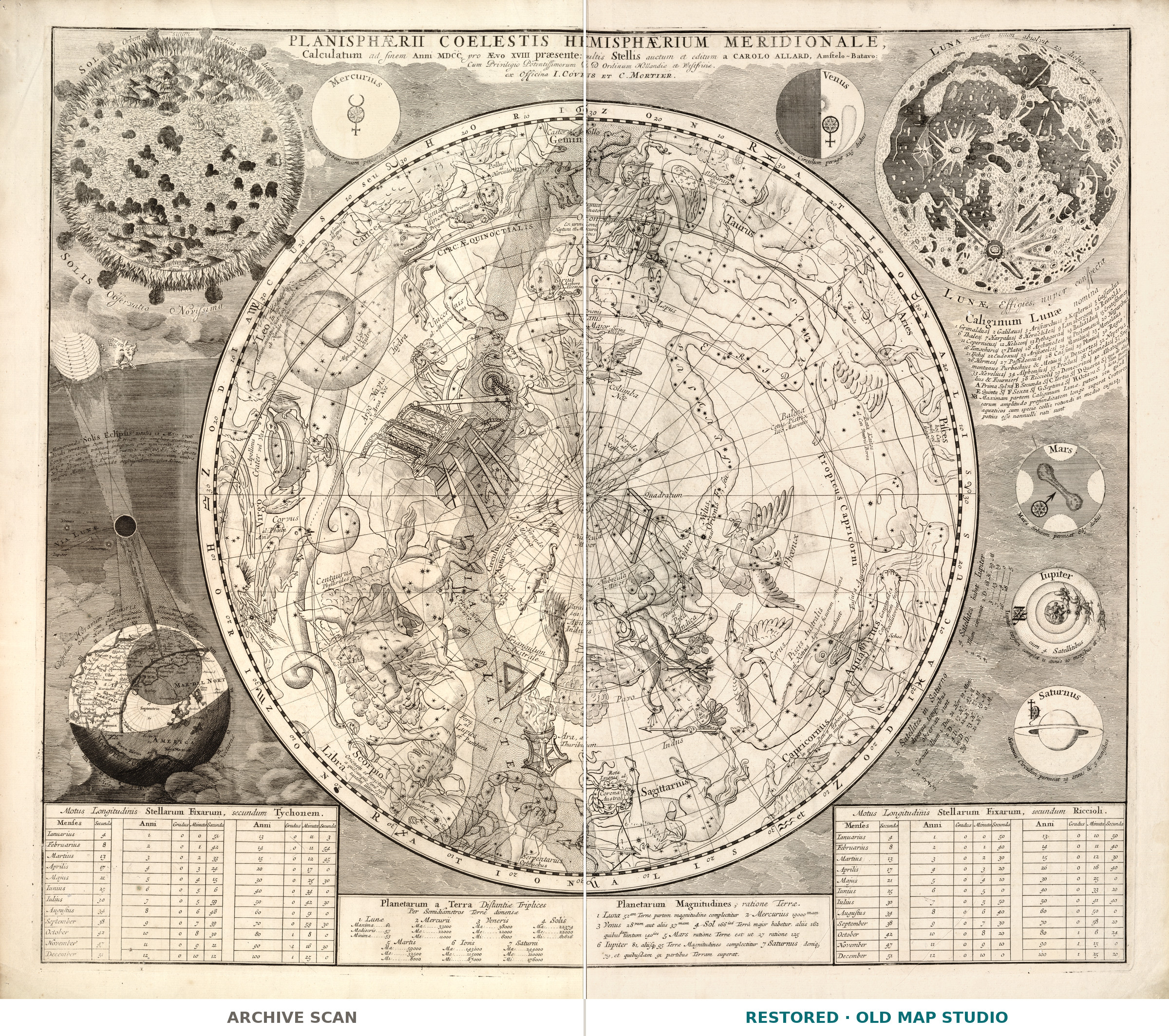
Planisphaerii coelestis hemisphaerium meridionale, calculatum ad finem anni MDCC, pro aevo XVIII praesente — the southern hemisphere of the celestial planisphere, calculated for the end of the year 1700, for the eighteenth century now beginning. Carel Allard drew it and the Amsterdam house of Covens and Mortier published it. The Library of Congress describes a hemispheric view with the signs of the zodiac and the constellations shown pictorially, surrounded by tables and notes on the stars.
A whole astronomy lesson around one sky
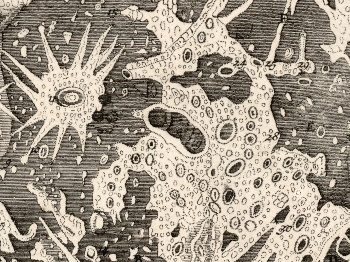
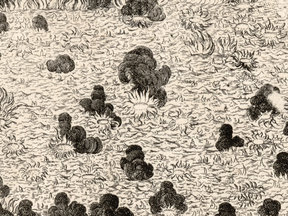
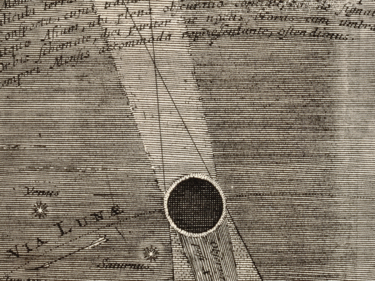
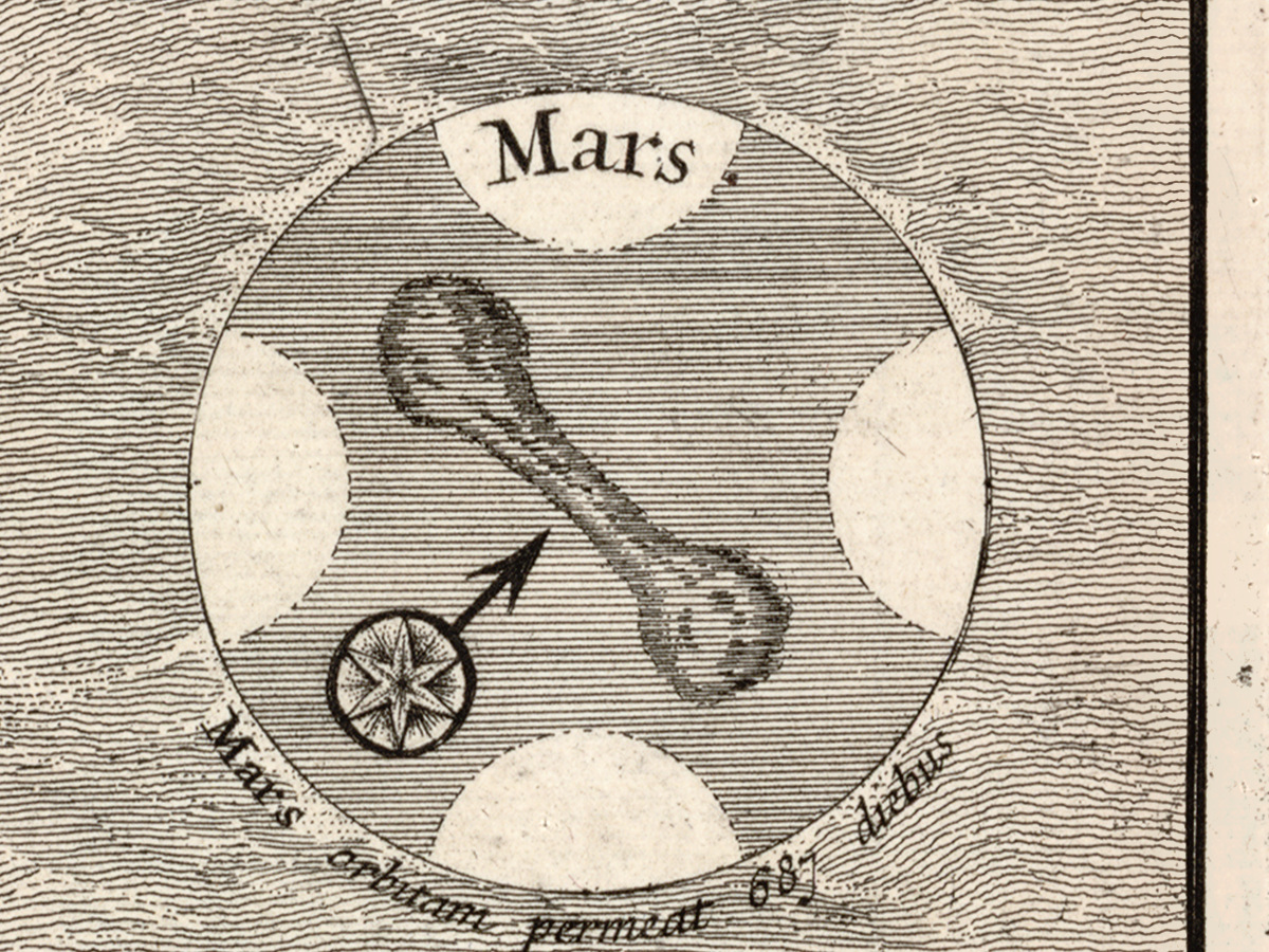
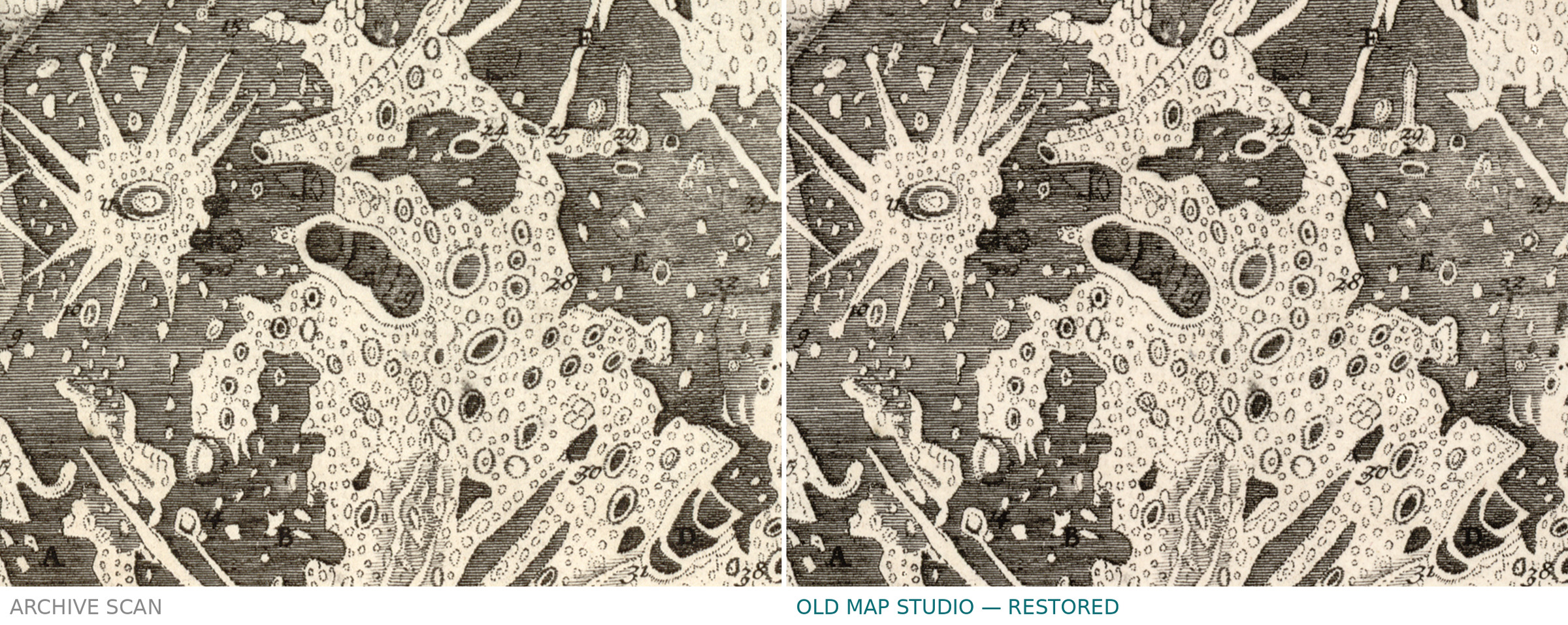
The hemisphere is only the centre of the sheet. Around it the record lists insets of solar observations, depictions of the moon, memoranda on eclipses and charts of the five planets then known — Mercury, Venus, Mars, Jupiter and Saturn. On the original the hemisphere measures 41 cm across on a sheet of 56 × 65 cm, so the corners carry almost as much as the sky itself.
Our copy is the uncolored one
The library holds two copies. The first is hand colored and mounted on cloth; ours is the second, which the catalogue lists simply as «Copy 2. Uncolored». What you get is the black line of the print on its paper, with no wash of color added later. The record does not name the printing technique, and neither do we.
Your file
| Original | Carel Allard, published by I. Covens and C. Mortier, Amsterdam, 1700; Library of Congress Copy 2, uncolored |
| Sheet | hemisphere 41 cm in diameter on a sheet of 56 × 65 cm, as the record describes the edition |
| Scan | full sheet 9901 × 8464 px; the chart inside the trimmed border 9319 × 8045 px. From the library's own scan, not an upscale |
| Print size at 300 dpi | the map prints to 78 cm (31 in), the full sheet with margins to 83 cm (32 in) |
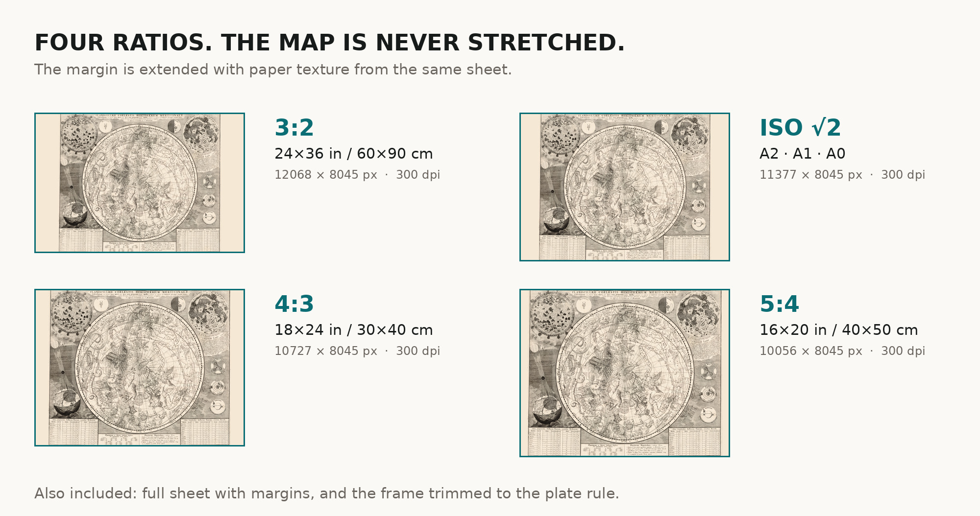
| You download | six ZIP archives: full sheet, trimmed, 3:2, 4:3, 5:4 and ISO A |
| Inside each one | one JPEG at 300 dpi, the restoration passport as a PDF, a READ ME |
How to print
- Print at 300 dpi at the size above and do not let the shop scale the file up.
- Pick the archive whose proportions match your frame, so nothing is cropped or stretched.
- Ask for matte fine-art paper, printed in sRGB with auto-enhancement off.
- Where to print it: print shops near you and checked prices at online labs.
Source and rights
Library of Congress, Geography and Map Division, call number G3190 1700 .A4 Copy 2, LCCN 2012590167. The library states there are generally no copyright restrictions on its use. There is no TIFF master in the package. Catalogue record: Library of Congress →
Questions
What exactly do I get after paying?
Six ZIP archives, each with one JPEG at 300 dpi, a restoration passport as a PDF and a READ ME. They differ only in framing.
Why is the year 1700?
The title says the star positions are calculated for the end of 1700, and the Library of Congress dates the sheet to that year. We follow the library.
Is it colored?
No. Our scan is the library's uncolored second copy; the colored copy is a different sheet.
Features
- Latin
Attachments
Reviews
No reviews found
See also
-
 Antique Star Chart 1708 — Situs Terrae, Ptolemaic Heavens
-
Antique Star Chart 1716 — Homann, Systema Mundi Tychonicum
-
Antique Star Chart 1708 — Haemisphaeria Sphaerarum
-
Antique Star Chart c. 1772 — Lotter, Planisphaerium Coeleste
-
Antique Star Chart 1708 — Planisphaerium Copernicanum
-
Antique Star Chart 1708 — Typus Aspectuum, Northern Sky